2023 Hetch Hetchy / Yosemite Hike
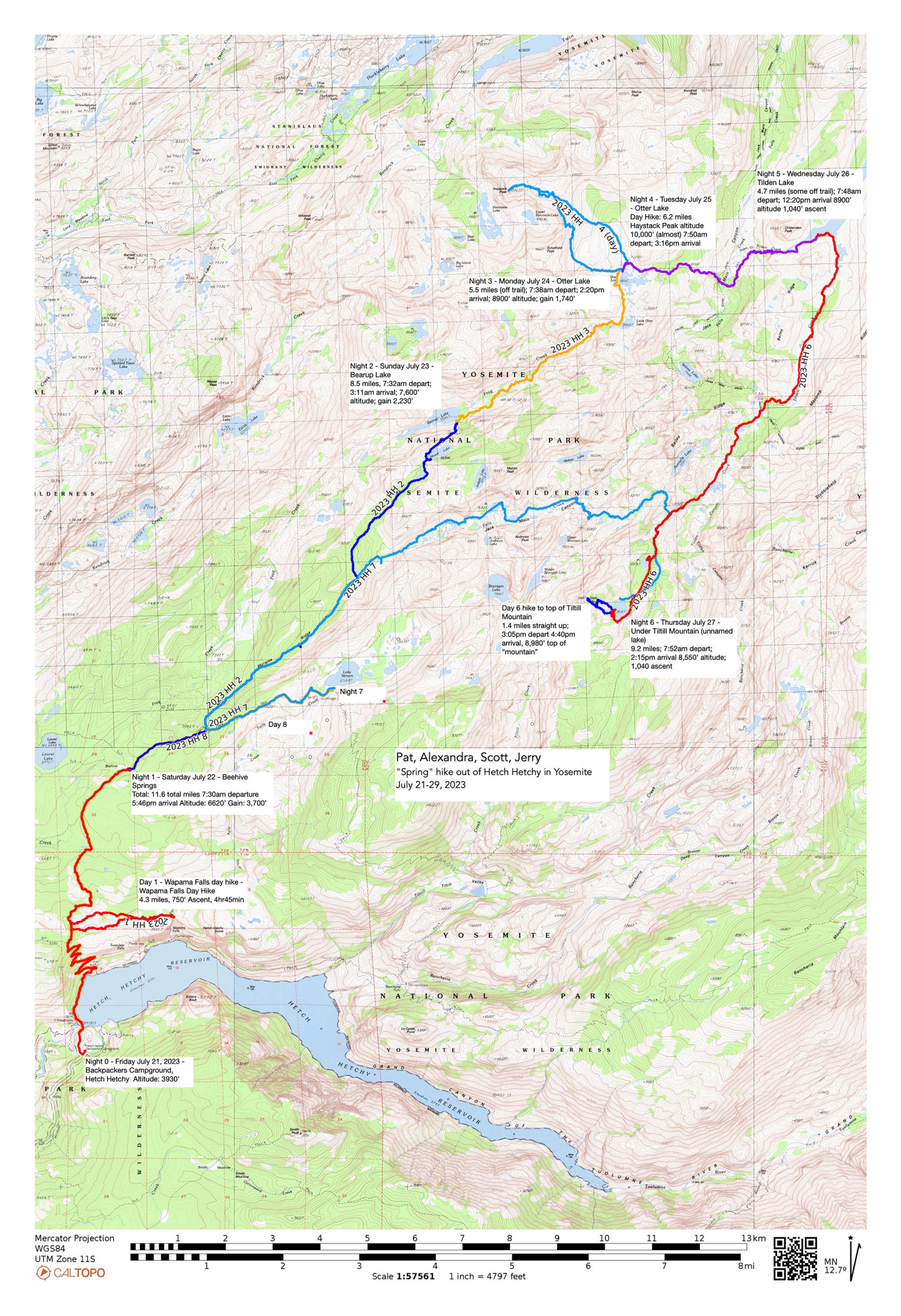
A change of plan hike for July 2023. Originally we had our sites on the Yosemite High Route off trail adventure – but 250% snow for the season has really messed things up at high altitude! Pat was able to get a permit for Hetch Hetchy and Alexandra/Scott made best use of the permit to give us 8 days (7 nights) out of the Hetch Hetchy valley.
Map on CalTopo: https://caltopo.com/m/VEJC2
Here is the .gpx of the trek: https://files.jerrypierce.org/gpx/2023-Hetch-Hetchy.GPX
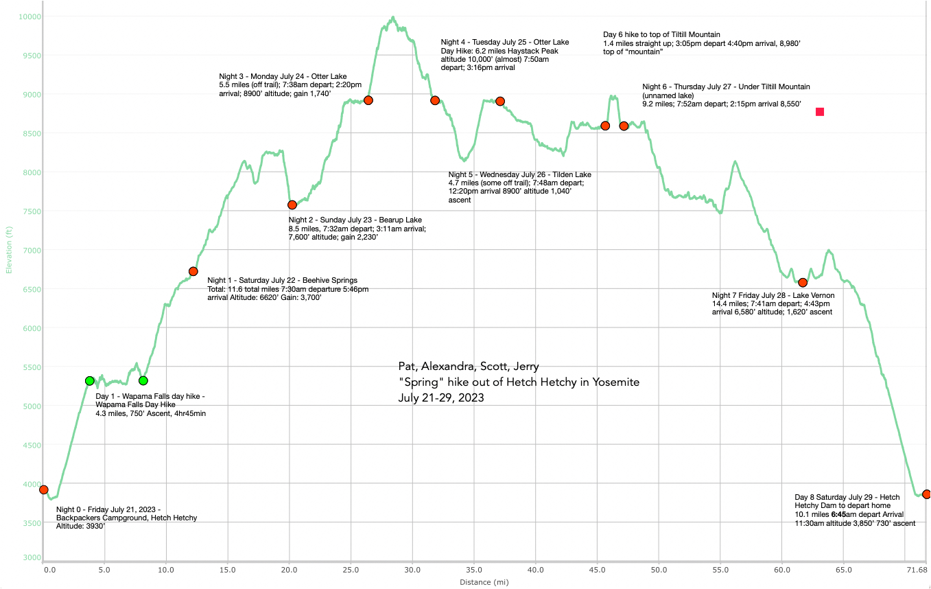
The day our hike started – Saturday July 22, 2023 Tioga Road was opening for the first time this season! Our hike ended up being a springtime flower tour! We had snow near the top sections – certainly above 8,500′ there were patches – even some of the lakes still had lots of ice/snow. BUT THE FLOWERS!
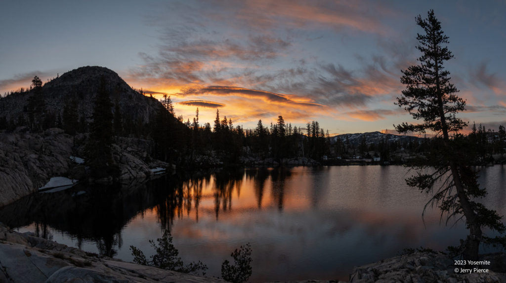
Otter Lake Sunrise
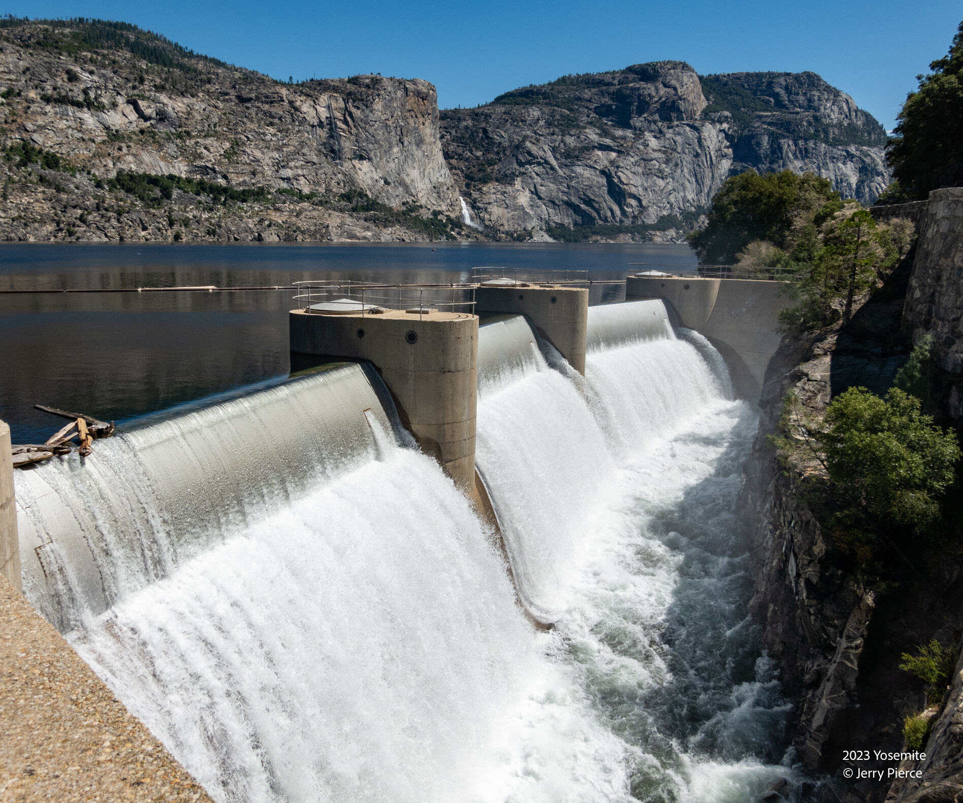
We arrived a day early on Friday to get our permit, avoid the long line getting into Yosemite and we stayed at the backpackers walk-in campsite right near the dam. The lake was FULL and was releasing LOTS of water. Alexandra arrived a little later (around 6) and we were a happy band of soon-to-be-hikers.
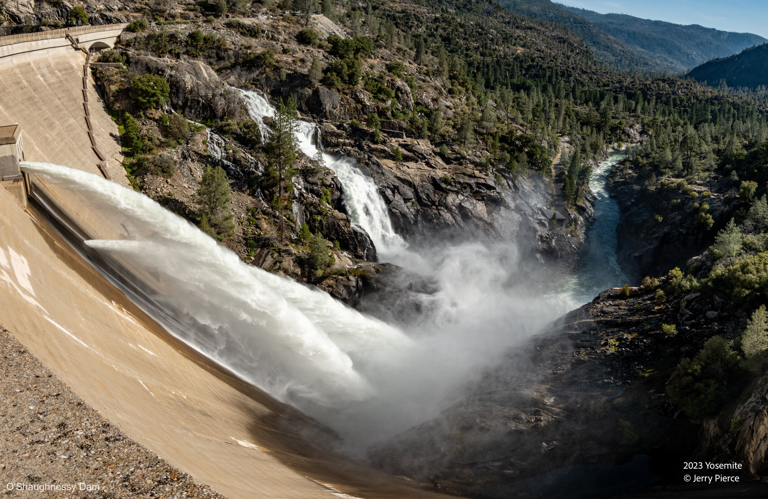
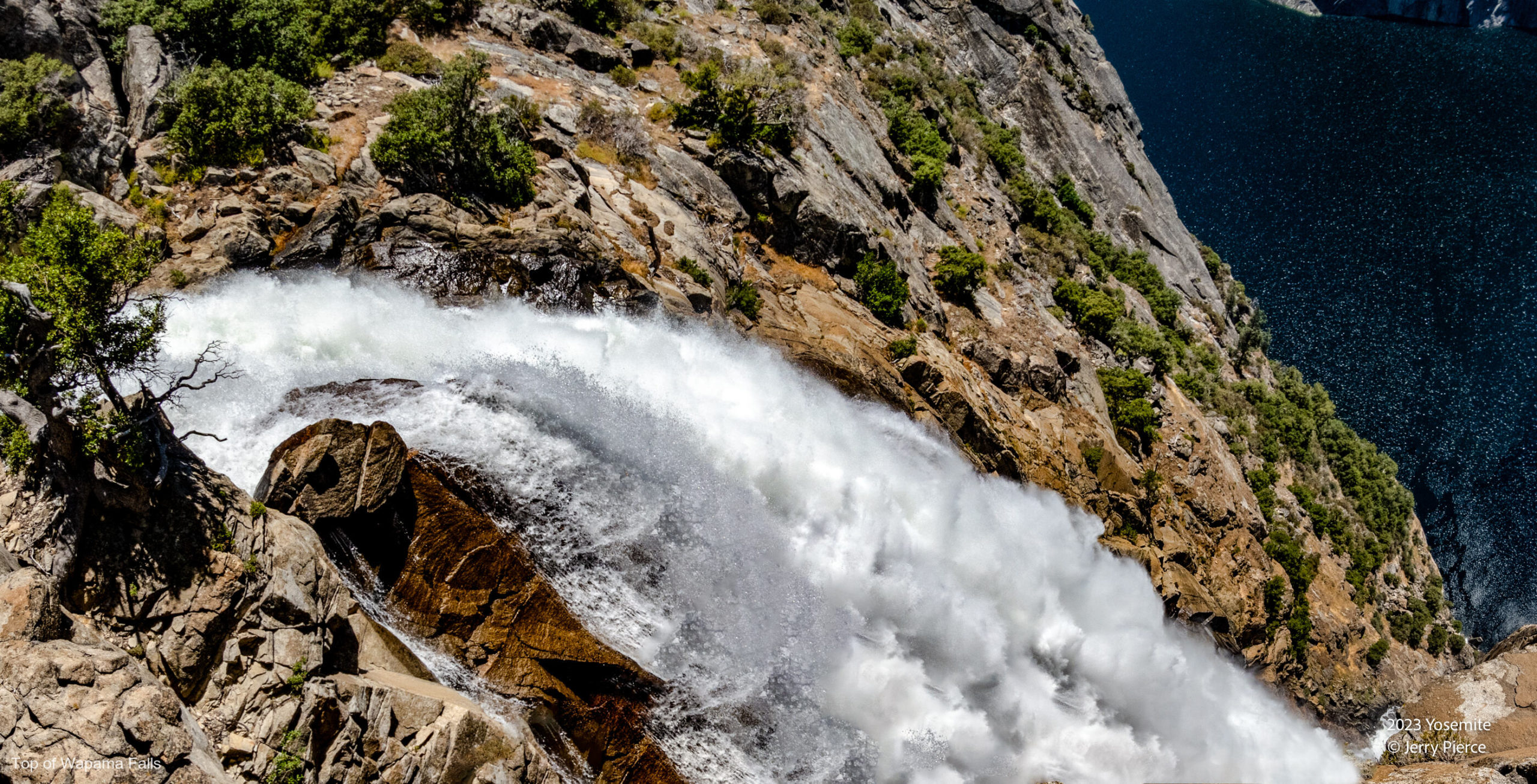
This was the outflow from the dam on the day we arrived. Everything was flowing!
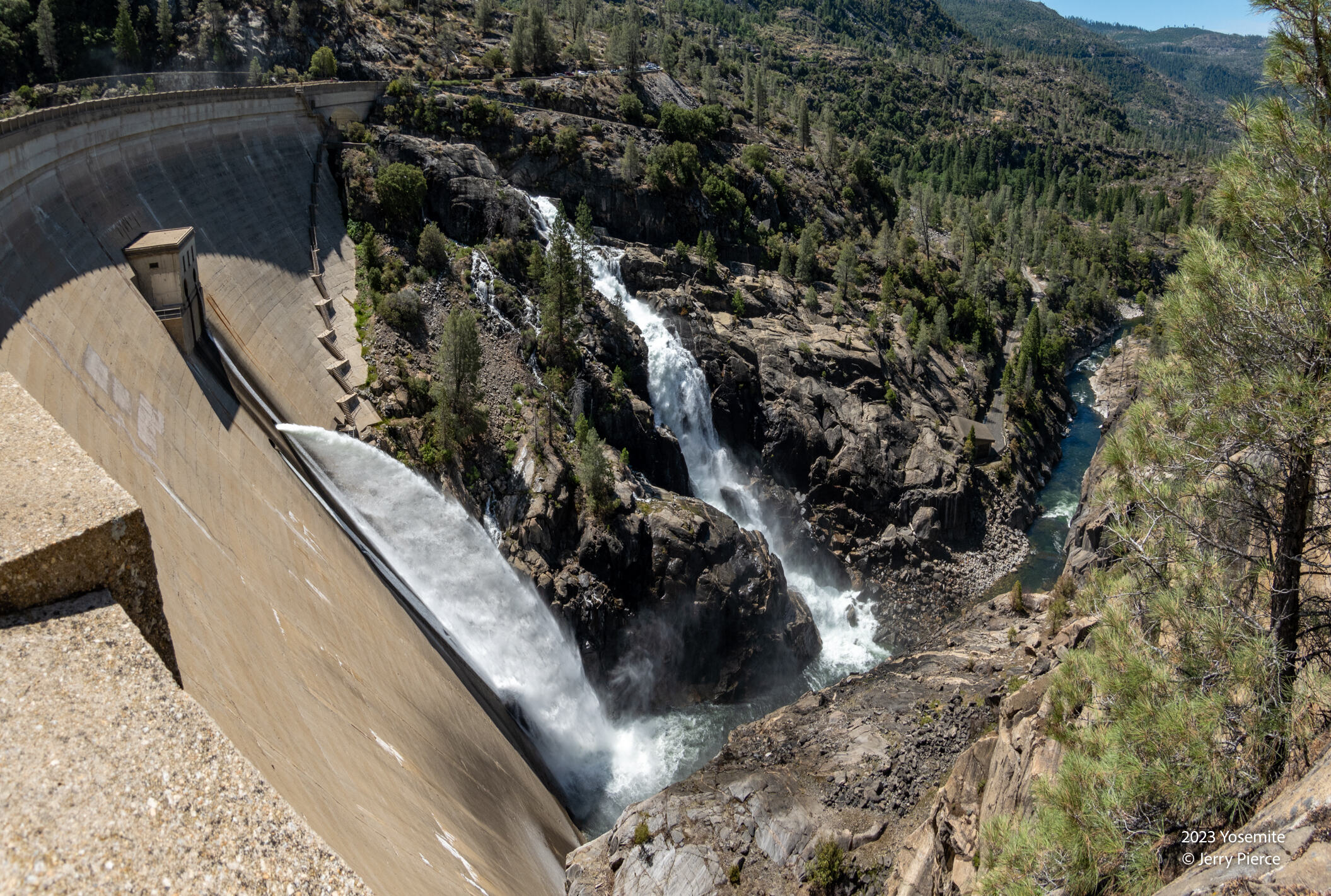
And this is what it looked like as we hiked out. Flows are way down. Just one week later!
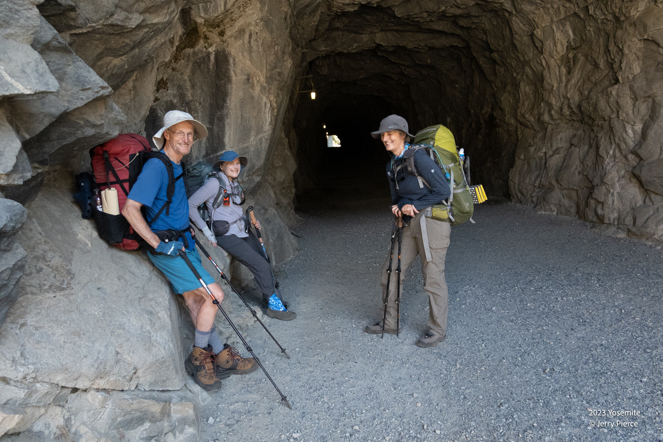
All clean and fully loaded – from 30 to 40 pounds per pack.
And off we went across the dam and UP UP UP the switchbacks on the way to Beehive. It was going to be HOT at the dam – close to 100°f. We got an early start to try and avoid the heat.
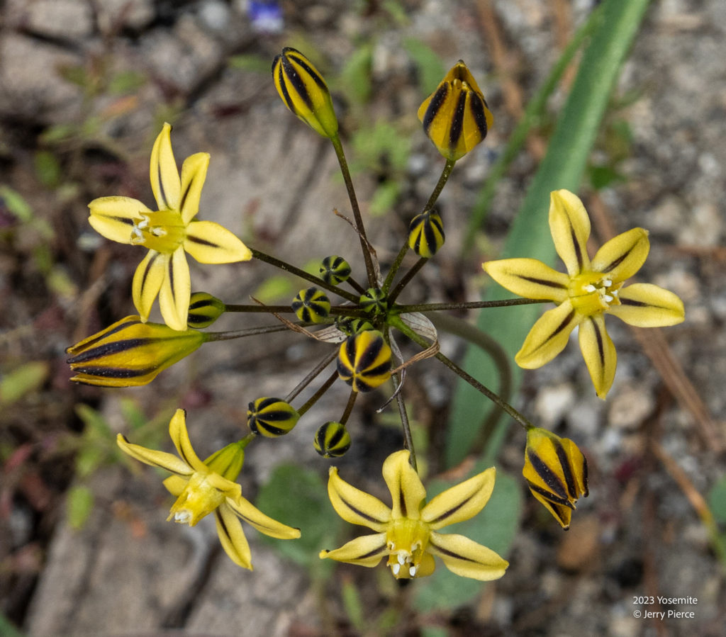
Golden Brodiaea (Pretty Face)
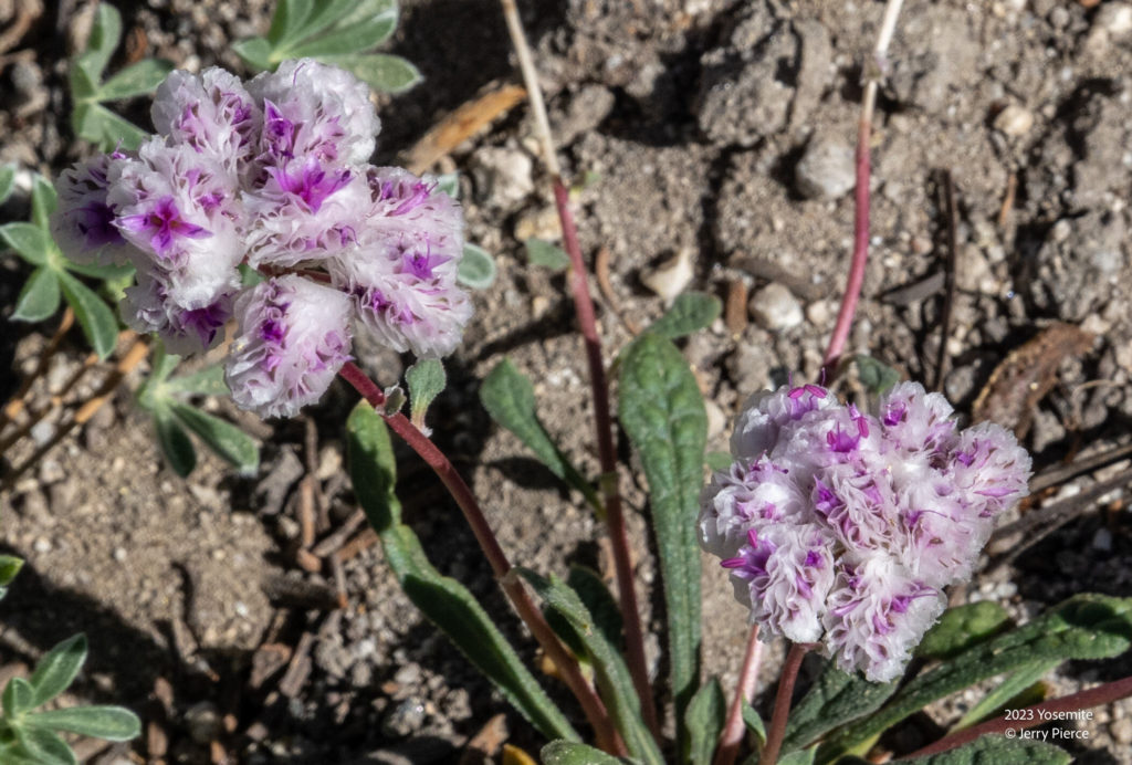
Oneseed Pussypaws
As we moved up to higher elevations it became clear that it was NOT summer, but spring! The flowers are out!
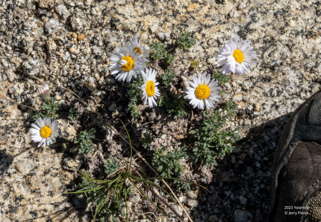
Spreading Fleabane
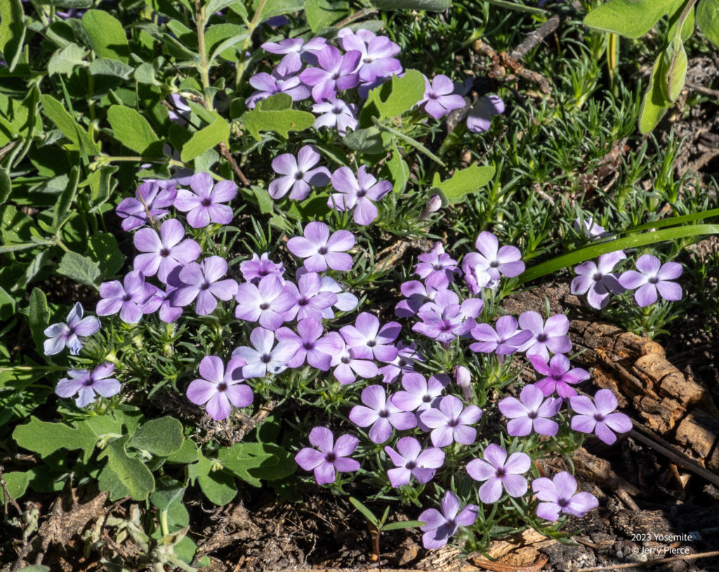
Spreading Phlox
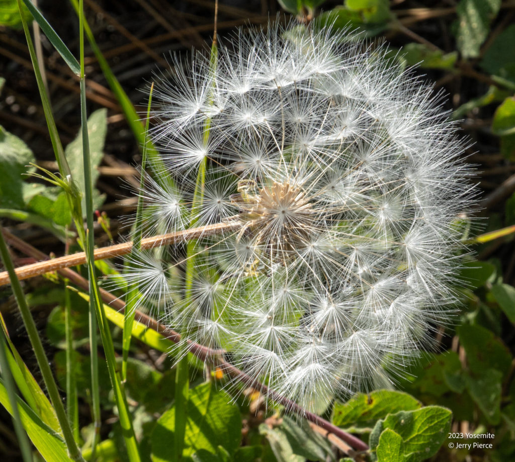
Red-seed dandelion (Rock dandelion)
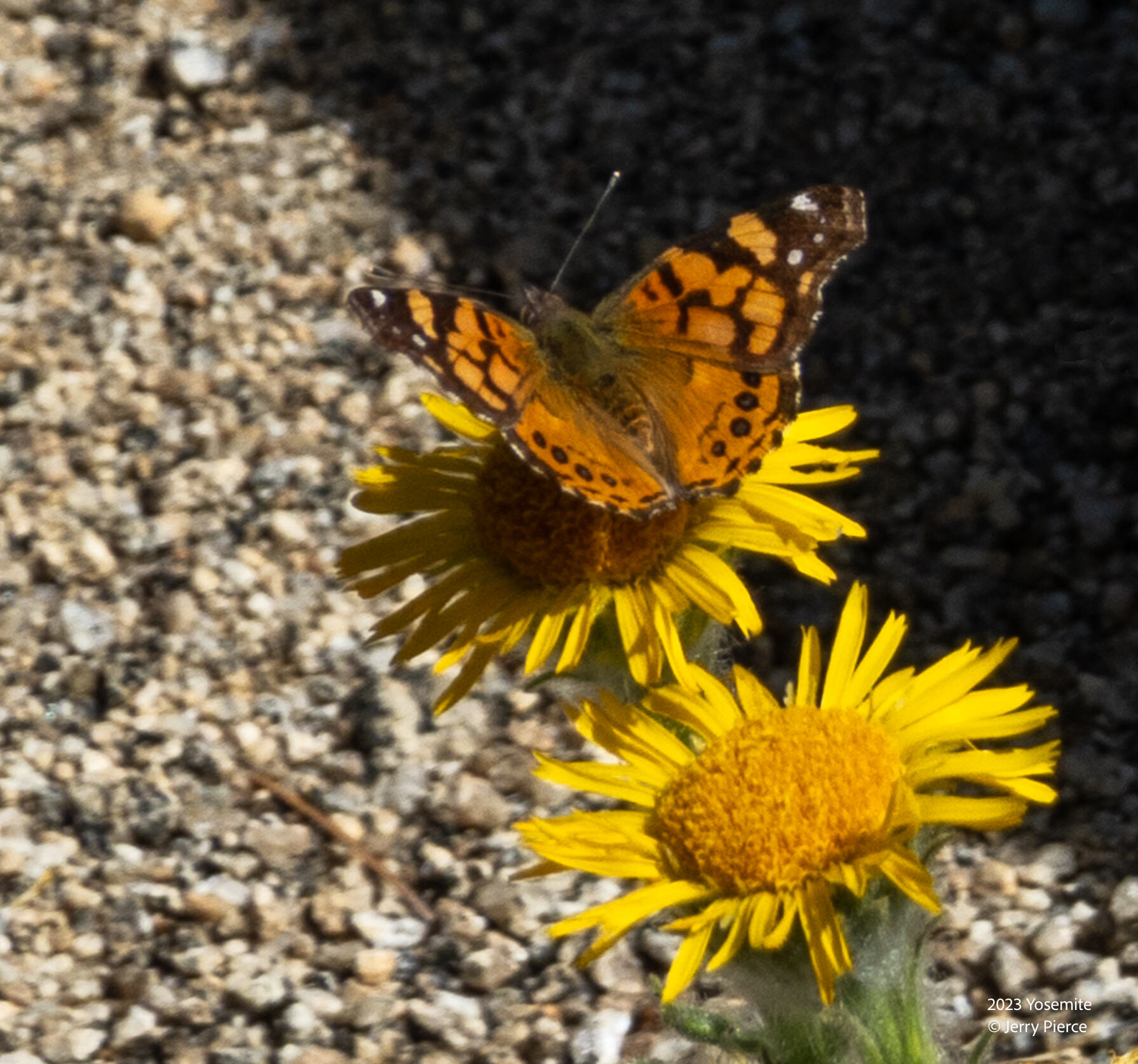
Telegraphyweed
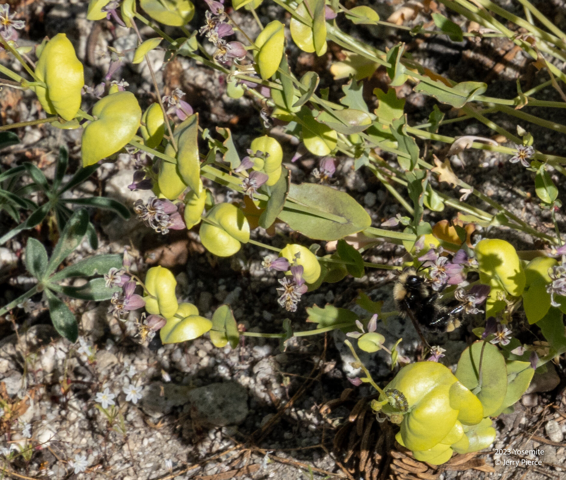
Clasping pepperweed (?)
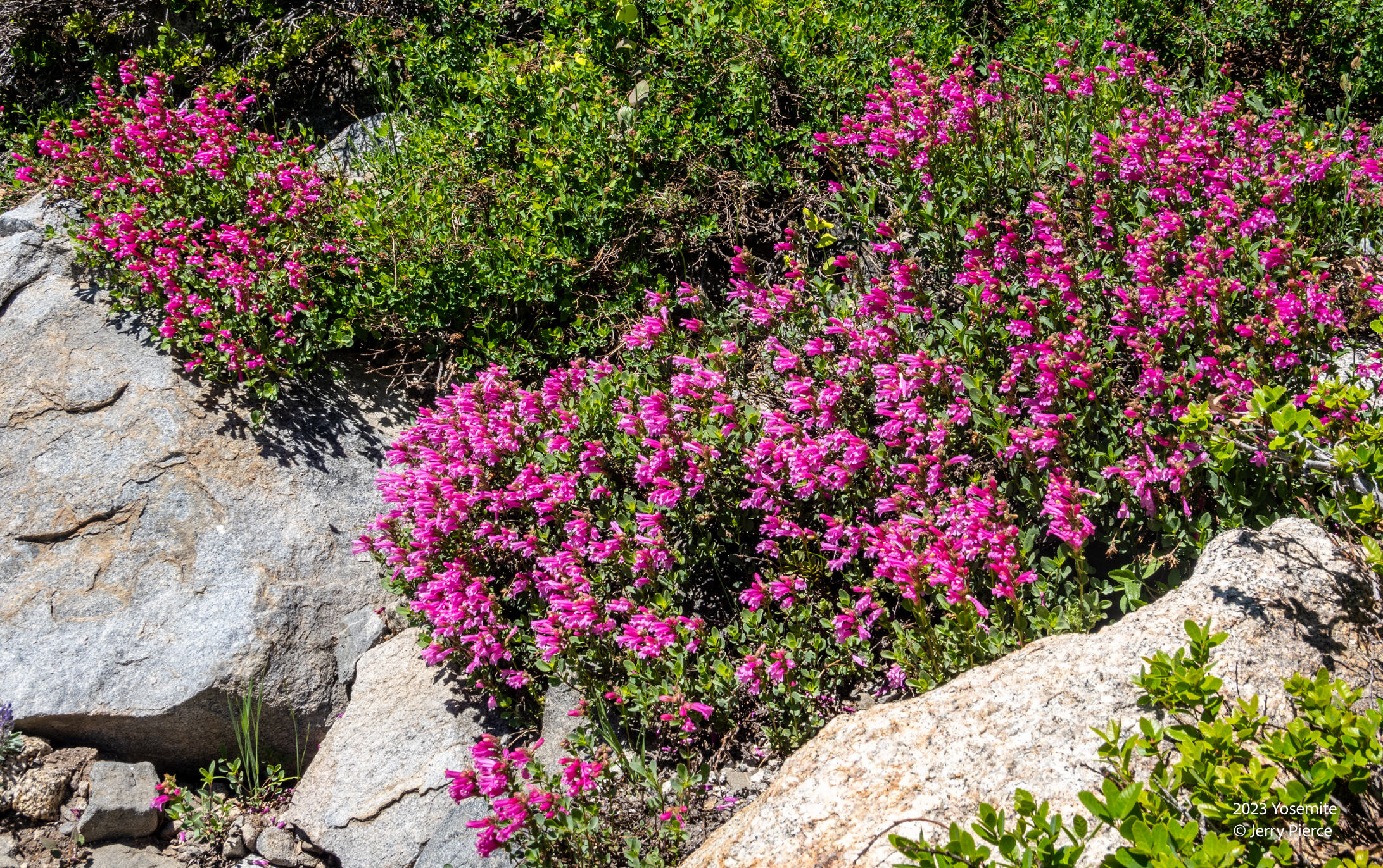
Mountain pride
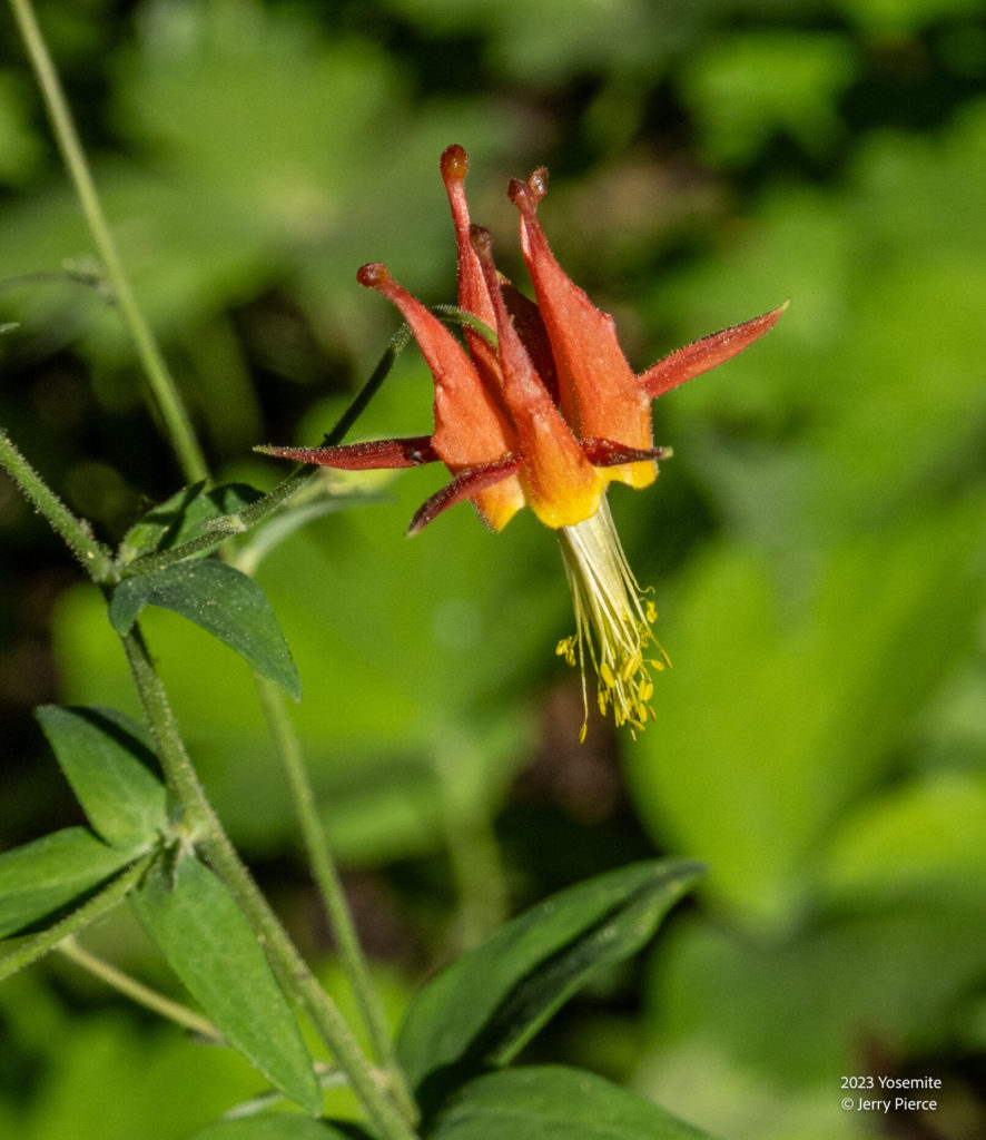
Crimson Columbine
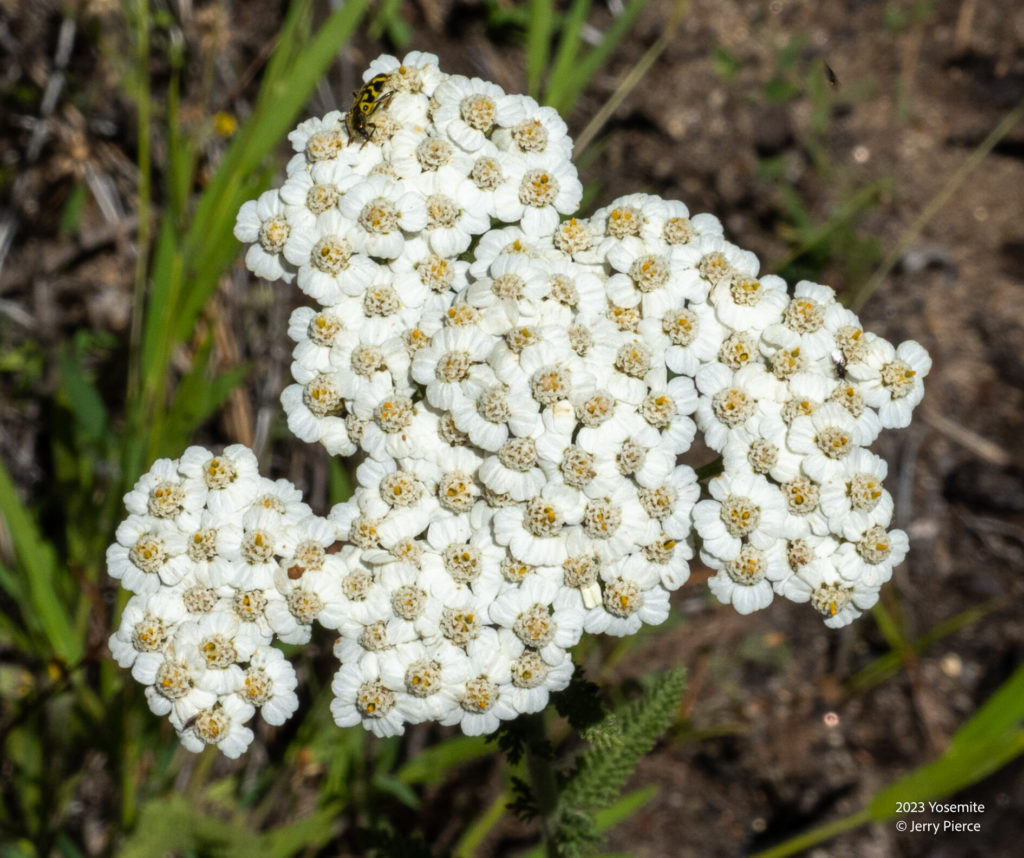
Yarrow
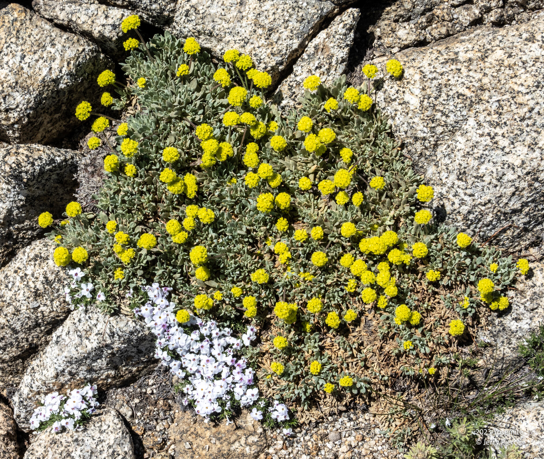
Sulphurflower Buckwheat
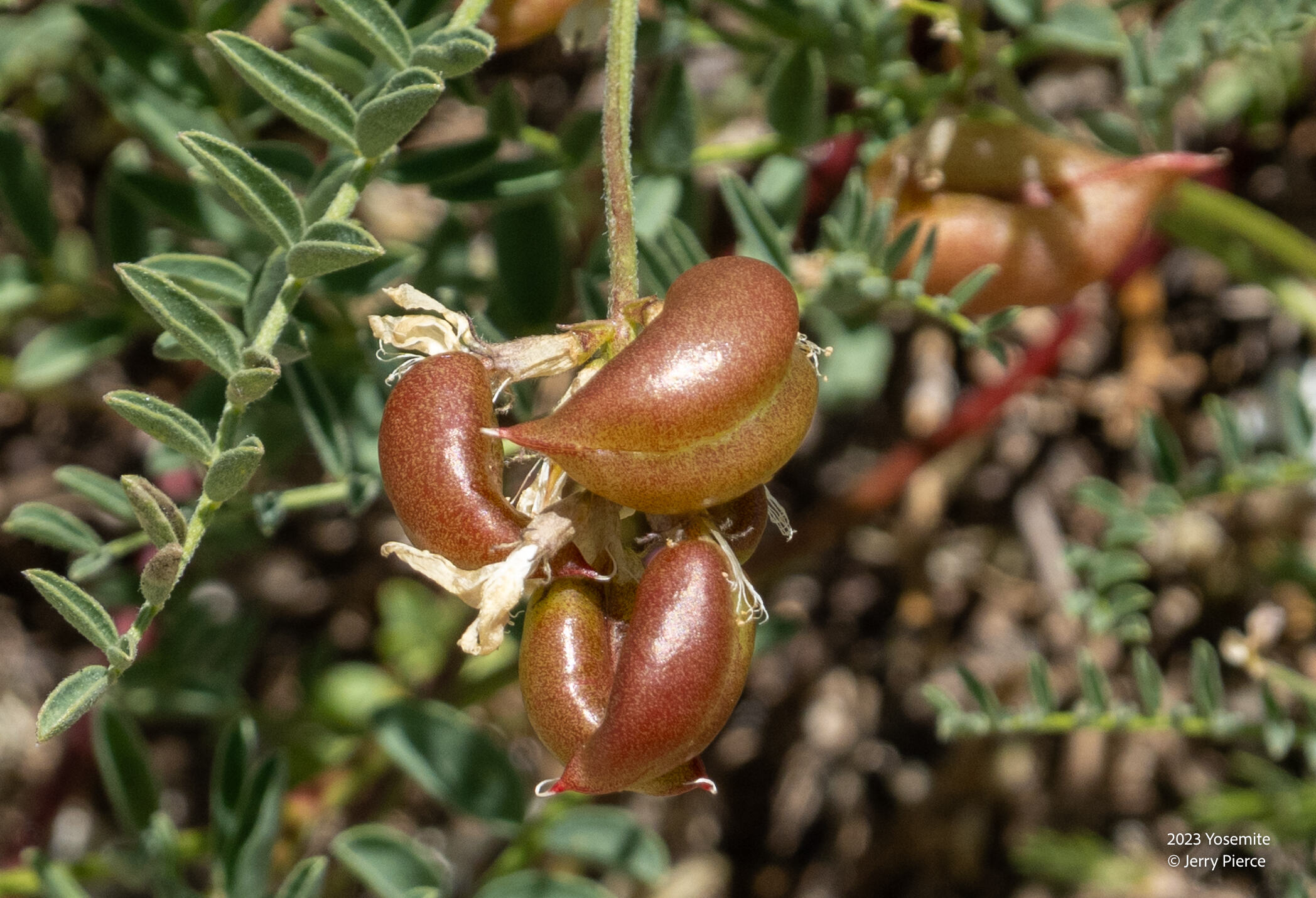
Ground plum
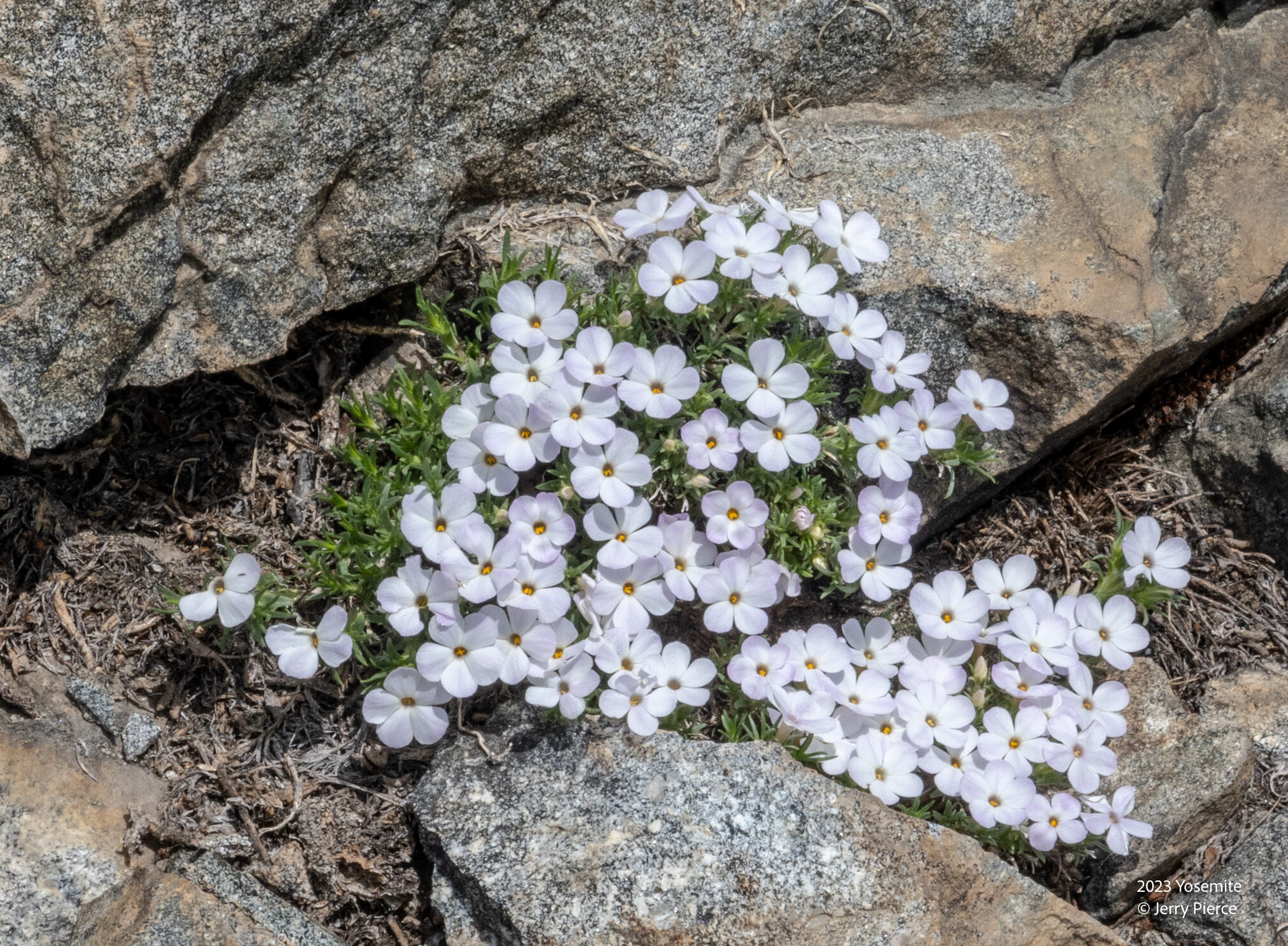
Spreading Phlox
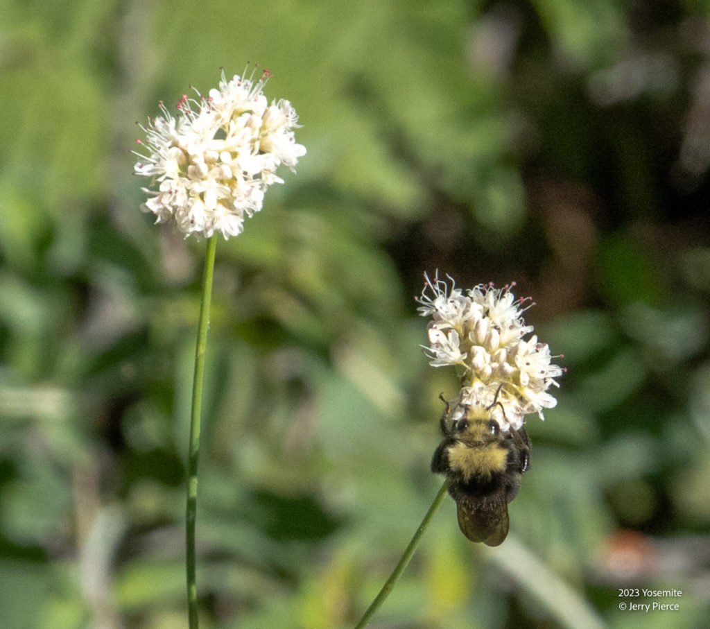
Naked buckwheat
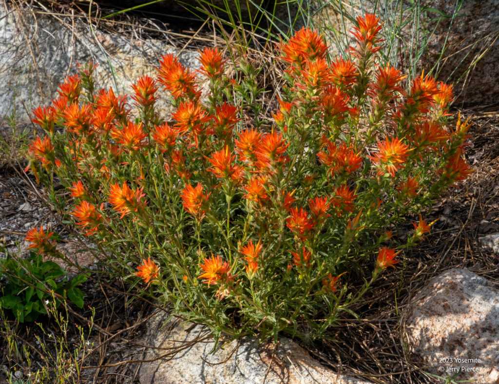
Indian paintbrush
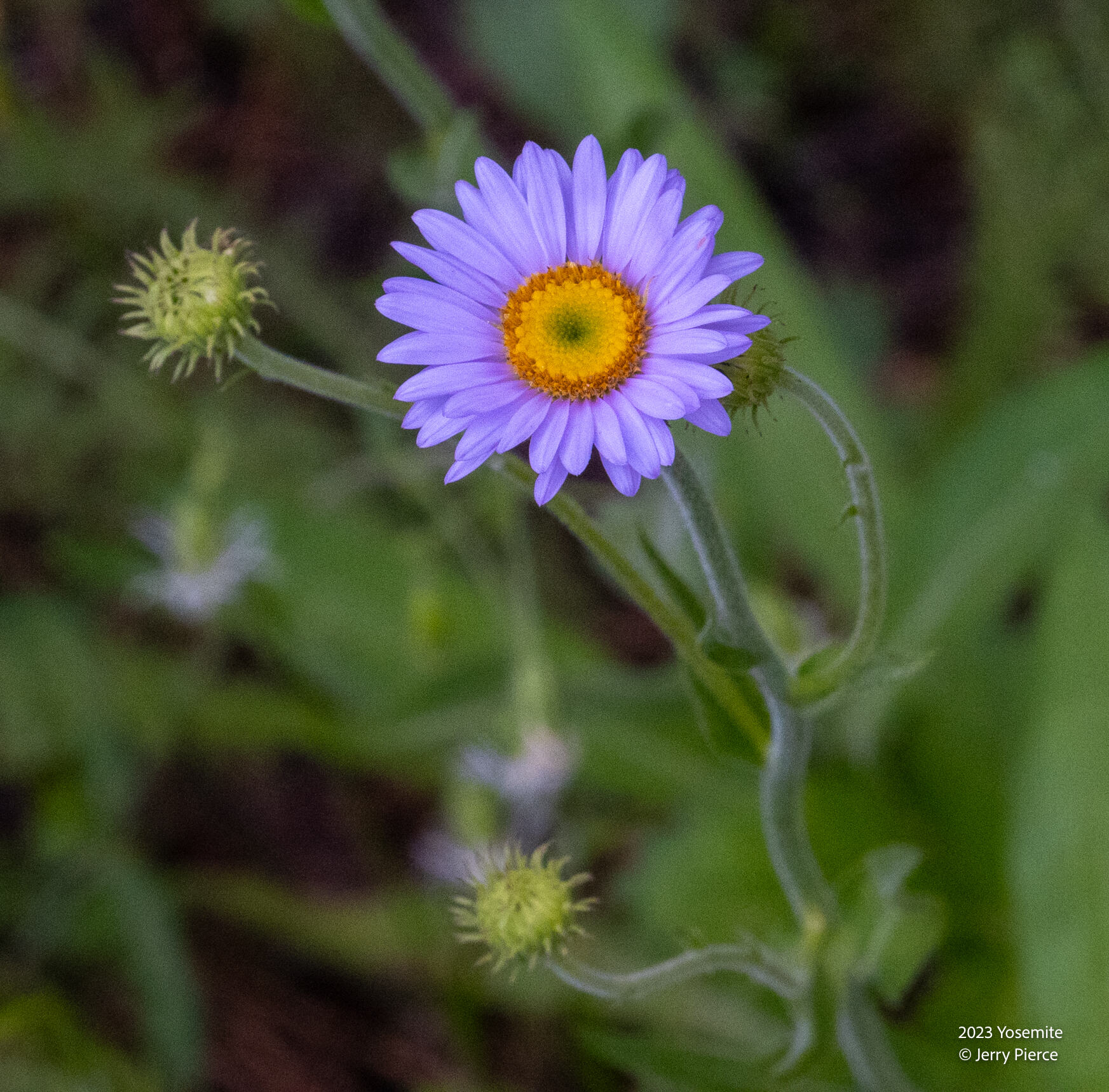
Wandering daisy
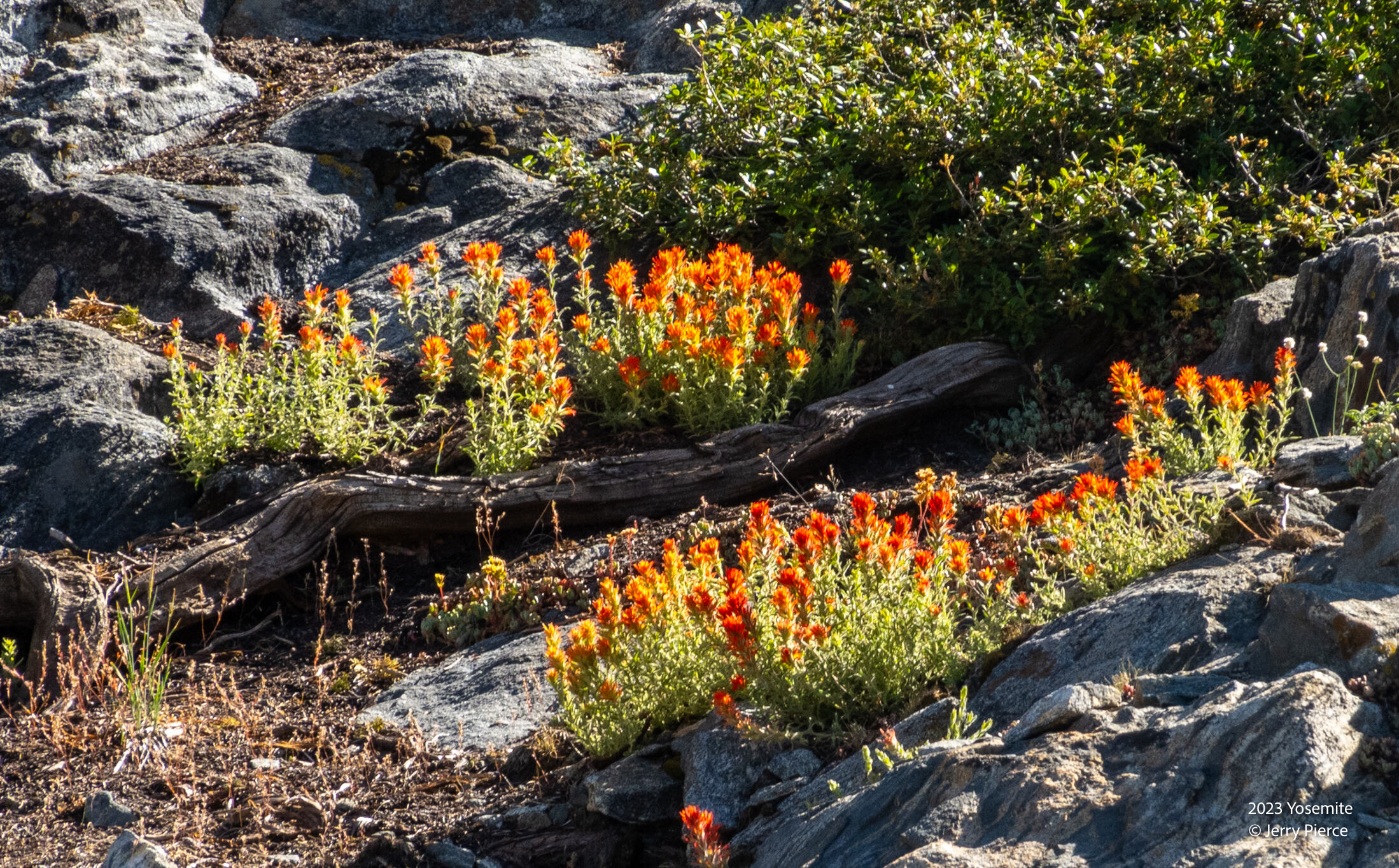
Indian paintbrush
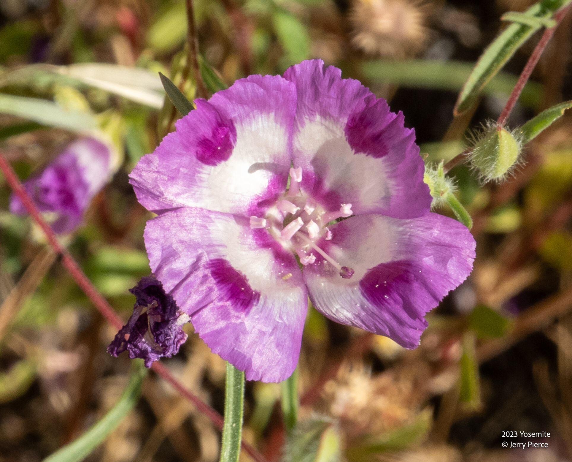
Wineup clarkia
We decided to take a detour half way to Beehive camp and go see the top of Wapama Falls – WOW! What a great detour. A challenging hike, but worth it! Challenging because it’s off trail and we didn’t choose the right way to get there – a much better way on the way back!
I had a bit of a physical challenge at the end of the first day. My legs cramped on the hike back from Wapama Falls – I suspect it was primarily dehydration, but could be training, inappropriate food the night before or just plain old age. But I was drinking many liters of water and felt much better on Sunday.
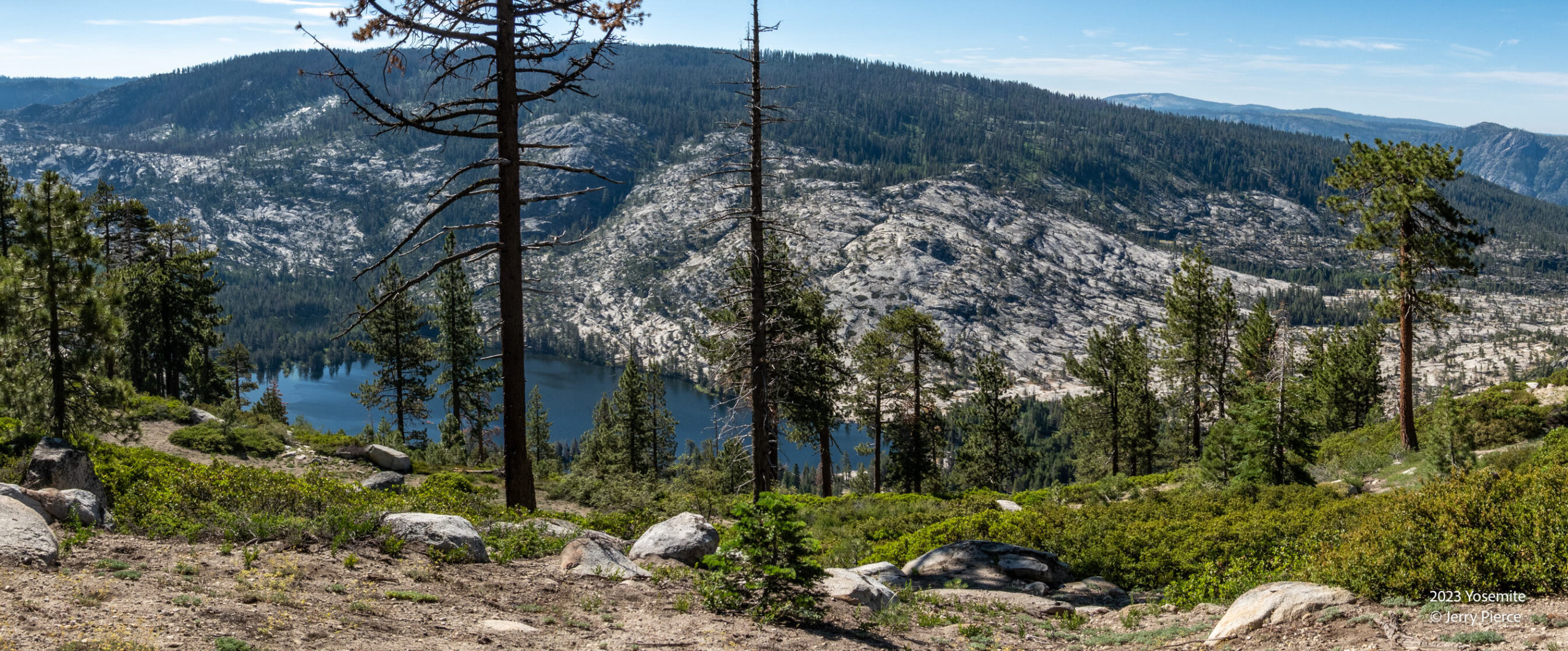
We hiked along the ridge first on-trail, then cut off to head to Bearup lake off-trail. It would be our last contact with other humans for 5 days. I love off-trail. This was a glimpse of Vernon Lake – what would end up being our last night on the trail many days later.
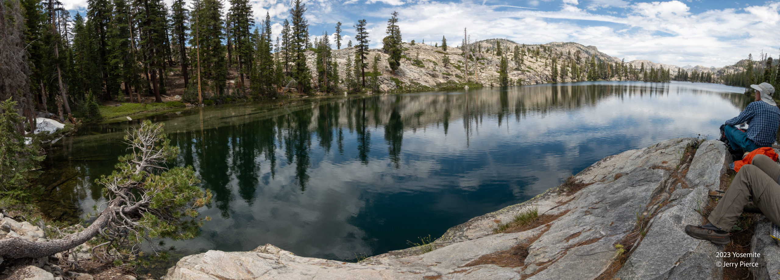
We passed by Miwok Lake for a quick snack.
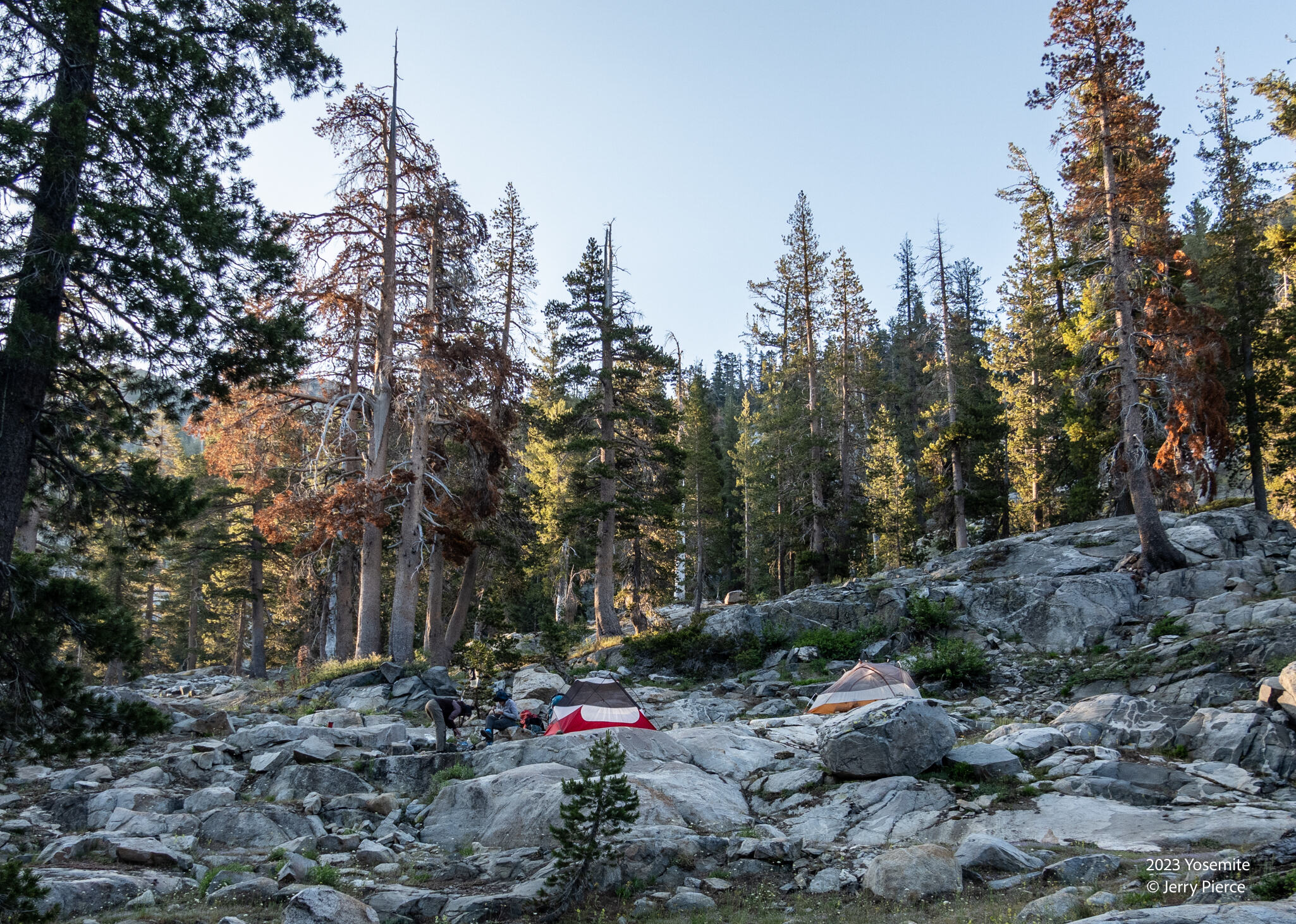
And our camp at Bearup lake. Our first (of many) great sites for camping.
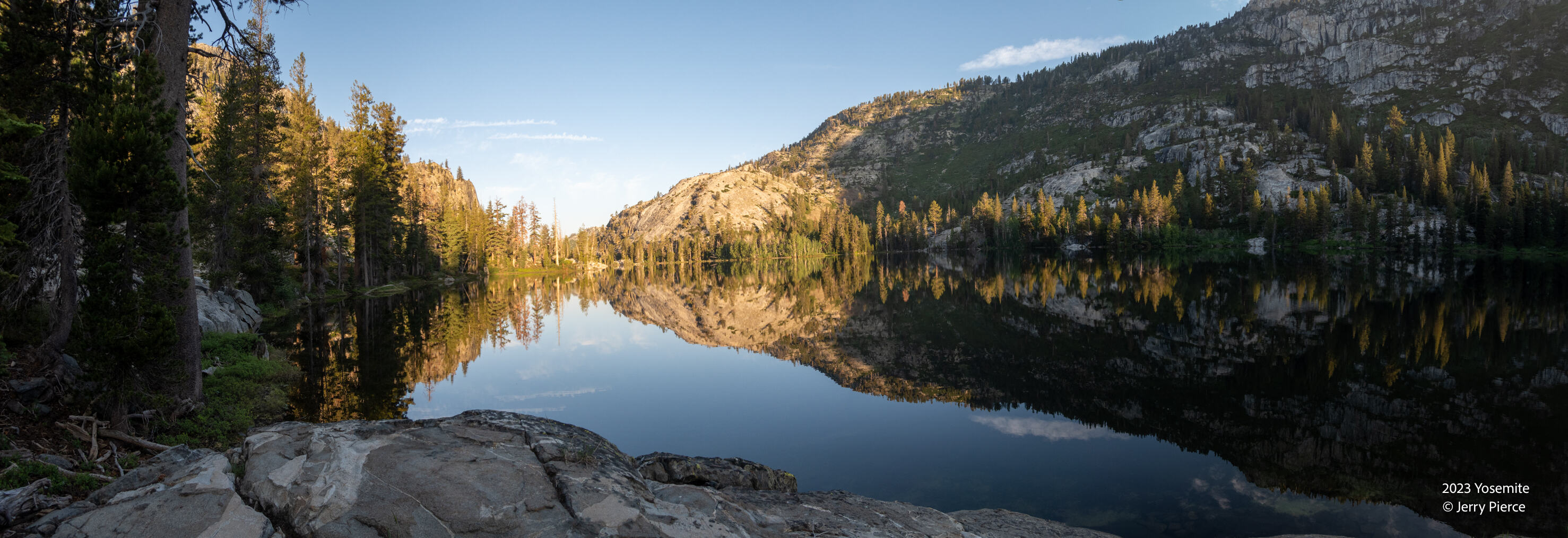
Bearup lake was not a bad place to be. Minimal mosquitoes. Some of us took a dip in the lake – others (me) found the water too cold.
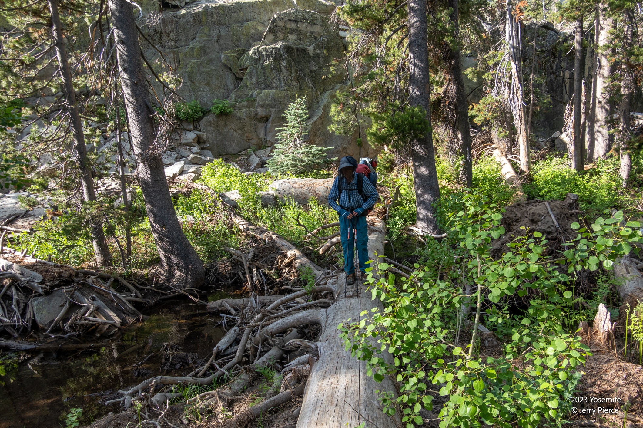
Day 3 we were headed of-trail up Frog Creek with an unknown destination – it might be Otter Lake, could be Peninsula Lakes – we would need to discover the terrain! NOW our mosquito nets came out – and we needed them!
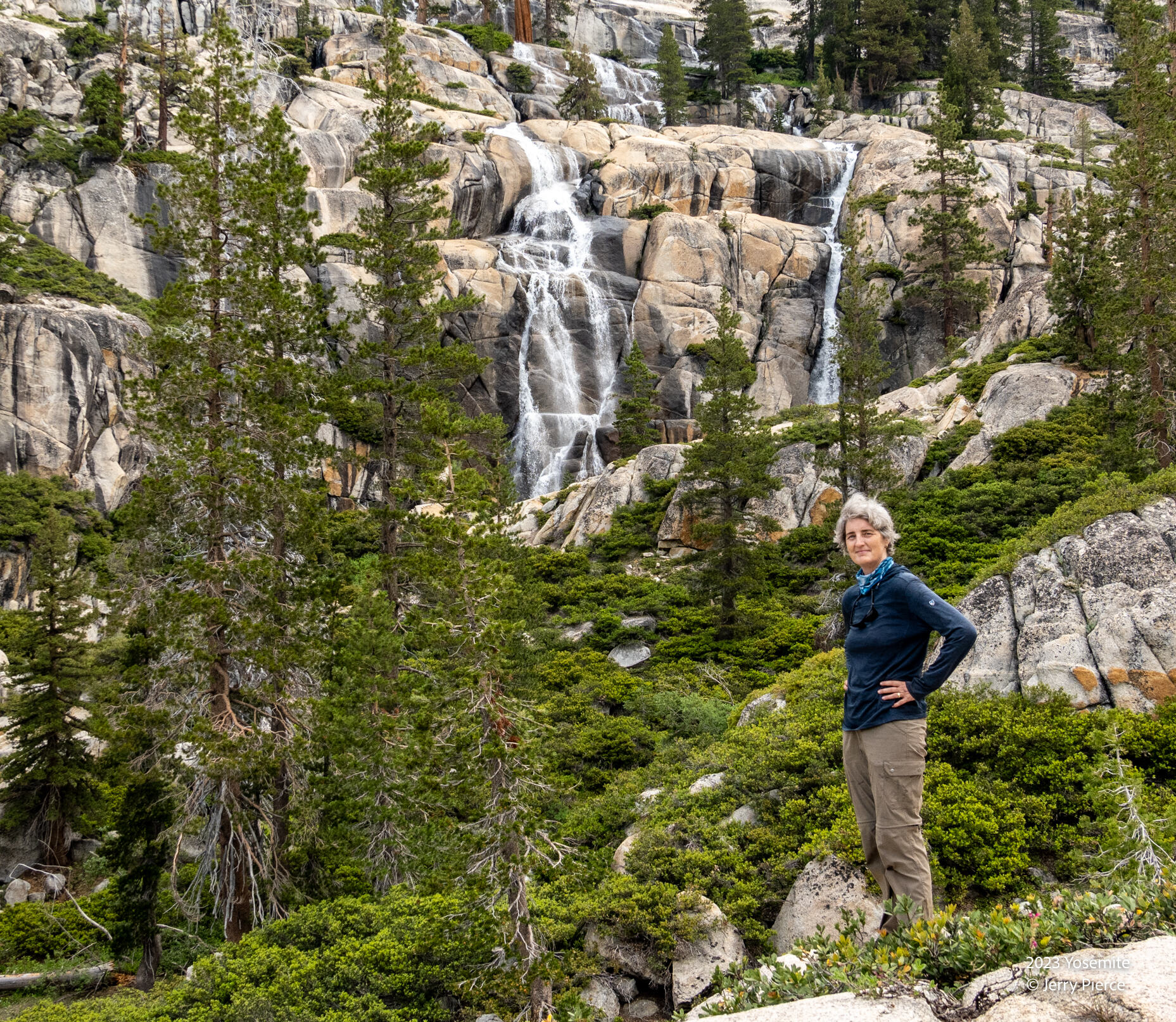
We encountered MANY waterfalls. The snow is MELTING!
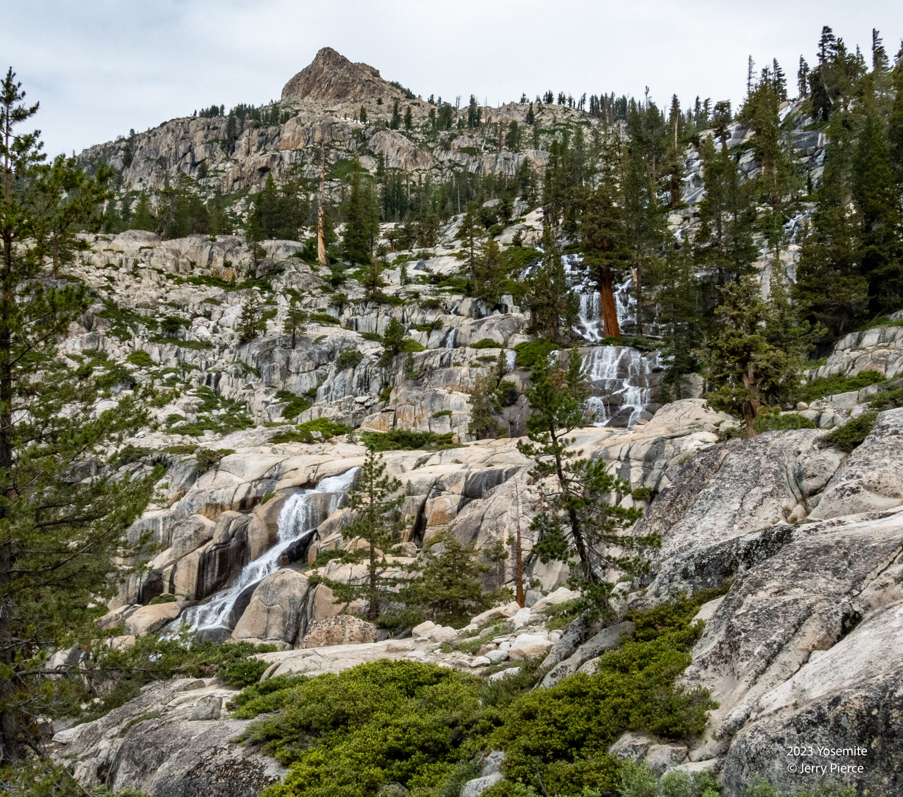
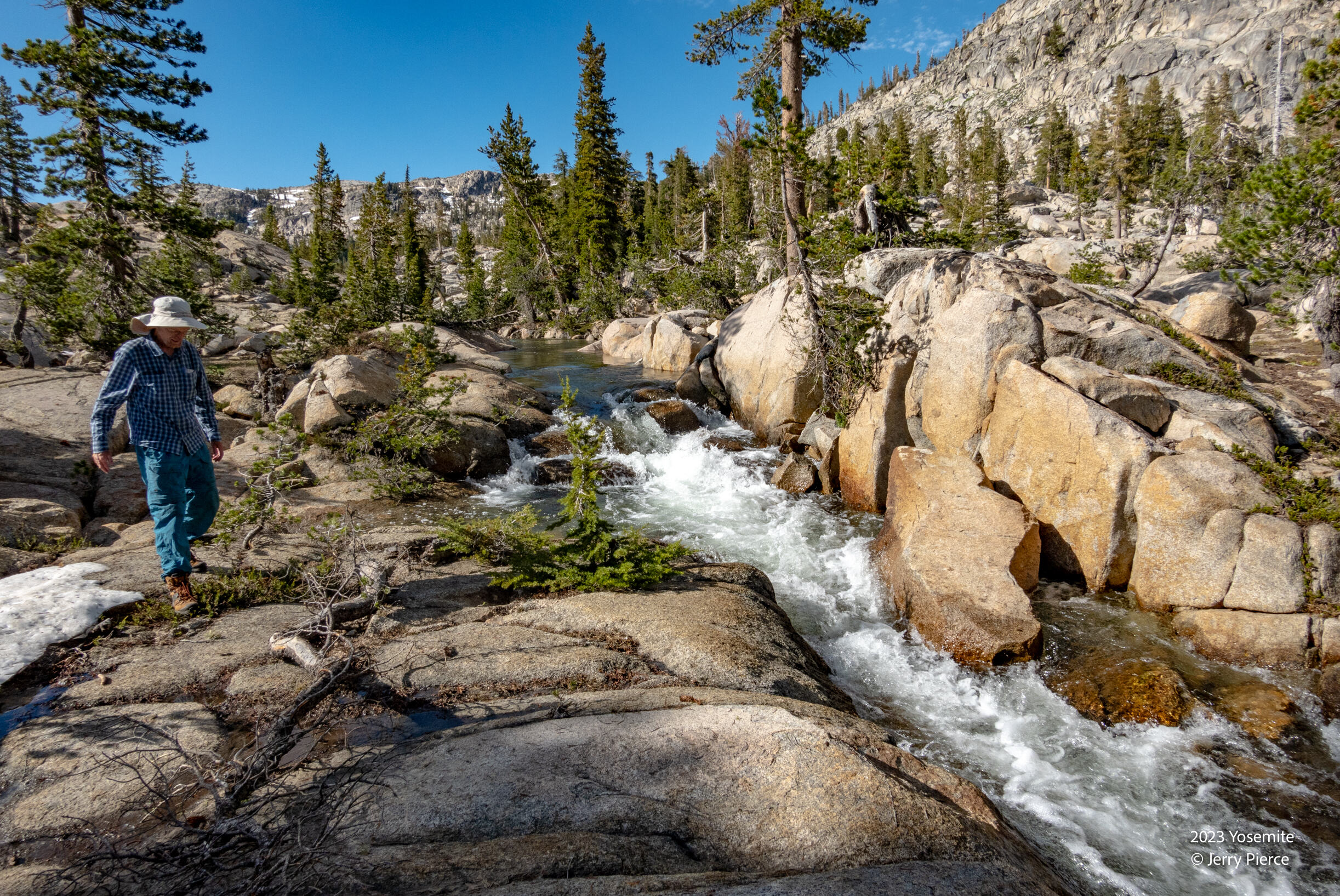
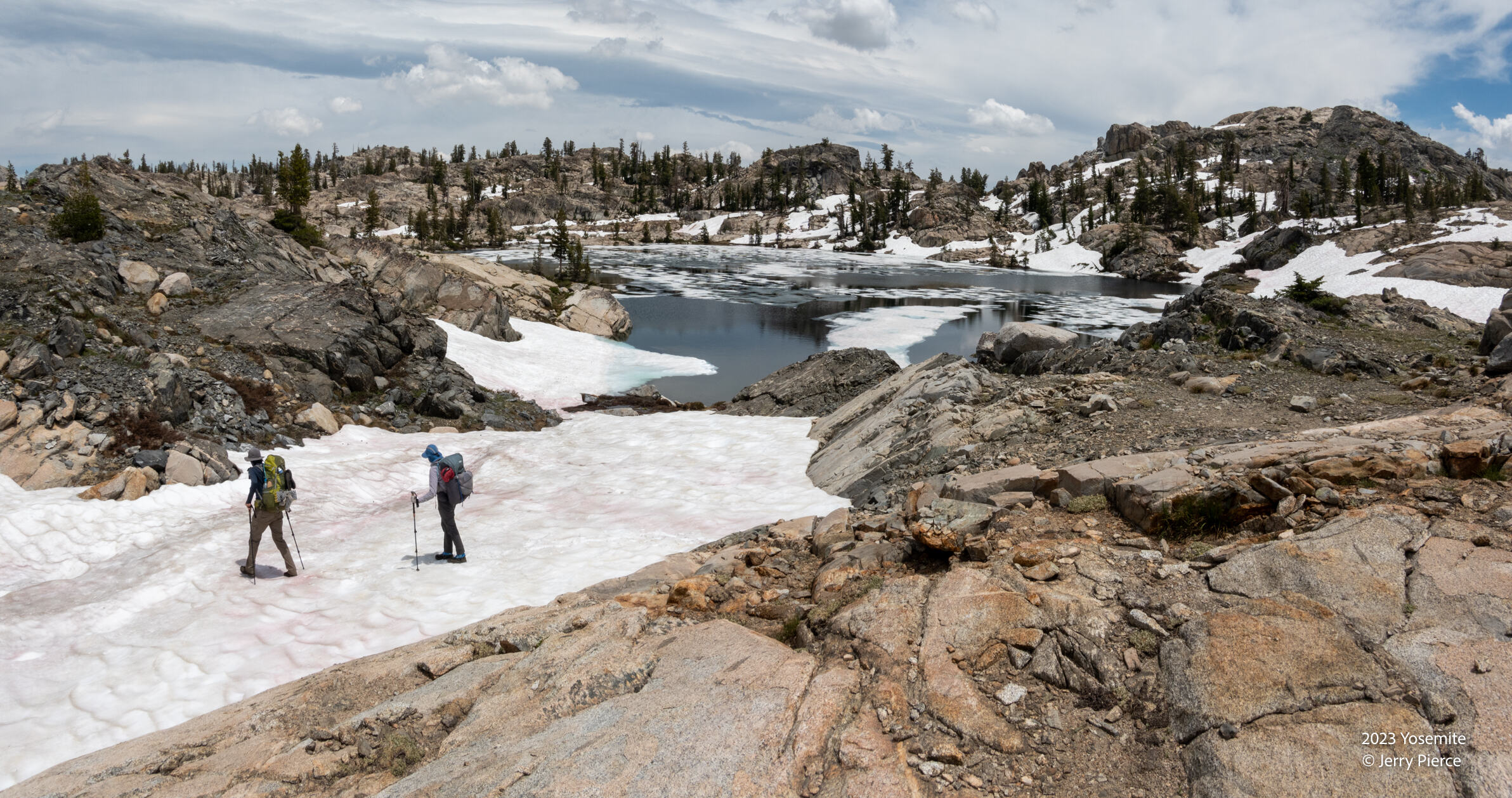
We decided that it was best to head to Otter Lake and skip Peninsula lake. We began to discover that even at 9000′ upper Otter lake had ice and snow.
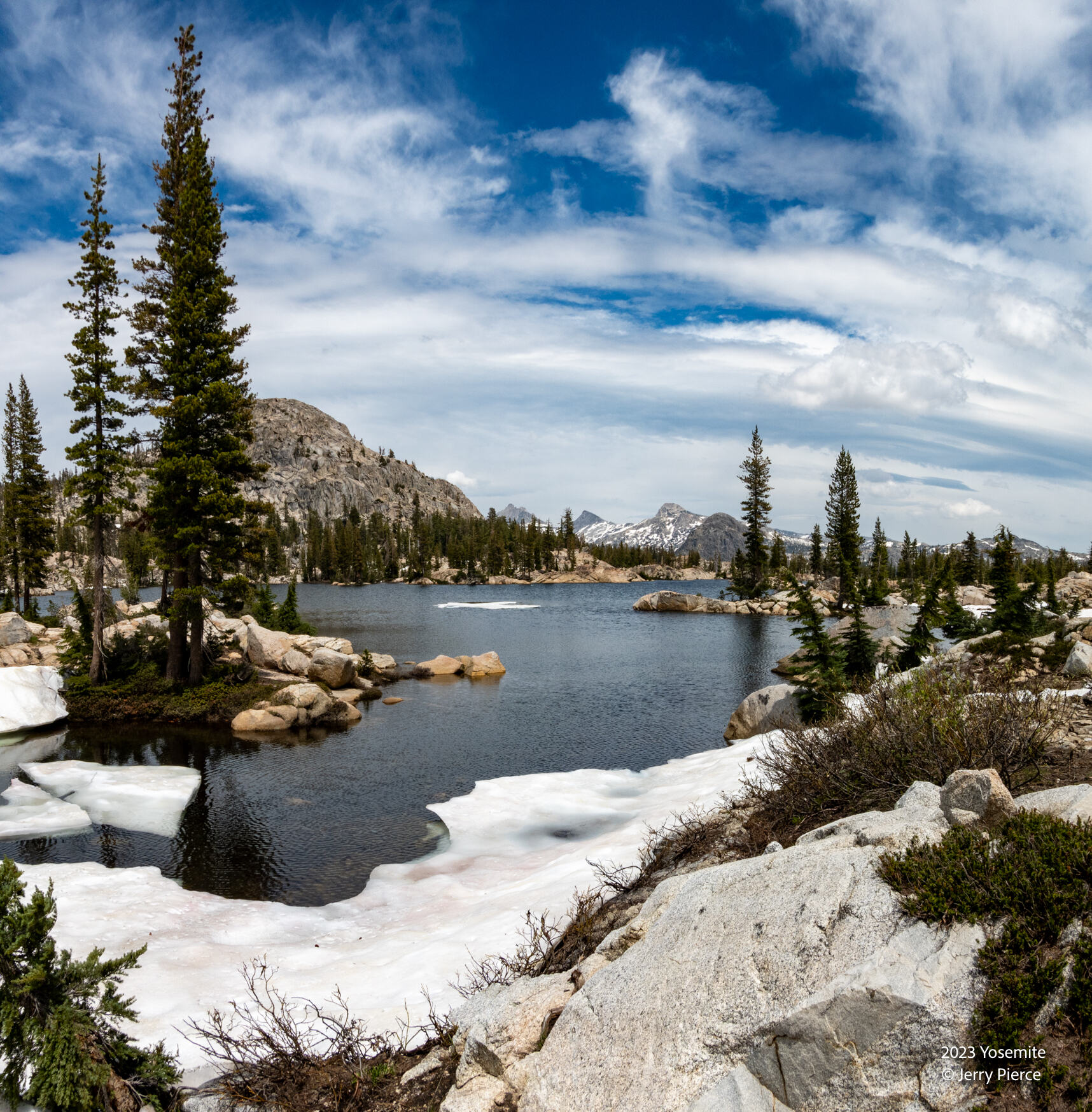
We arrive at Otter Lake – it’s a little lower than upper Otter, but still snow!
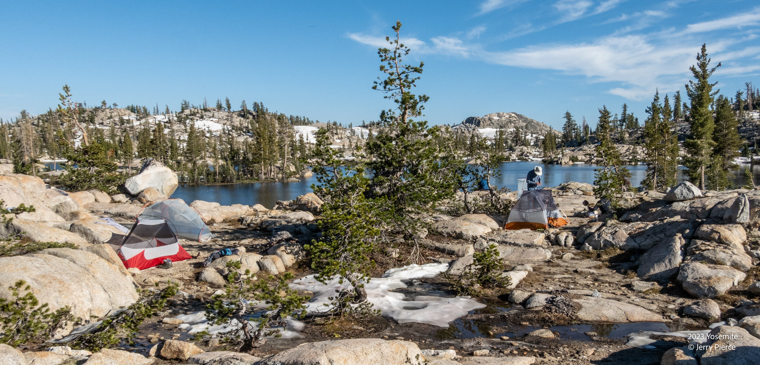
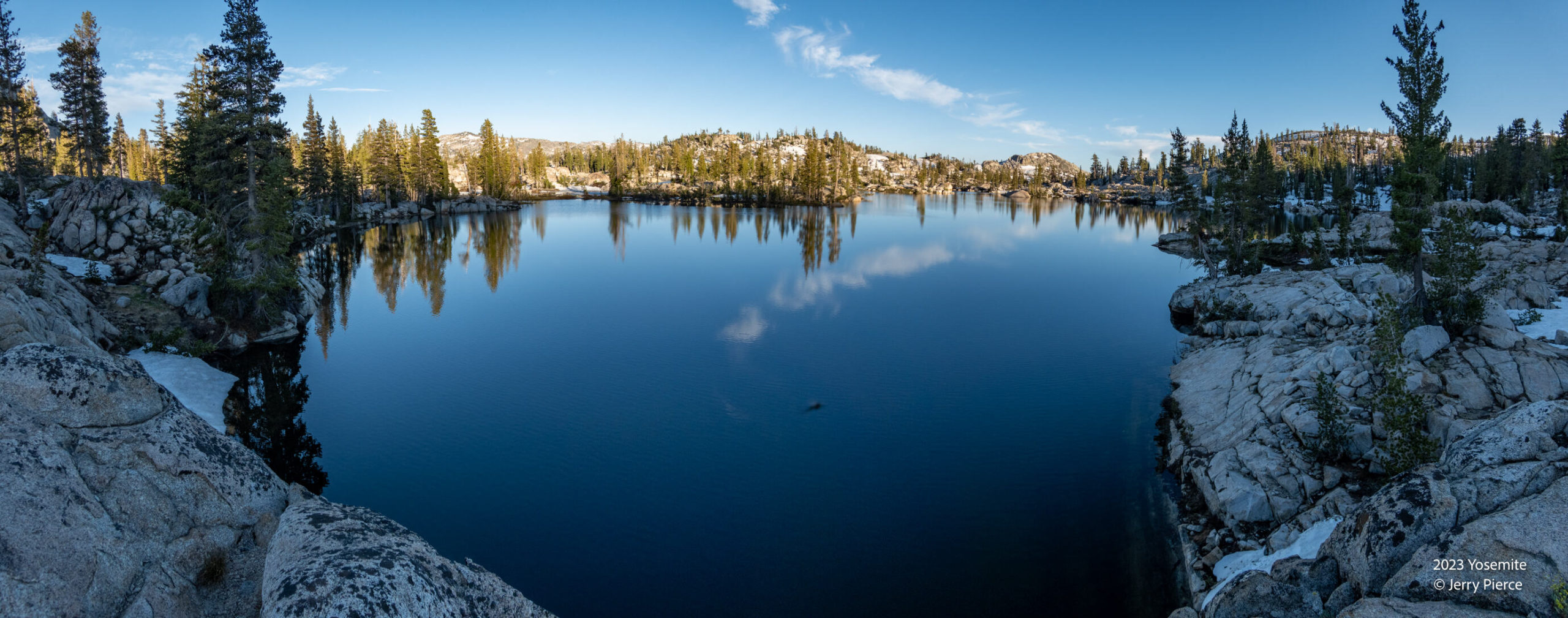
Again another delightful campsite next to Otter Lake! We decide to spend two nights here and take a day hike to Haystack Peak
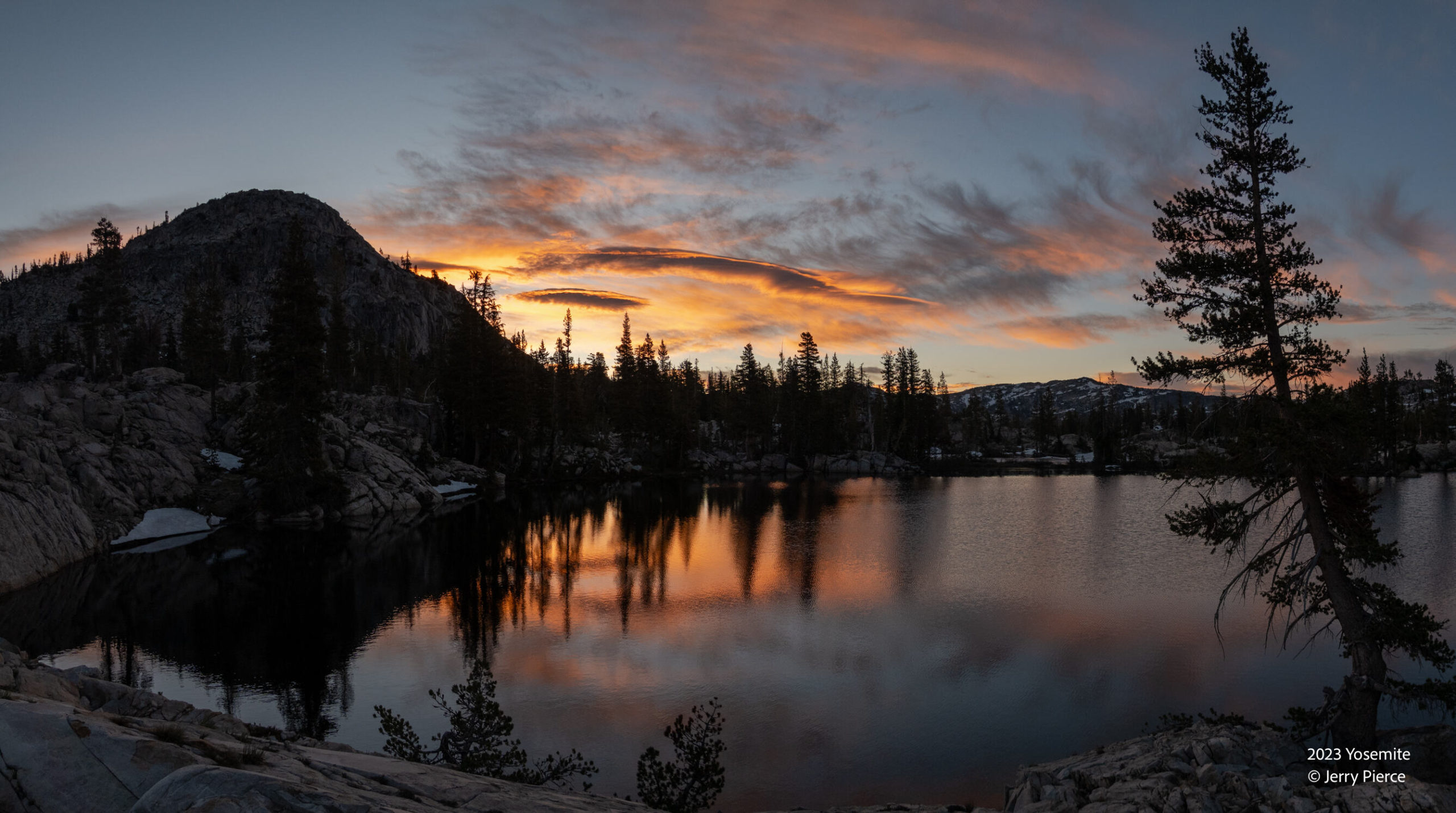
Otter lake at Sunset
Otter lake at Sunrise.
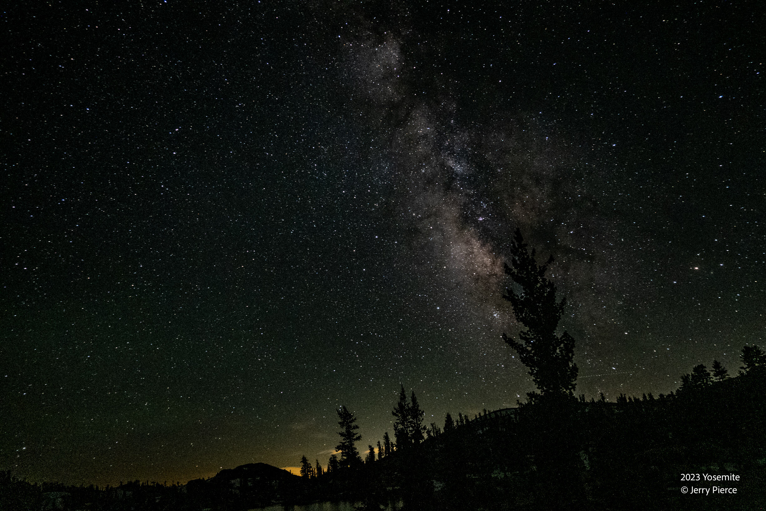
Otter lake at midnight – Not sure what the light pollution is on the horizon. This is aiming south.
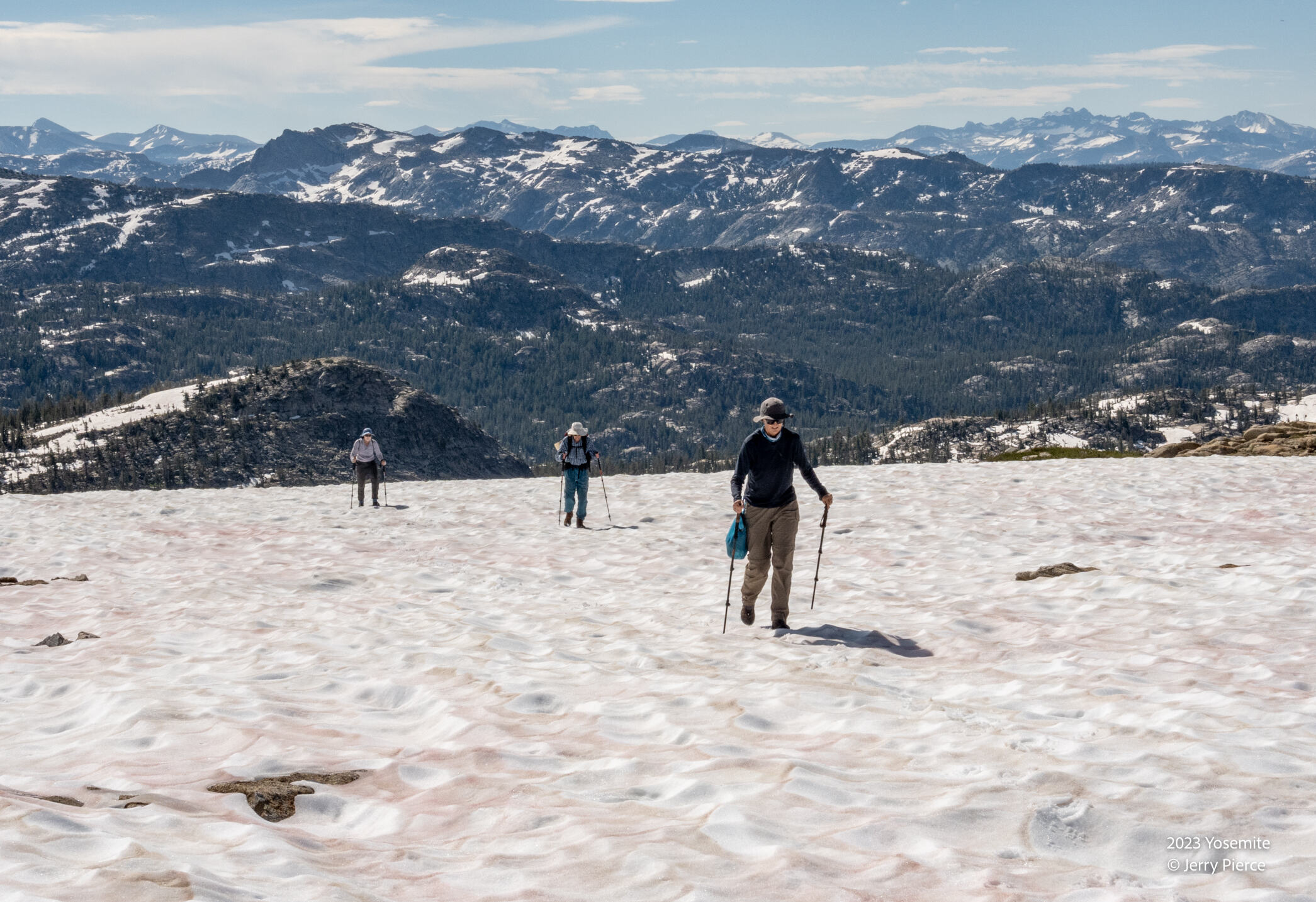
On Day 4 we head over to Haystack Peak for a day hike. Alex has a side-saddle. The snow had not yet cupped but the “watermelon” snow was showing!
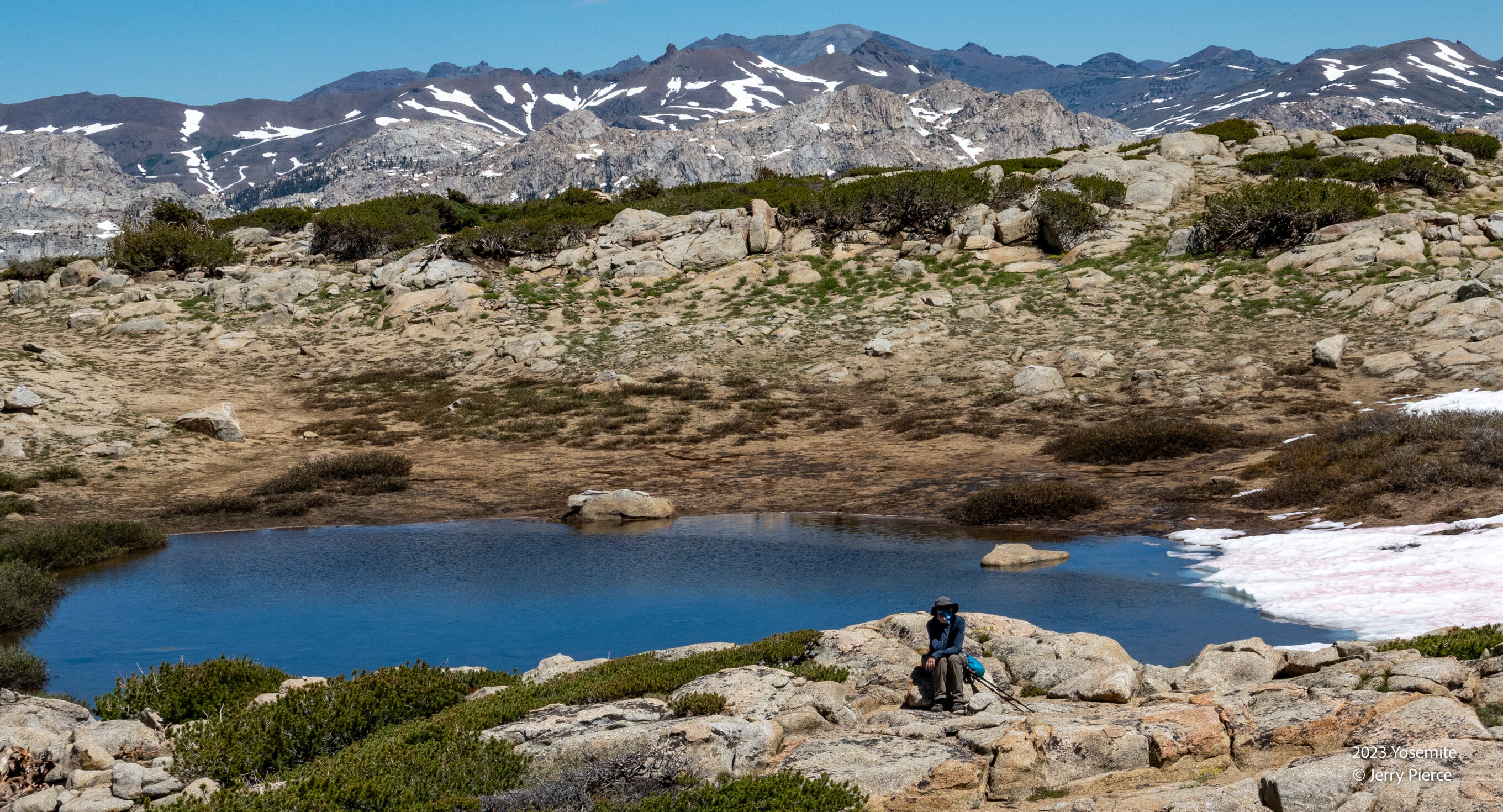
A tarn along the ridge.
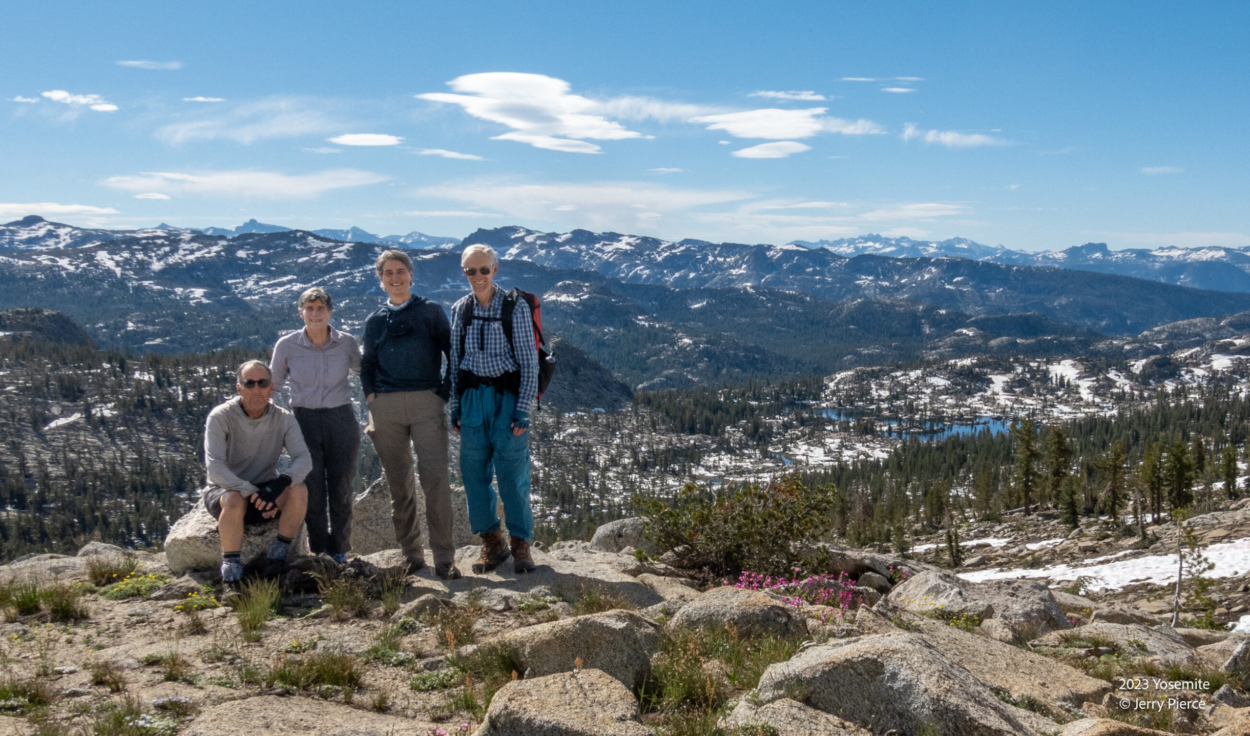
We get Otter lake and the incredible views from the approach to Haystack
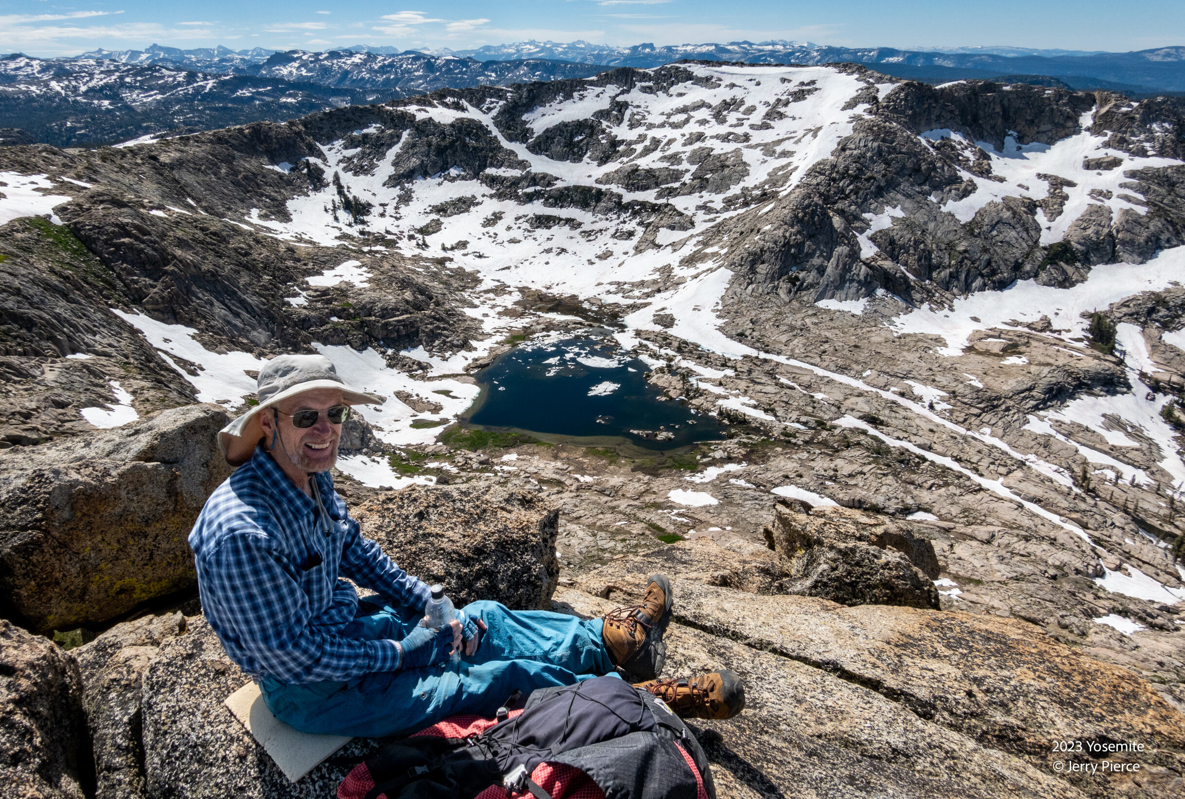
Lunch at the top!
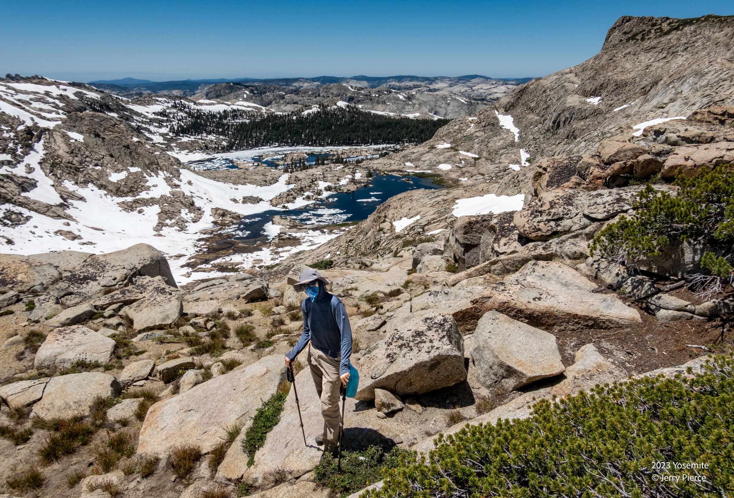
Looking down Peninsula lakes with Haystack peak on the right.
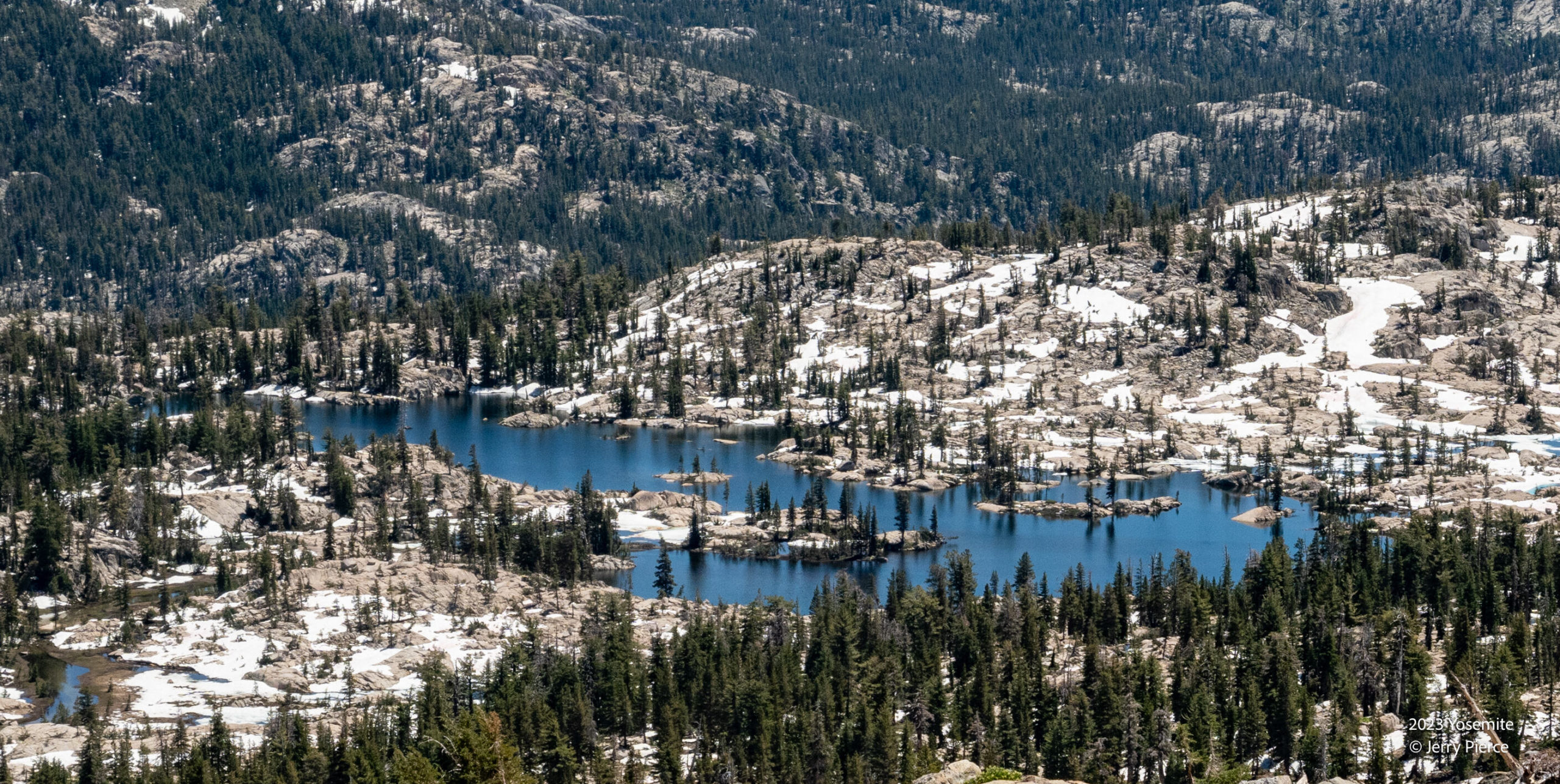
Another view of Otter lake on our descent from the peak
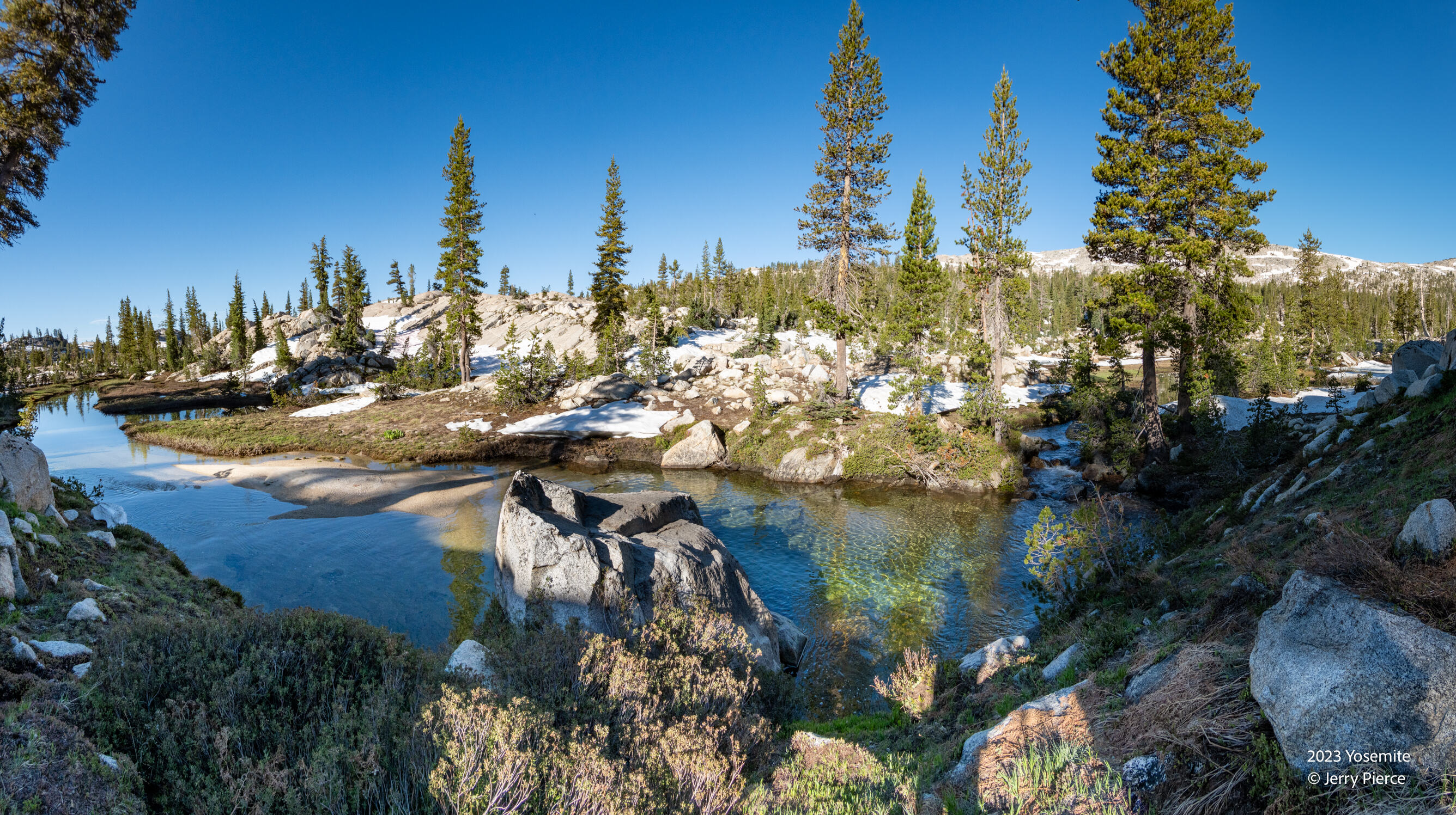
So much water! As we leave Otter lake
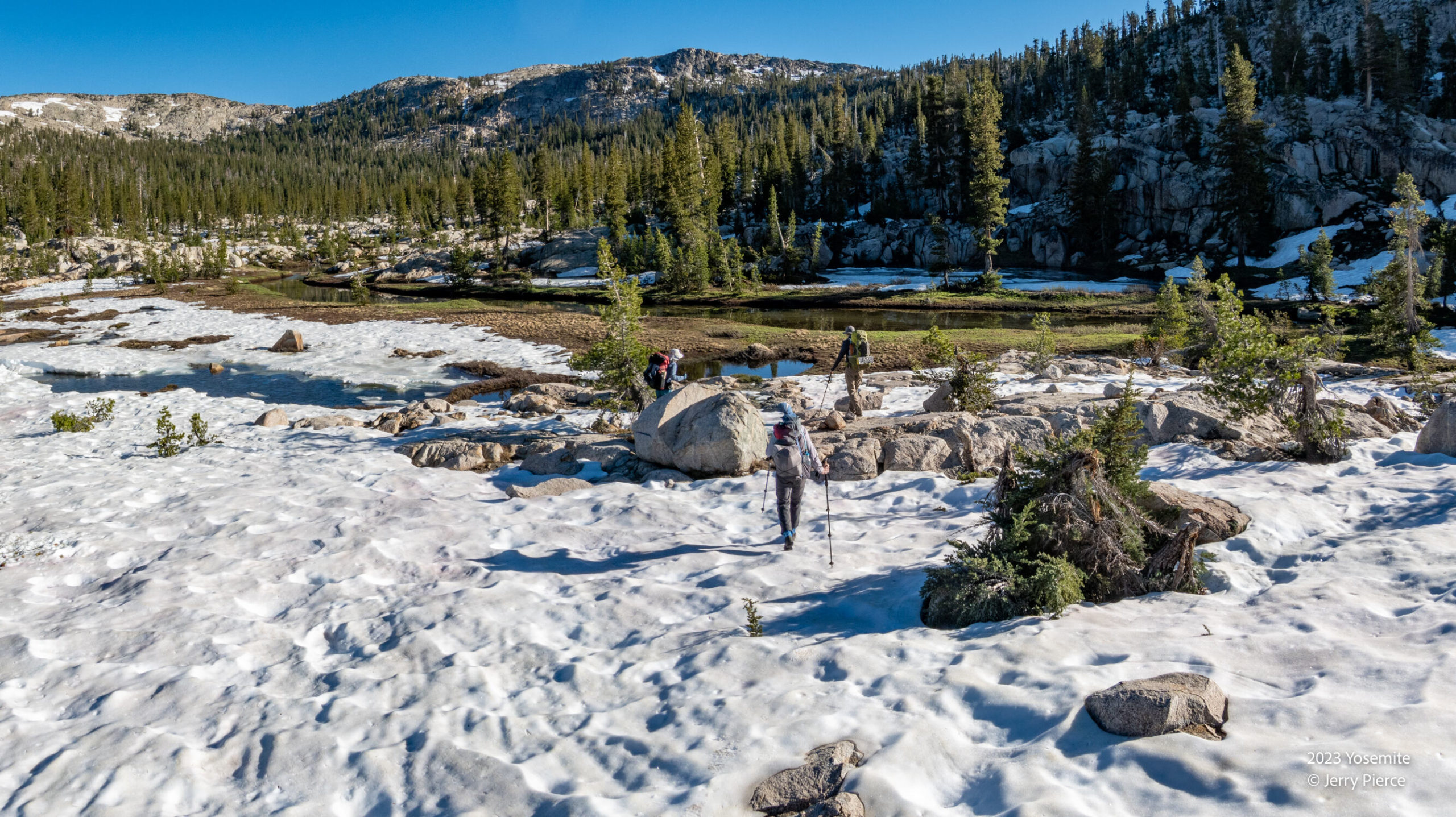
Day 5 departure from Otter lake. We are at about 9,000′ headed down a valley and back up to Tilden lake – at about 9,000′ Where is the zip line when you need it?
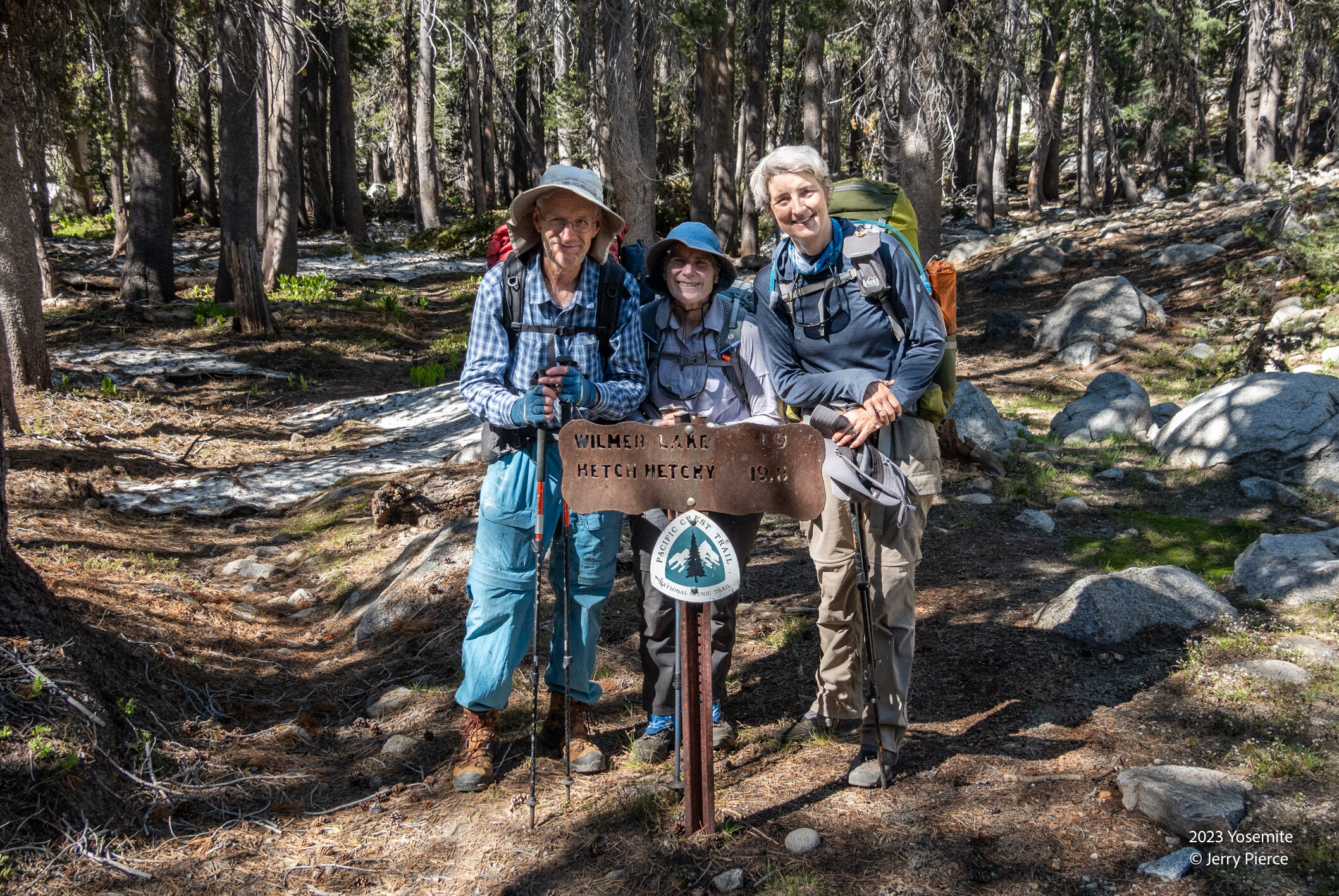
We cross the PCT on the way to Tilden
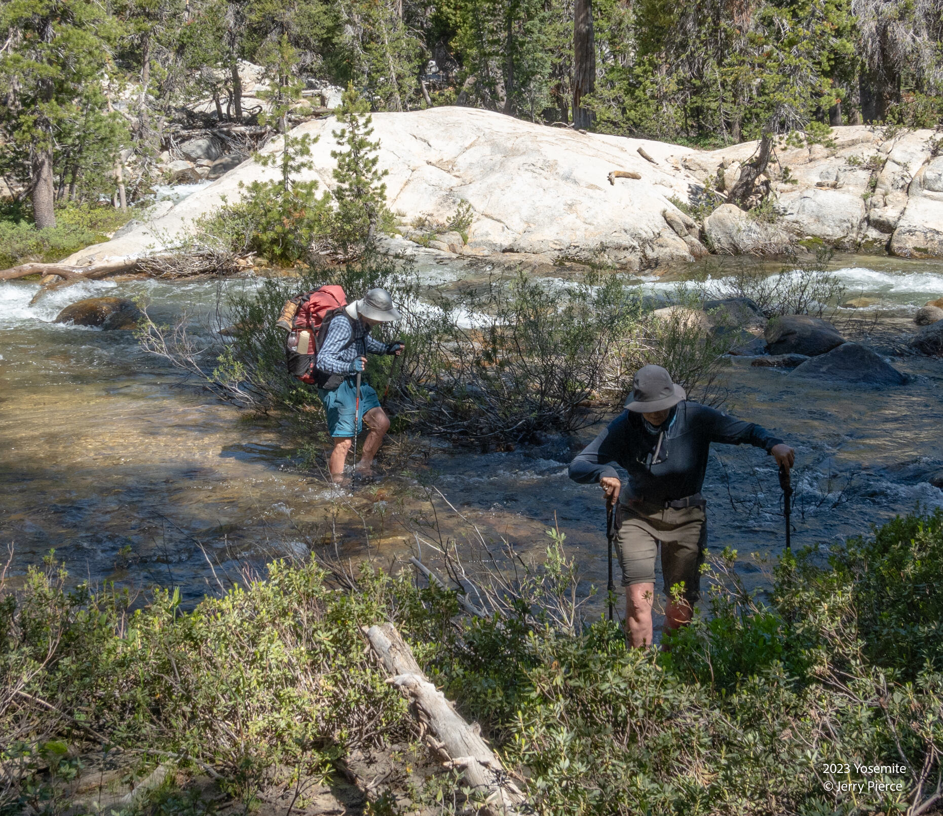
One of our (many) concerns was crossing Falls Creek – the same supply that feeds Wapama falls. Could we cross? Well yes, shoes off and a pretty strong current here. Knee high water, but we all made it without a hitch.
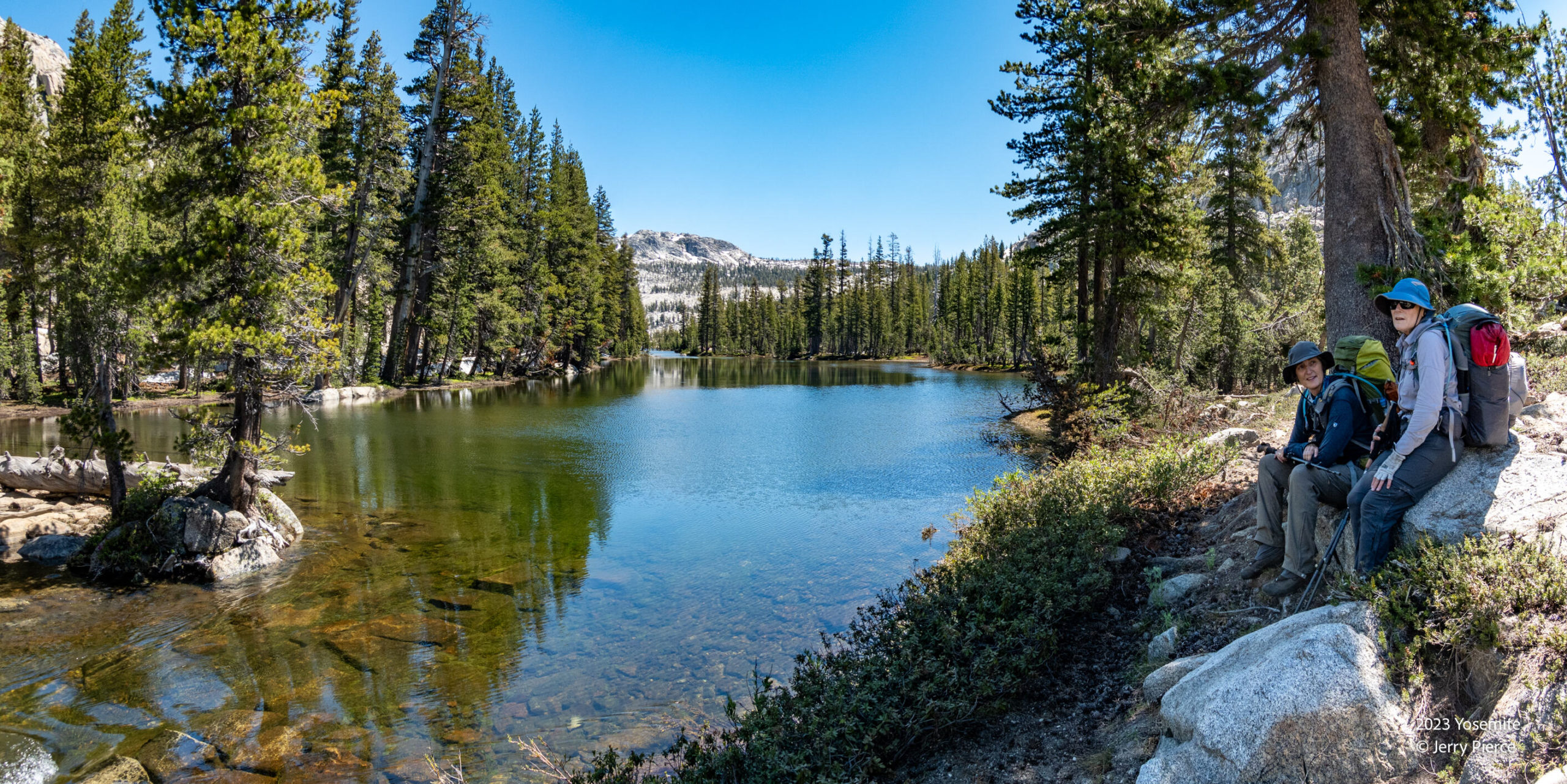
And an early arrival at Tilden Lake. Yet another delightful campsite. Scott takes a day hike to go to the top of Chittenden Peak – a class 2+ hike. Something I don’t do…
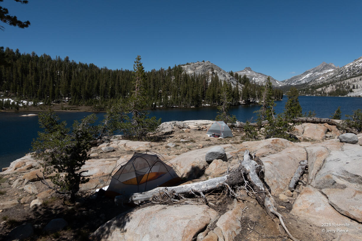
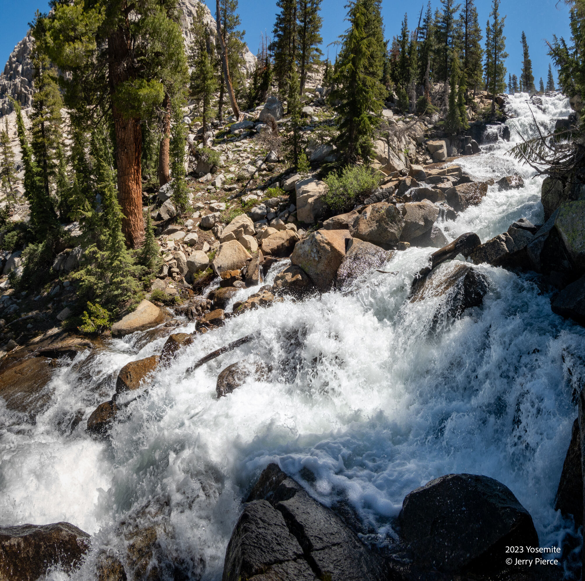
Did we mention there was LOTS of water here?
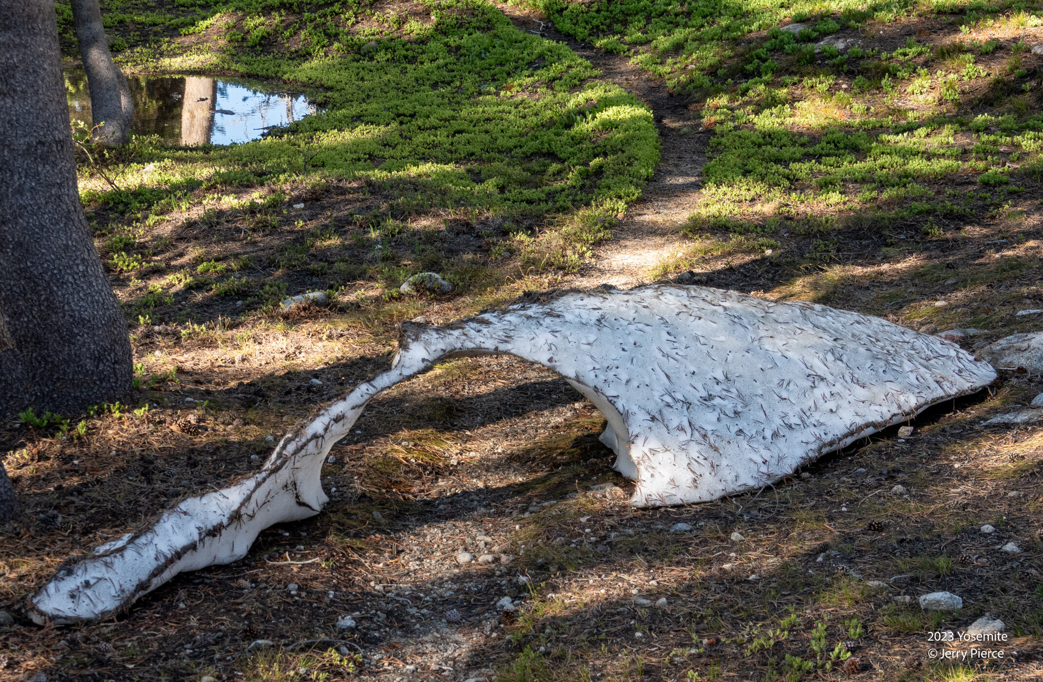
The trail was sometimes covered in snow (up to 10′ high) and other times the trail was a snow-bridge.
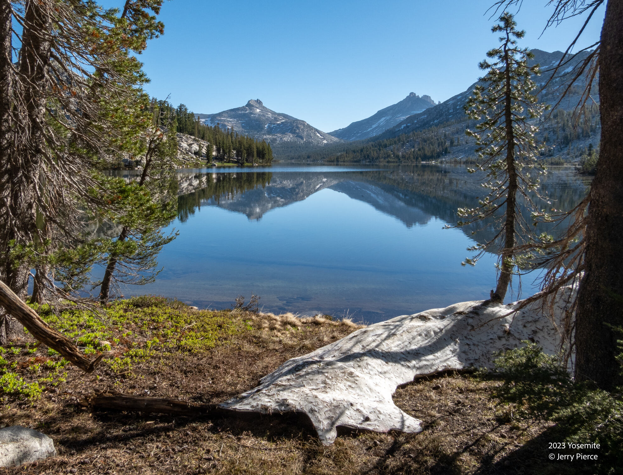
A final view of Tilden lake as we head out for day 6
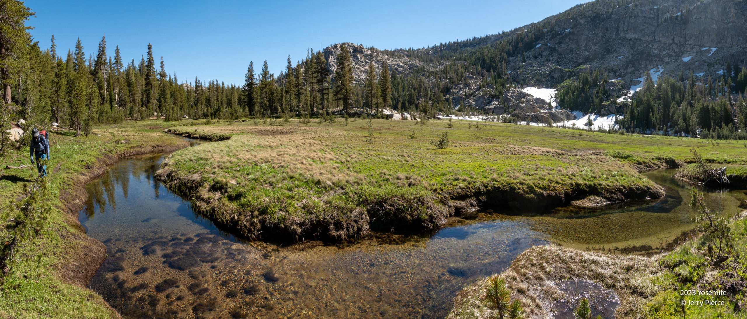
The valley had lots to see
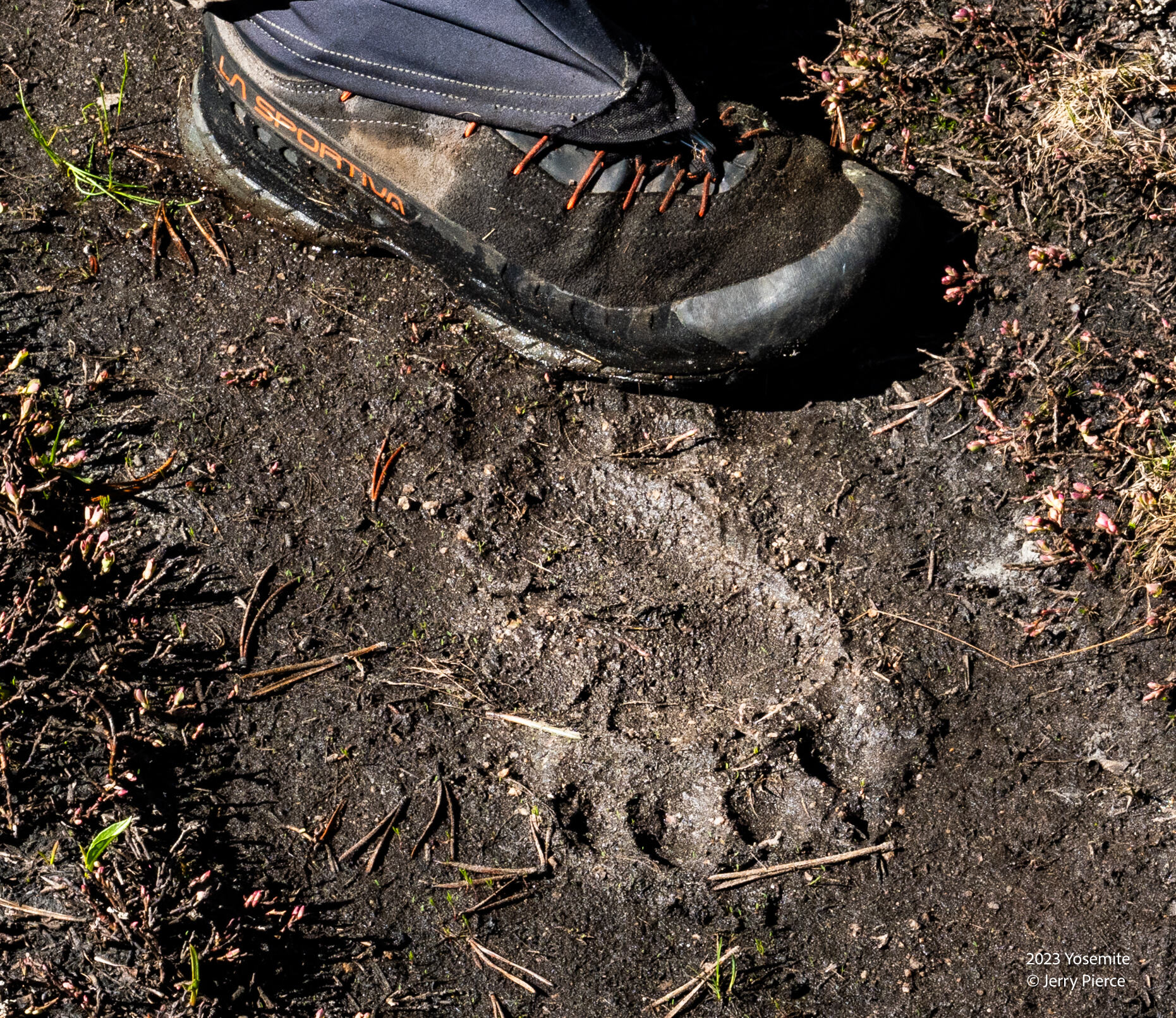
We think this was a real Bear Foot mark. Yes, we did see a bear from a distance later in the trip.
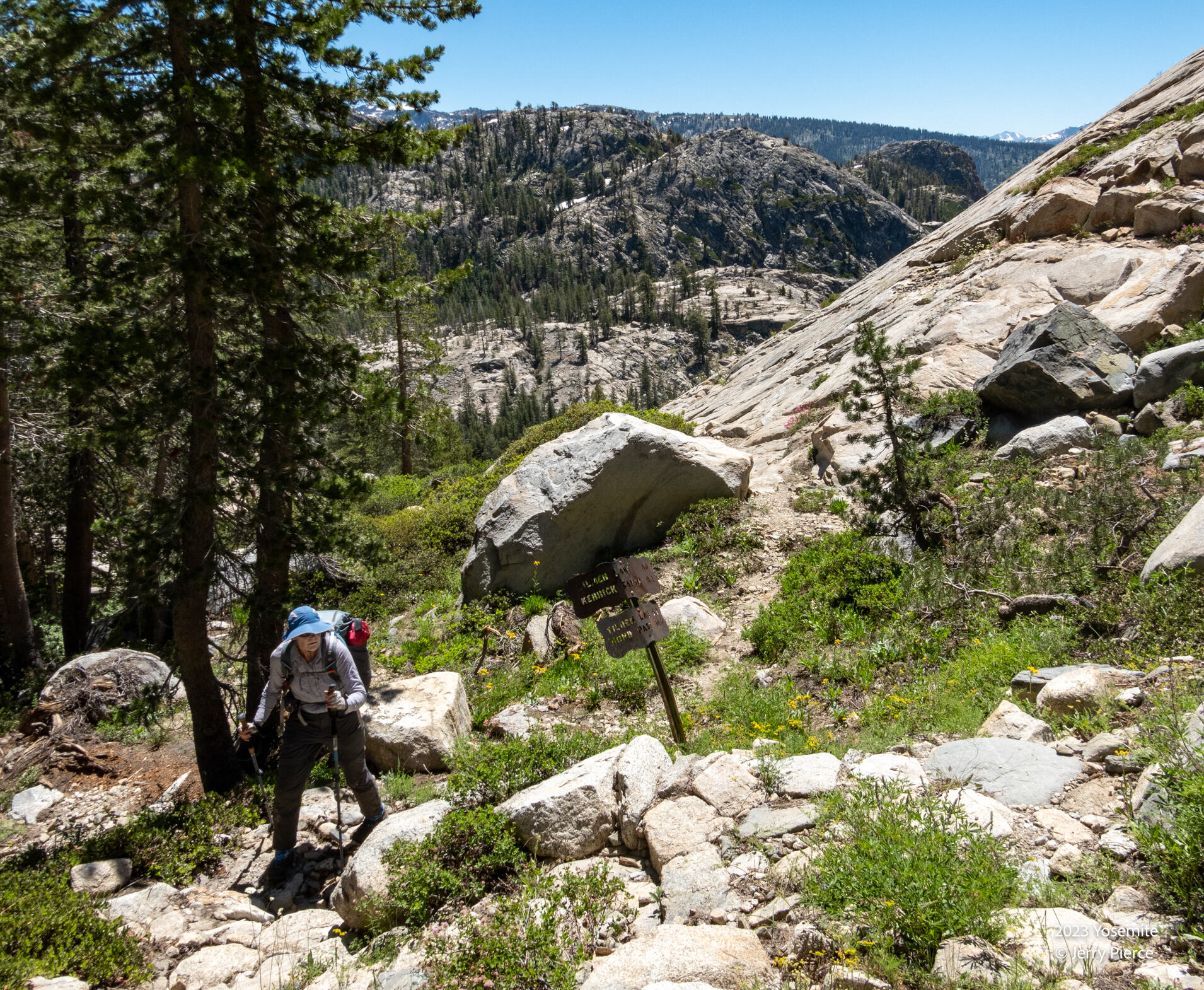
A moderate trail. It’s early season so way-finding was a challenge along the path.
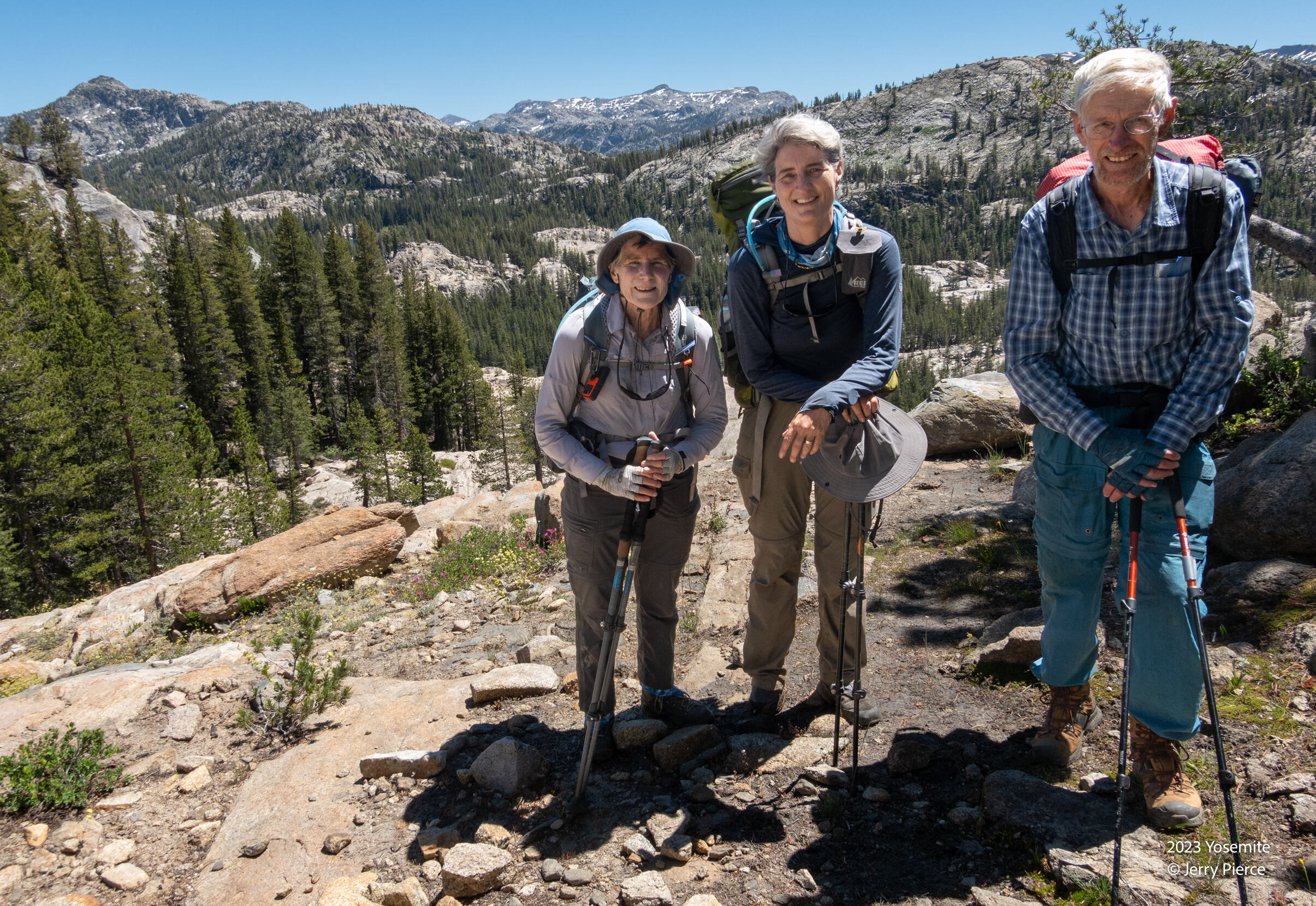
We headed to Tiltill peak – well hill.
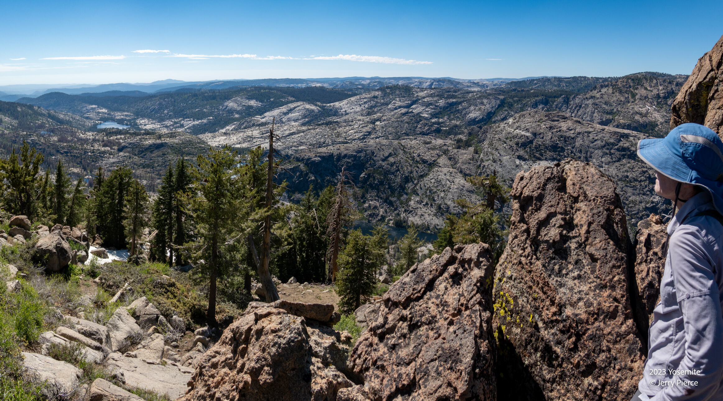
We set up camp – not a five star camp – at the base of Tiltill then hiked to the top. Pretty views!
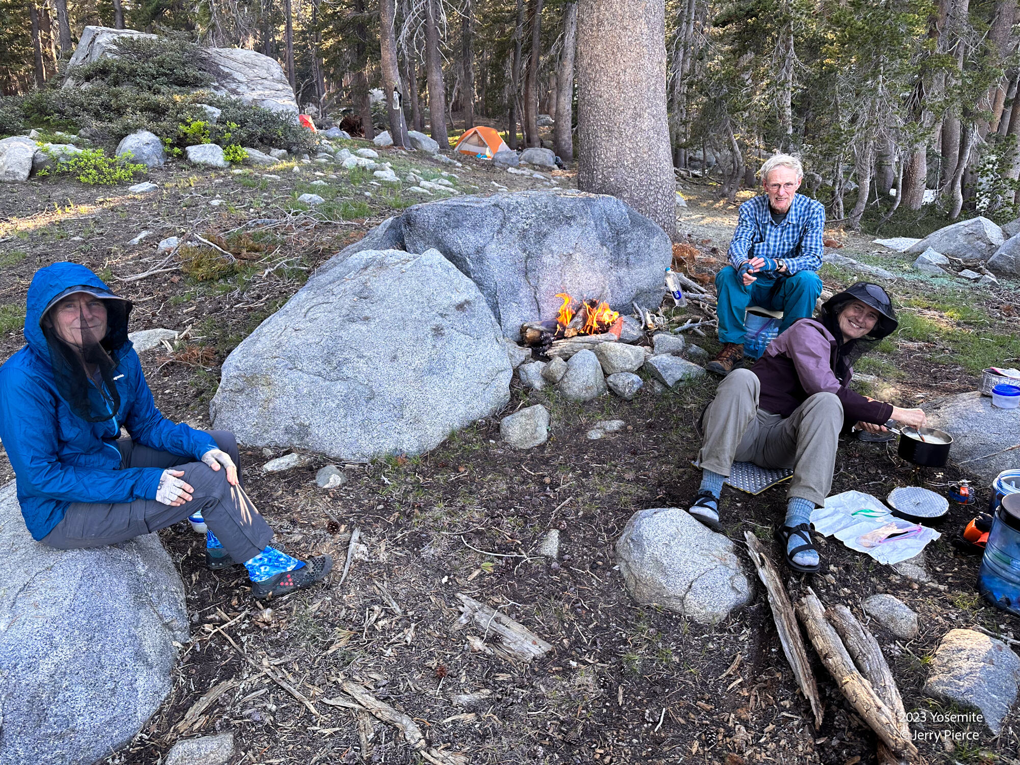
We had our first (and only) campfire. We thought the smoke might help with the mosquitoes – not sure if it did, but it was fun having a fire.

And we headed out for our longest hiking day to begin our exit. We had options for exit – maybe getting out this 7th day or camping for one more night and getting an early Saturday departure.
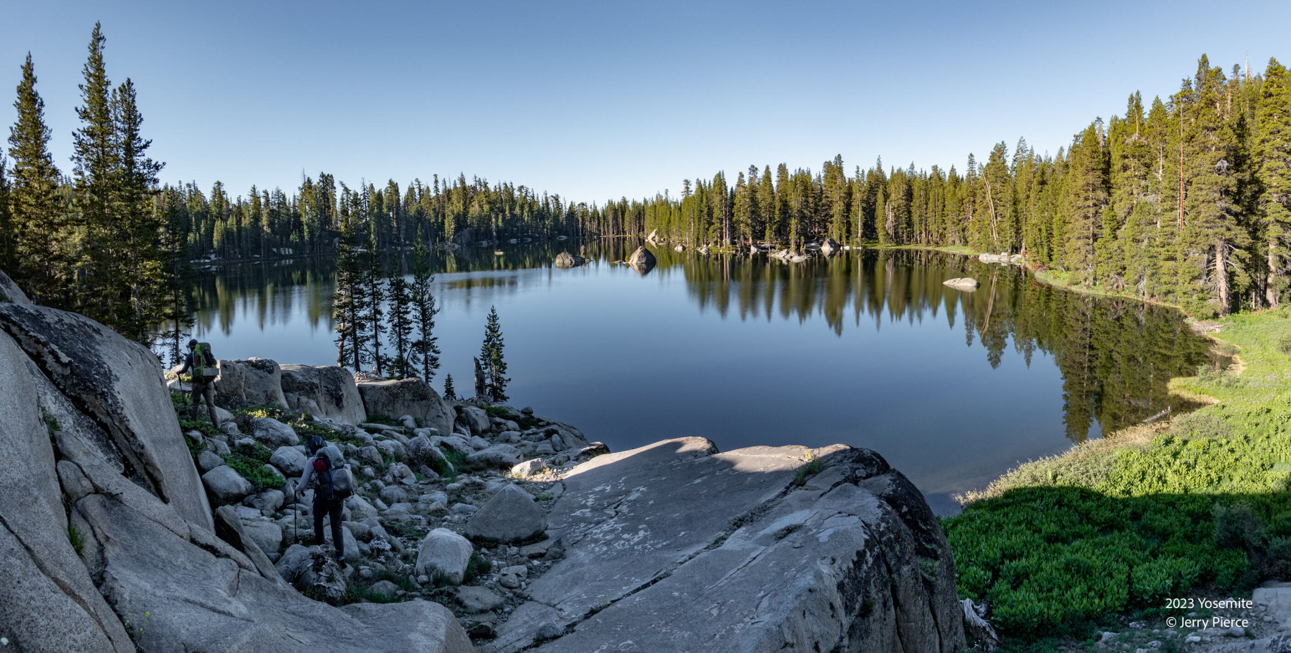
As we departed this below-Tiltill lake (not named) it was pretty, if you could see past the swarm of mosquitos.
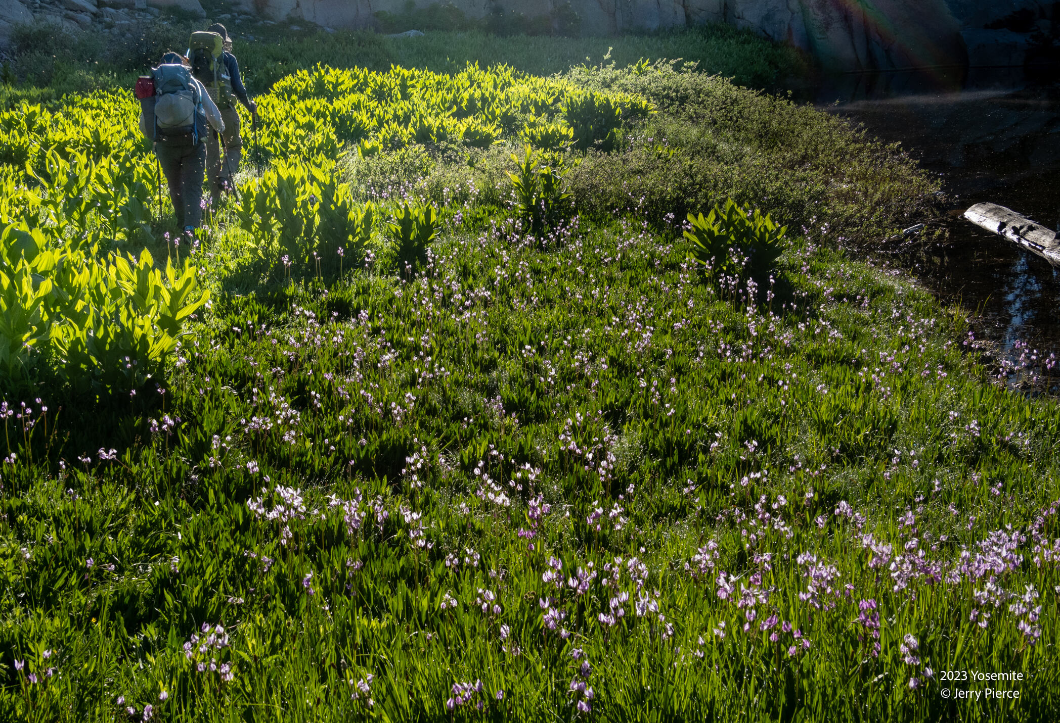
The wild flowers continue to be delightful!
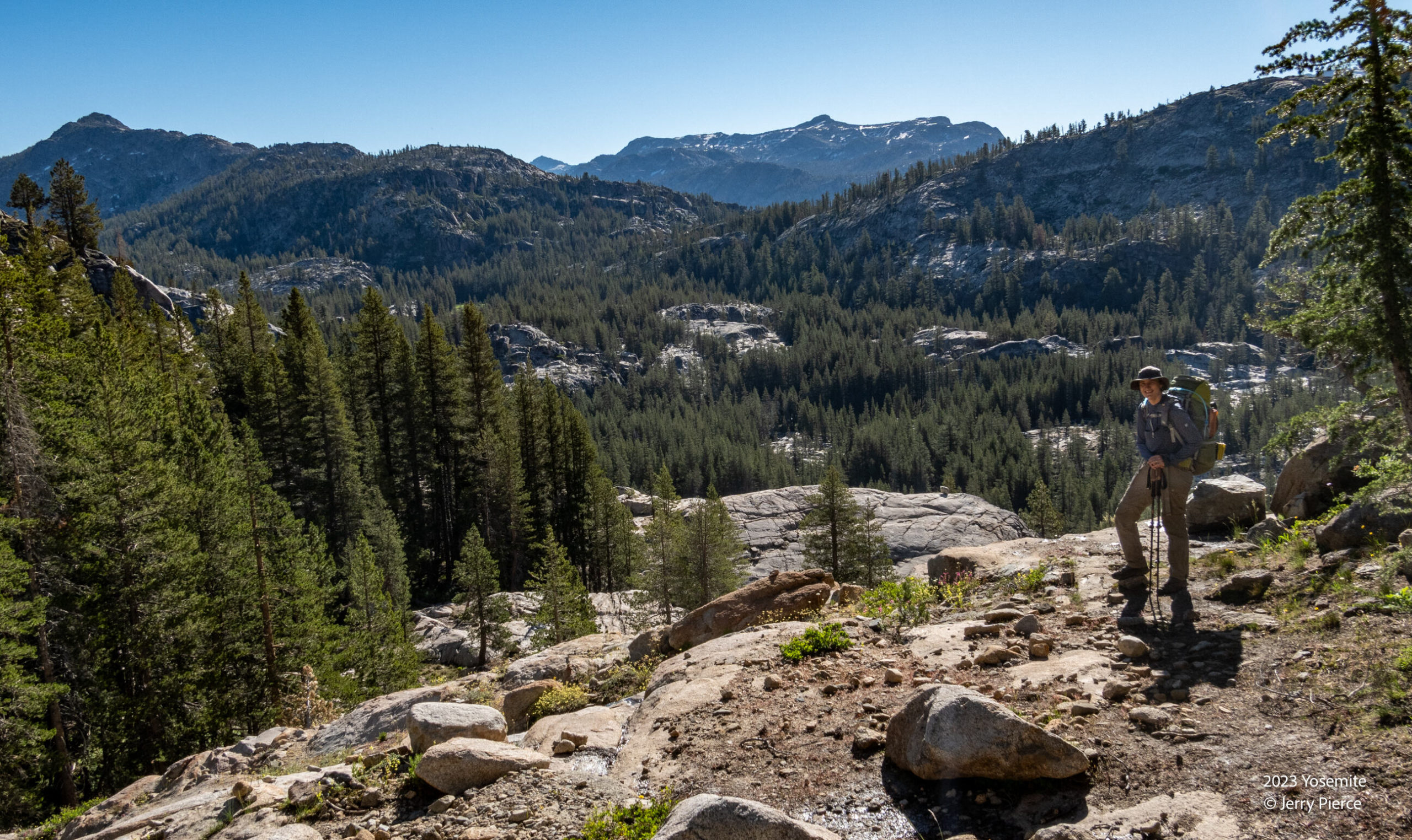
Heading out
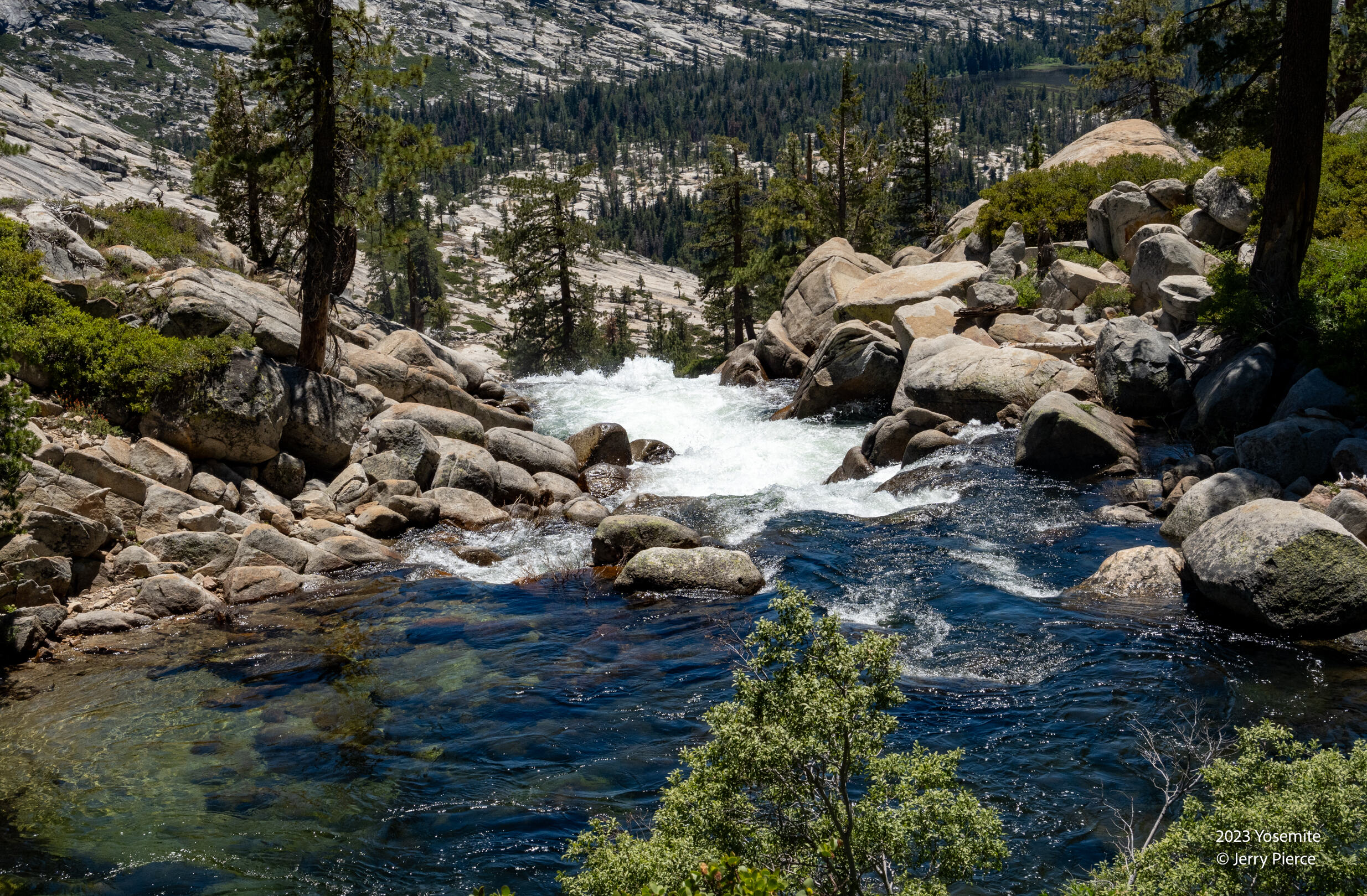
Looking down to Vernon Lake region
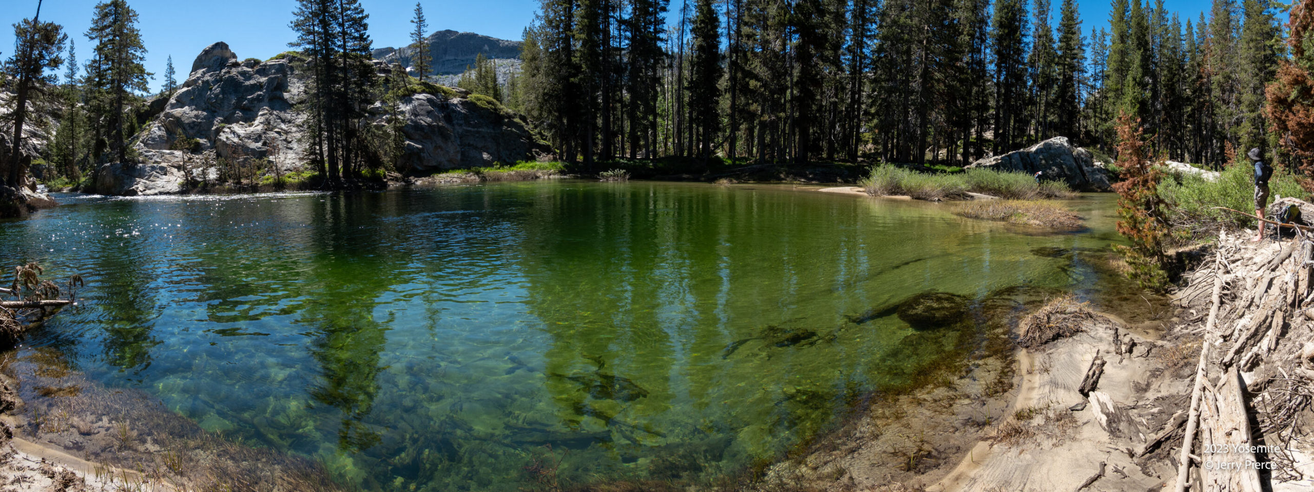
Once again we need to cross Falls Creek. This time it was deeper and slower flows (and the bottom was sandy). Easier to cross but water came up to our bellybuttons (at least for Pat).
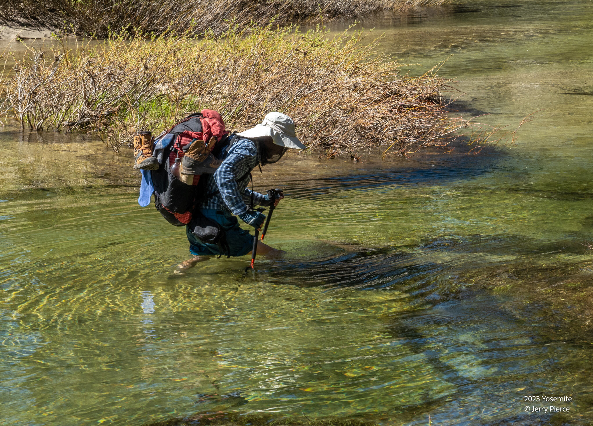
Scott making the crossing. Yes, he does have full legs! 🙂
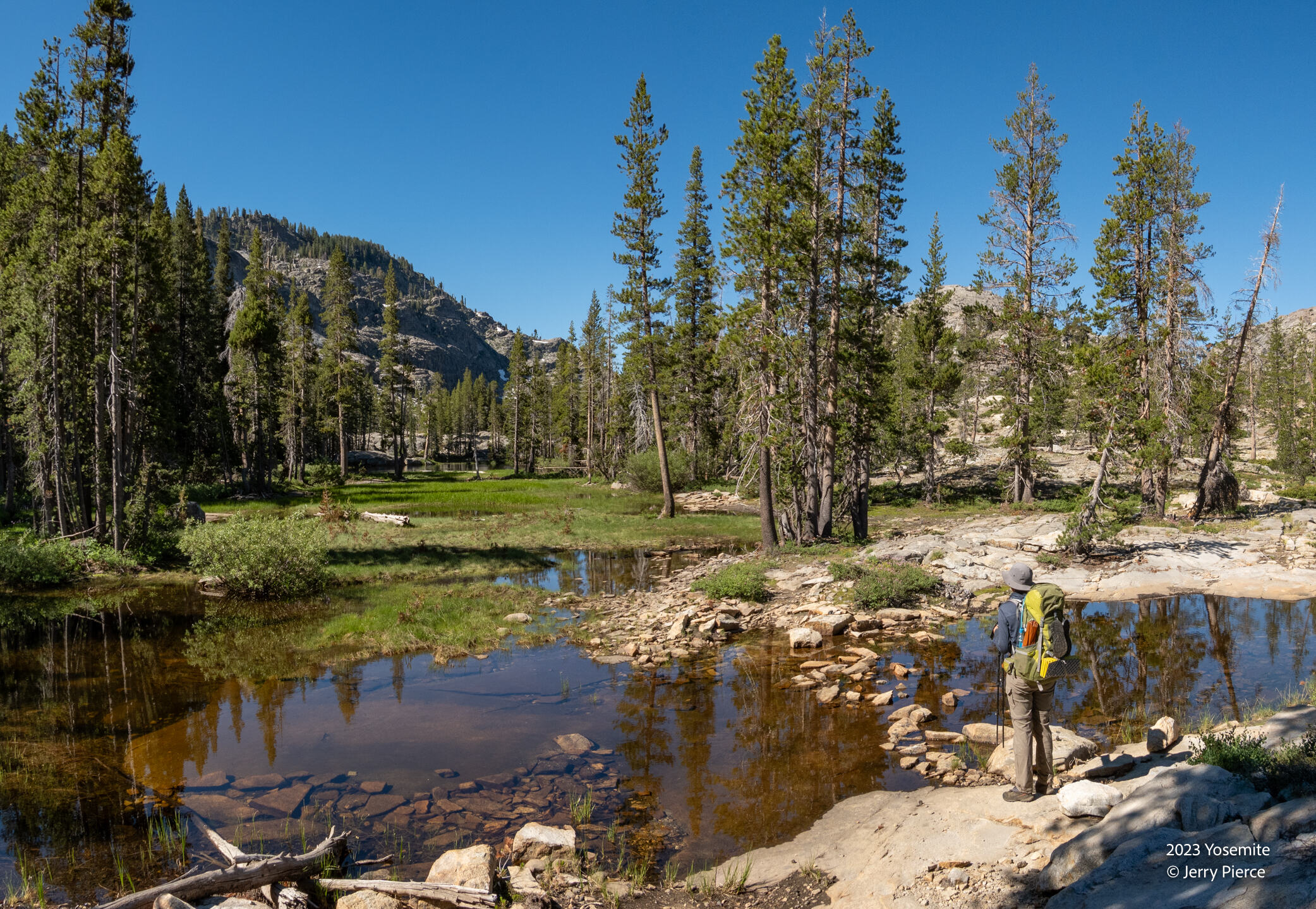
Just another pretty pond
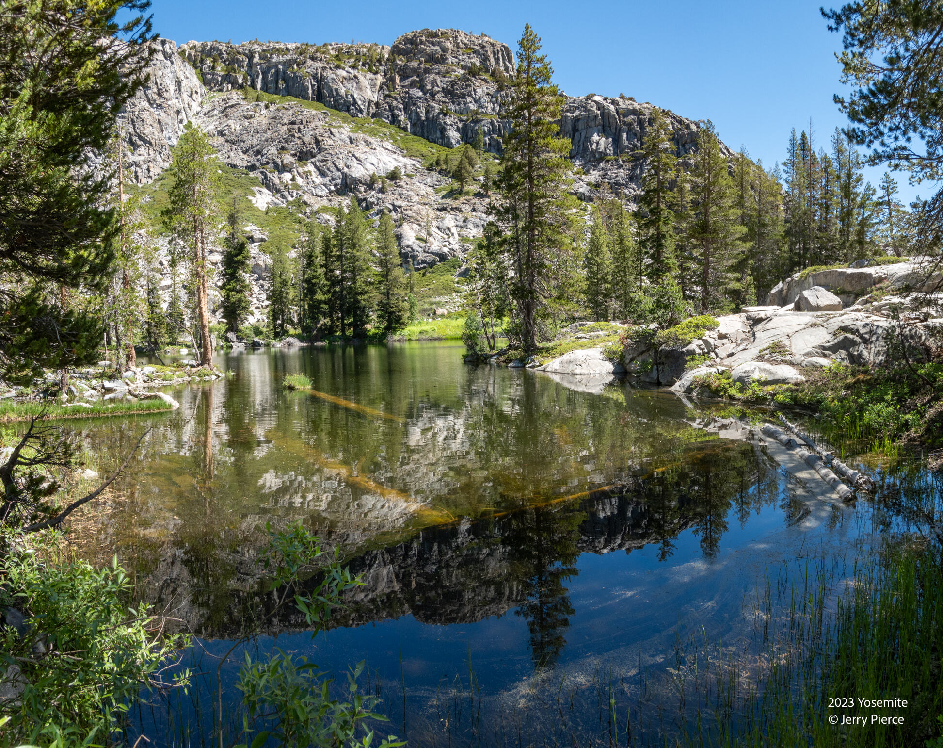
Is it a lake or a wide stream? Falls Creek.
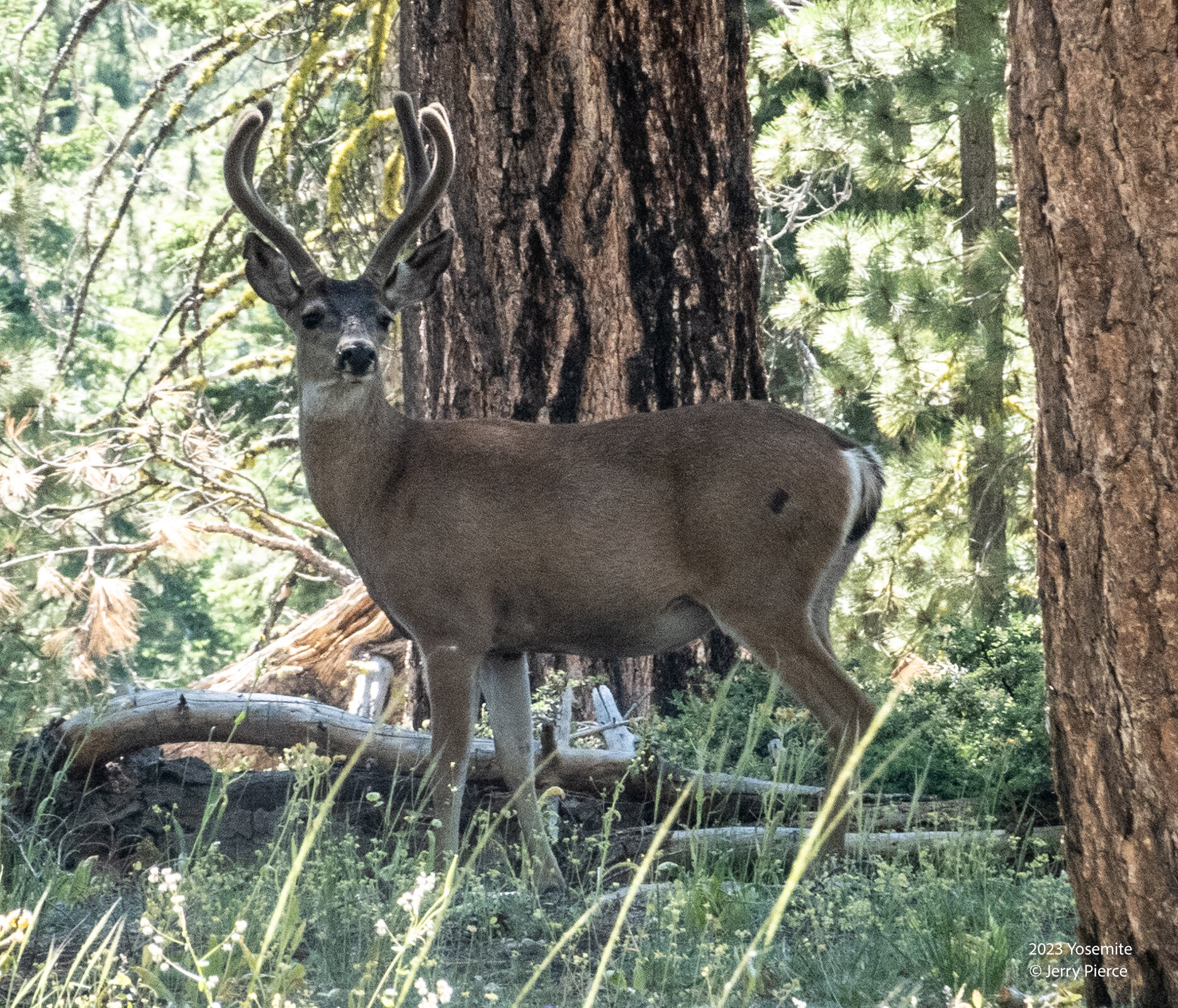
We certainly saw a lot of signs of deer, but only a few were spotted.
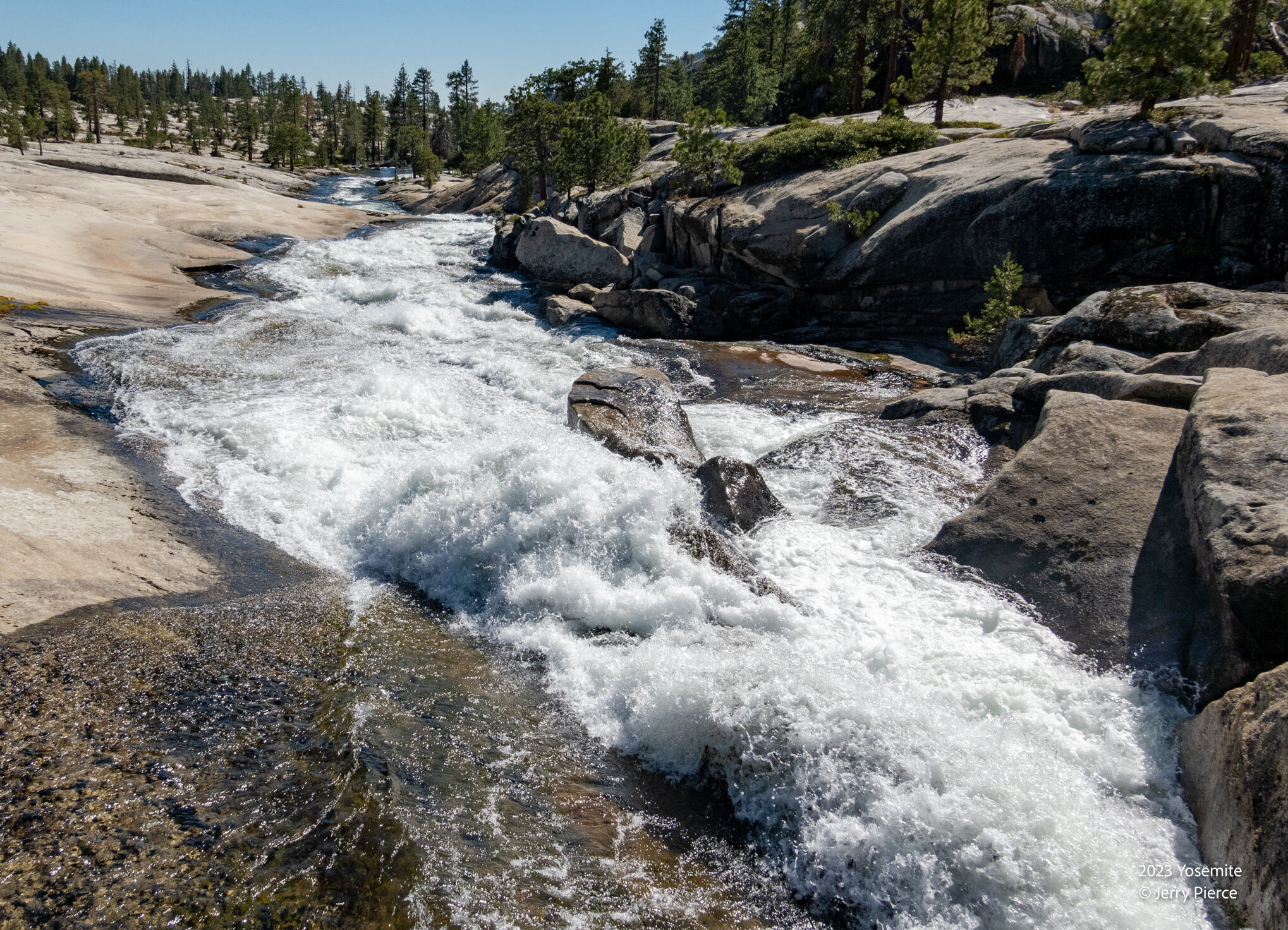
We arrive at Vernon Lake and go over the bridge to our crowded campsite. There were probably 4 other camp groups in the region.

Other side of the bridge
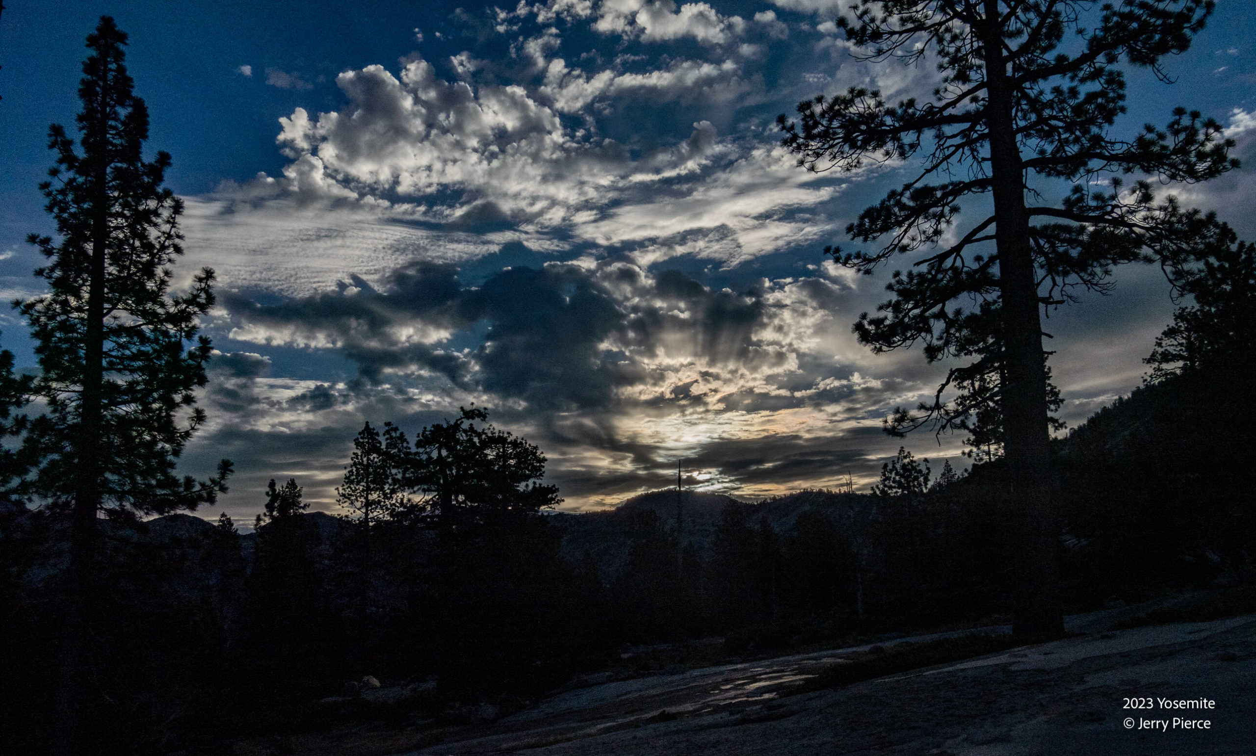
And a little later sunrise
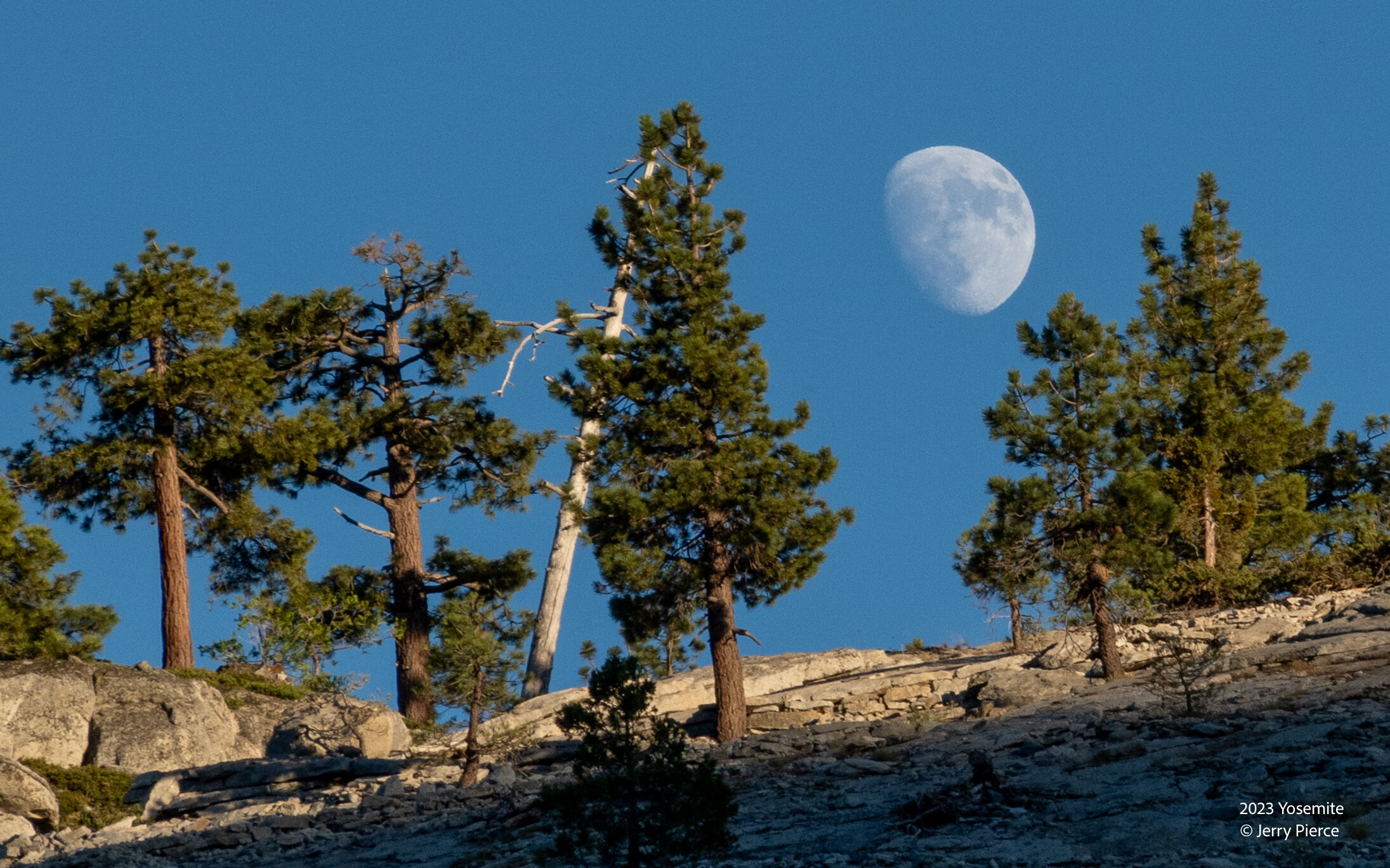
The moon was coming up earlier and earlier each day. Finally we get a good look a sunset.
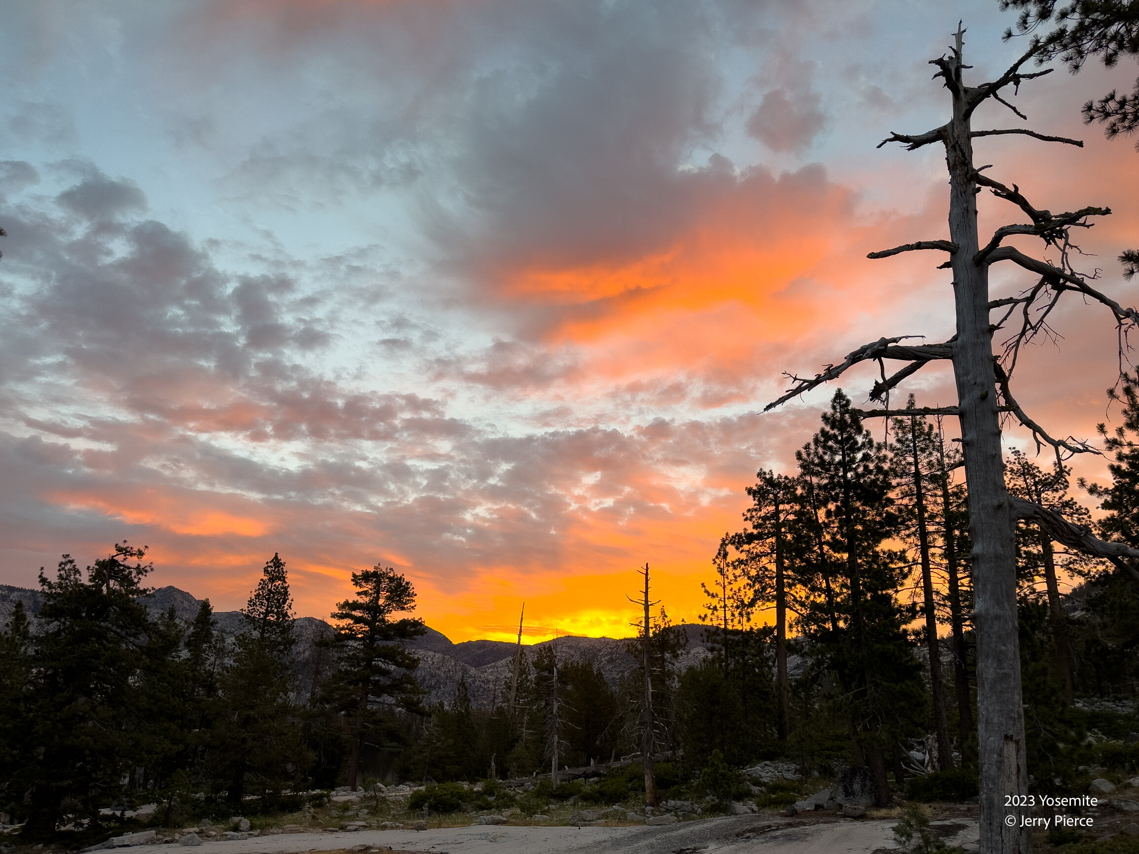
Sunrise at Vernon Lake
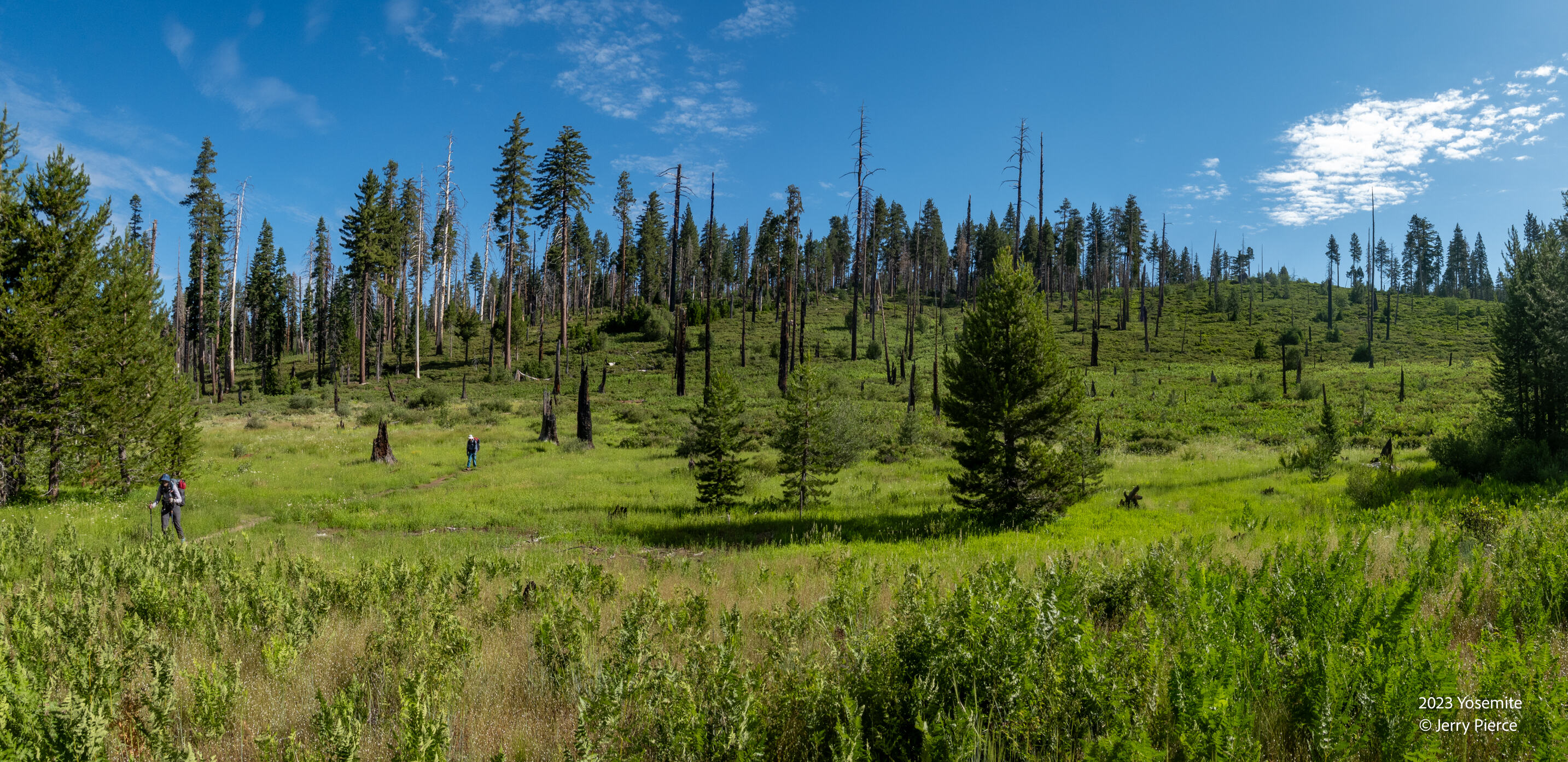
Day 8 we depart to the Hetch Hetchy – a quick 9 miles out!
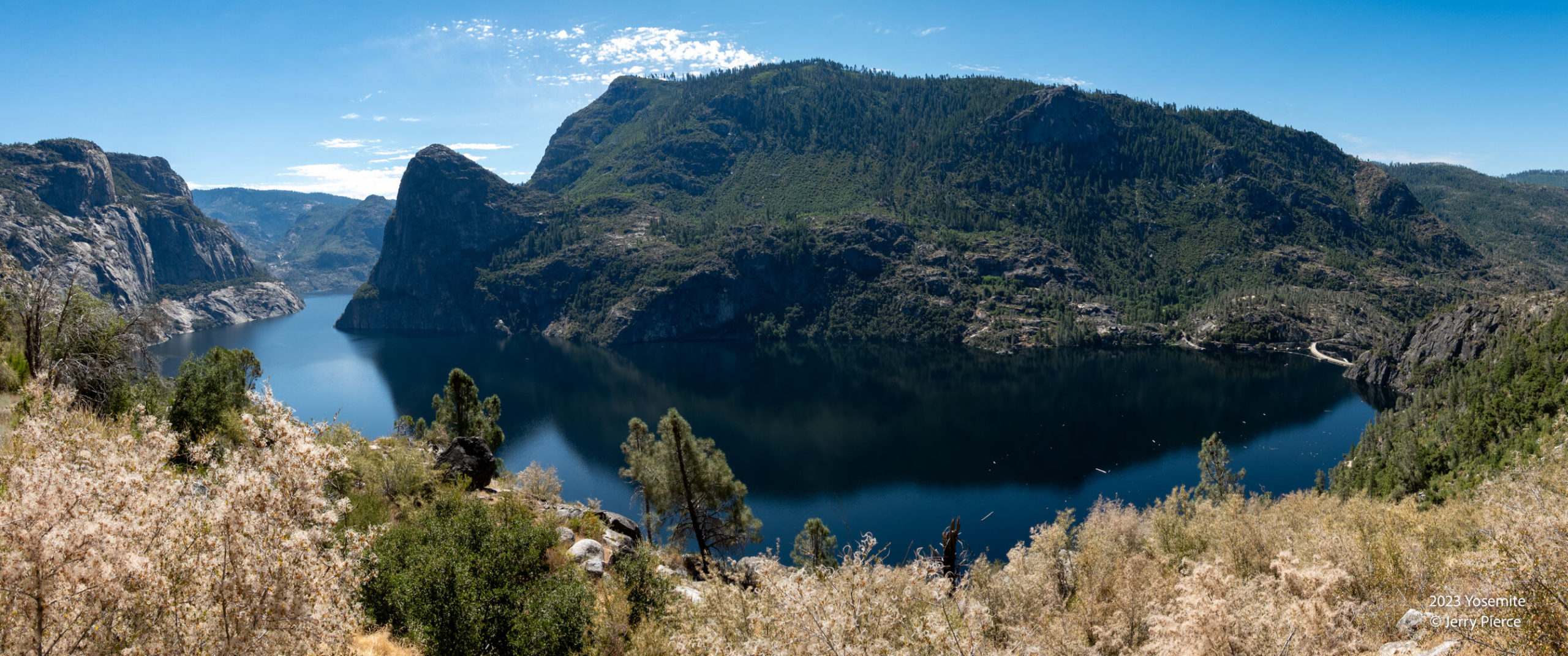
The switchbacks headed home!
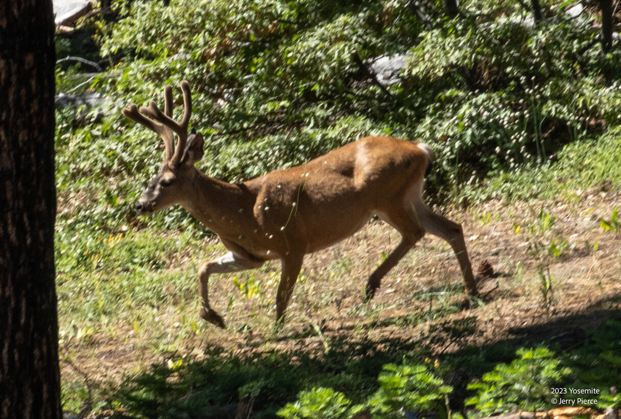
And we see another buck along the path
