2024 Glacier National Park
Pat and I decided that it was time to go north and visit Glacier National Park. The last time I was there it was with Barbara in 1971-ish and that was a very short (cold) visit in July. That time we got snow! A different time!
This trip required entering a lottery and getting permits! We did and selected a nice route (better than many other folks). For me, I flew into Boise and drove 690 miles to get to Glacier (11 hours). Not the easiest place to get to. But we were not alone. SO MANY PEOPLE!! So hard to get reservations at campgrounds and permits. But I’ll get to that…
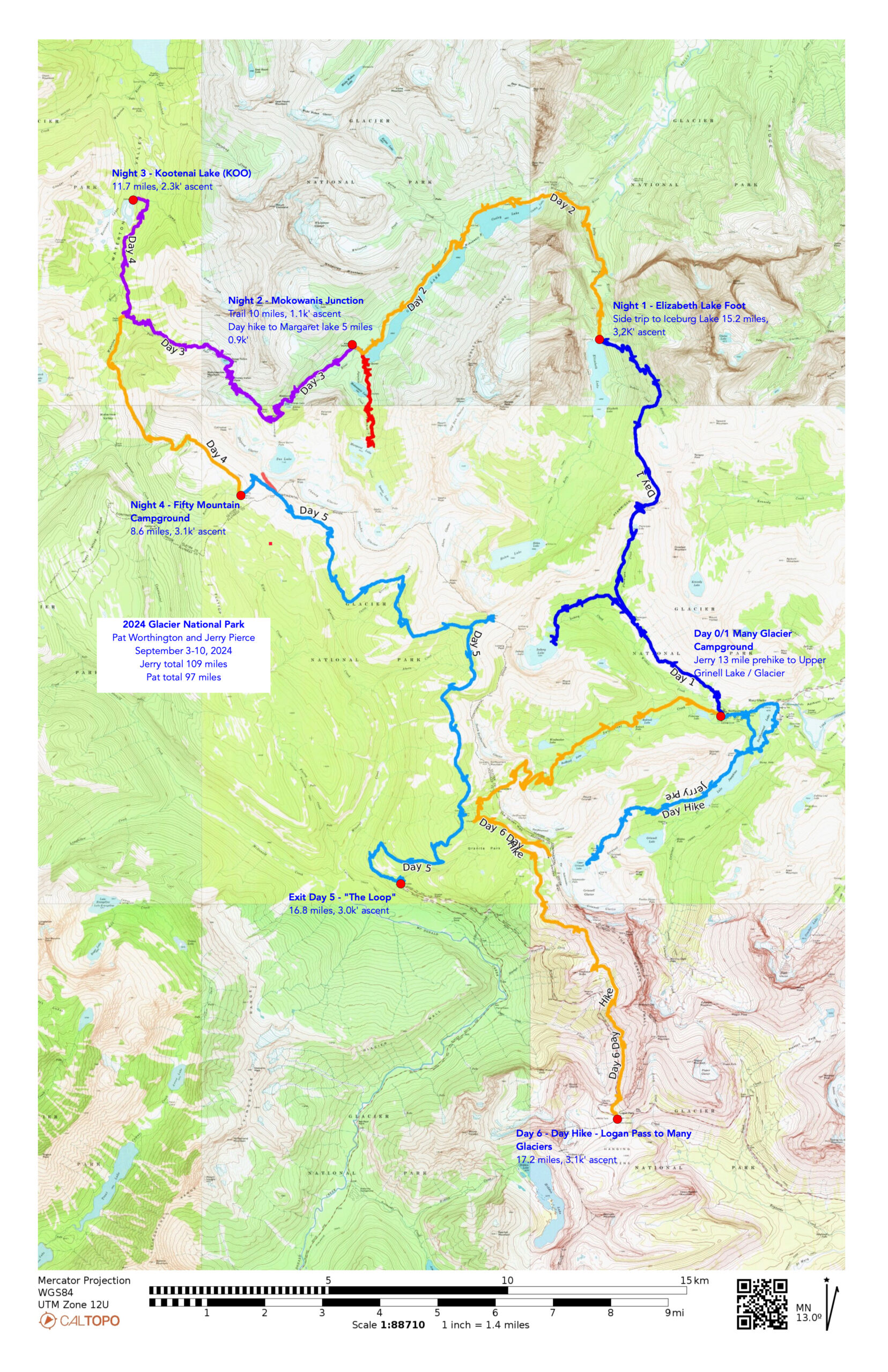
Map on CalTopo: caltopo.com/m/TJJ0F23
Here is the .gpx of the trek: https://files.jerrypierce.org/gpx/2024-GlacierNP.GPX
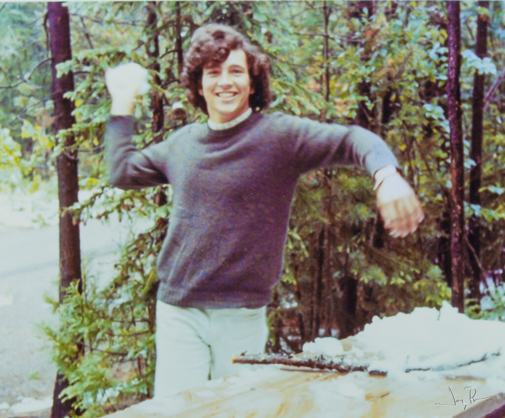
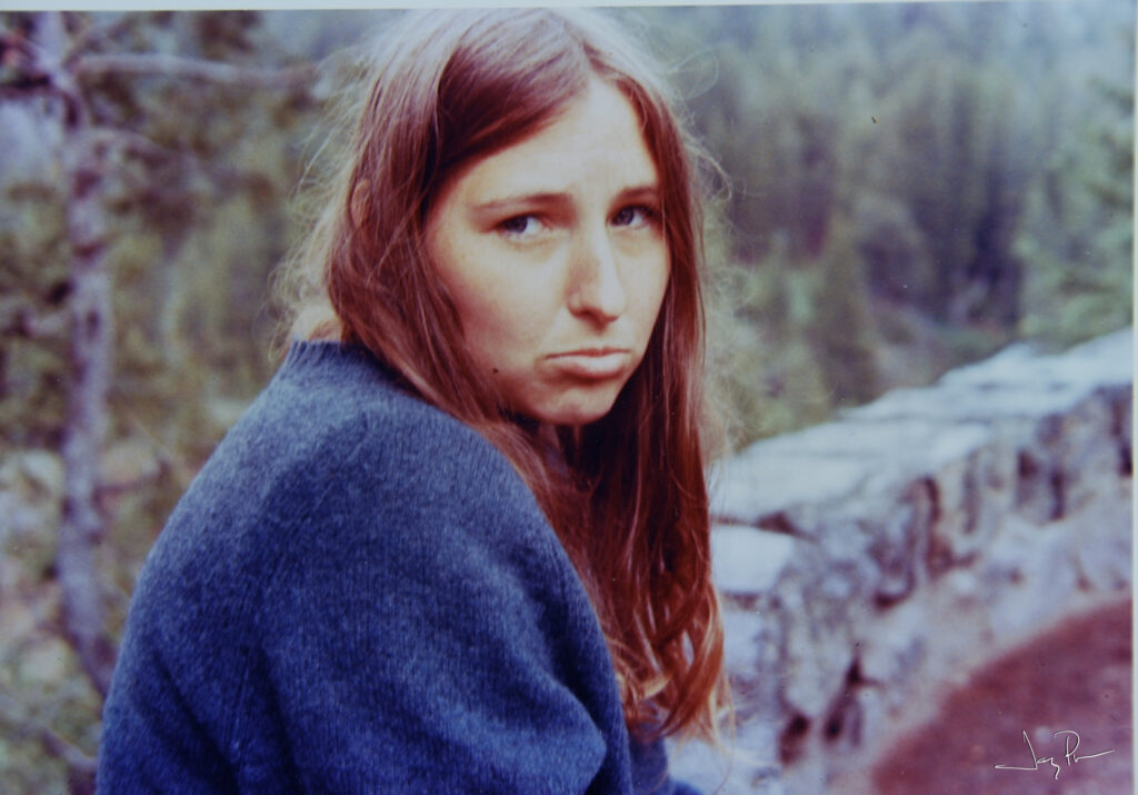
This is our pictures from 1971 on the visit to Glacier. Yes, Barbara was sitting on a wet wall. Yes, I was throwing a snowball at Barbara. Poor Barbara. THIS is why I wanted to go visit Glacier again! 😉
Did I mention that we were slightly younger?
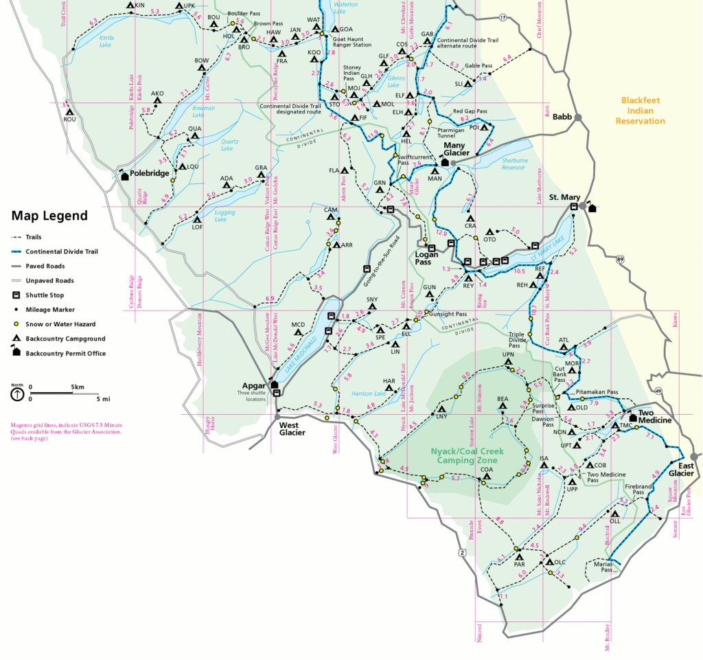
It all starts with permits. Glacier is very popular and they have a lottery system to get permits. I lucked out and won! Then they give you a date to make reservations. When your date comes up you are given a selection of campsites that are within 15-ish miles of a trailhead and have open sites. You pick one (in our case I picked ELF) then the next night’s open/15 mile range open up for your second choice (in our case MOJ). Etc. We picked KOO then FIF and the one we wanted was GRN (Granite), but it was full, so we picked FLA.
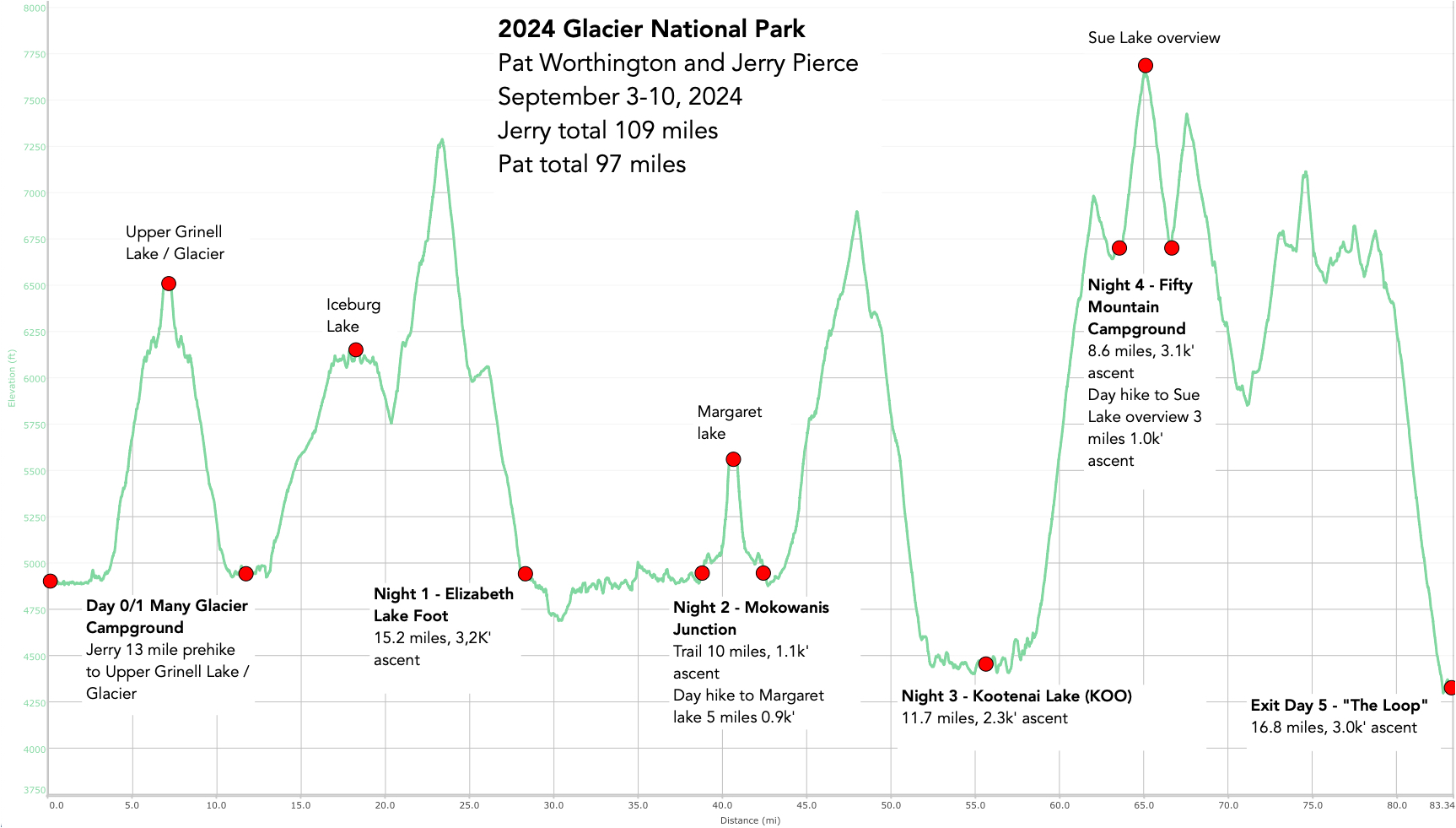
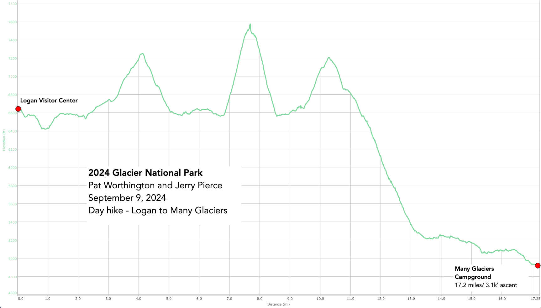
We had about 10 miles each day between campsites and that was about right. But we didn’t want to do the FIF > FLA > out, so at the last minute we let go of FLA campsite and decided to hike out the 17-ish miles from Fifty Mountain and do a day hike from Logan Pass to Many Glaciers. Good choice!
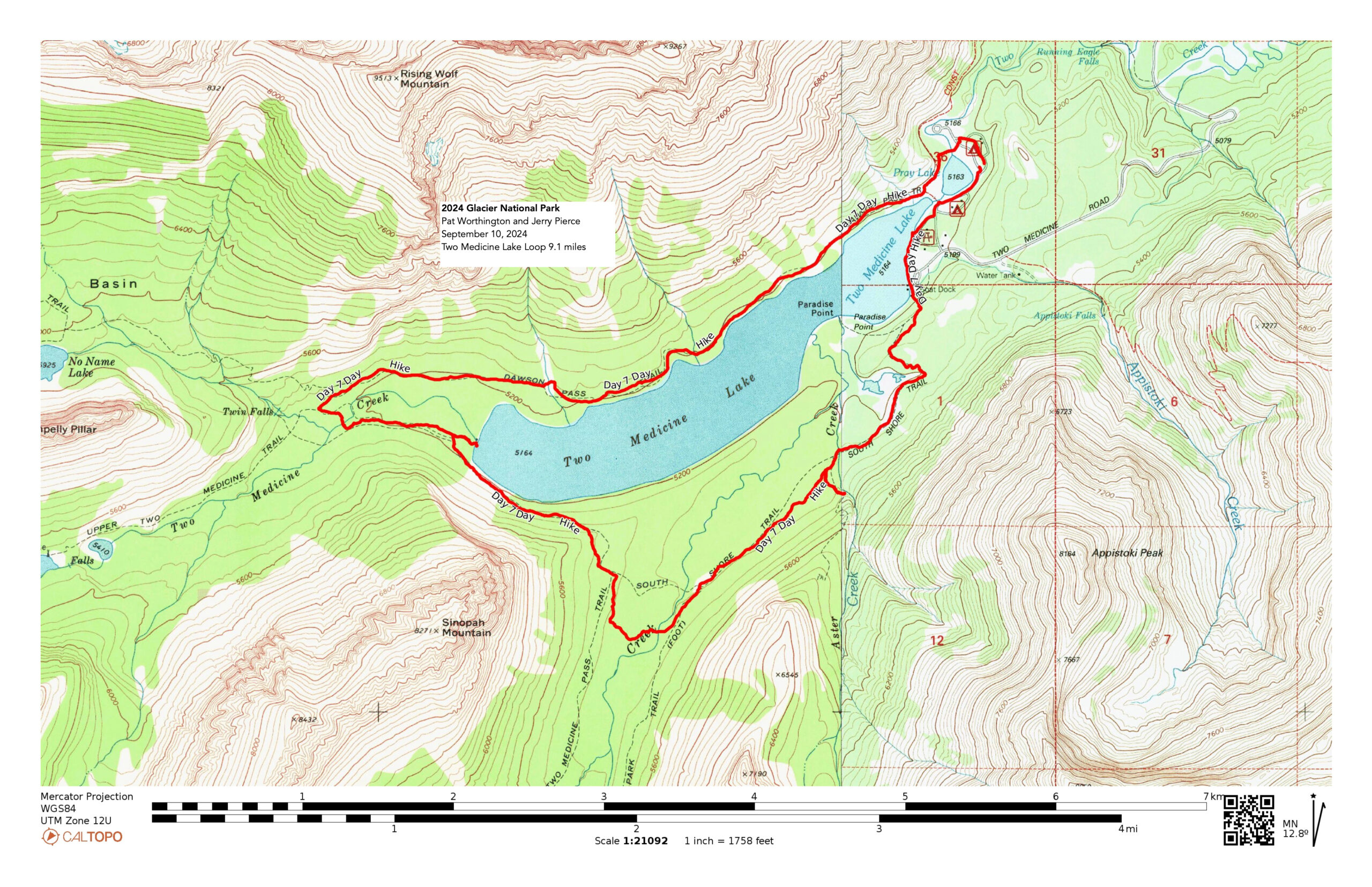
On the following day we were going down to Two Medicine and do a loop there, but we did a shorter than originally planned loop around the lake.
I mentioned that there were lots of people at the park. As as example, we wanted to spend the night before the hike at Many Glaciers Campground. A campground with about 100 or so sites. We signed up for notification when a site became available – we couldn’t just pick one since they were already all booked. Here is the note that there was a campsite available- sent to 1117 other individuals that were ALSO looking for a campsite!! (Yes, I was able to book a site based on one of these alerts!!).
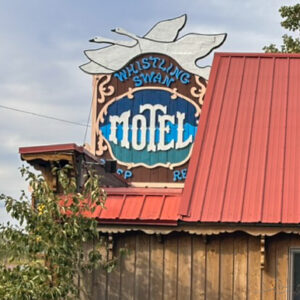
I drove on September 2 (Monday) from Boise to East Glacier and stayed at the Whistling Swan Motel. A bit expensive and across the street from the very-active trains that ran through the area, but worth it! Had dinner at a local casino/restaurant.
The next morning (Tuesday) I drove to St. Mary Ranger station, picked up our backpacking permits – talked to the ranger and headed to Many Glaciers. I arrived at our campground site about 9am and was ready to do SOMETHING. But all my hiking gear was in the car with Pat – including my Bear Spray (highly recommended for any hiking in the area). So I went ahead and spent the $50 to get Bear spray and went for a hike. I decided to go to the Upper Grinnell Glacier/overlook. It was great!! I saw at least 3 bighorn sheep and the lakes were really beautiful. And SO MANY PEOPLE!
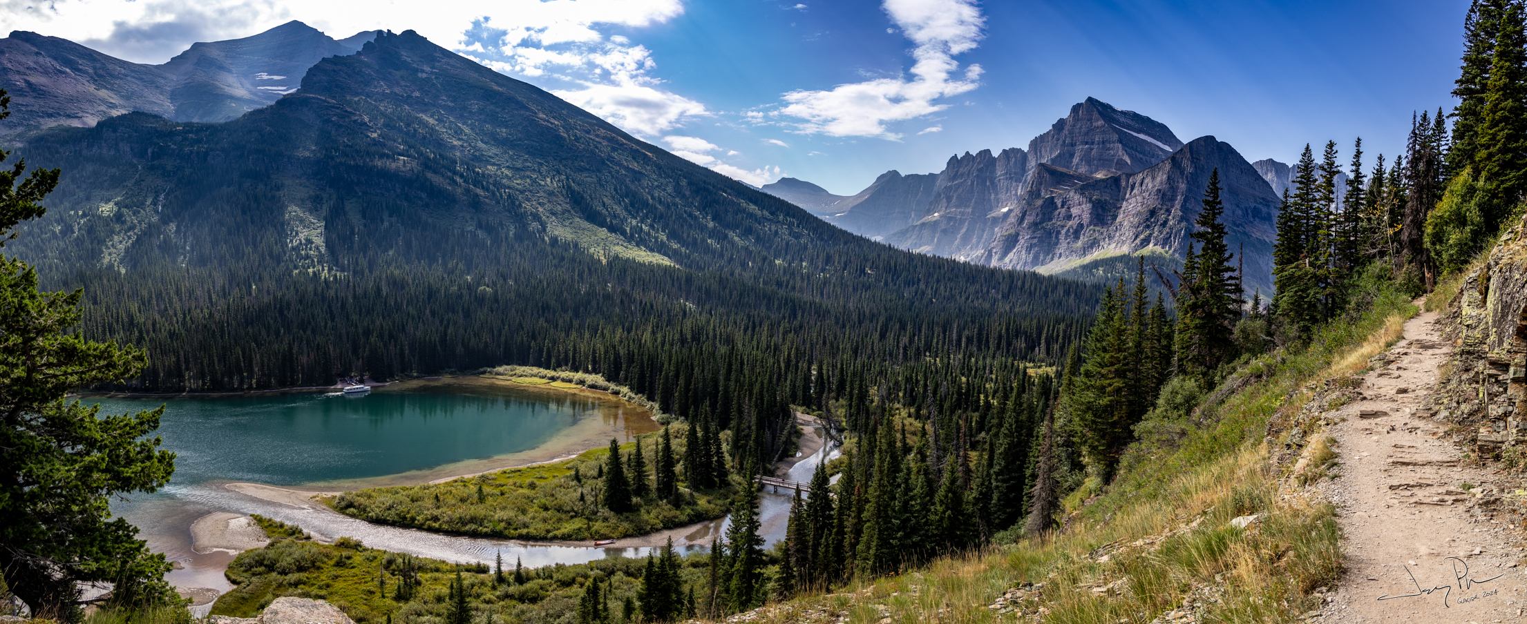
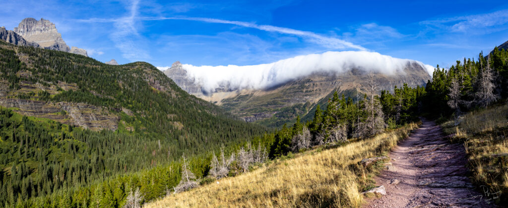
The Grinnell Glacier trail as it leaves Swiftcurrent Lake (some people take the boat to reduce the amount of walking – but not time).
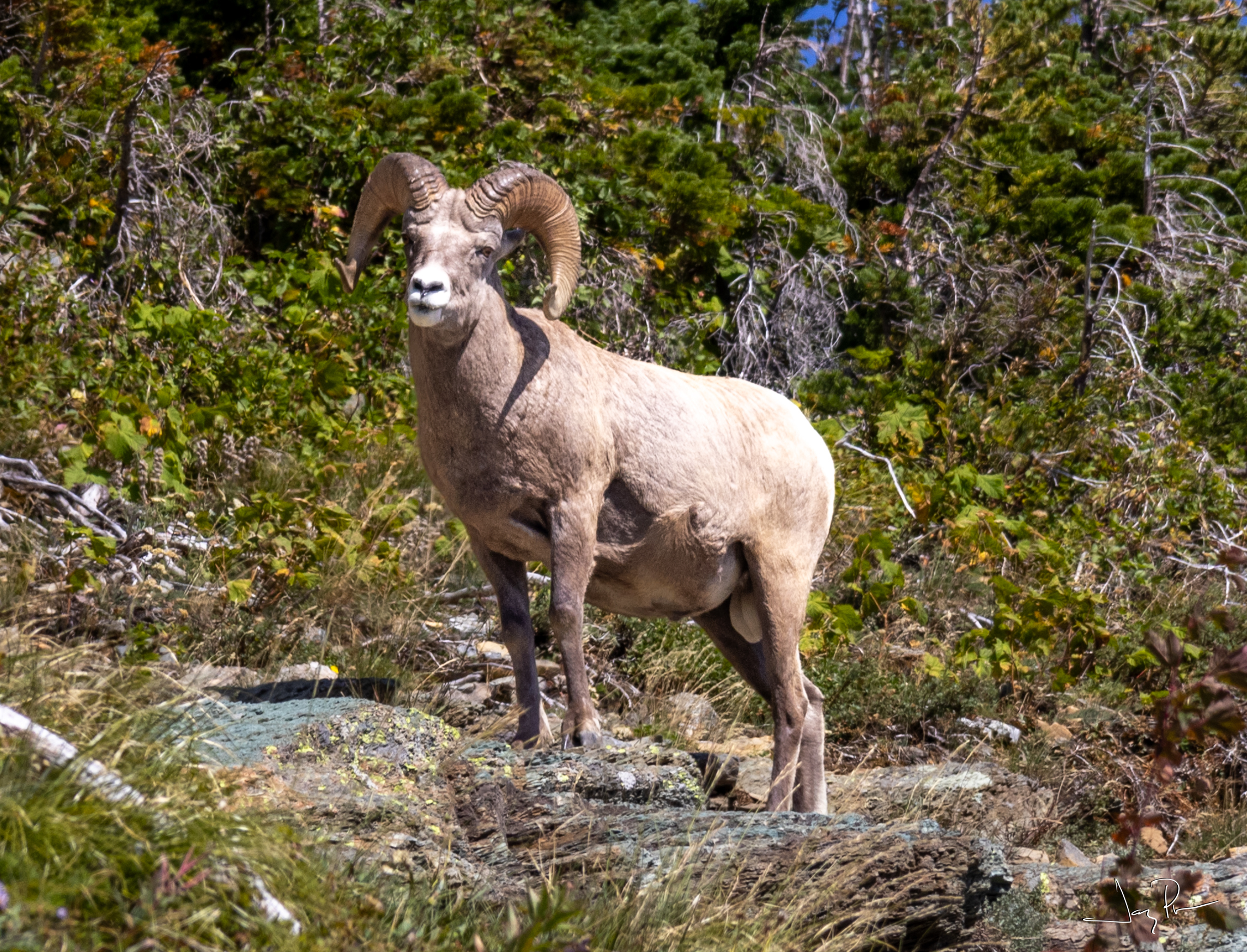
The first (of 3) Bighorn Sheep I saw during the day.
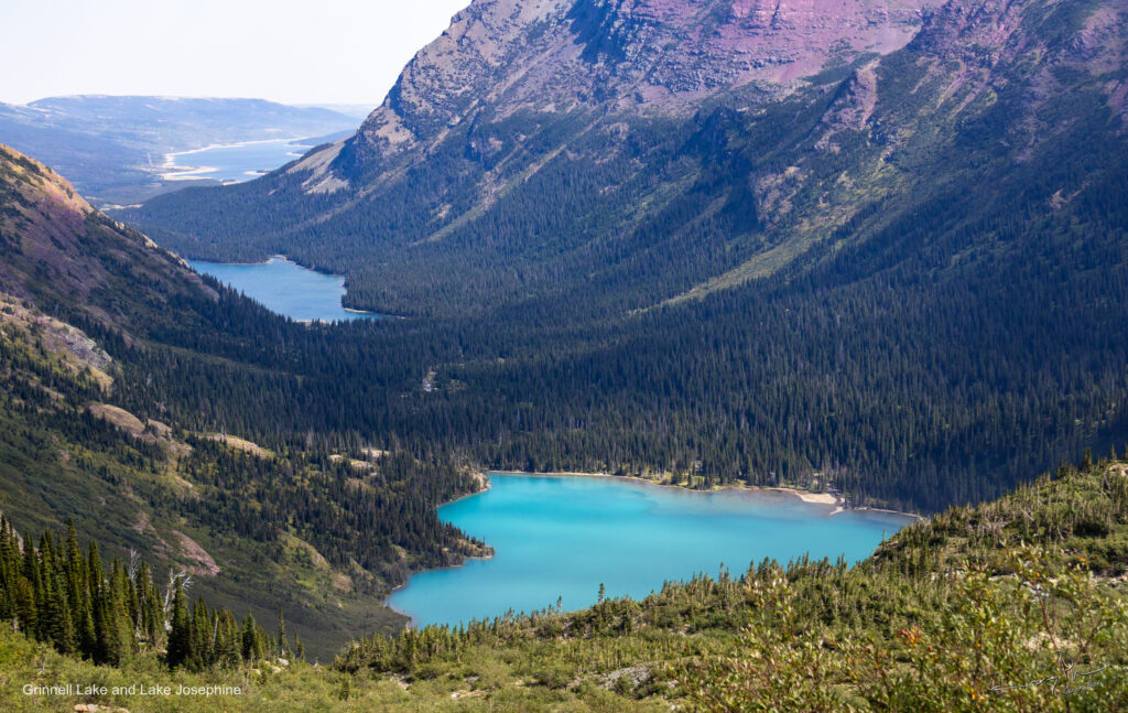
Looking back on Grinnell Lake and Lake Josephine. Out of sight is Swiftcurrent Lake.
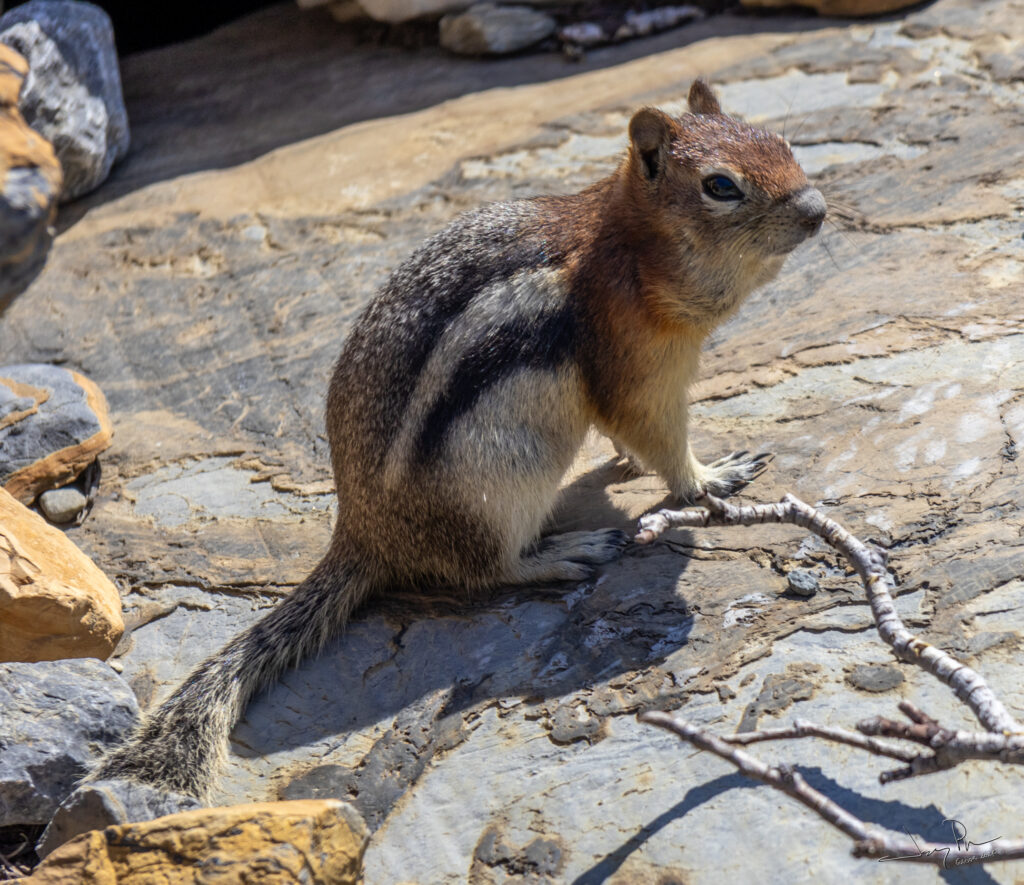
The chipmunks were aggressive at getting food from backpacks. (According to Apple not a chipmunk, but a Golden-Mantled Ground Squirrel)
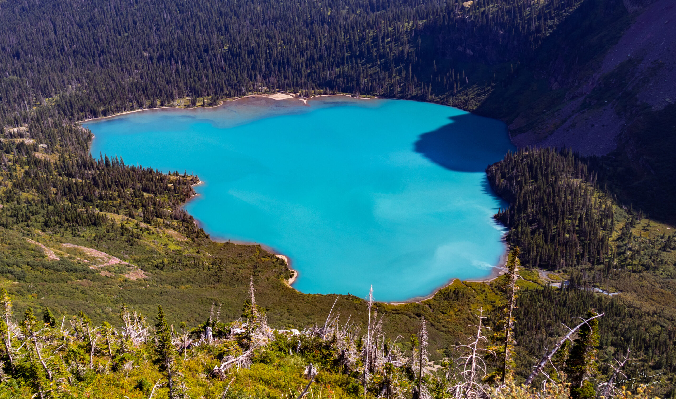
Grinnell Lake. Pretty colors!

The second Bighorn Sheep. This one was eating near the overlook. Took a while before he finally turned around and looked at us.
Pat and Jim arrived later in the day and we set up at Many Glaciers campground for our first night in Glacier. Up the next morning and Pat and I were on the trail headed to Elizabeth Lake with a slight detour to visit Iceberg Lake.
Backpacking Day 1 – Many Glaciers to Iceberg Lake to Elizabeth Lake Foot campground (14.8 miles)
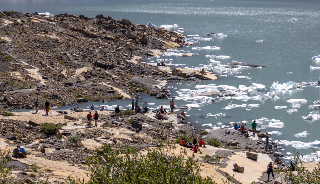
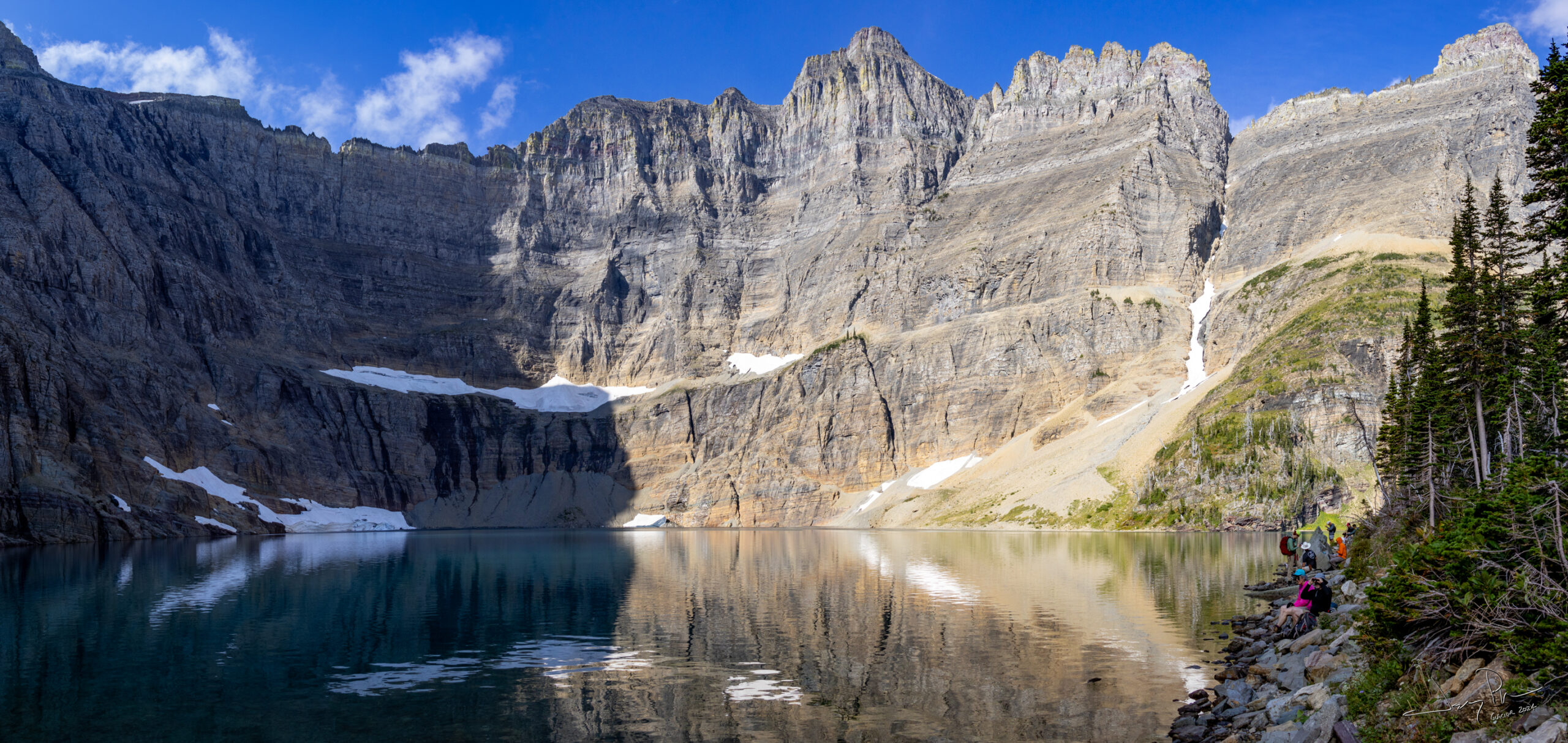
Iceberg Lake looked cold (but, of course, someone went “swimming”). The peaks were over 3000′ higher than the lake!
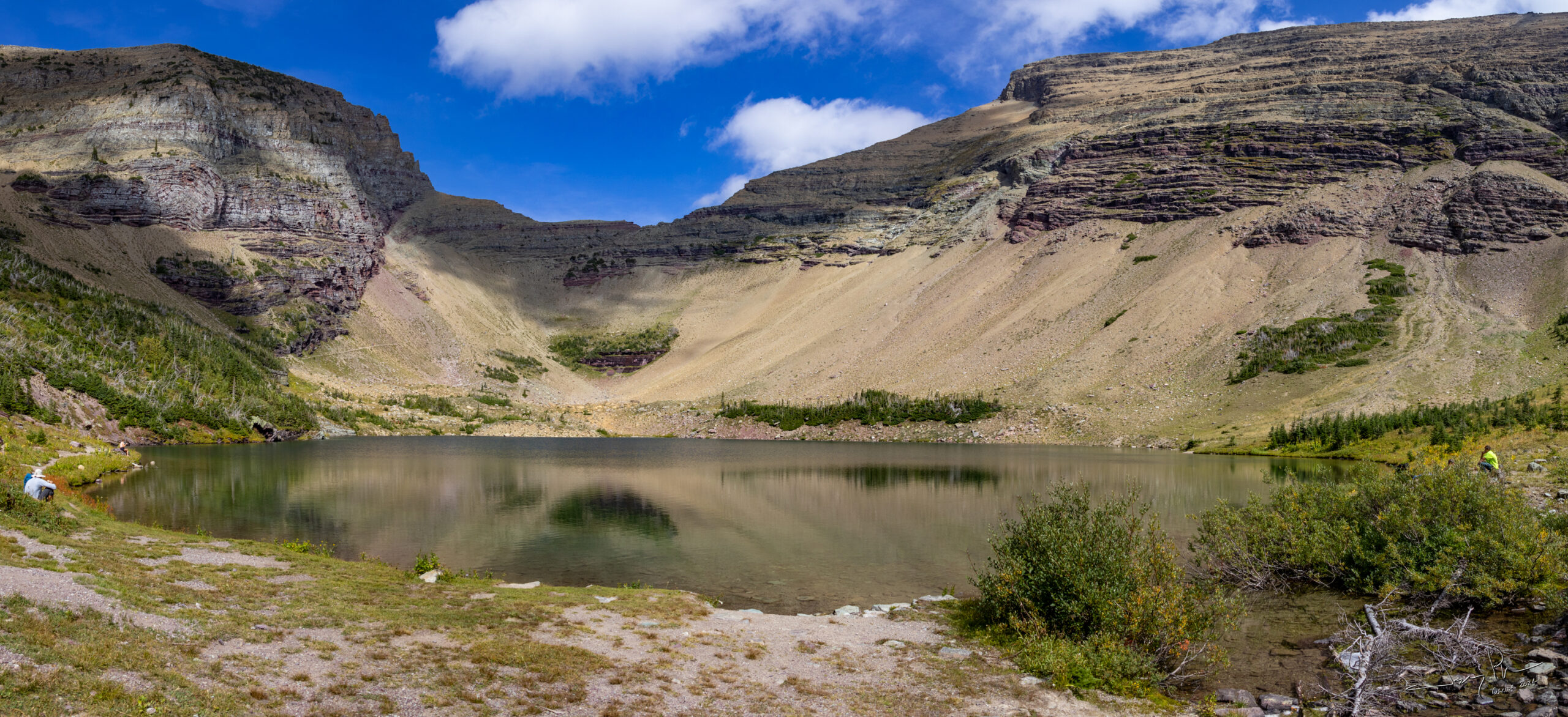
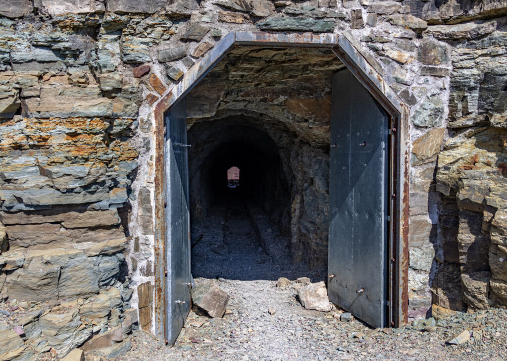
Ptarmigan Lake was near the pass. The other side of the pass was straight down, so the park service has built a tunnel and a walkway on the other side.
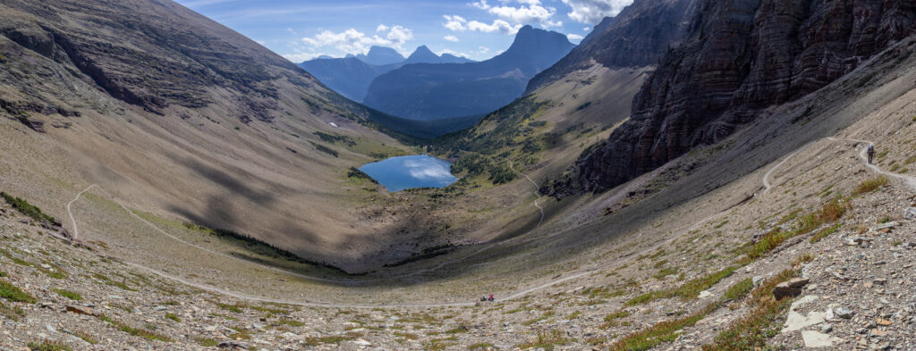
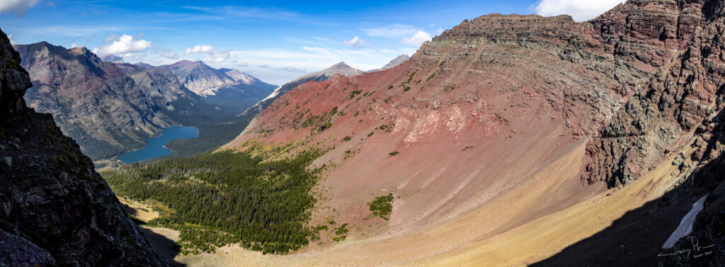
Looking back at Ptarmigan Lake from close to the tunnel.
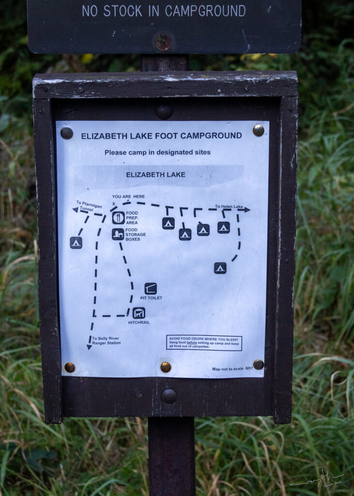
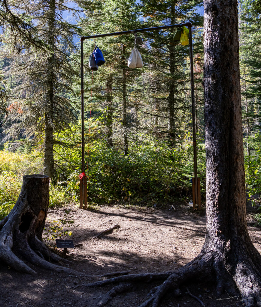
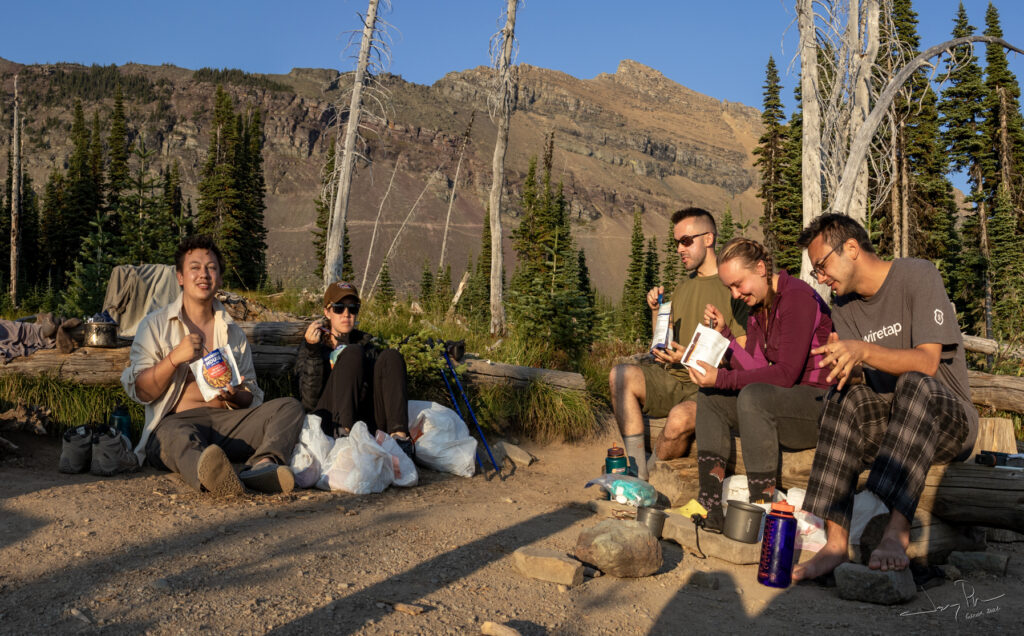
Our first campground in Glacier. This one was pretty big with 6 campsites. Each campsite can hold up to two tents and 4 people max. Each campground has a food prep area (all groups must cook/eat in this area) and a place to store food. Most places had a hanging pipe, but Elizabeth had bear boxes. Each also had a pit toilet (BYOTP). This one has a door, others did not have any enclosure at all.
Elizabeth is a very popular campsite! It’s 10 miles from the Many Glacier trailhead (we made it 14 and went to see Iceberg Lake). There was another big group (10 people?) with us in the campsite. We got a taste of what other backpackers were like – not as experienced or “sharing” as we are used to.
Backpack Day 2 – Elizabeth Lake to Mokowanis Junction (about 8.5 miles) then a day hike up to Margaret Lake (4.5 miles).
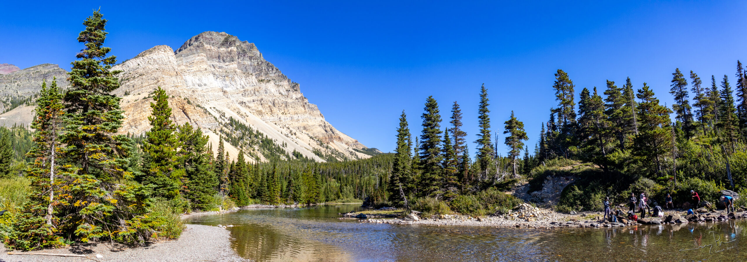
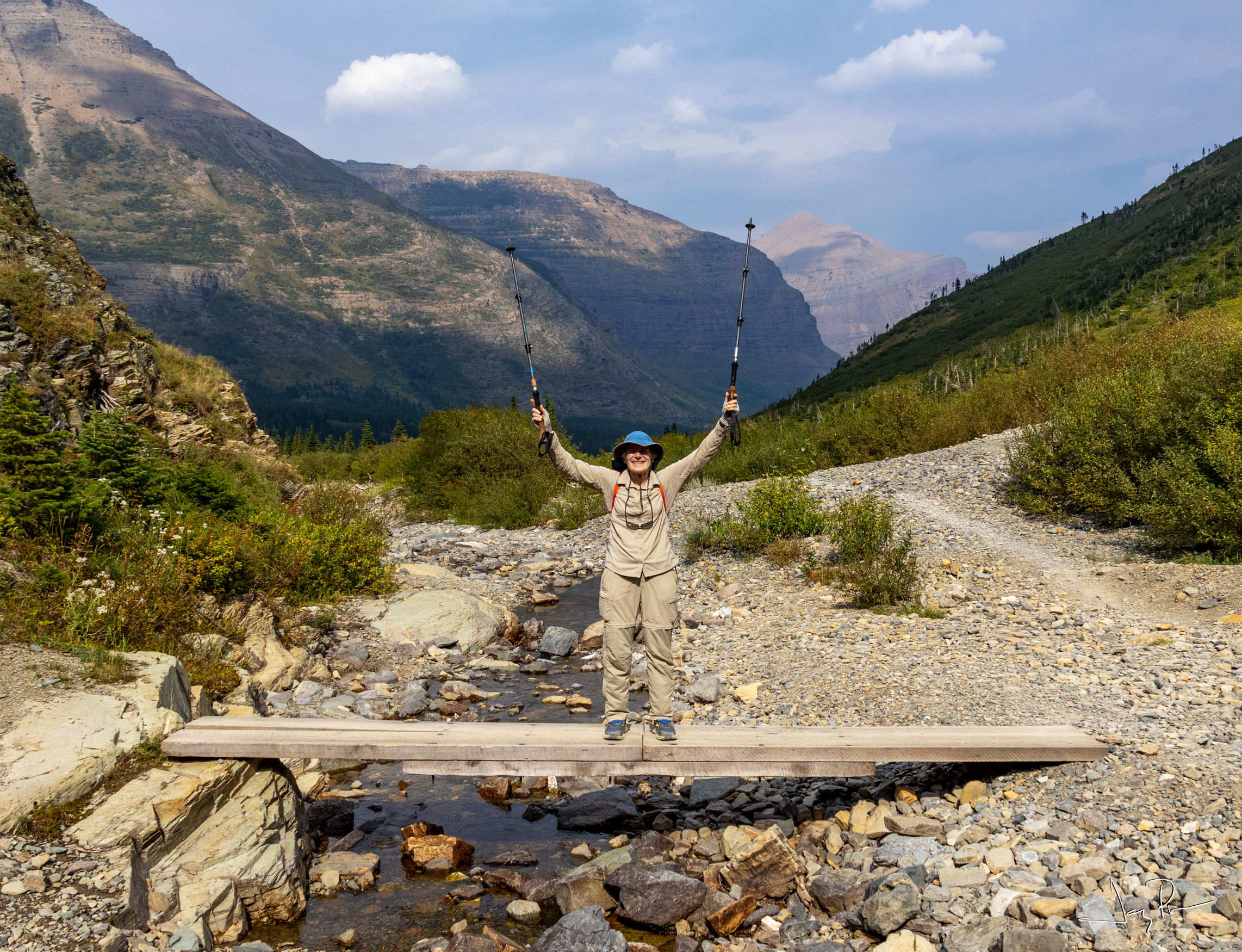
At the foot of Cosley Lake we needed to ford with our crocks. There was a group of Japanese visitors who were going the other way (and having a great time skipping rocks on the water!).
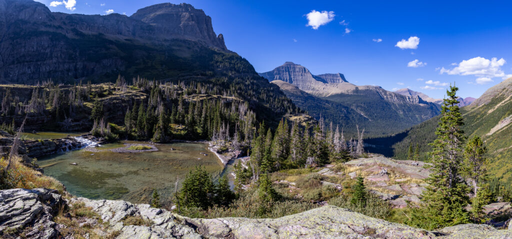
Backpack Day 4 – Kootenai Lake to Fifty Mountain (8 miles) and an easy down. We added a day hike up to see Sue Lake (3 Miles).
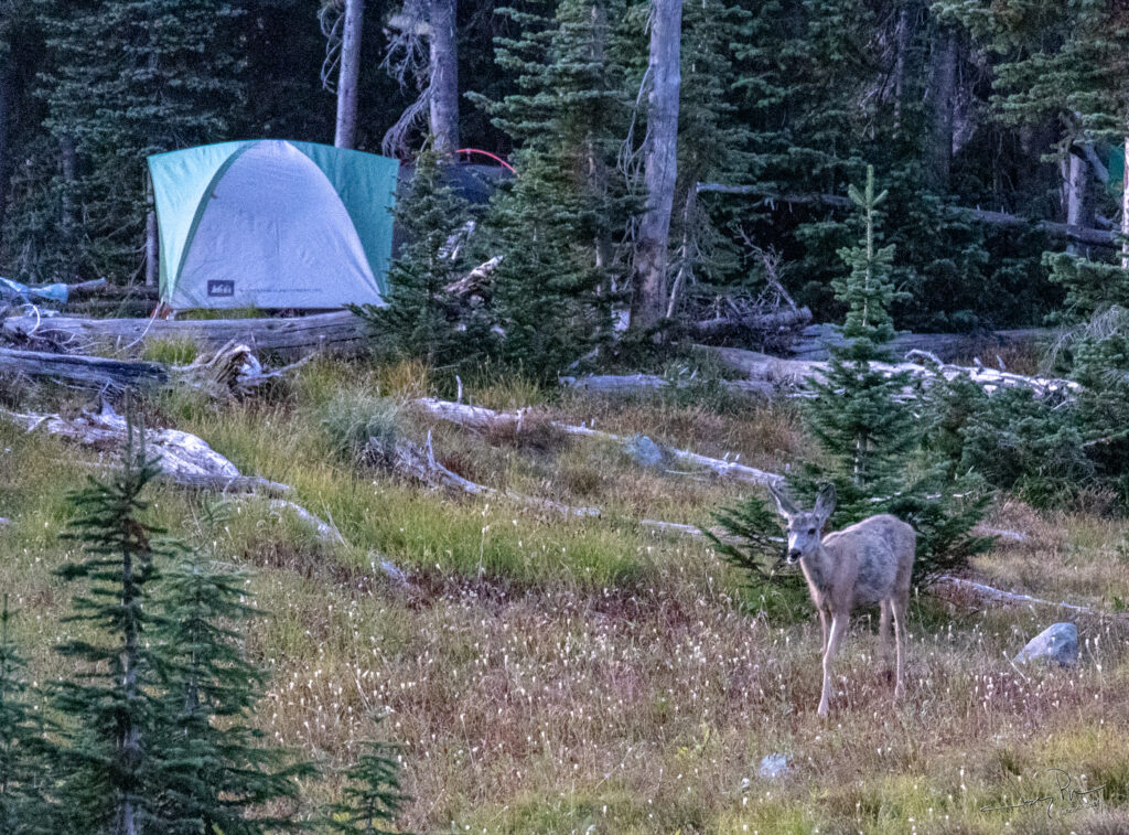
Fifty Mountain was my favorite campsite – at least from the perspective of the camp sites. Not a great fan of the pit toilet (open air) and the common area (just too many people). But anytime you have deer in camp – what can go wrong?
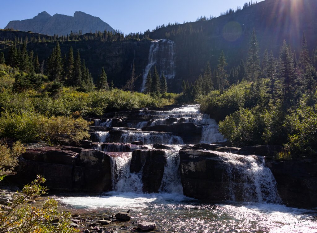
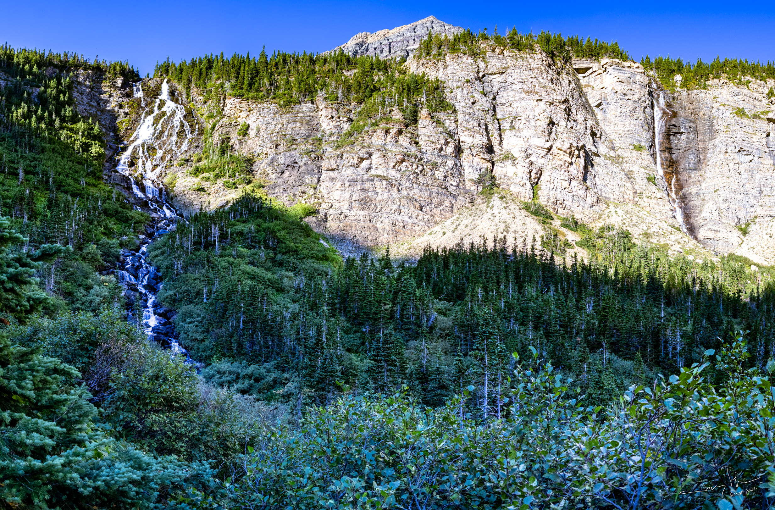
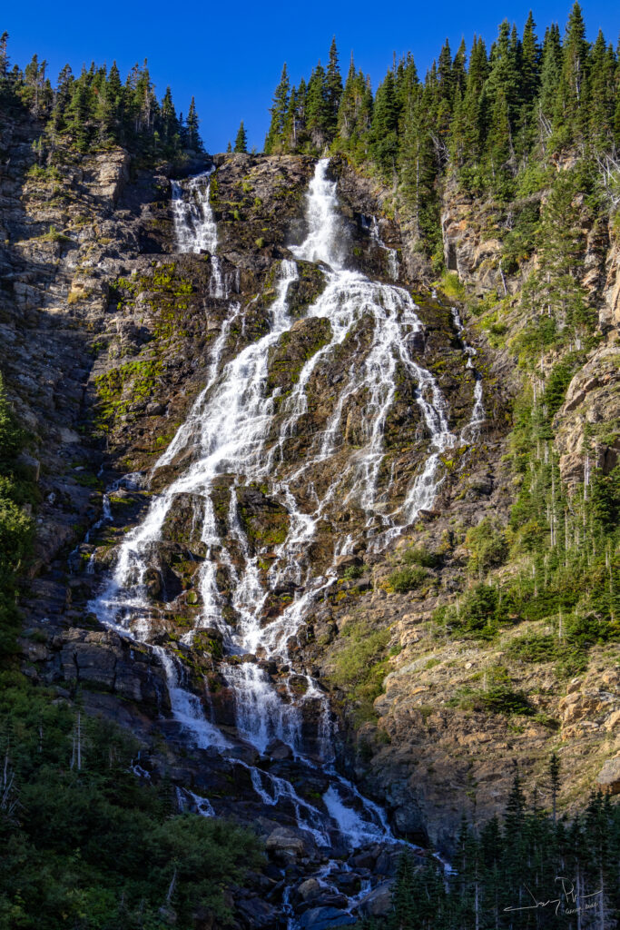
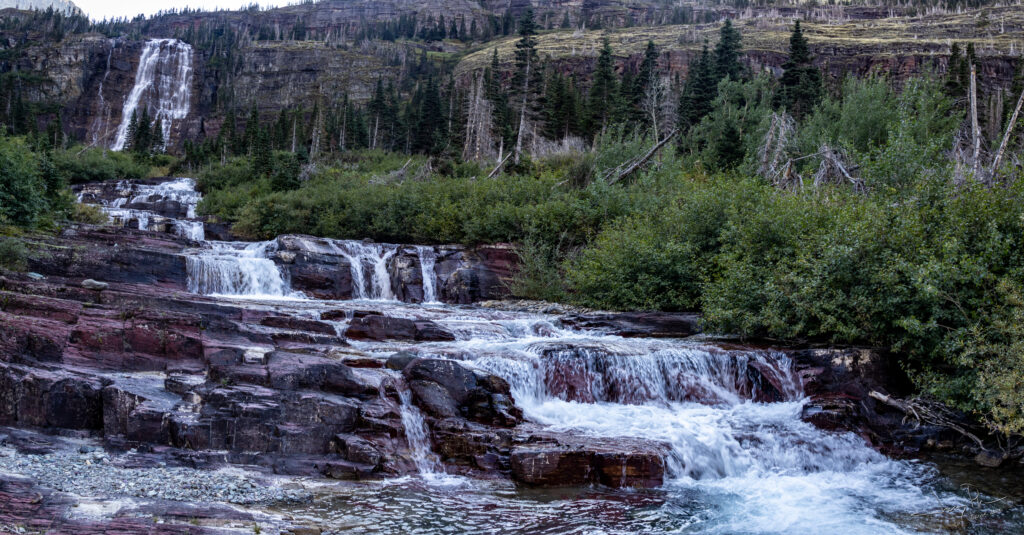
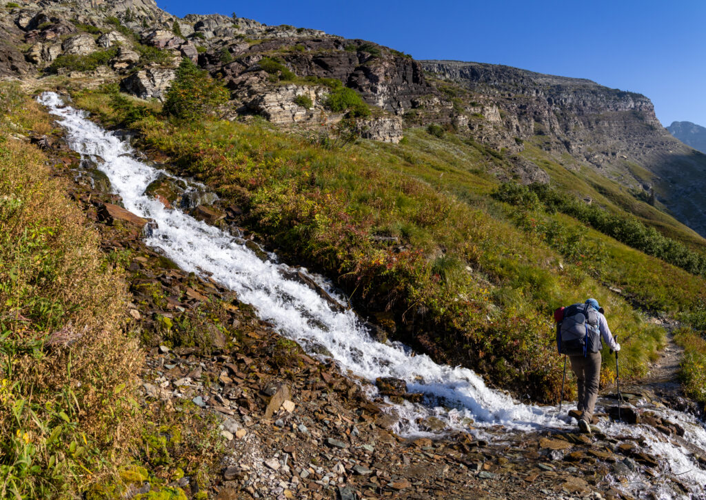
Some fun waterfalls on the way
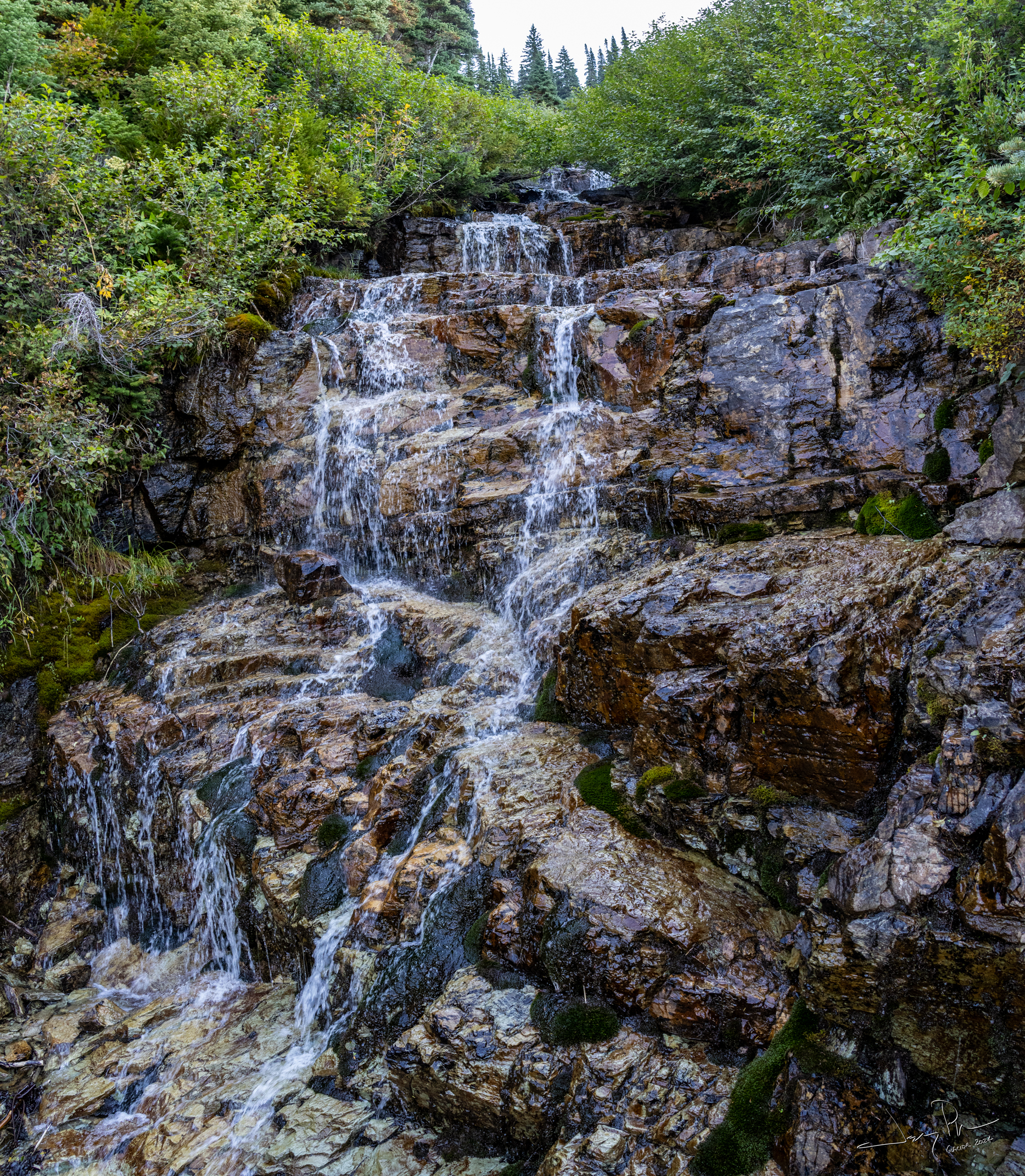
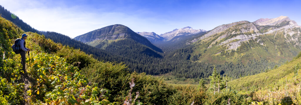
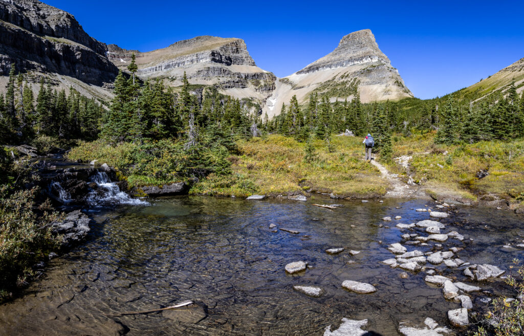
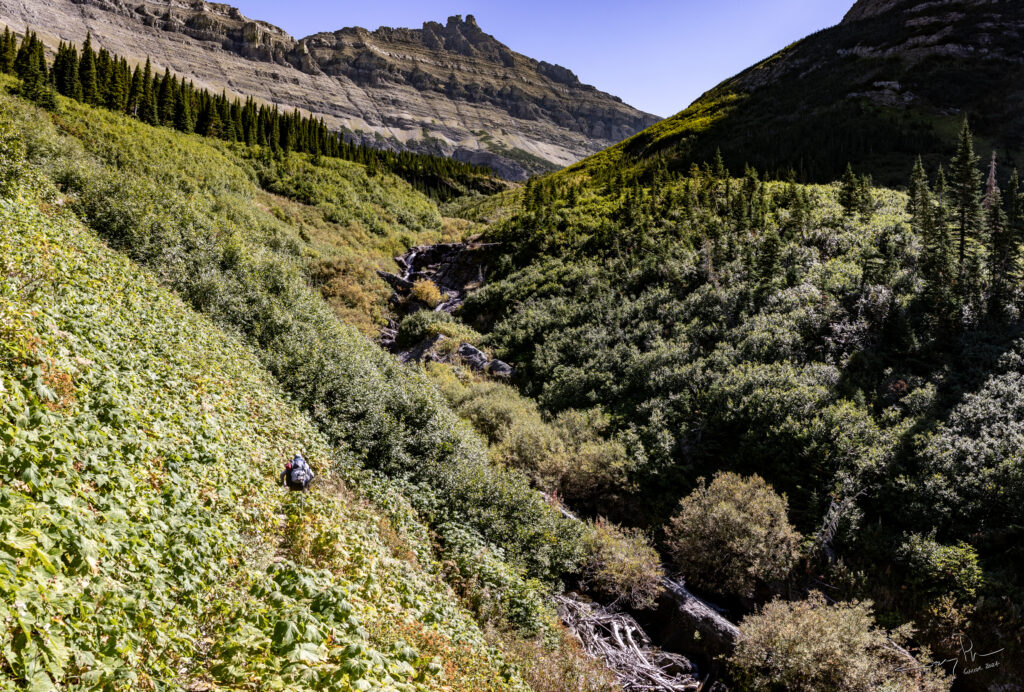
Pretty expansive vistas when we were not in the bushes.

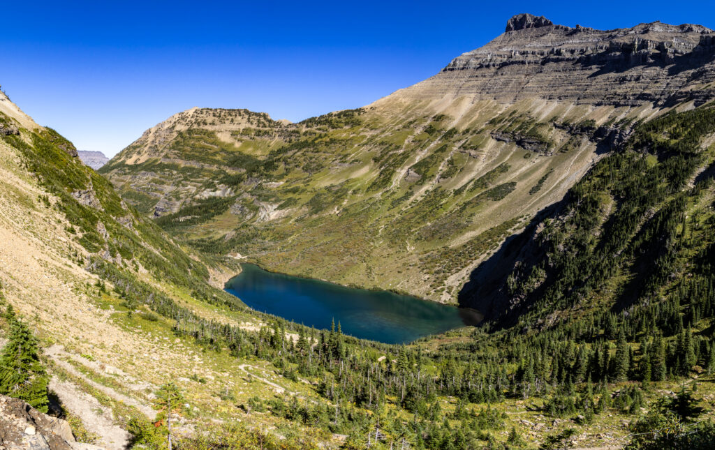
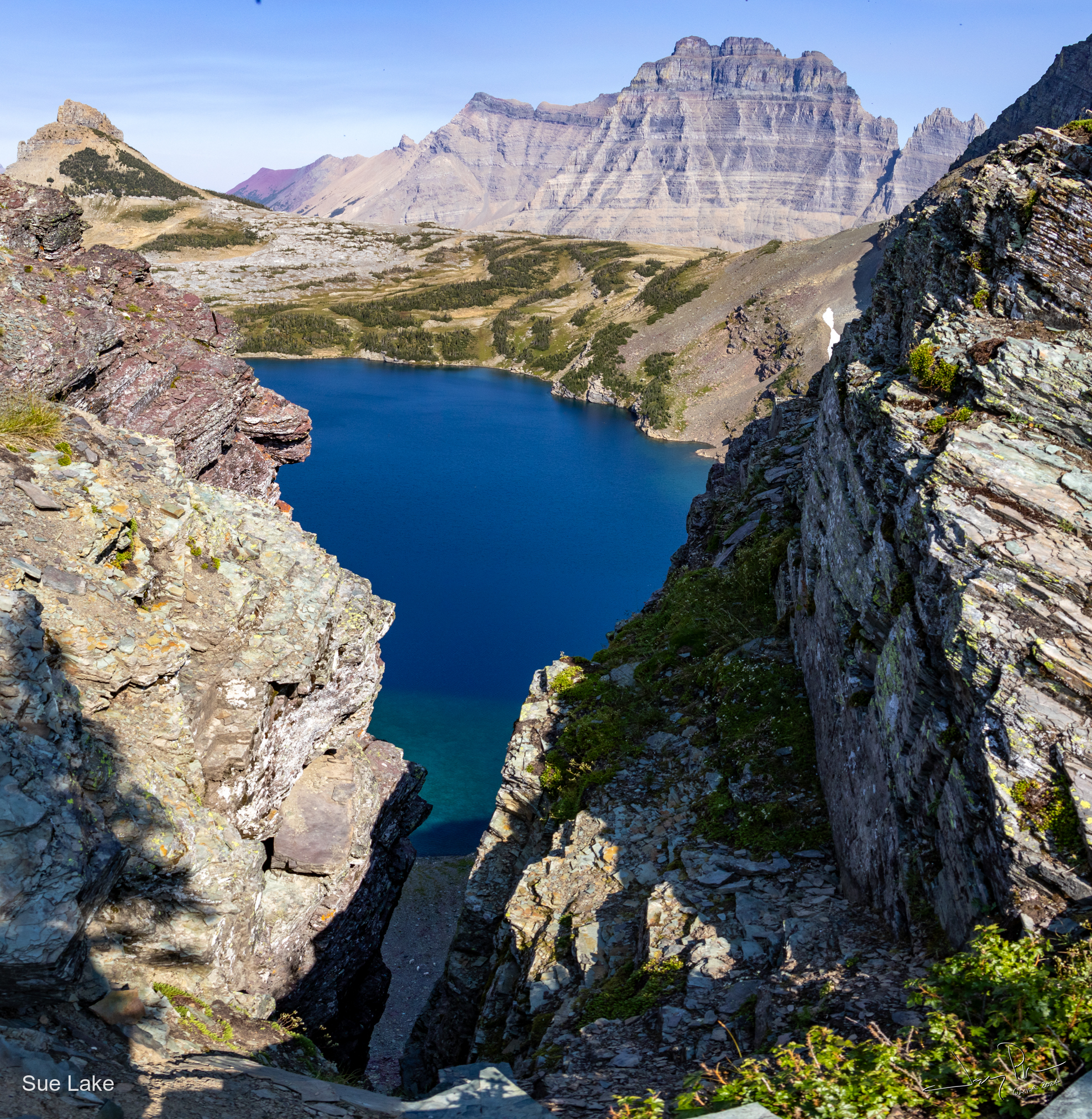
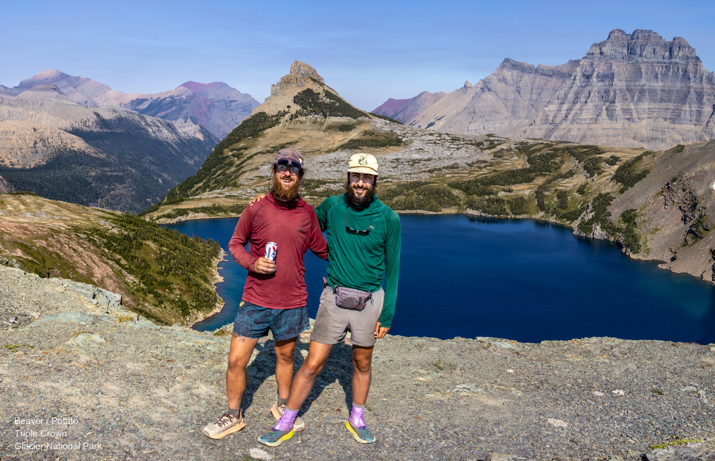
The day hike to the Sue Lake overview was worth it!! Not only was the view of Sue Lake spectacular, but we met up with two through hikers – Beaver and Potato – who were finishing the Continental Divide Trail (from Mexico and later today they would be in Canada). In addition it was the end of the hikers Triple Crown (AT, PCT and CDT).
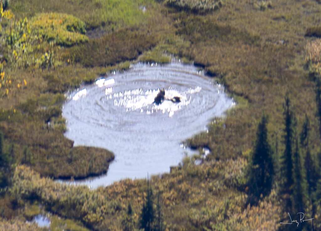
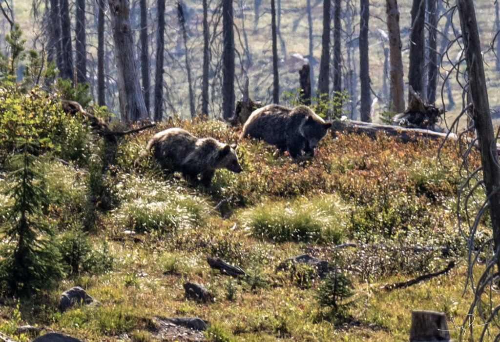
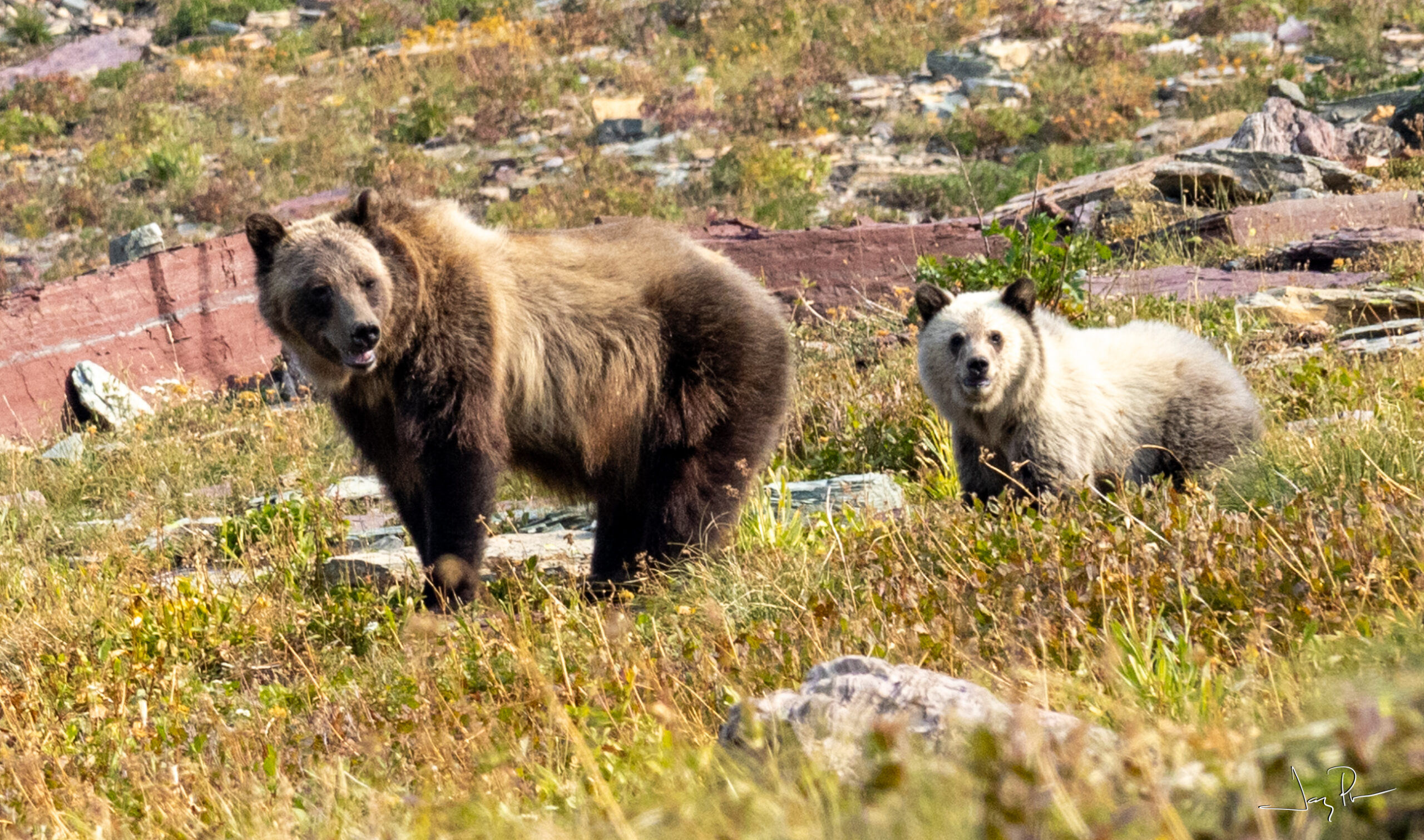
From a very far distance away, Beaver and Potato pointed out a family of bears swimming in a pond. The same pond Pat suggested I might like (small and probably warm). Glad we didn’t go there.
Backpack Day 5 – Kootenai Lake to Loop Trail Exit (16.5 miles). Including a short walk out to an overlook of Helen Lake. On the Continental Divide Trail (mostly). Past Glacier Park Chalet.
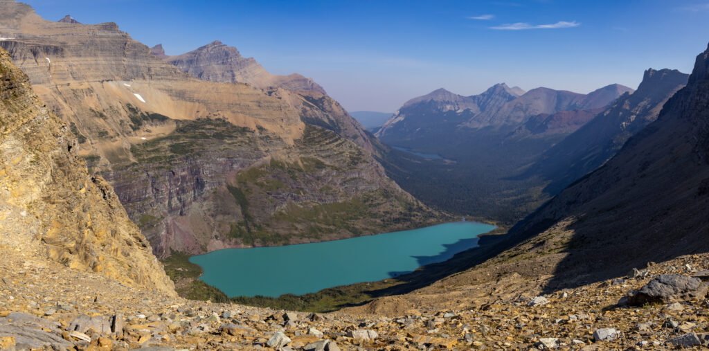
Helen Lake
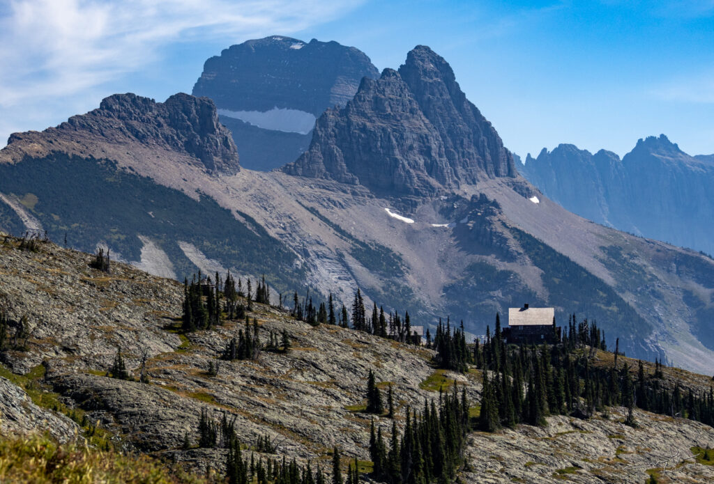
Our first view of the Granite Park Chalet. We planned to come and see it up close tomorrow.

In this area there must have been a fire many years ago. The trees are all white and very few signs of charcoal.
Day 6 – Long Day hike – from Logan Pass Visitor Center to Many Glaciers Campground. (16.8 miles). Including a visit to the Upper Grinnell Lake overlook. Day packs only!
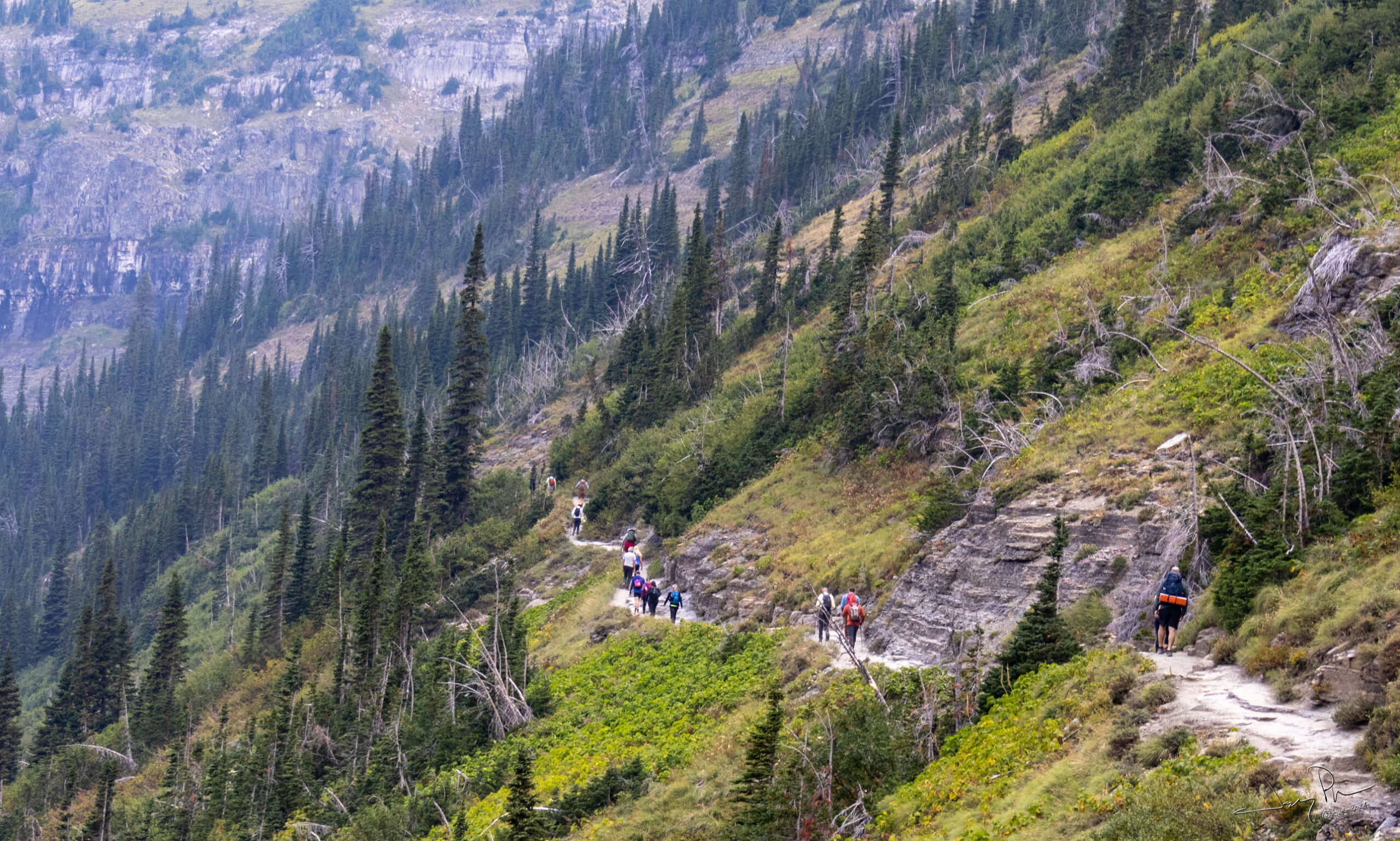
The official Continental Divide Trail and VERY popular. Most go from Logan Visitor center and out Loop Trailhead. We went to Many Glaciers – mainly since we had Jim to drop us off.
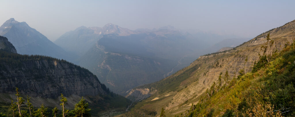
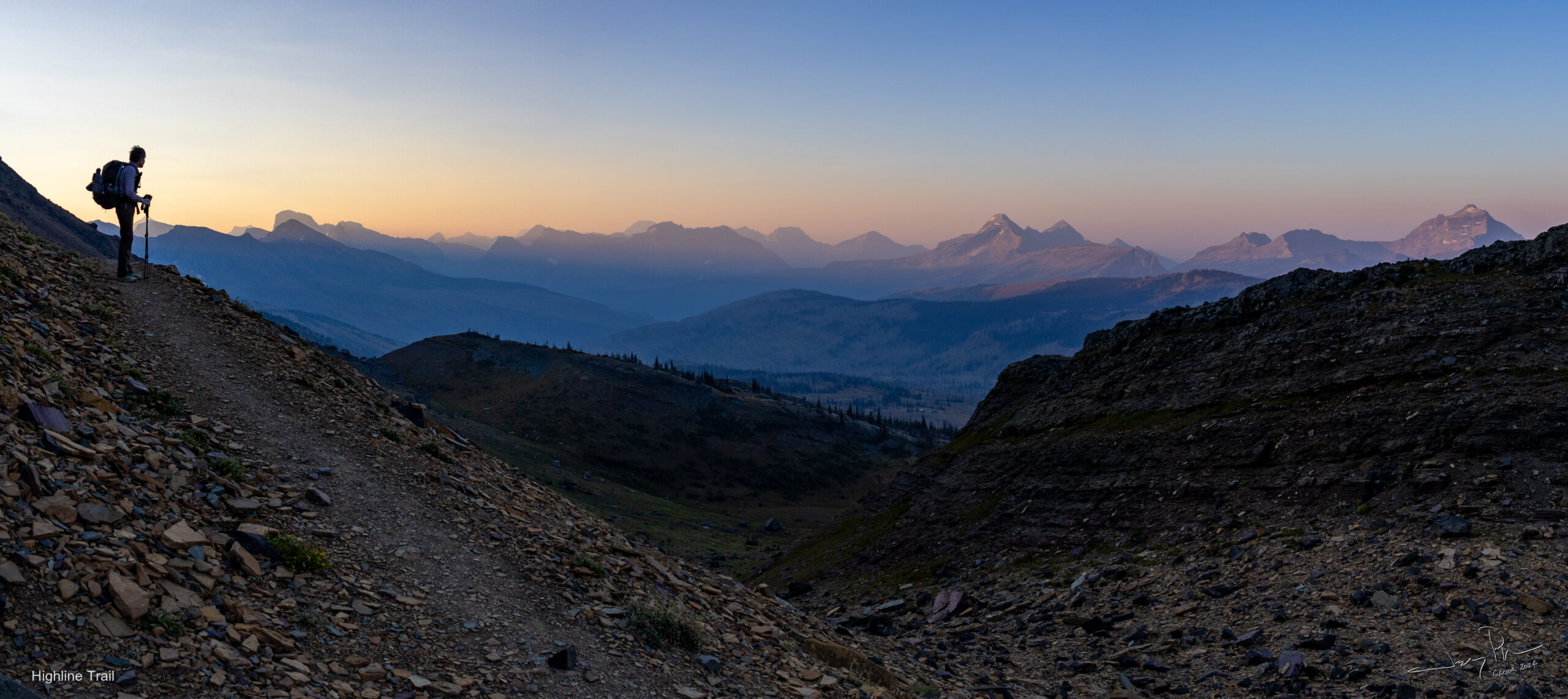
It was a hazy day and we didn’t have great views.
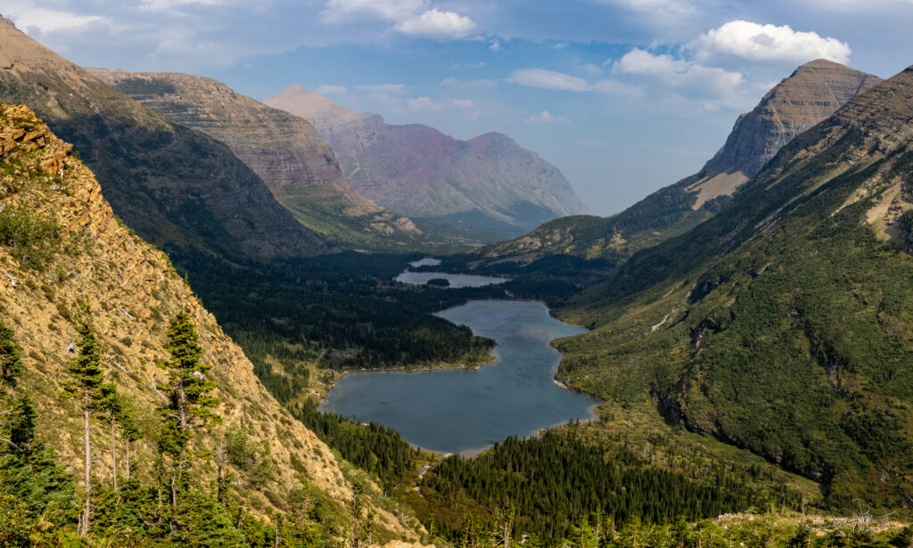
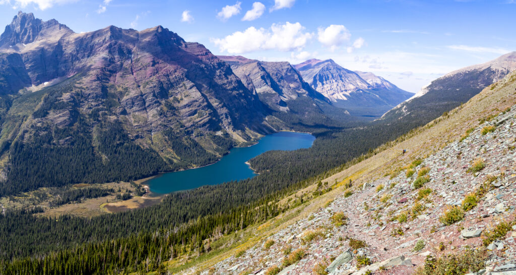
On the way to Many Glaciers – looking down Swiftcurrent Creek and all the lakes (Bullhead and other unnamed lakes)
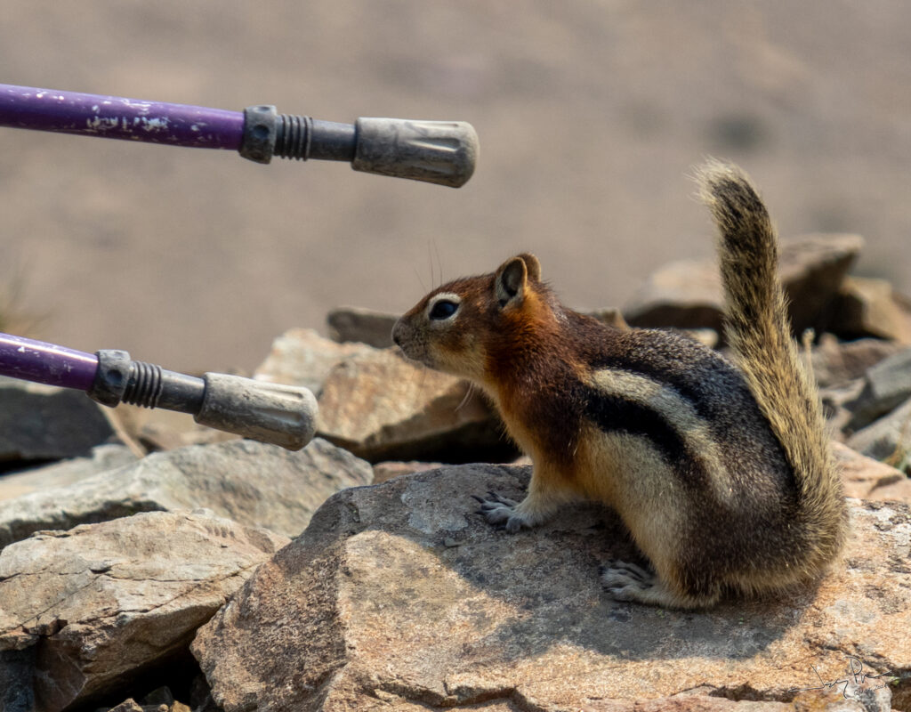
This squirrel was VERY aggressive in trying to get food.
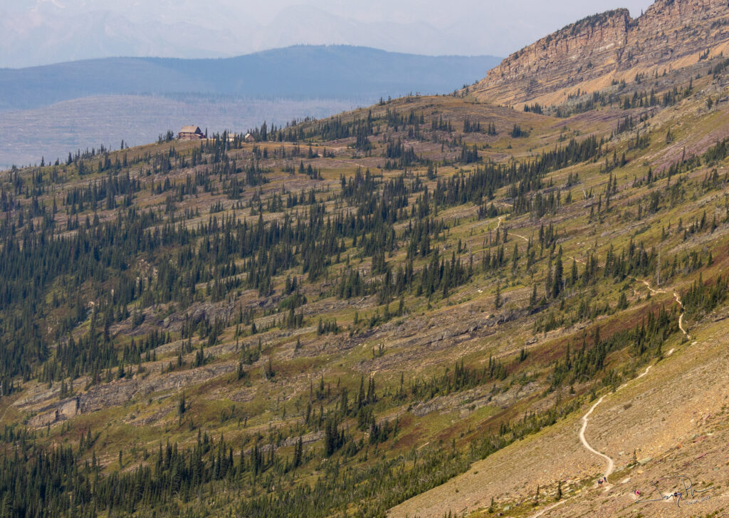
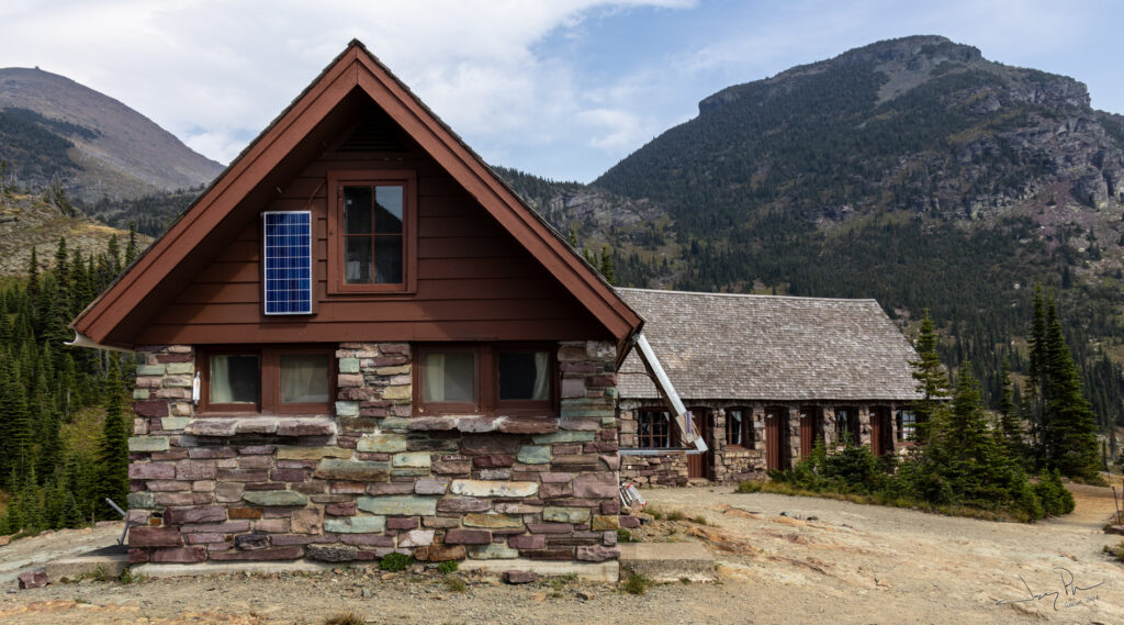
Our approach to Granite Park Chalet. The Chalet has rooms to rent (with advance planning – MONTHS ahead of time.)
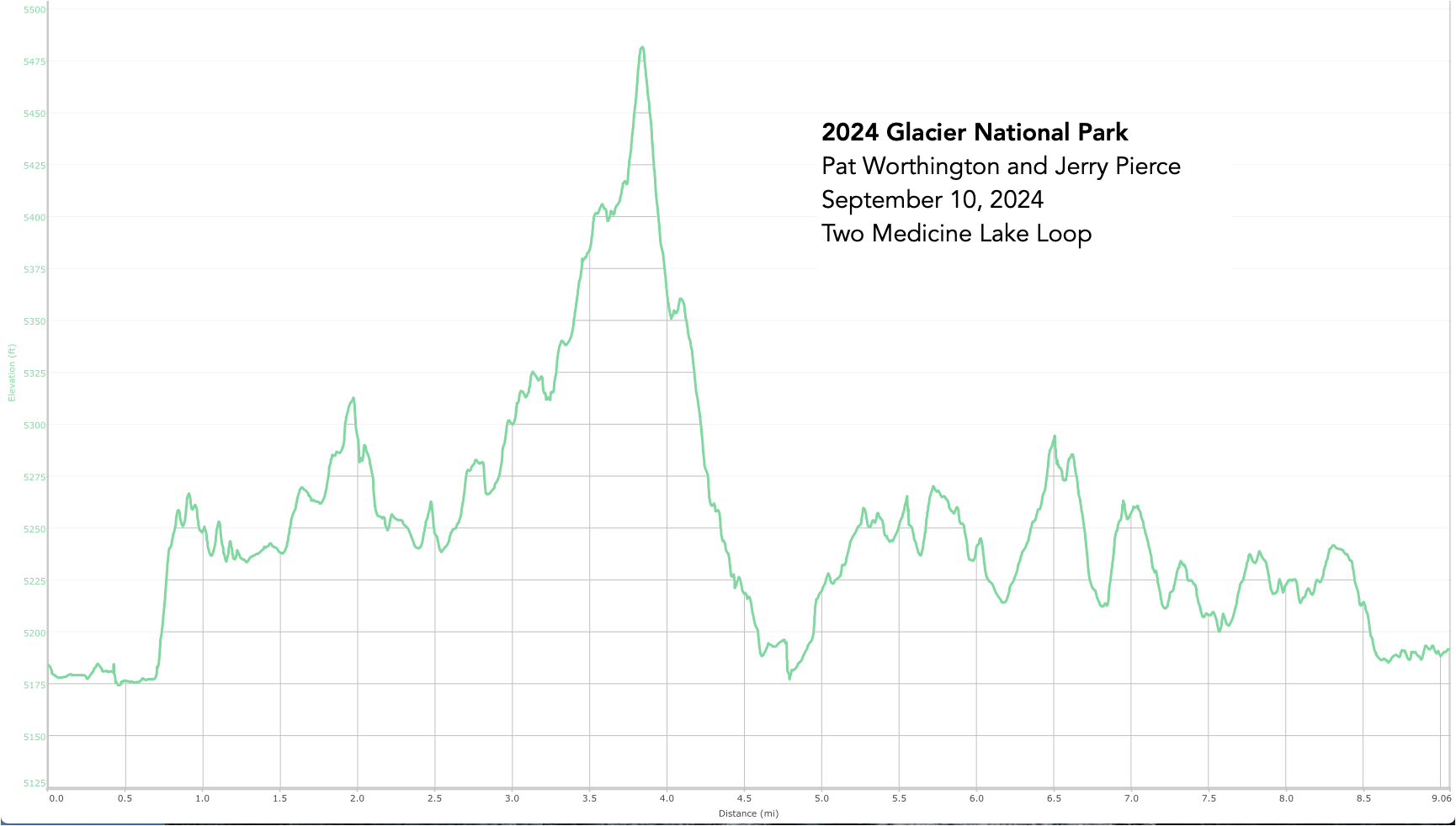
Day 7 – Day hike around Two Medicine Lake (9 miles) followed by a drive to Boise
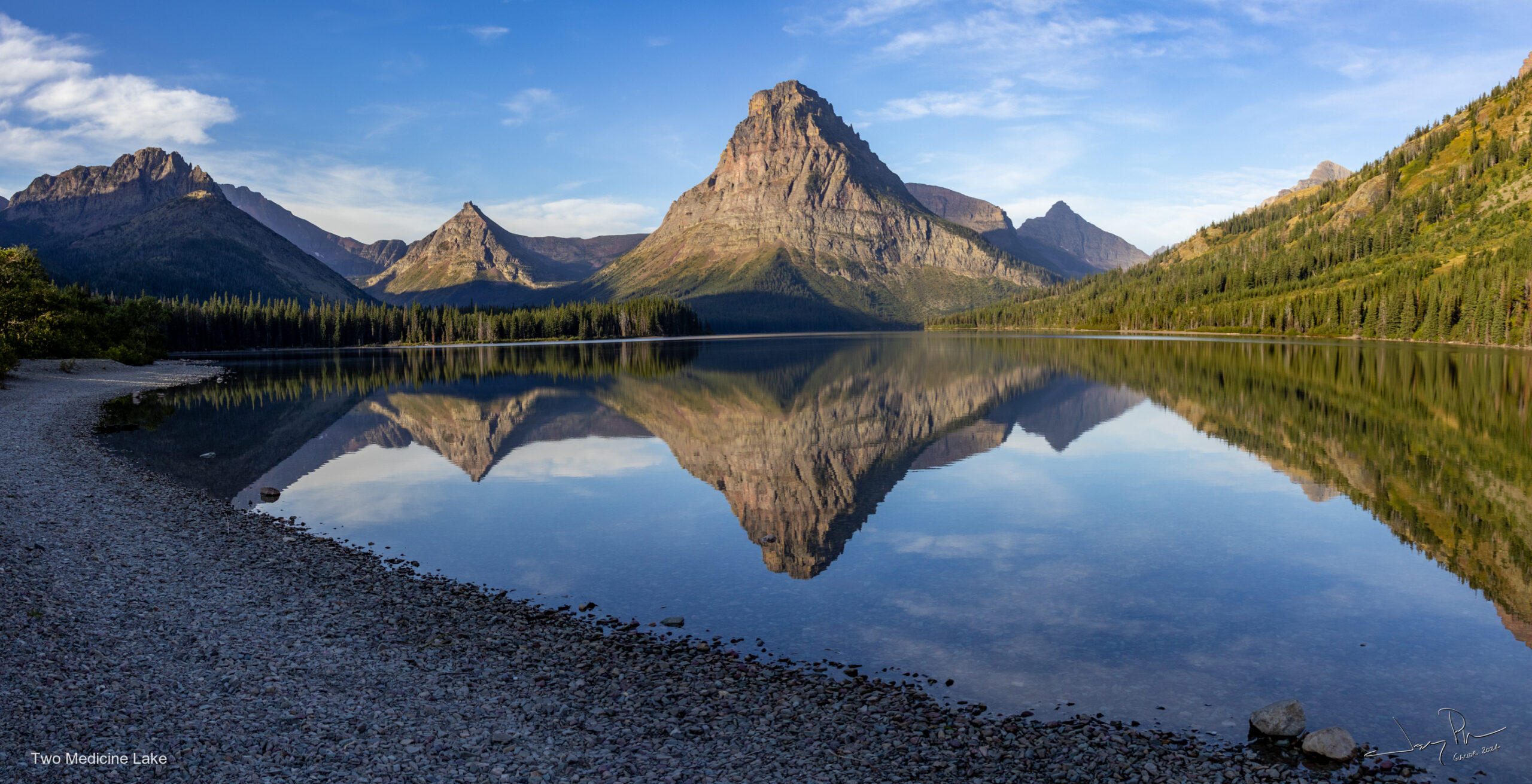
After our long day hike to Many Glaciers, we drove to East Glacier for a dinner followed by driving to Two Medicine campground where we had a reservation for a campsite. We arrived late (8pm?) in the dark, found our spot and set up camp. The next morning was beautiful – what a difference a day makes! Clear. We decided to do the short loop and just go around the lake.
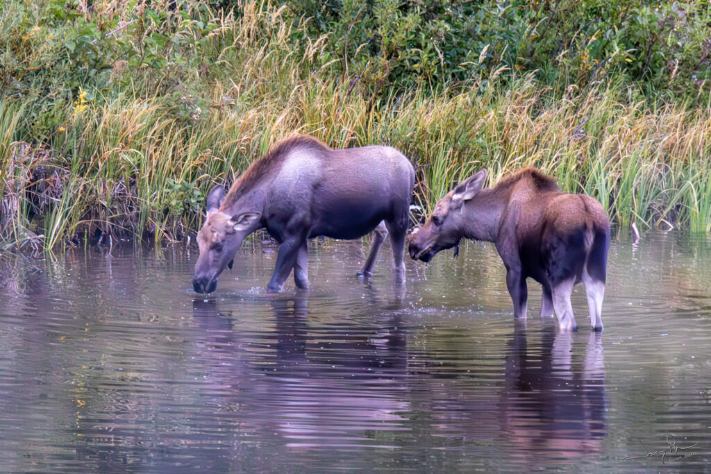
We finally saw some moose in a pond next to the campground.
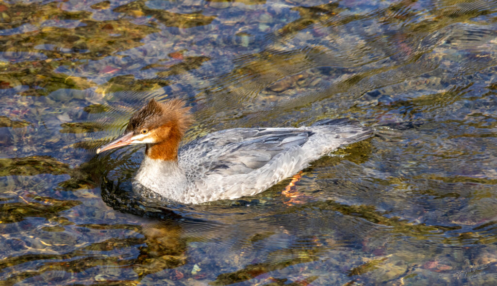
And a stranded duck. Well sort of stranded – it took off just after this picture and went to join the others.
