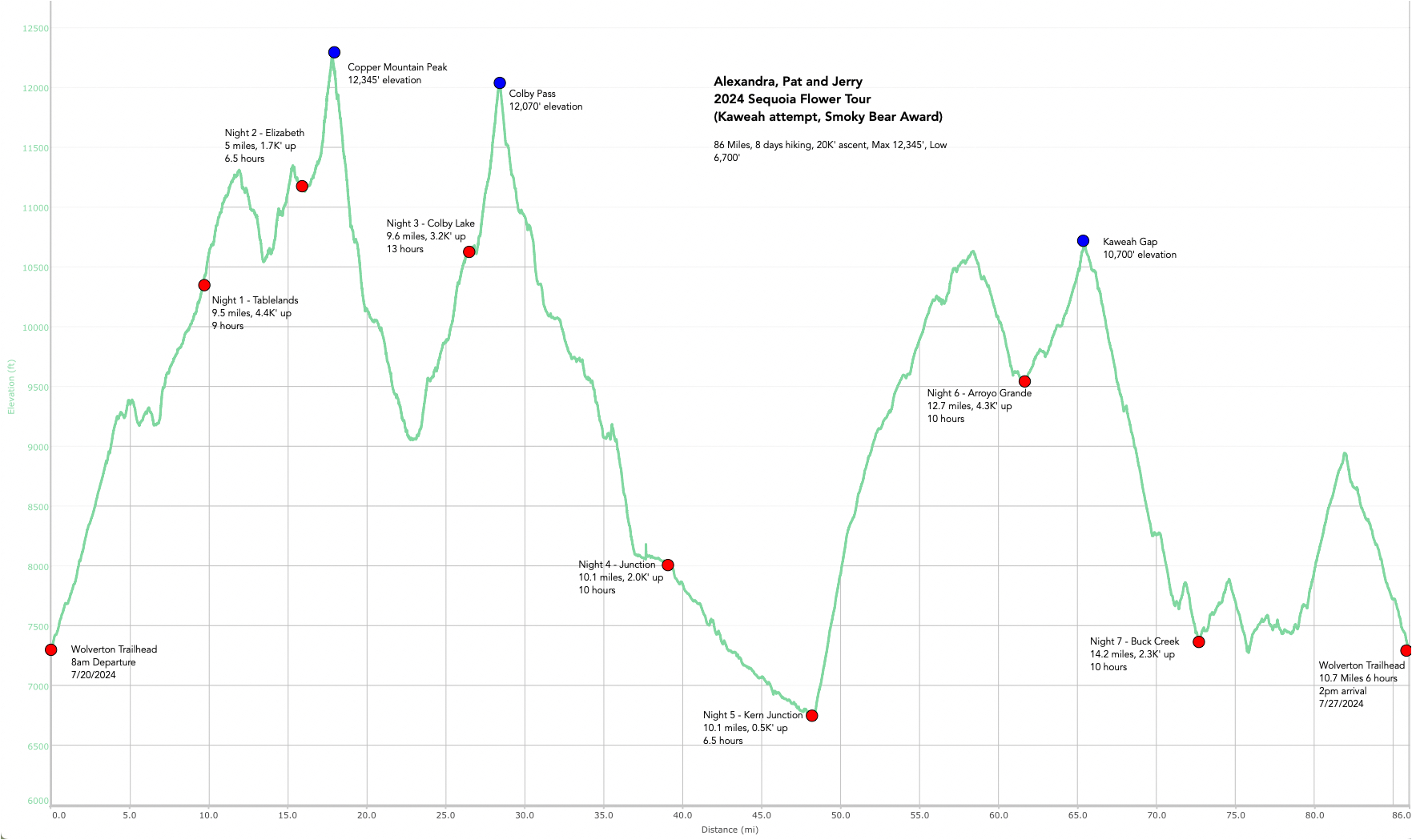
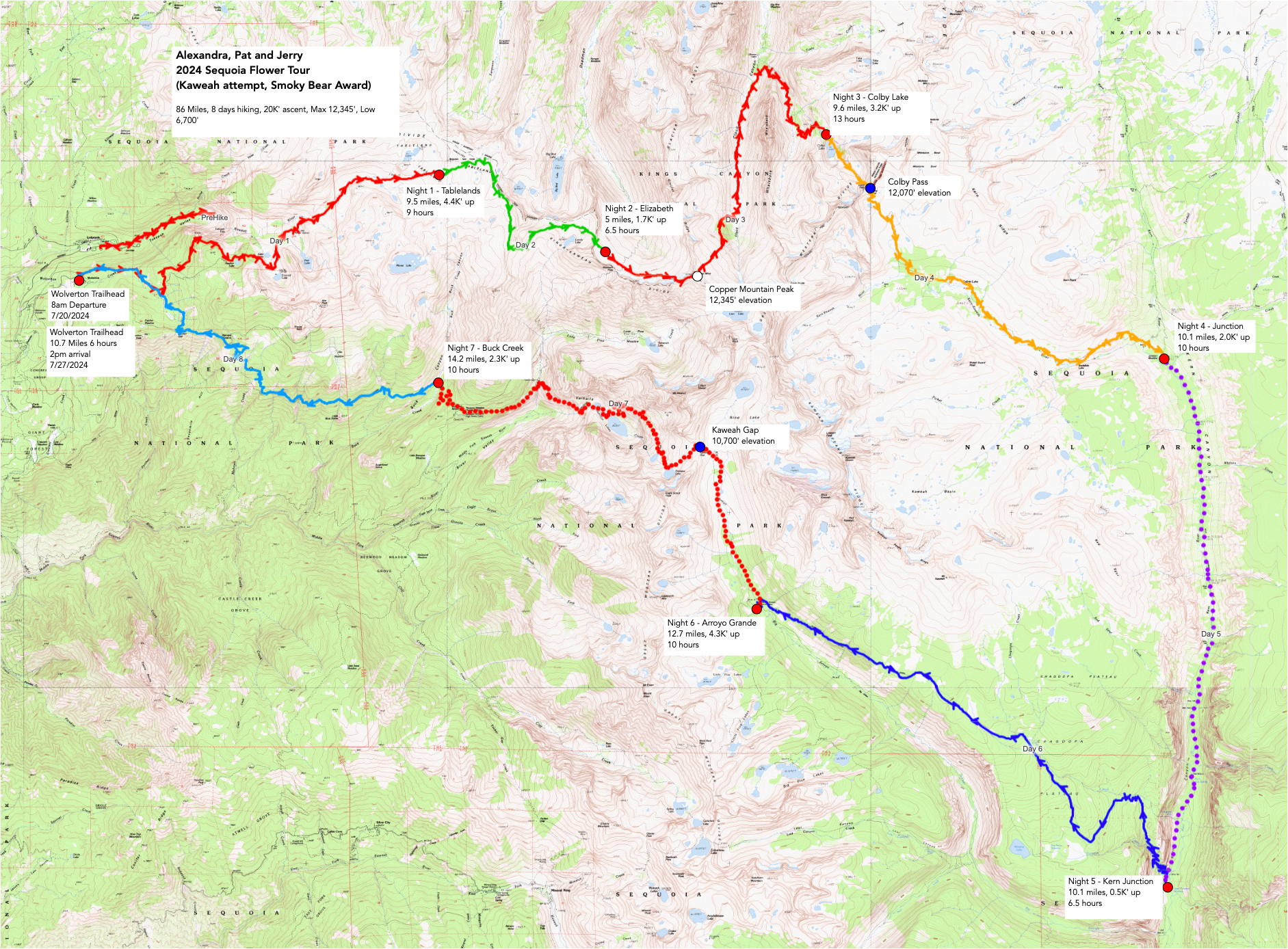
Our first real hike of the season. We wanted to try a few class 2 passes and a challenging route to get into Kaweah Basin – we didn’t make it, but it ended up an adventure!! Jerry got sick (Giardia?) and we had to call for SOS help when we came across a campfire that was spreading.
We had a “Fire Adventure” at Arroyo Grande. Go HERE for a description.
Our adventure was planned by Alexandra – the goal was to make it into Kaweah Basin. The first time we tried, we did “Pants Pass” a very challenging entrance via 9 lakes basin, but we fell short. Then Pat, Scott and Jerry MADE IT! with an East side entry. We wanted to go again! The snow looked good, the plans were in place. So close.
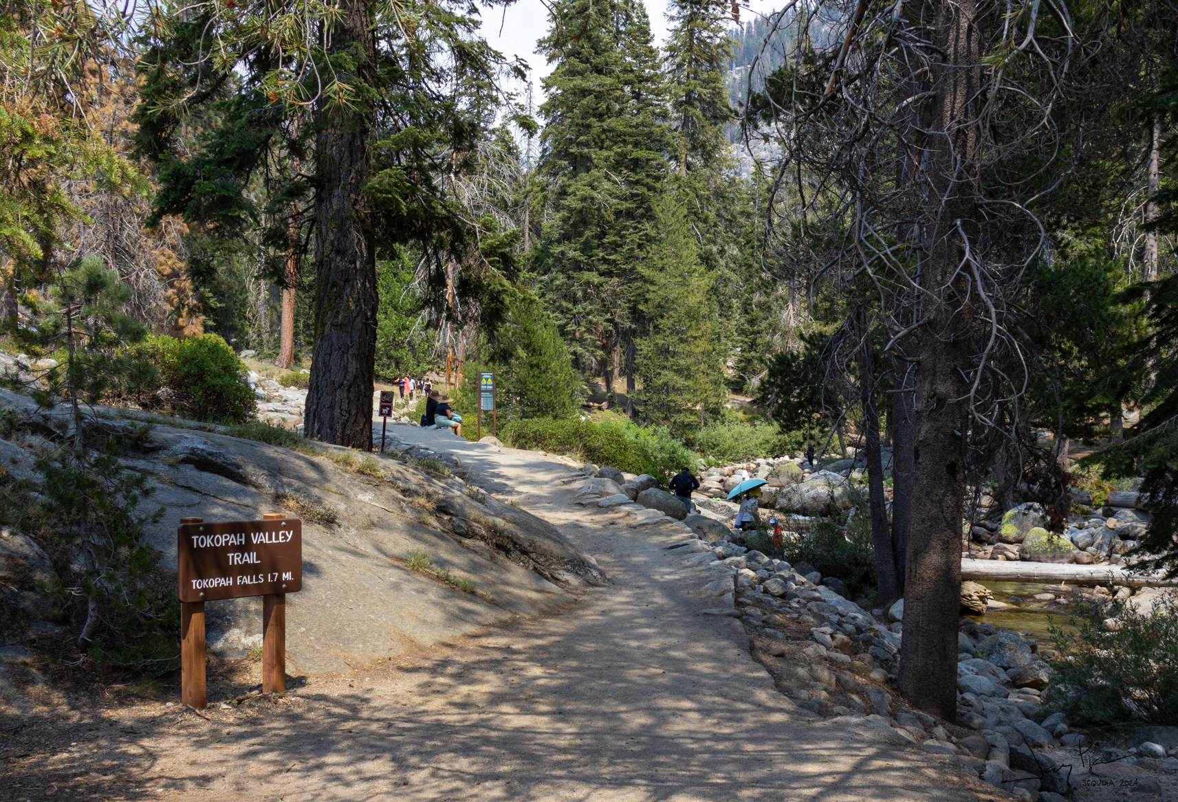
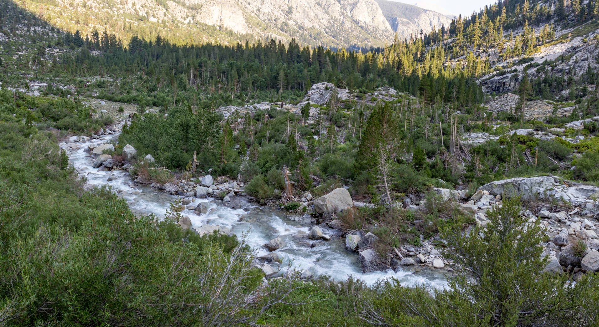
We arrived a day early to pick up our permit and spent the night at Lodgepole Campground. We did the short (5 mile) walk up to Tokopah Falls with the people-watching friendly trail.
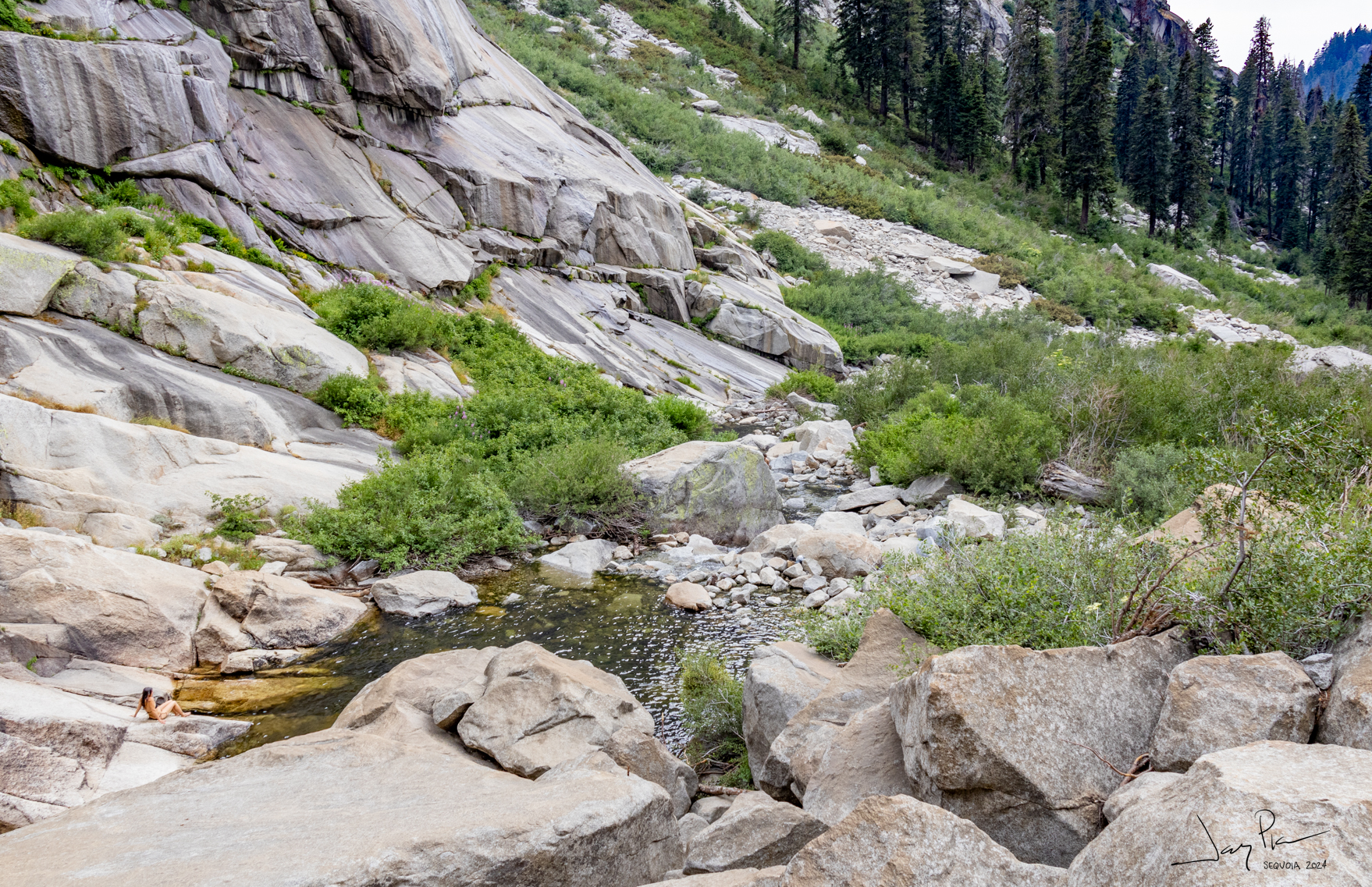
The swimming hole at the falls
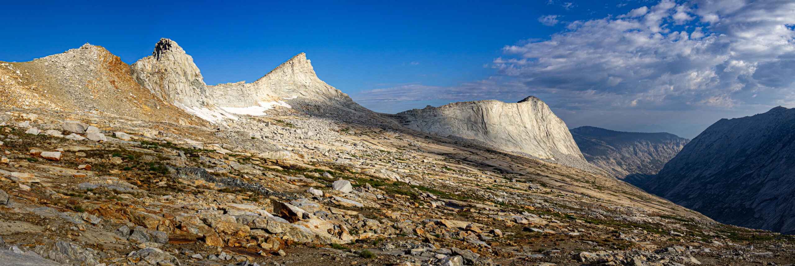
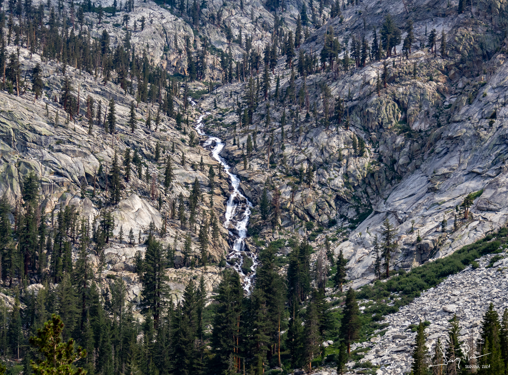
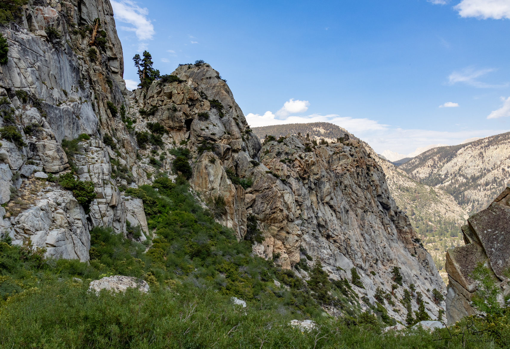
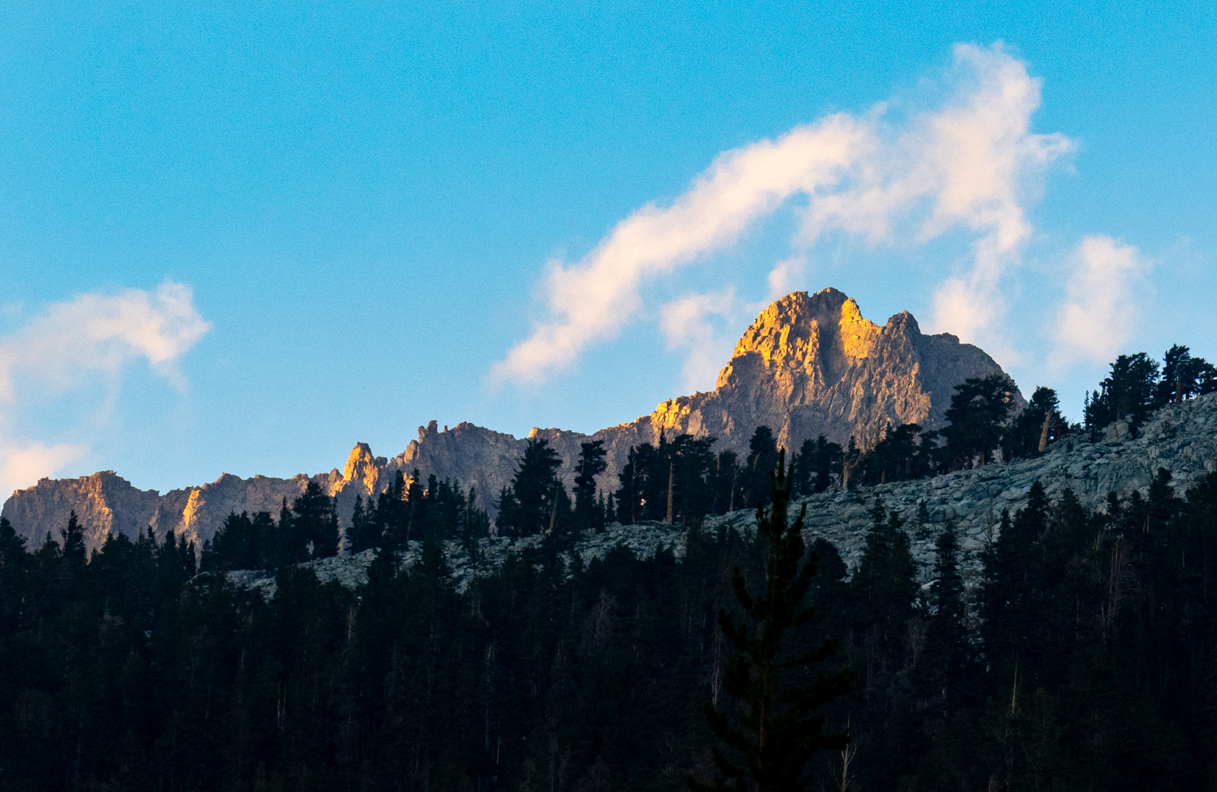
Looking up at The Watchtower – we would be walking next to it next morning
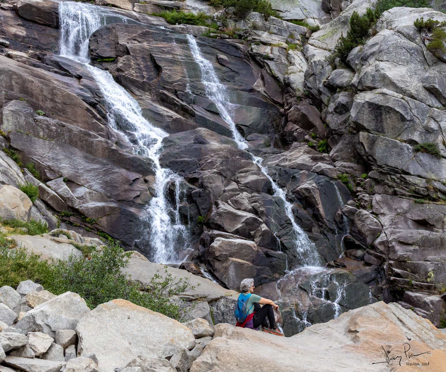
The base of the falls
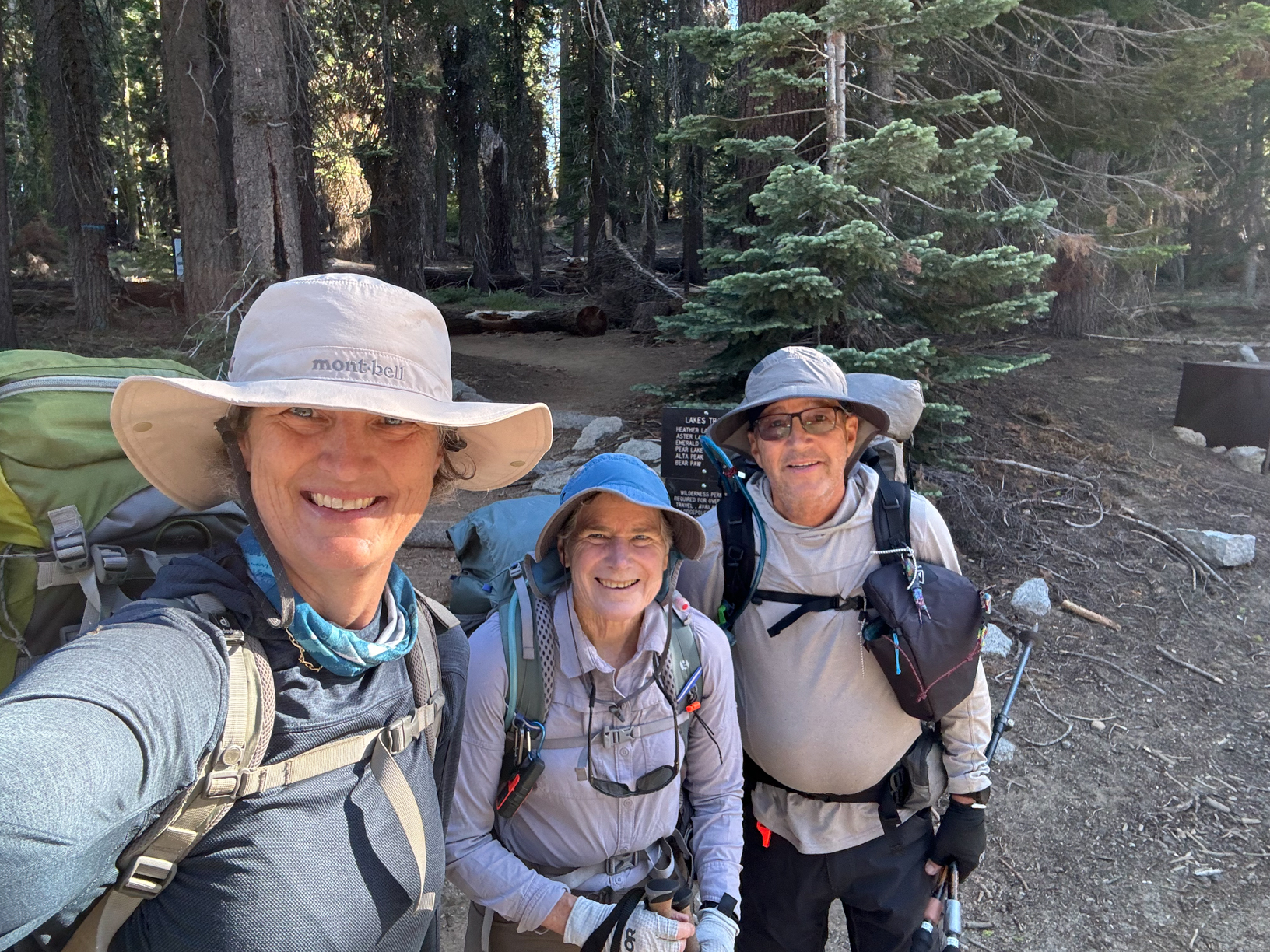
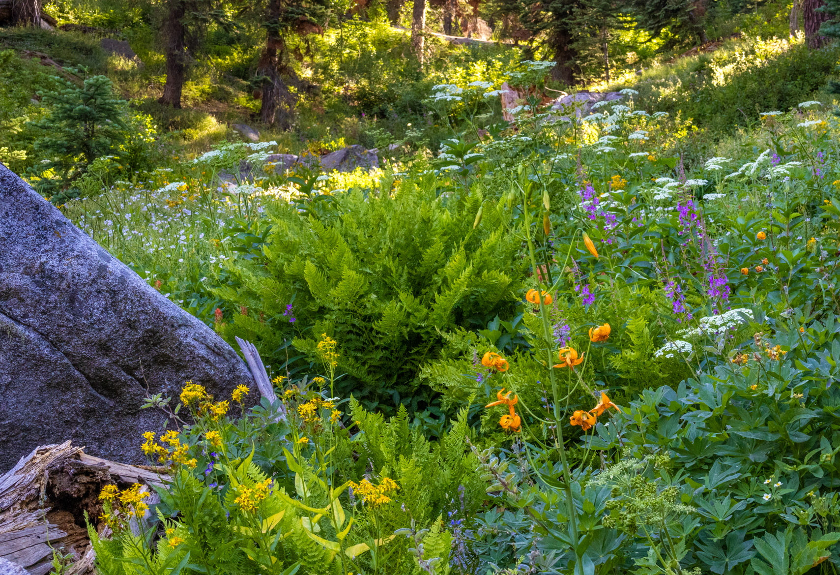
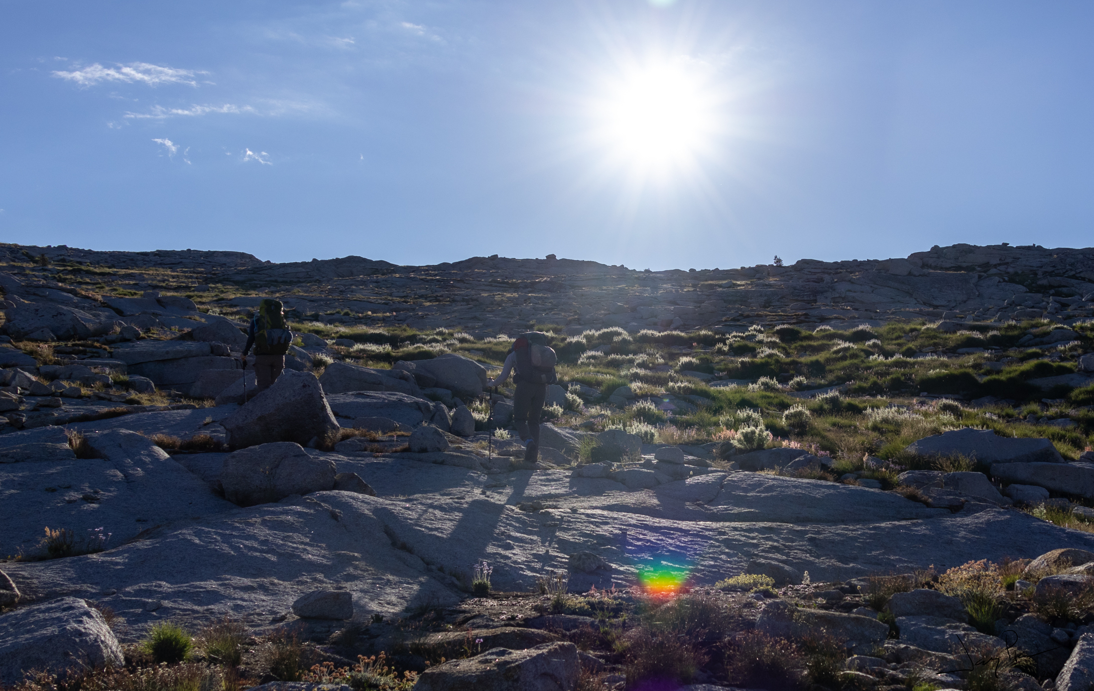
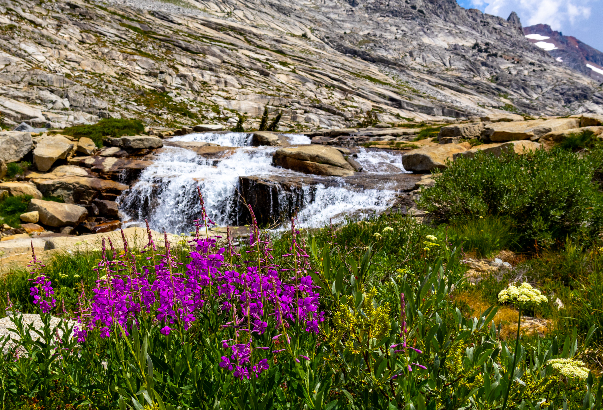
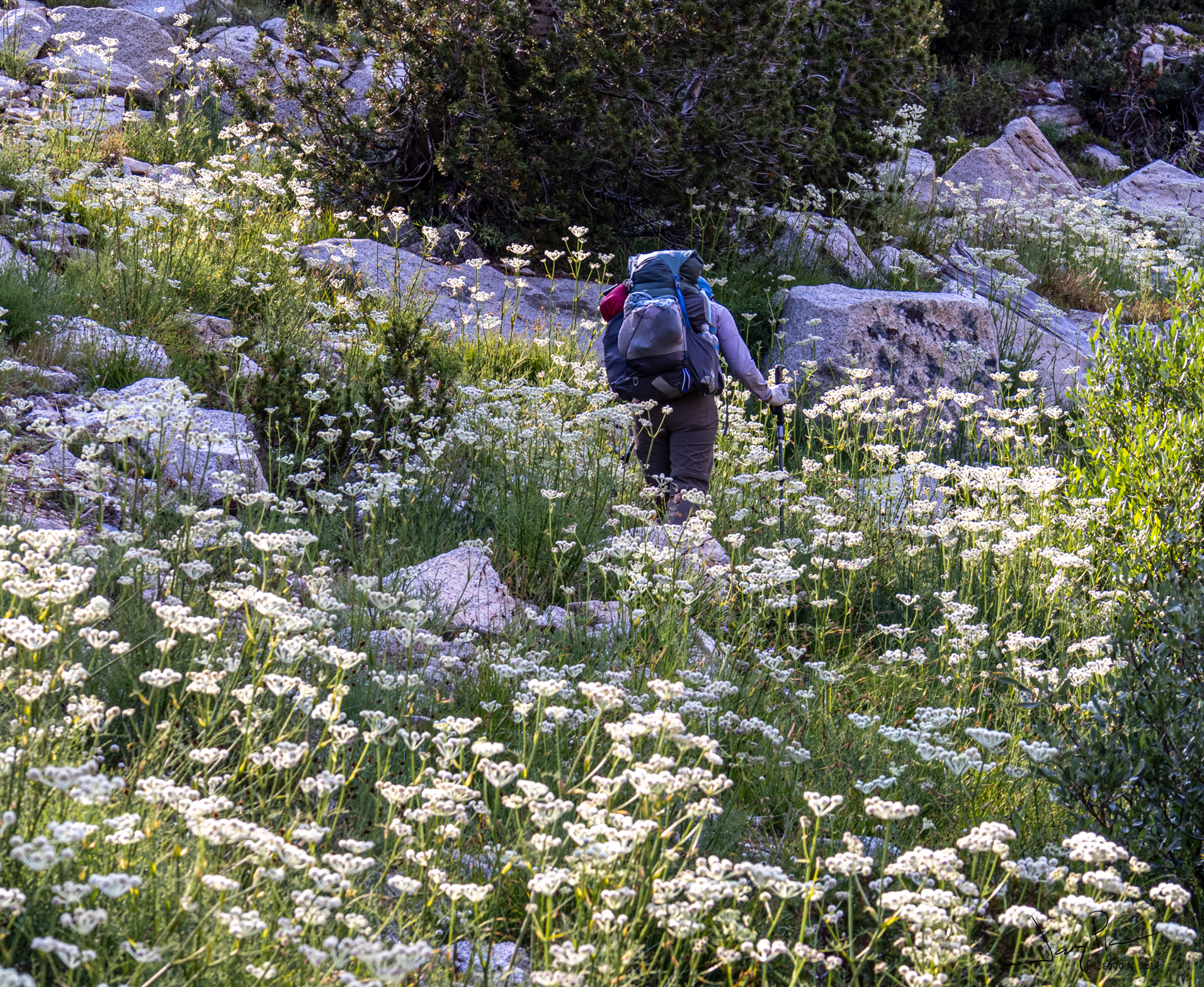
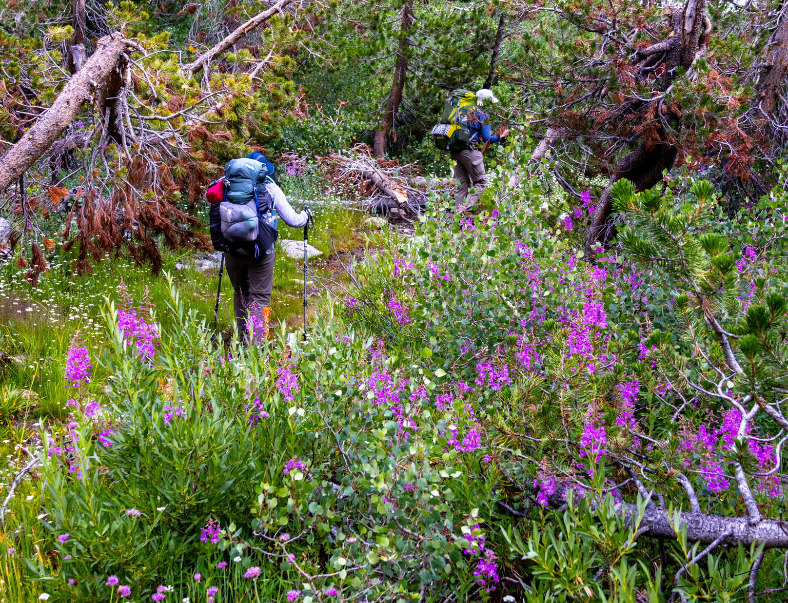
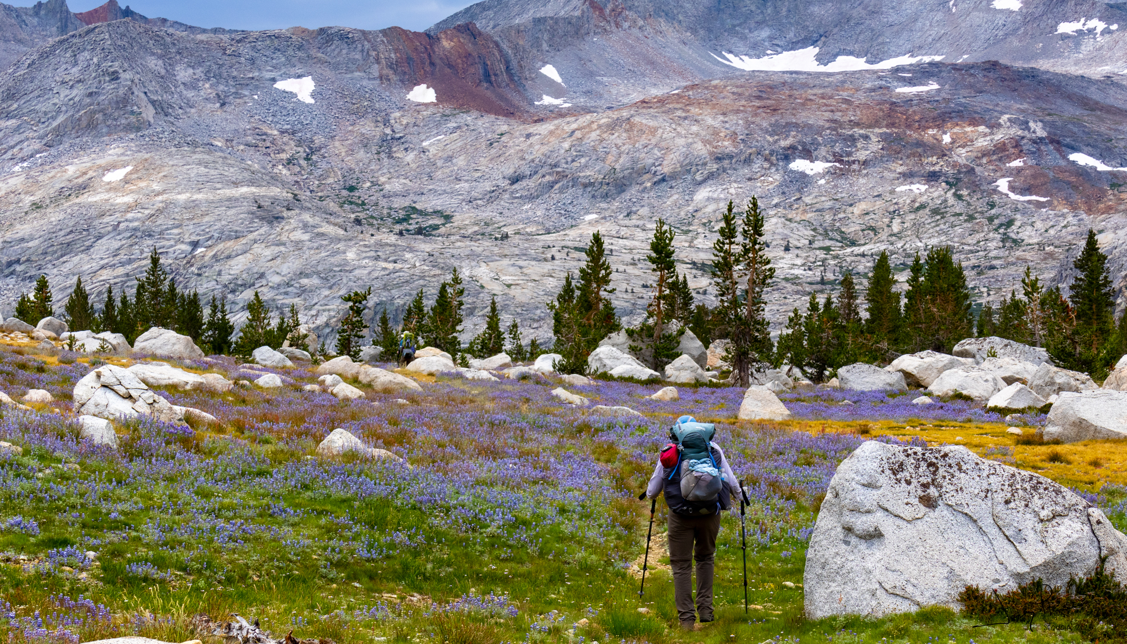
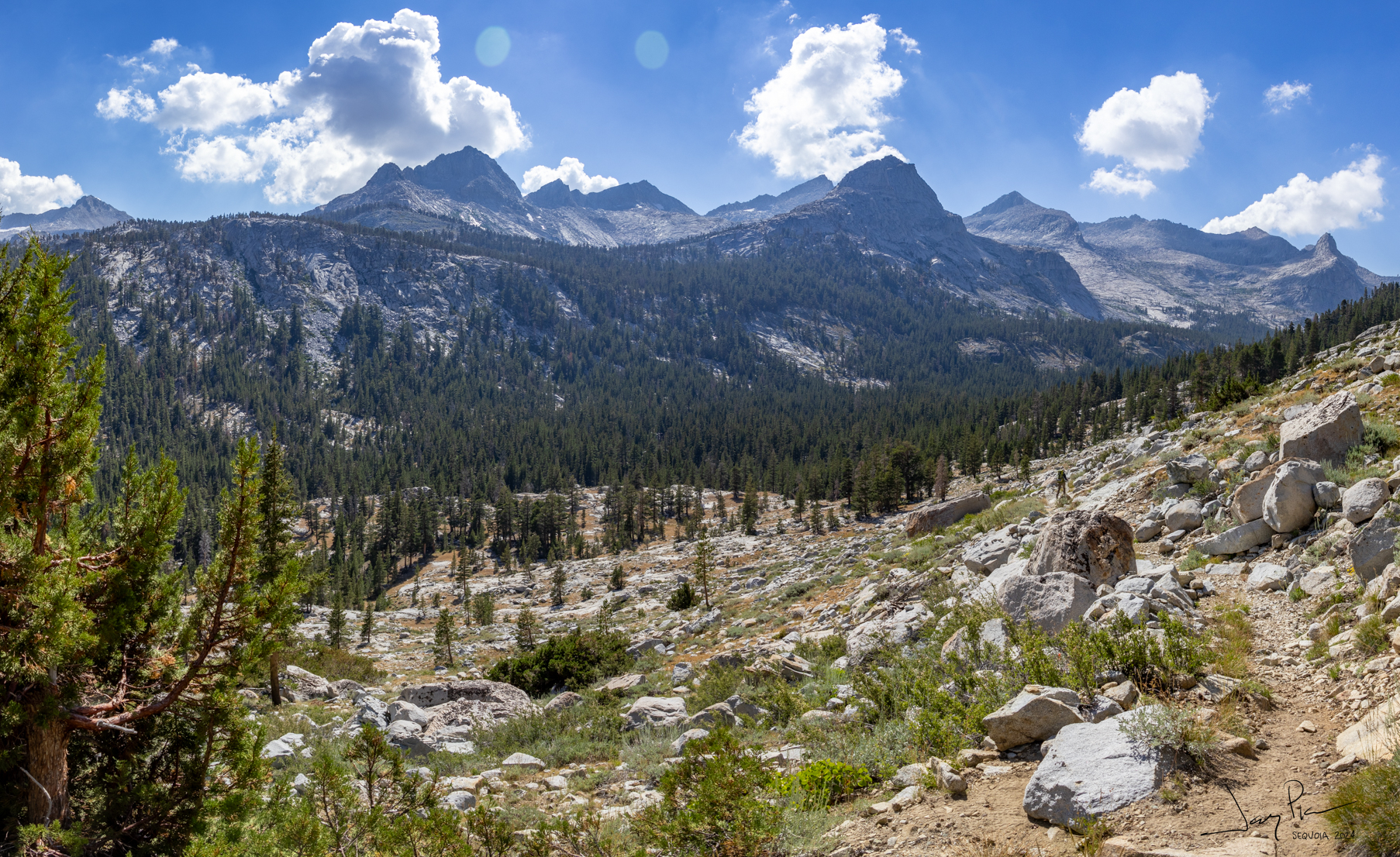
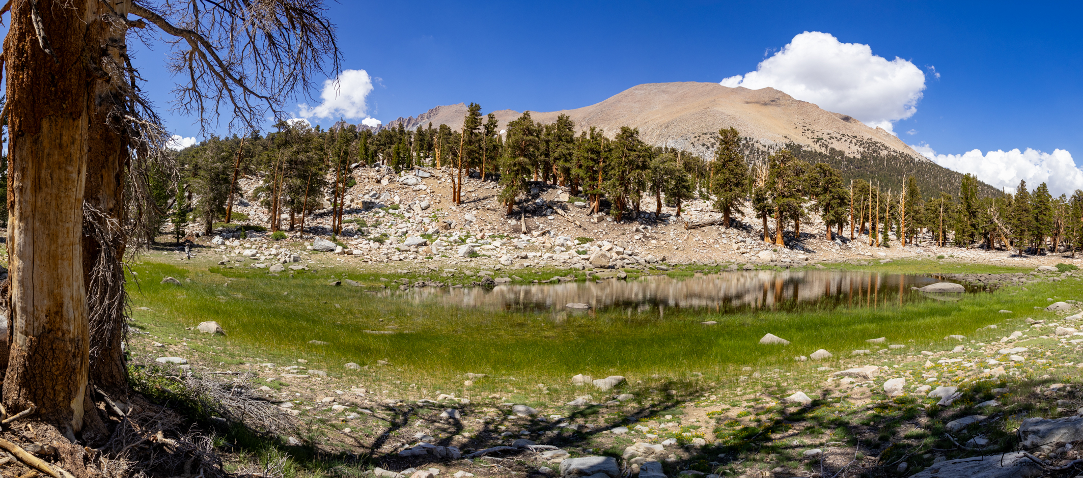
Our route left the Wolverton Trailhead and went up to Tablelands. We discovered that end of July was (in fact) a beautiful time for flowers in the Sierra!
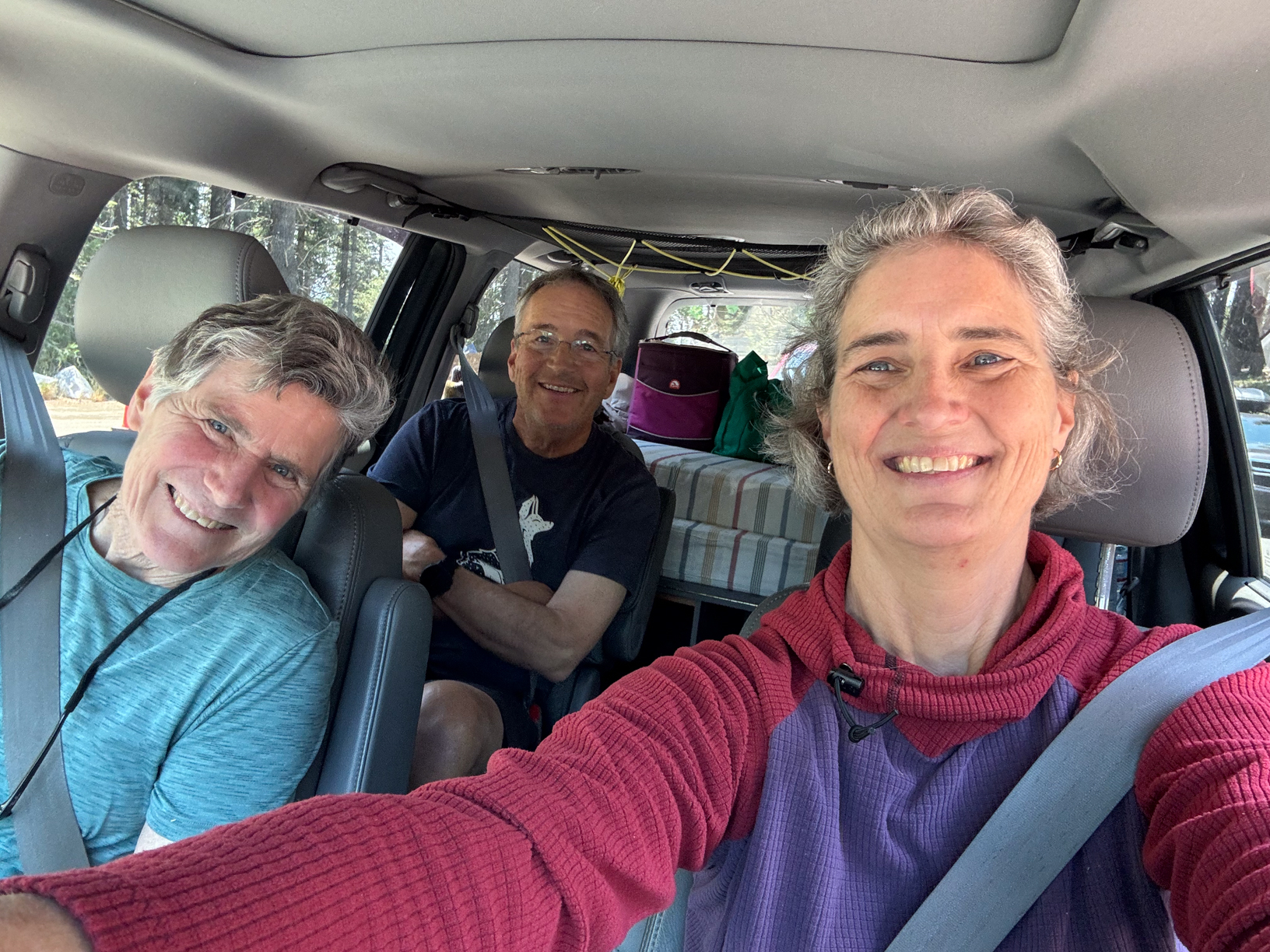
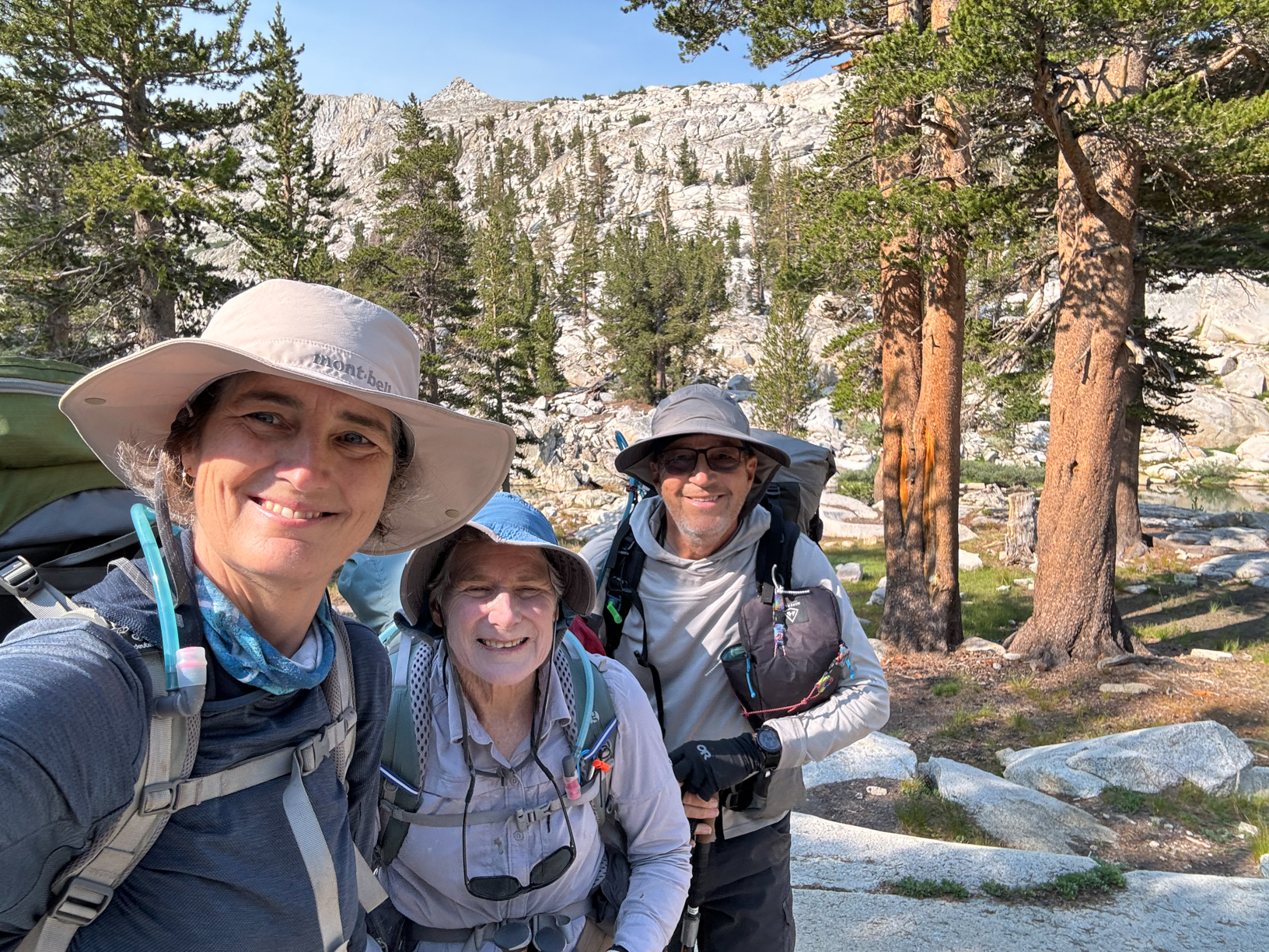
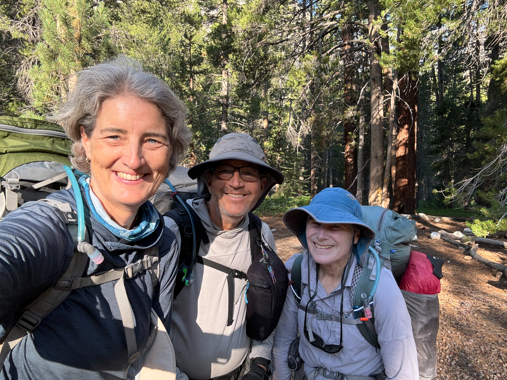
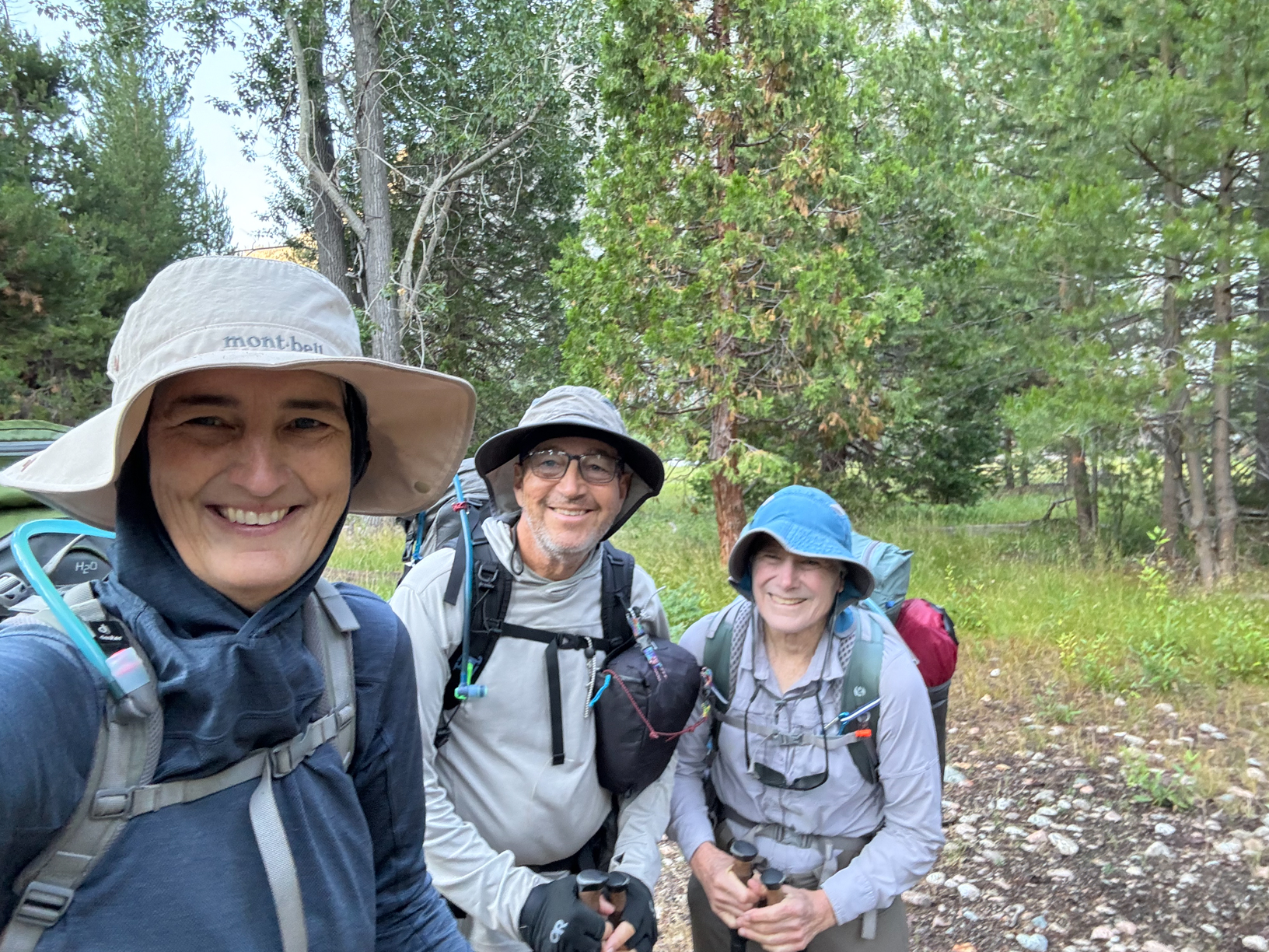
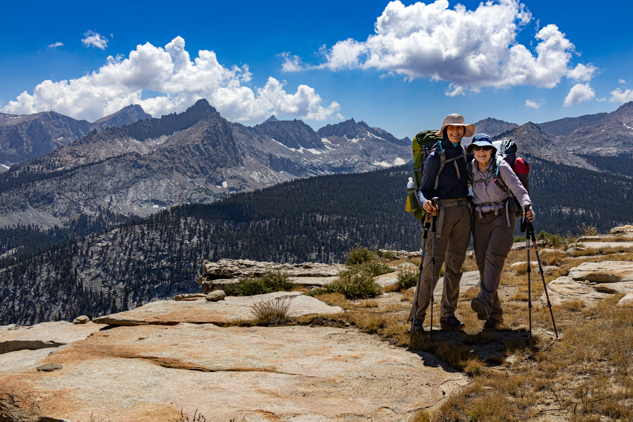
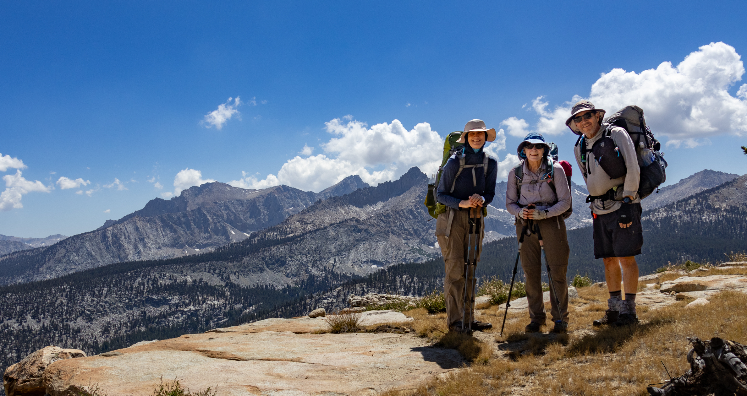
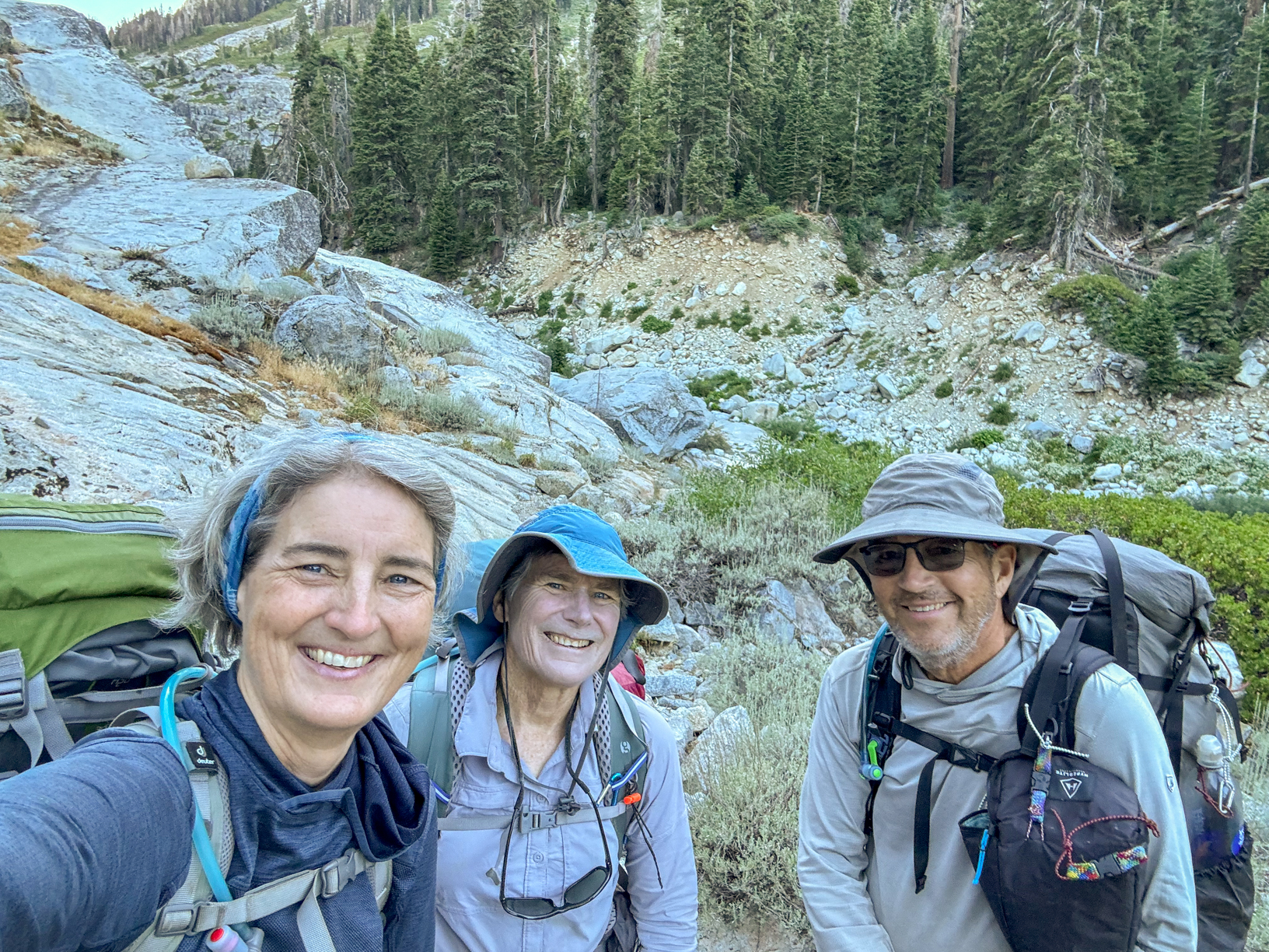
And we are off… Alexandra took a selfie each day as we hit the trail. I think she was just making sure we all made it!
Gotta look stylish – keep those triangle arms!
Did I mention that the flowers were spectacular?
We walked past and then back to look at The Watchtower from a different angle.
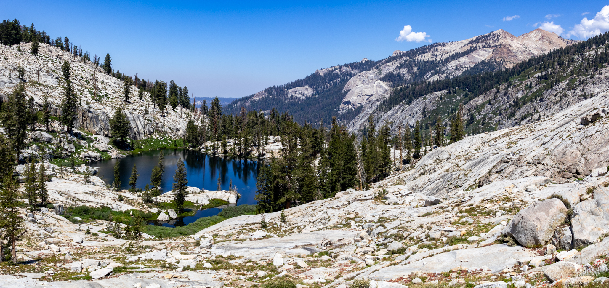
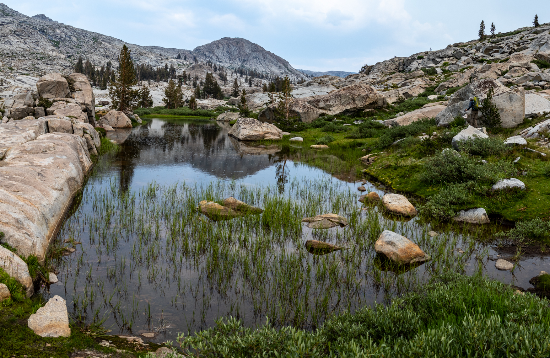
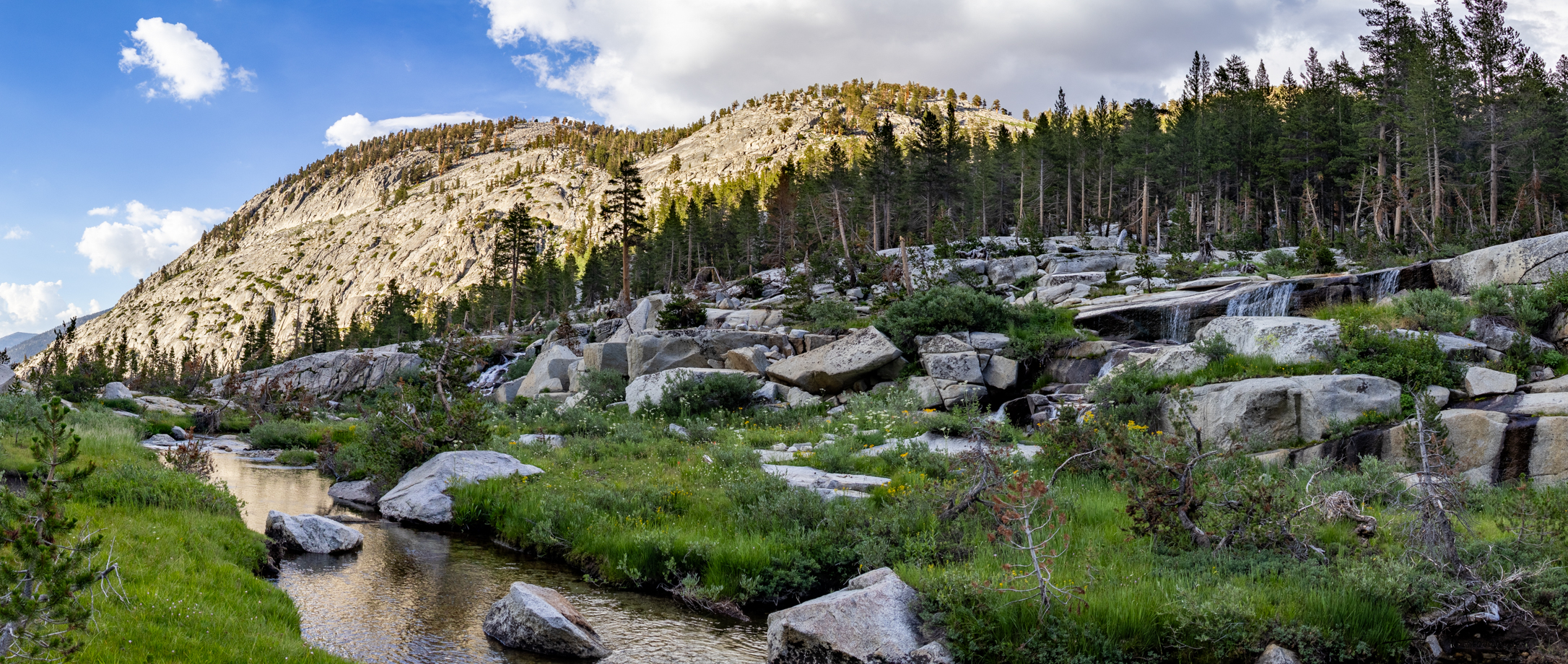
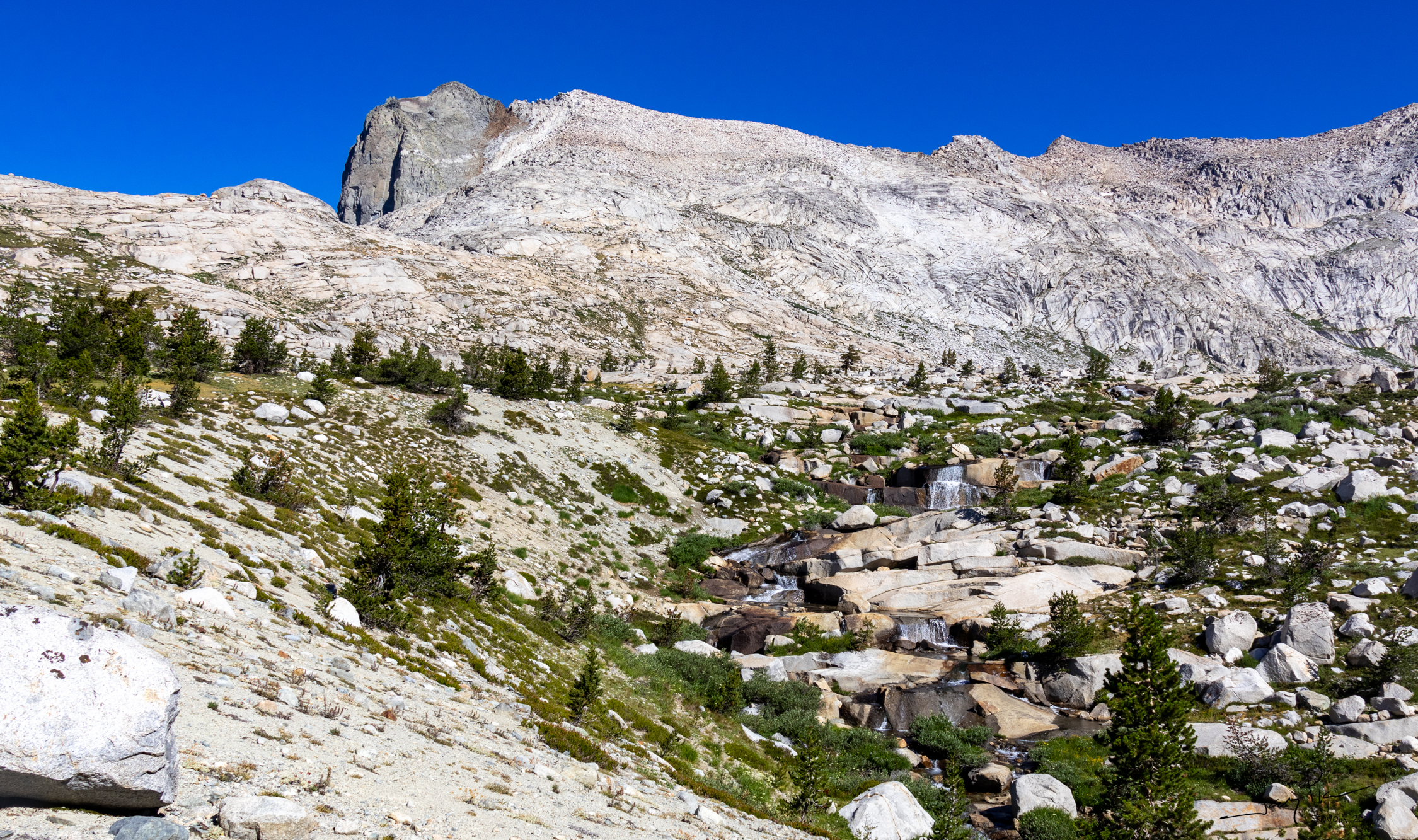
There is a string of lakes on the way to the Tablelands
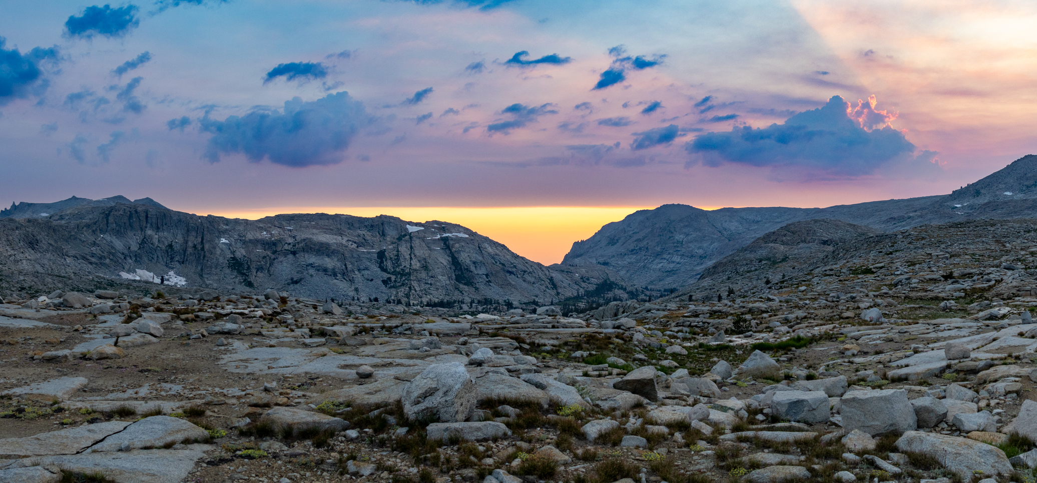
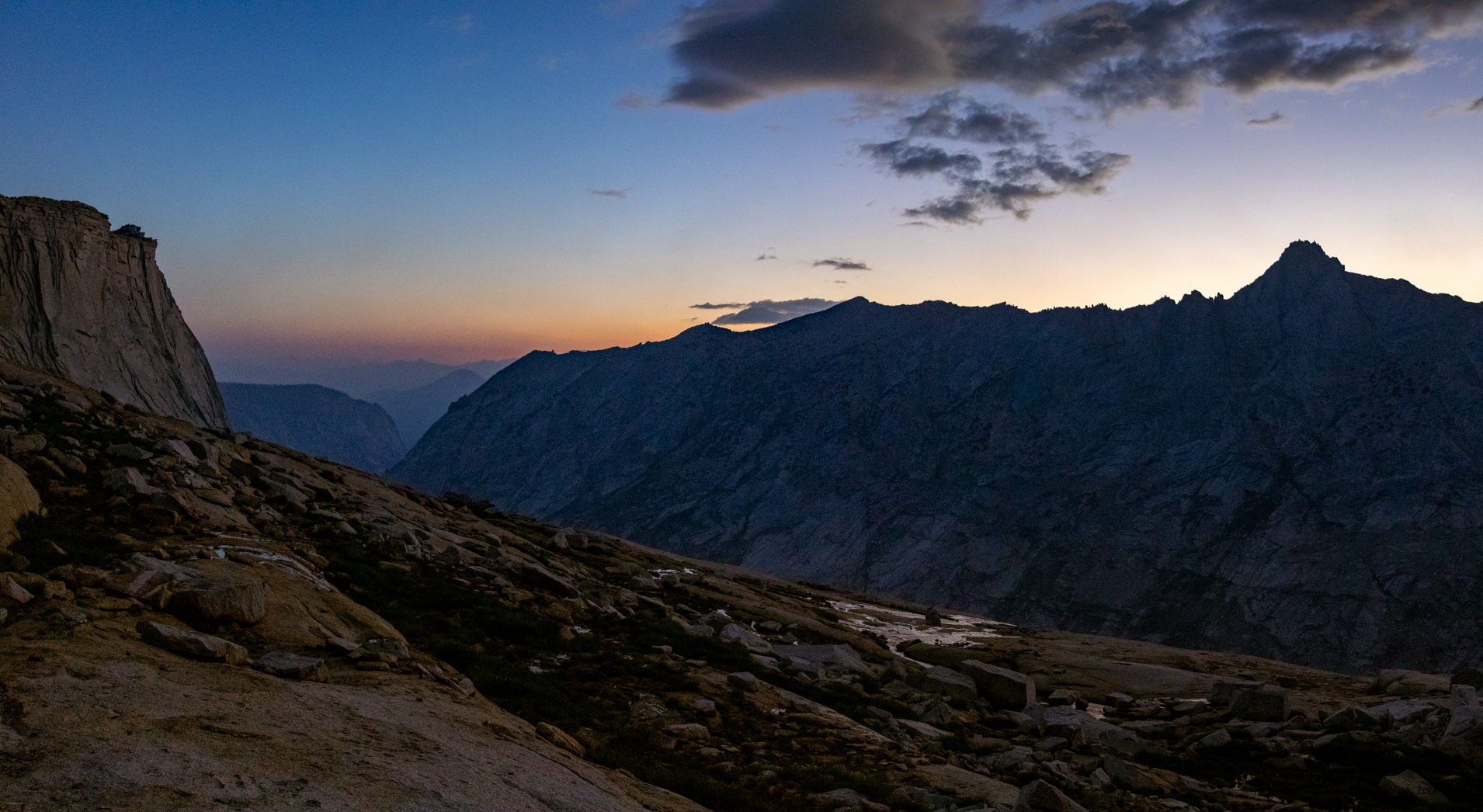
While we didn’t have much smoke, we could see the how the inversion layer was hiding sunset
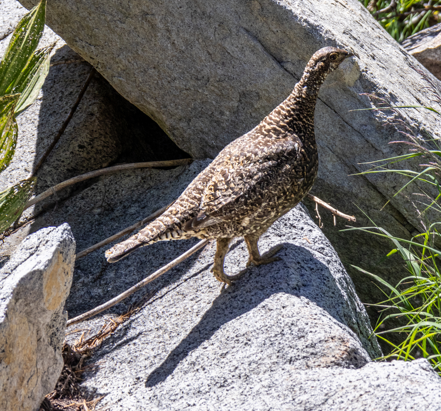
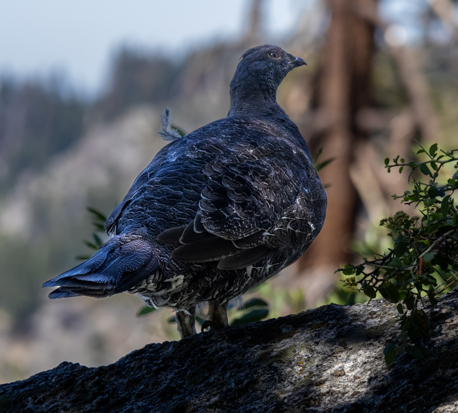
Grouse birds … dumbest birds on the planet.
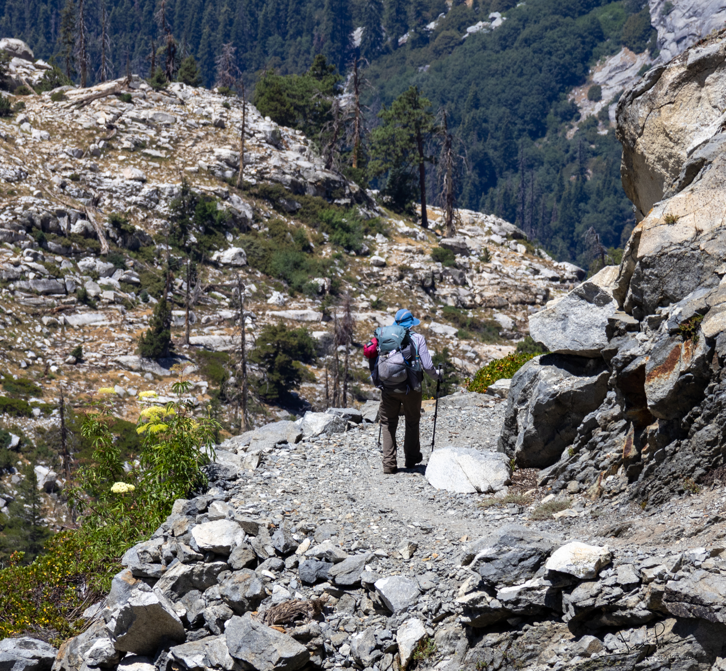
We get deep in the tablelands … running on empty. Lots of miles and elevation gain (with full packs – mine was 38 pounds)
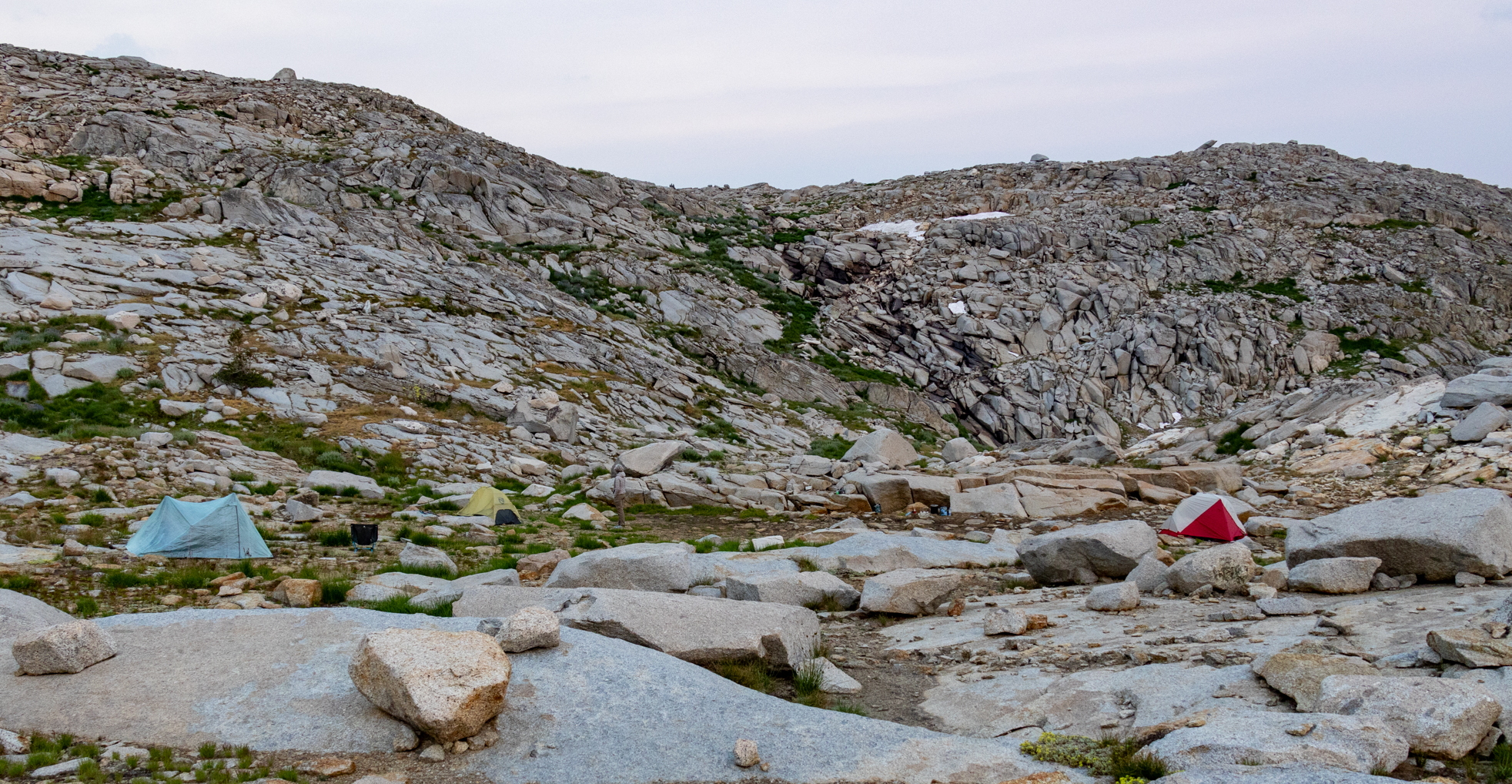
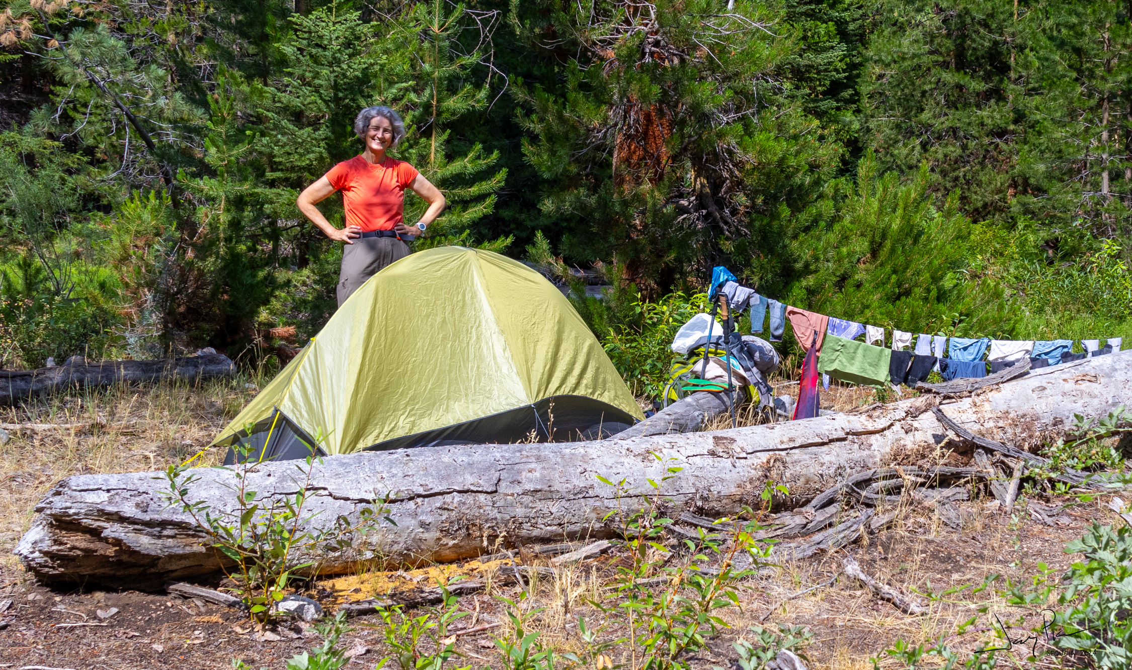
We set up a delightful camp near a small stream. Testing out new tents for Alexandra and Jerry and a bunch of new equipment for all.
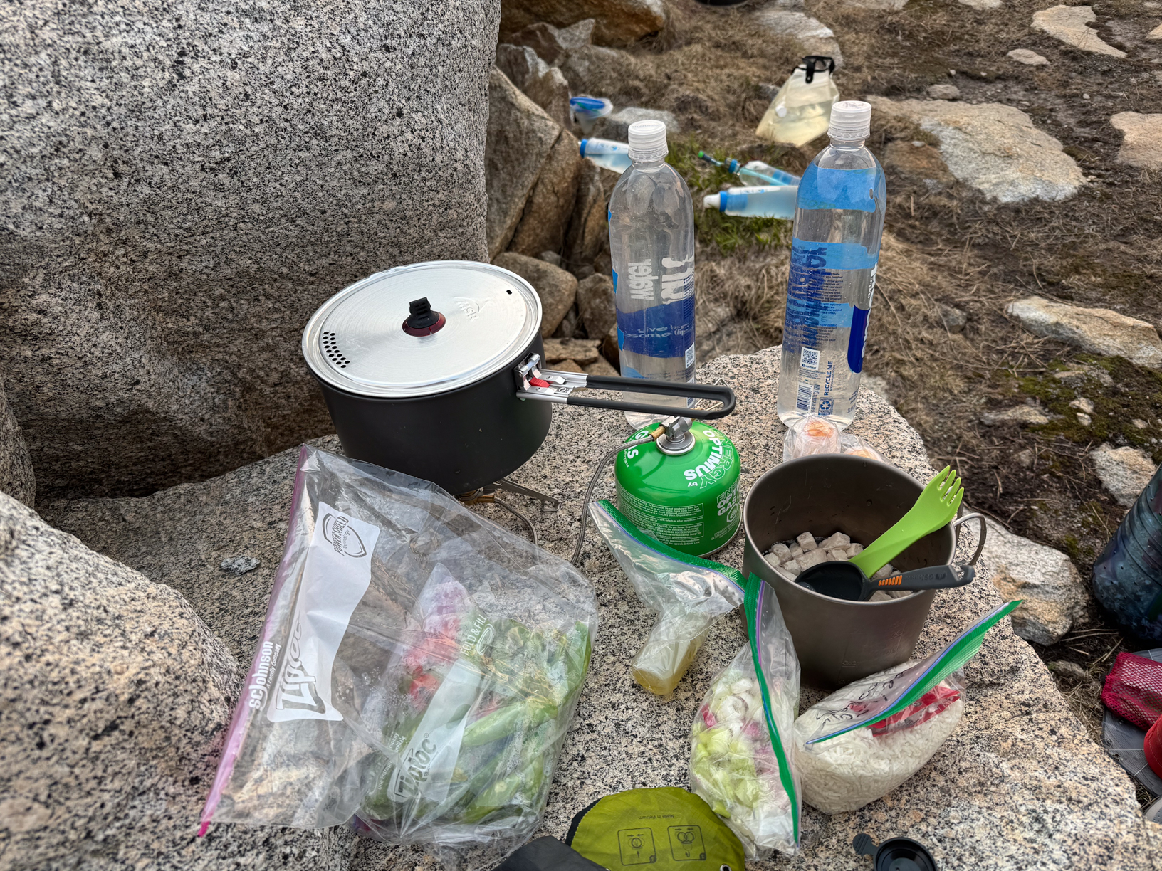
Our first meal – so many fresh veggies!!
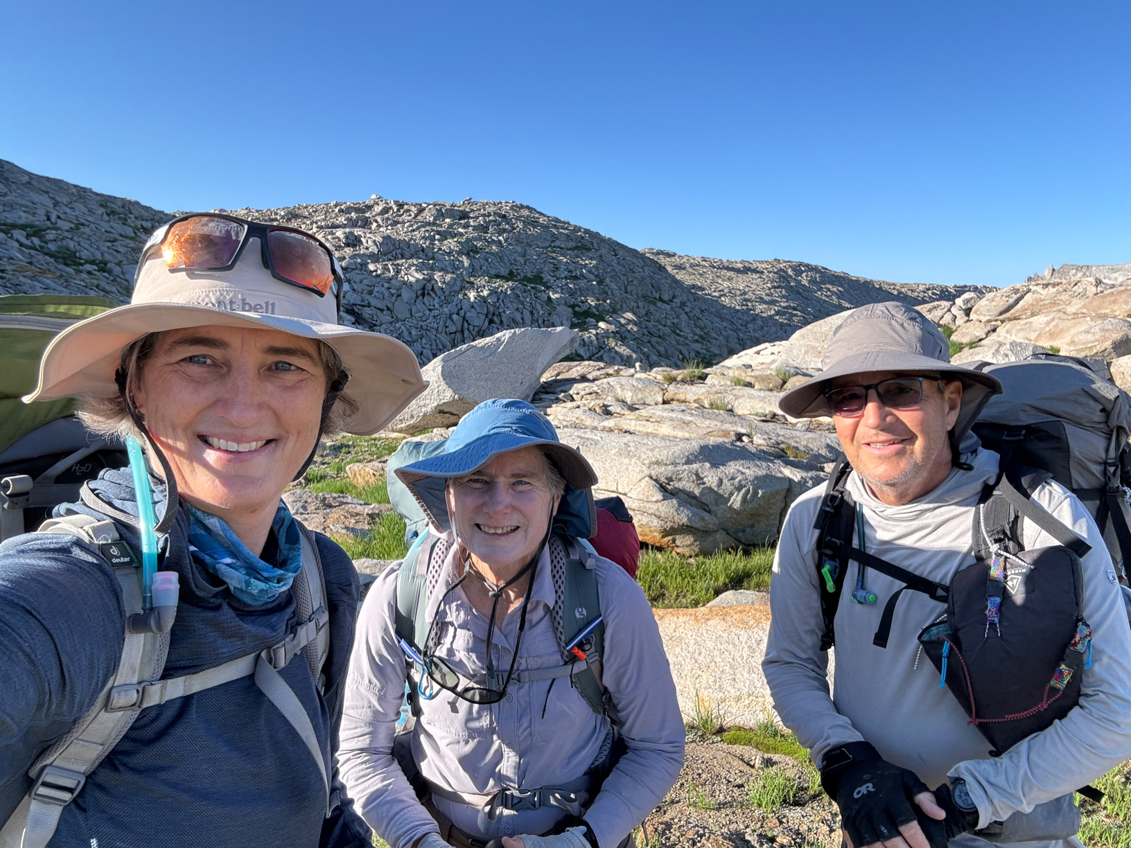
Day 2 selfie!
You get a sense of why it’s called TableLands! So flat.
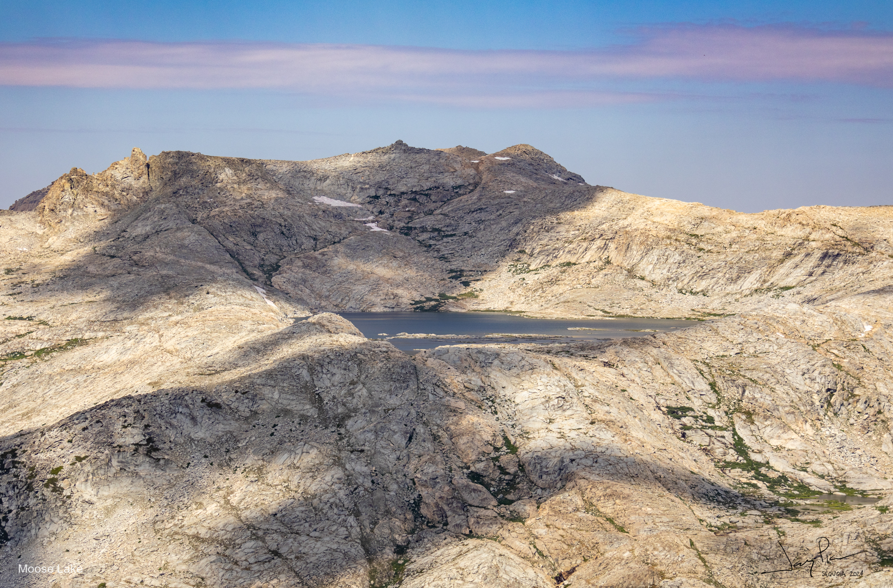
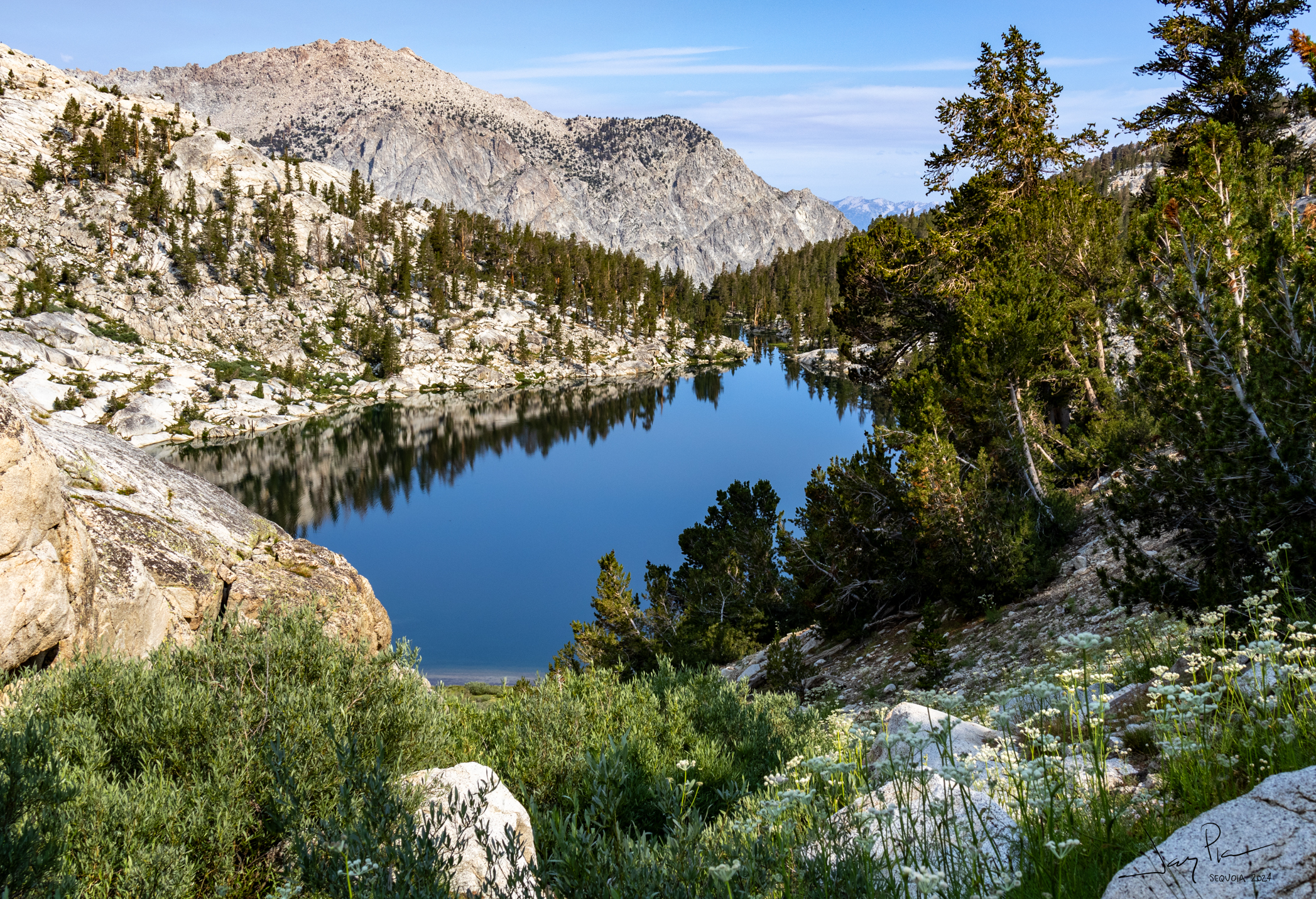
Looking over at Moose Lake
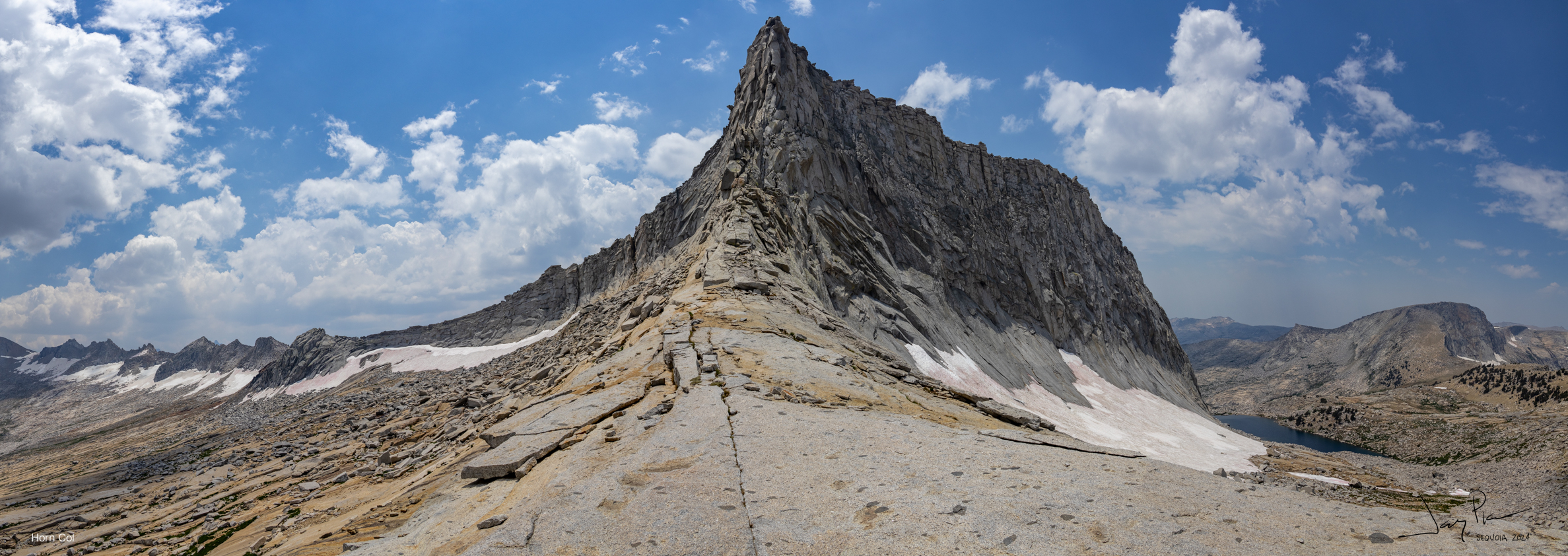
We head up to “top of the world” and heading to Horn Col above lonely lake. A delightedly clear morning.
At the top of the world
Crossing Horn Col
Is this a Lion? A Bear? It watched over us.
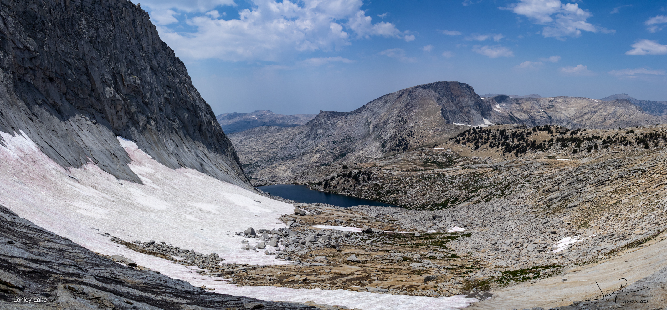
From Horn Col looking down at Lonely Lake
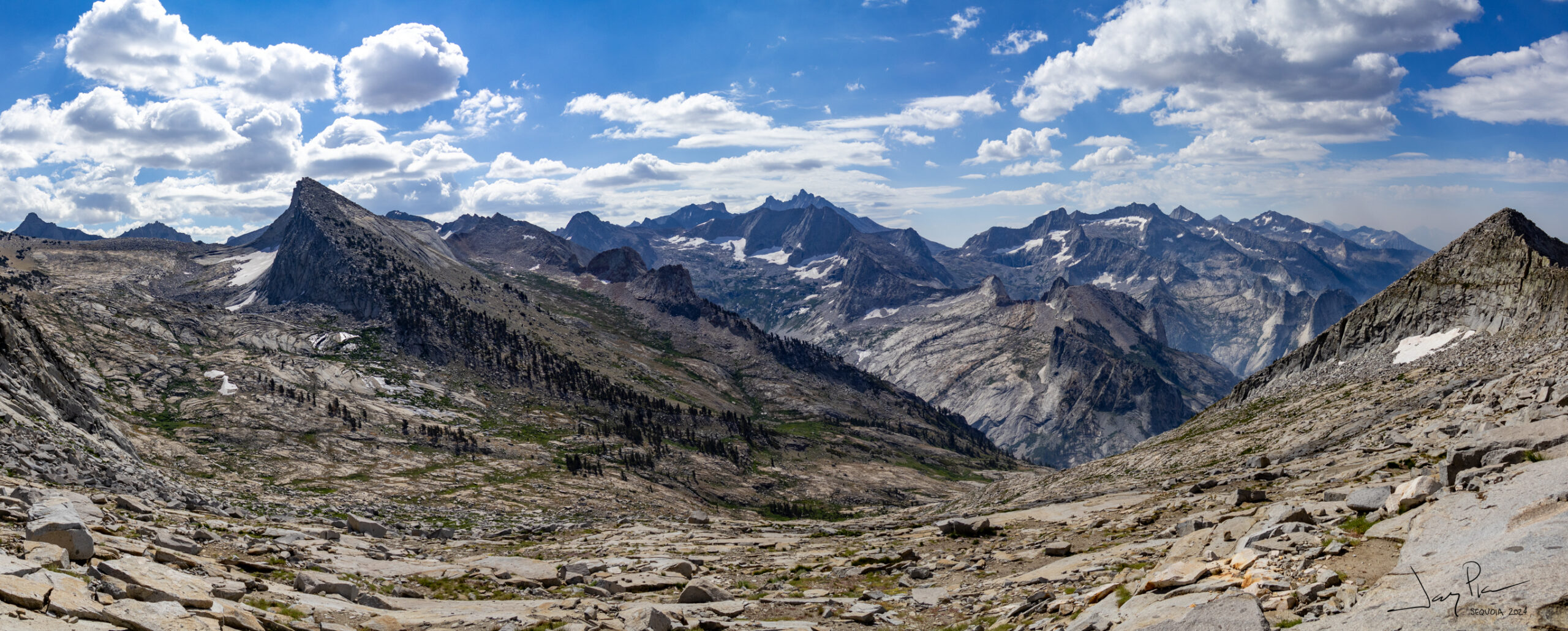
From Pterodactyl Pass looking toward Horn Col
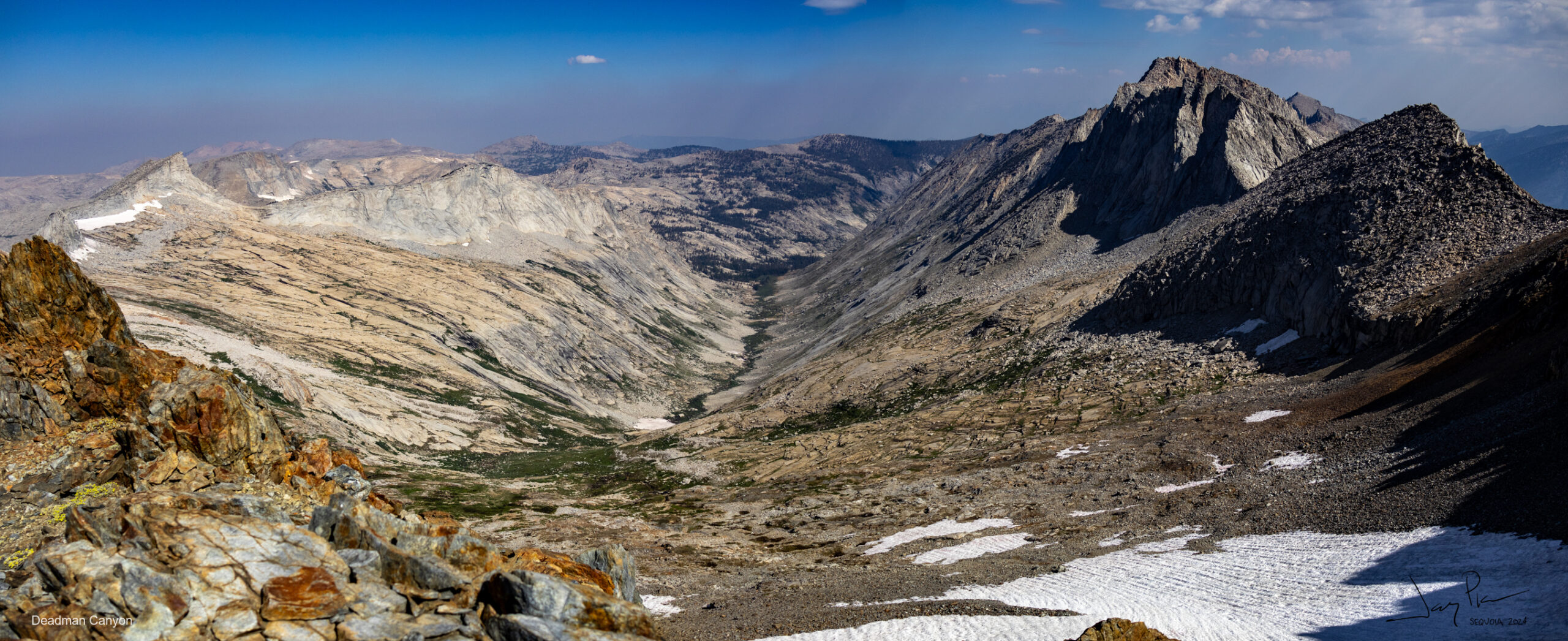
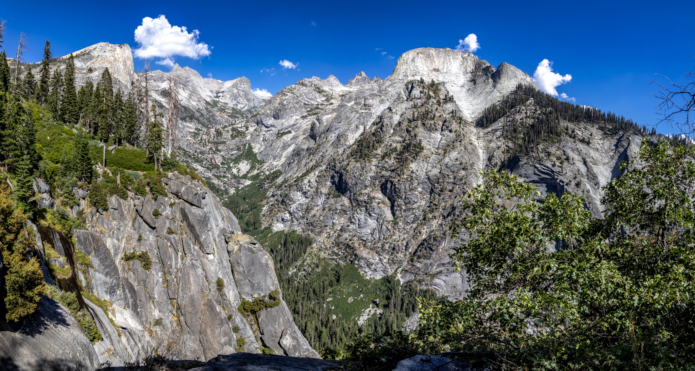
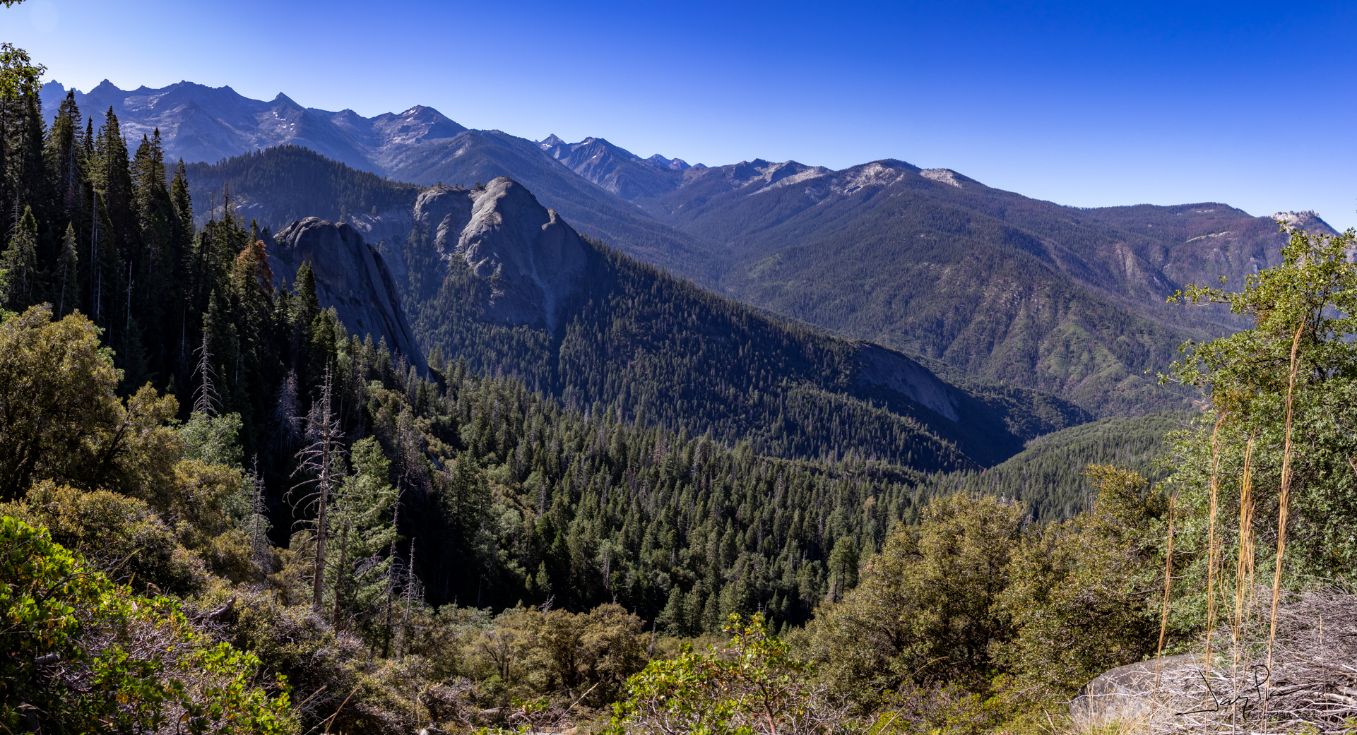
As we approach Copper Mine Peak, Deadman Canyon and the approach to Elizabeth pass was so pretty
Sunrise was delightful – clear skies and our challenge of doing both Copper Mine Peak/pass and Triple divide
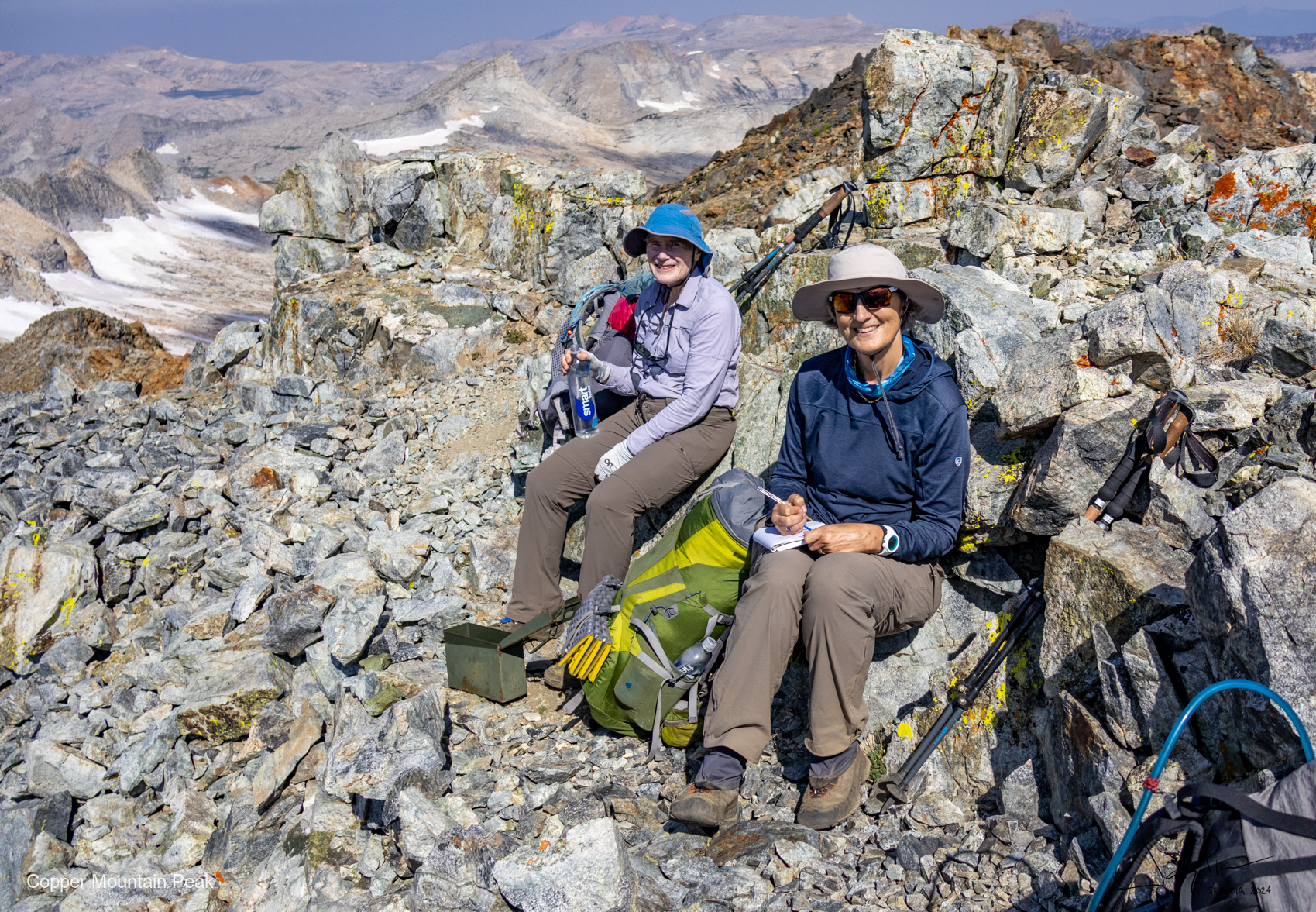
Signing the registry at the top of Copper Mine Peak.
Copper Mine Peak had a use trail on the back side, but it was a tad steep!!
Looking down Deadman Canyon from the top of Copper Mine Peak
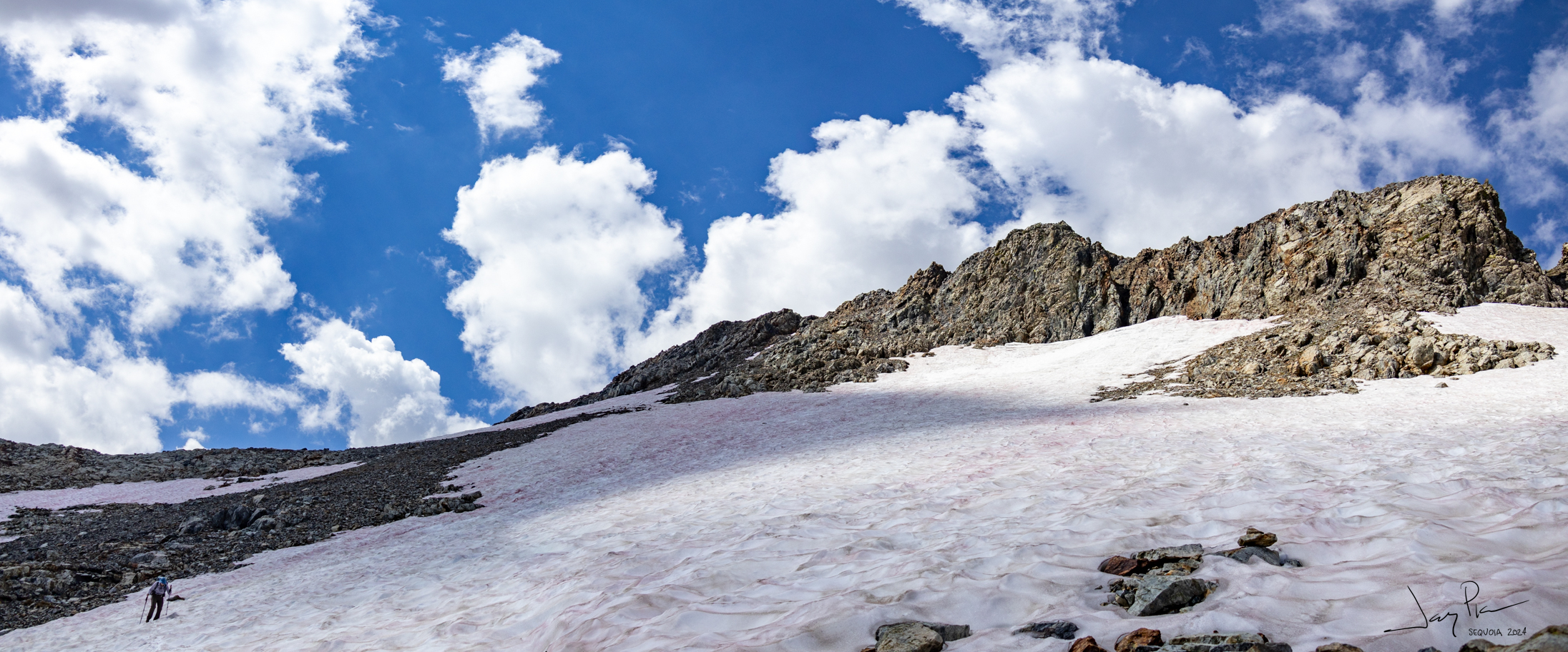
The descent from Copper Mine Peak was STEEP and had patches of snow. We could look over and see Triple Divide pass – the approach was covered in snow – didn’t look good (we did not have microspikes)
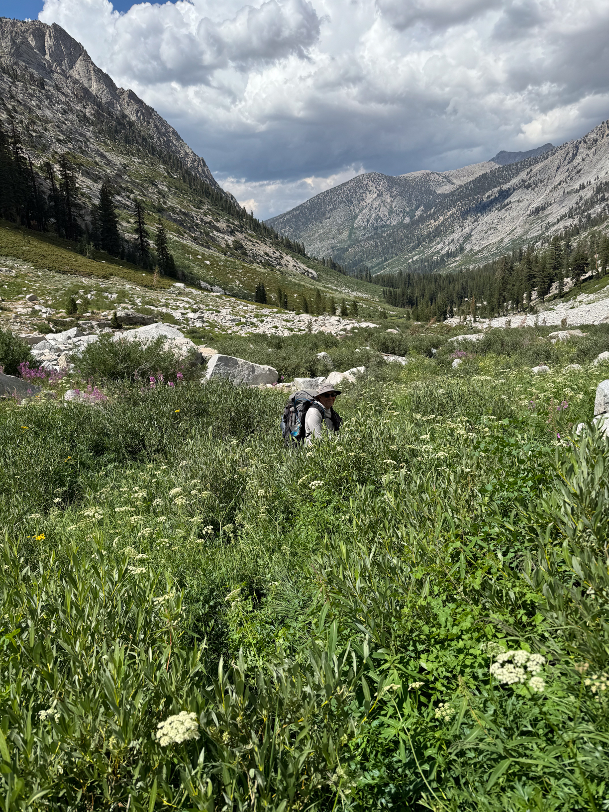
Overgrown and pretty
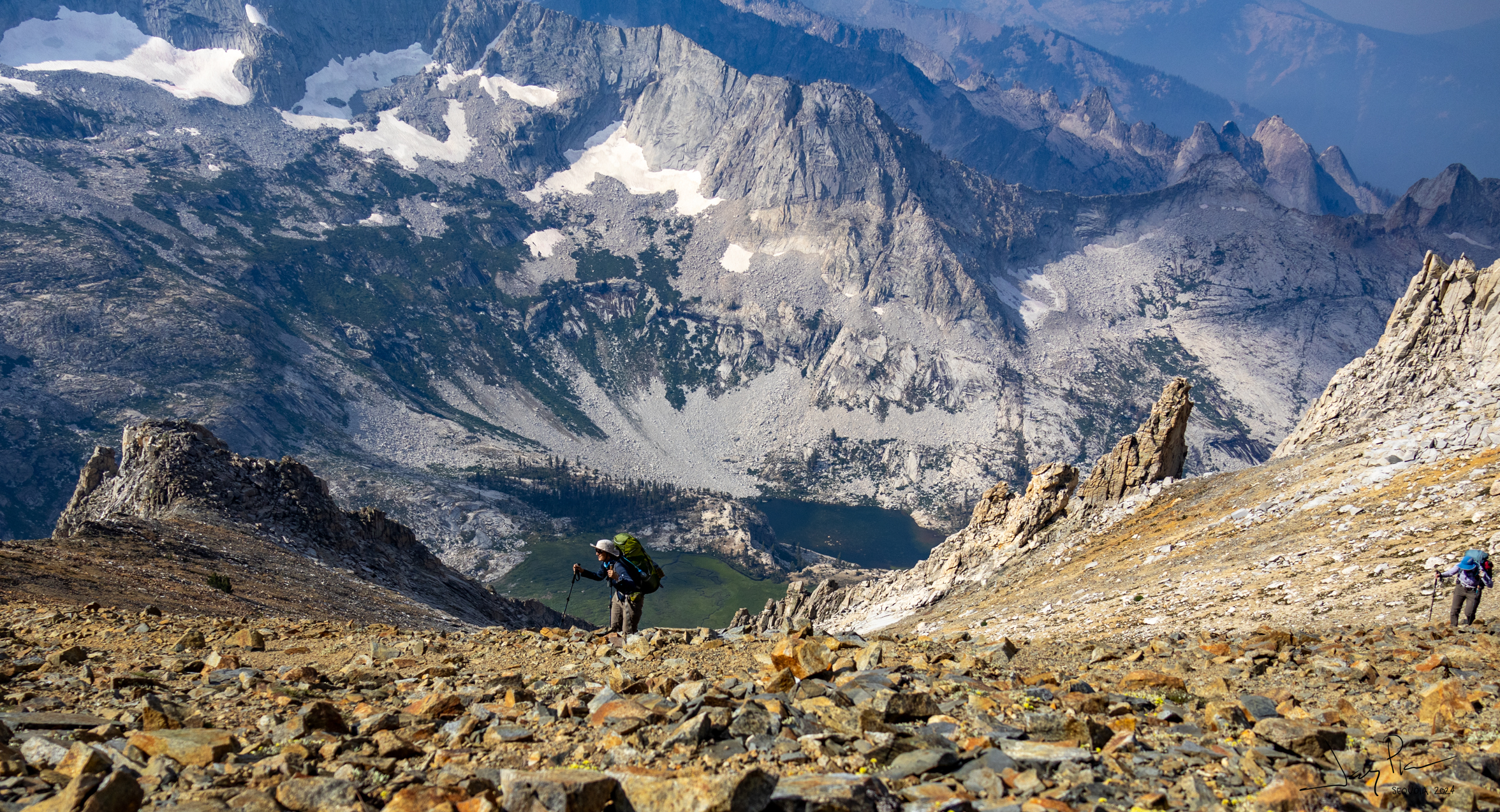
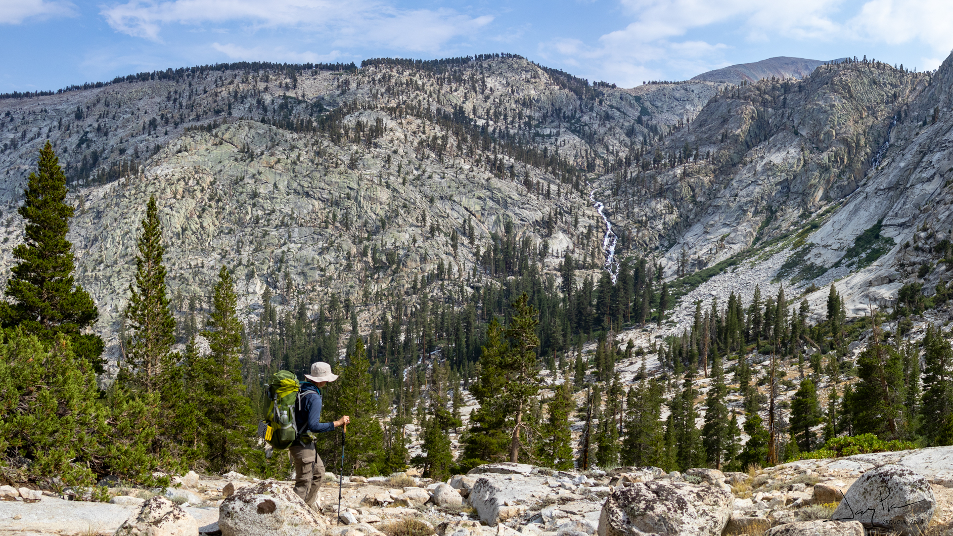
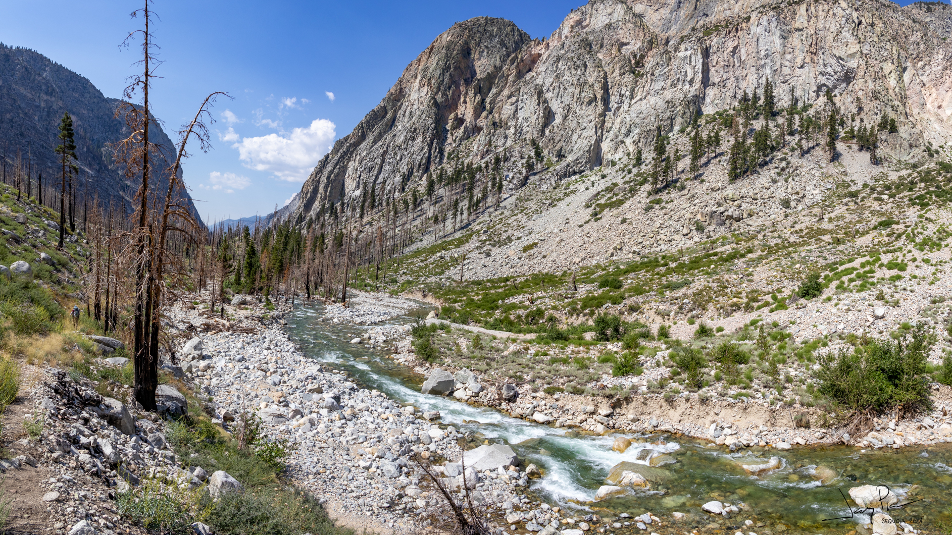
So we headed down Cloud Canyon – very steep at the top and very overgrown at the bottom. A very long slog down the valley
We hiked to the bottom of Cloud Canyon and decided to hike up to Colby Lake – 1,500′ vertical and about 3 miles. It was a tough hike – I think I was beginning to feel sick.
We arrived LATE at Colby lake, but got a great campsite! The next morning off we went – maybe to land in Kaweah Basin!!
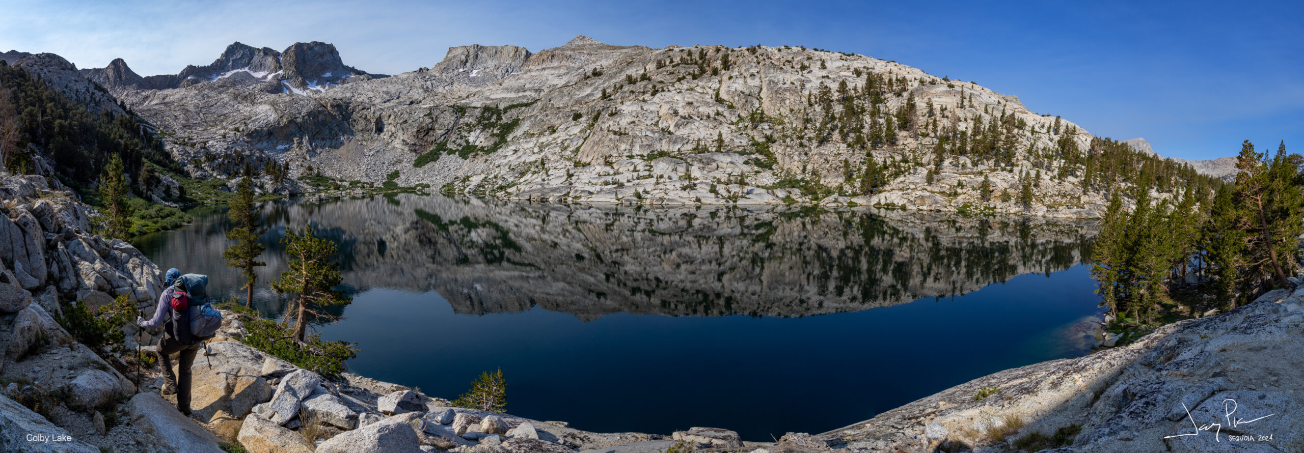
Of course with a beautiful day, Colby Lake is stunning.
Colby Lake on the hike out.
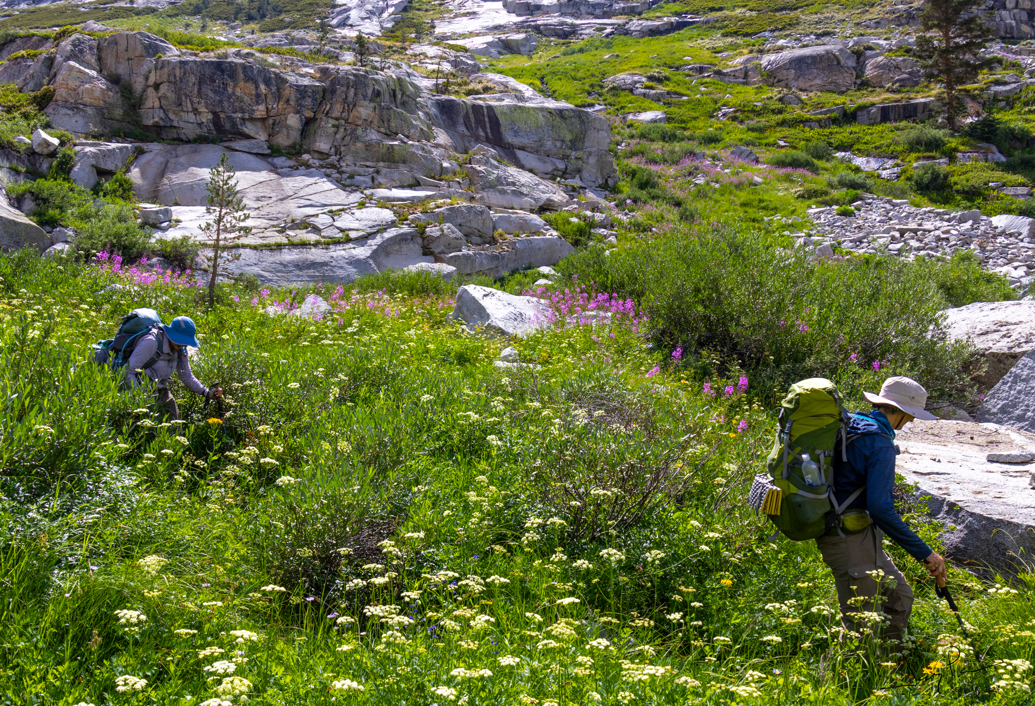
Once again the flowers took over the show.
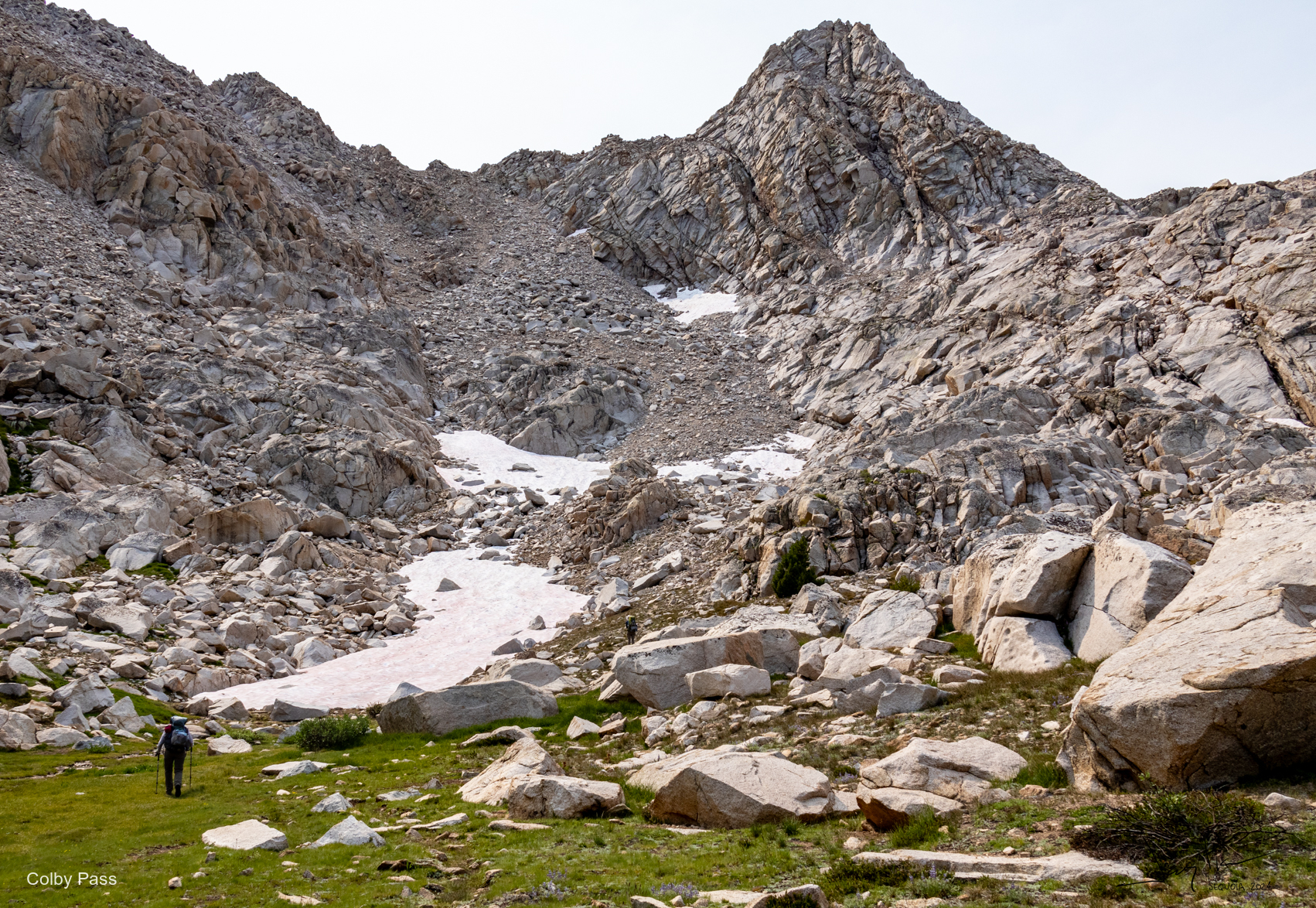
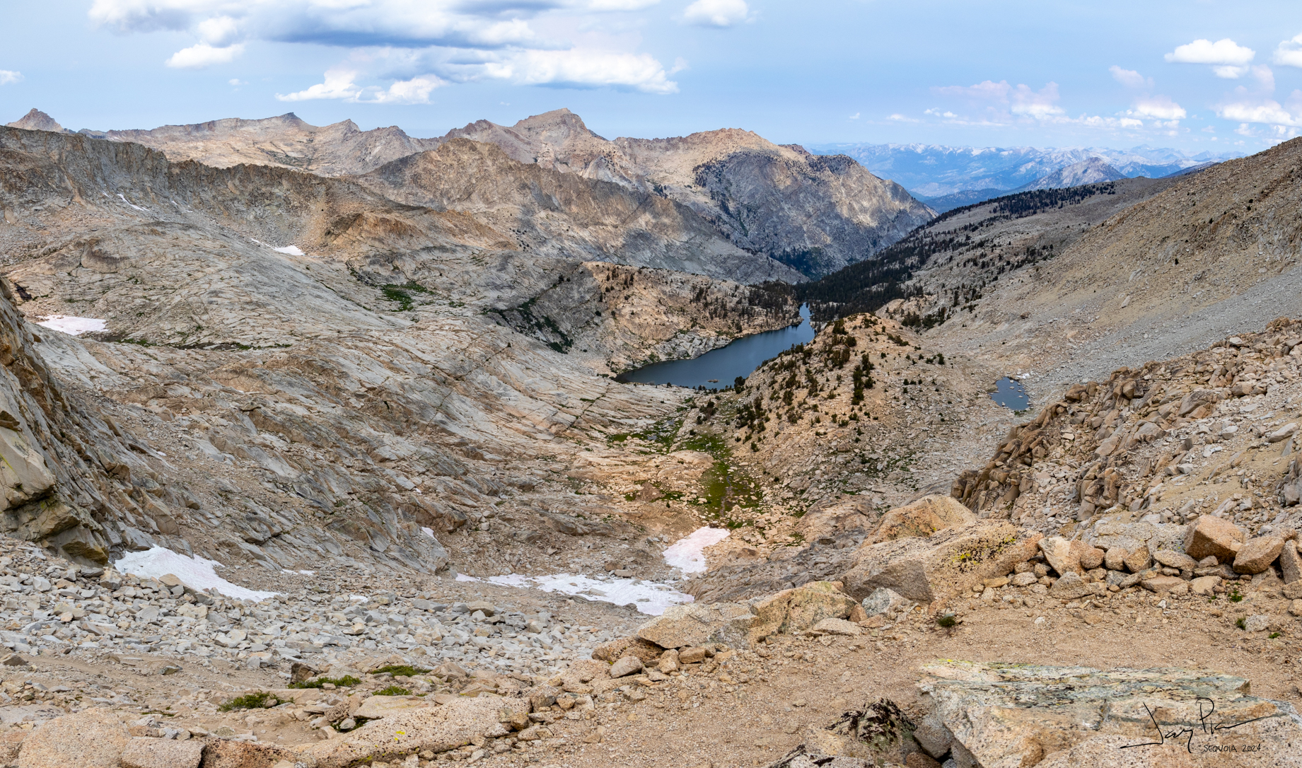
Looking up to Colby Pass. Well maintained switchbacks to the top.
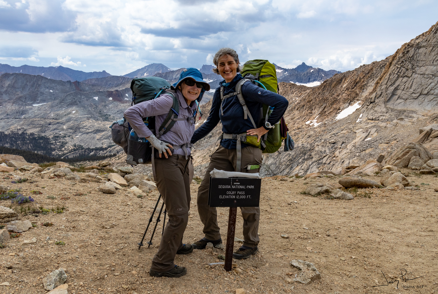
At the top of Colby Pass
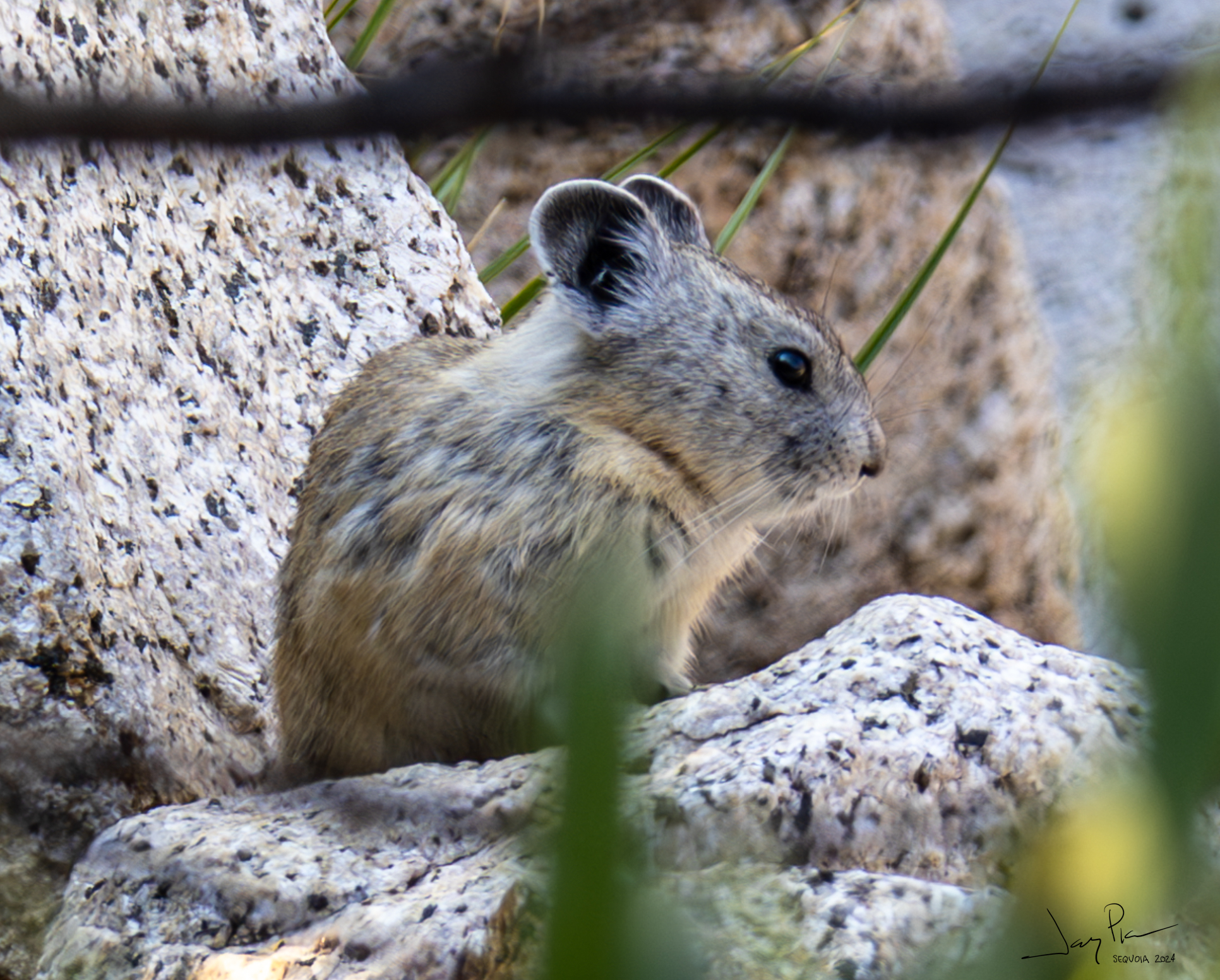
A pika was gathering greens. She was fast moving, but didn’t let us stop her
From the switchbacks looking back at Colby Lake
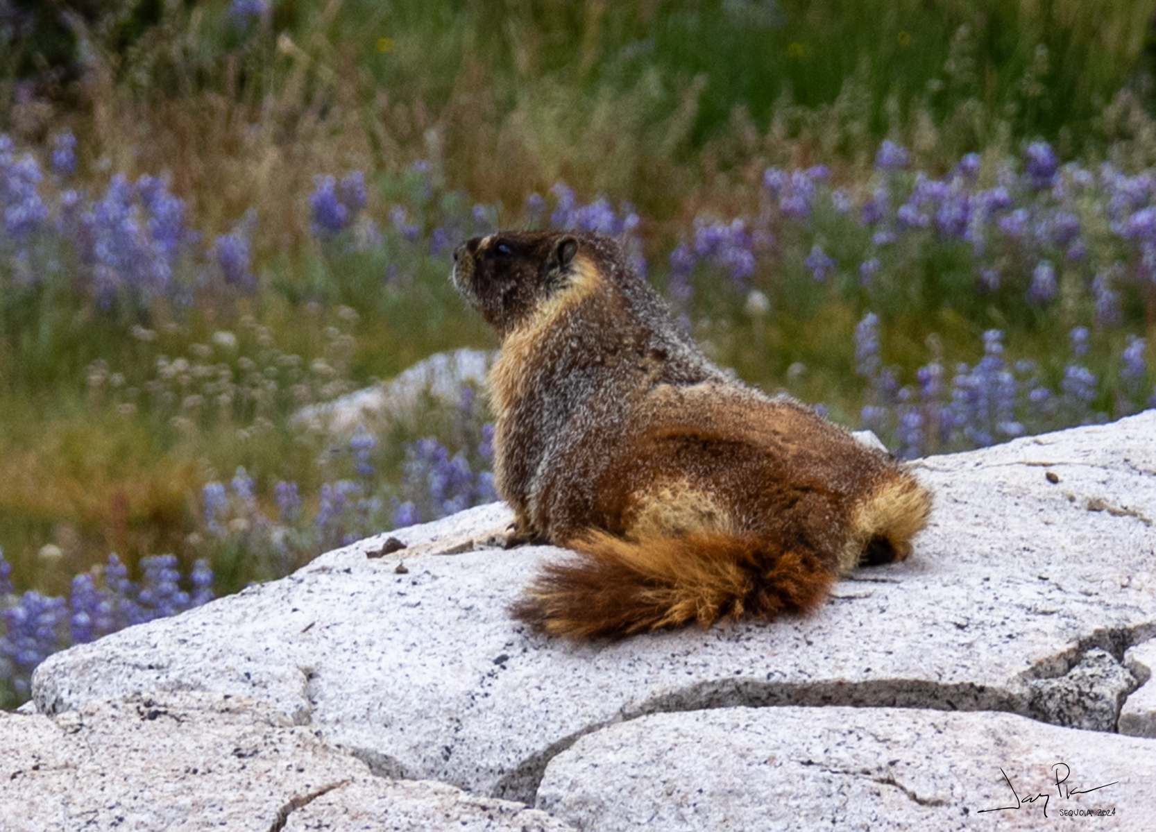
Sunning on a warm rock (just before a afternoon thunderstorm)
So about this time we began doing the Kaweah calculation. It was late in the day (3pm), we would need to go another 2 hours or so to make it up to Kaweah (cross country, steep) and we needed to cross the Kern-Kaweah river. THAT was the final nail – there wasn’t an easy place to cross. We would need to ford (take off our shoes) and THAT takes at least 30 minutes. So we decided that Kaweah was not for us this time. 🙁
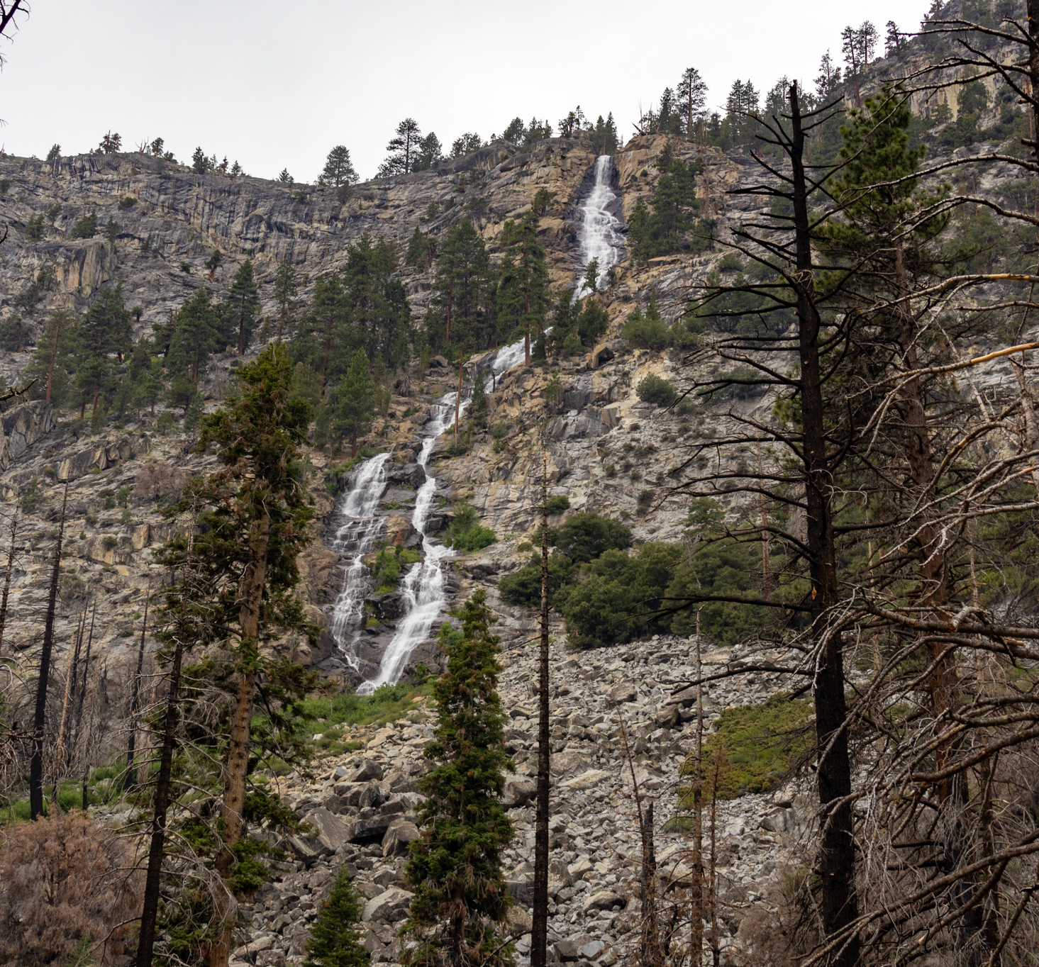
The Picket waterfalls
Our final approach into camp. The river didn’t give us any opportunity for a dry crossing – so shoes and all through the water!
On the flats headed to the river – Kaweah in our sights!
And ANOTHER climb before we made it down
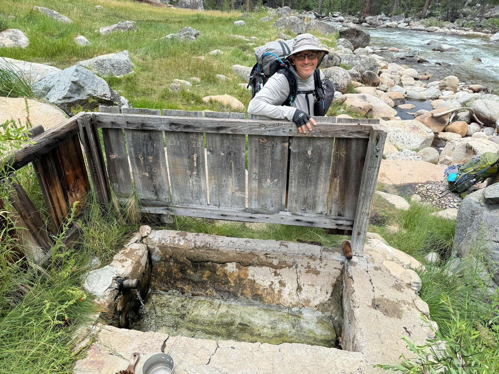
After camping at the Junction Campground, we headed down the Kern River – mostly downhill, and a hot springs in the middle!!
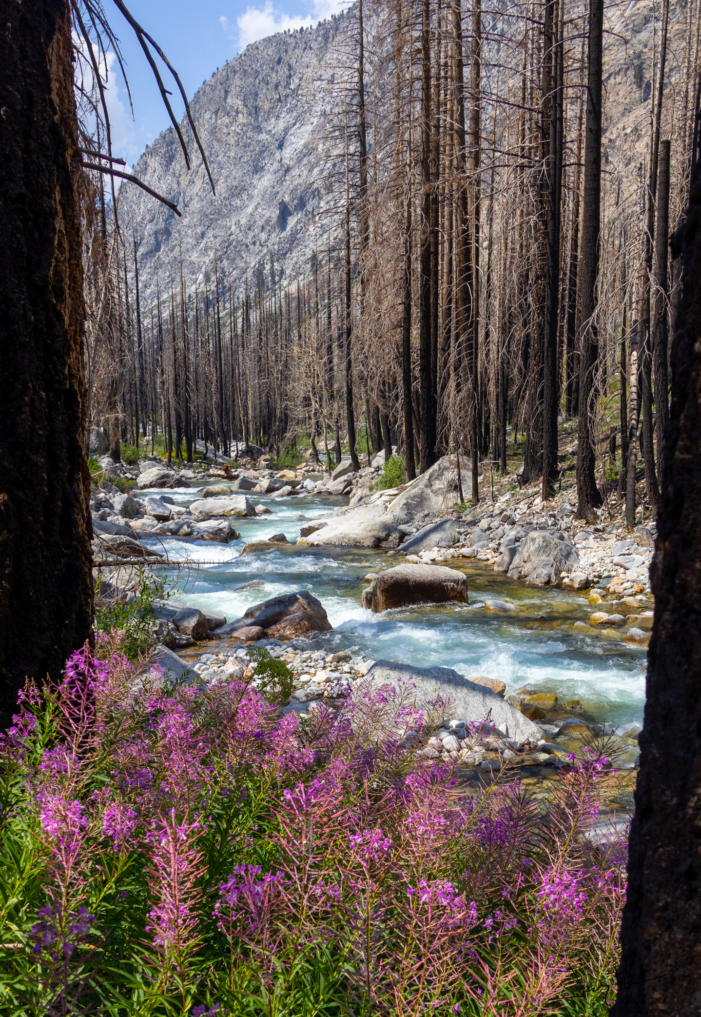
There was a 3 mile segment of burned trees. It may have happened the last time we tried to hike this area.
More waterfalls
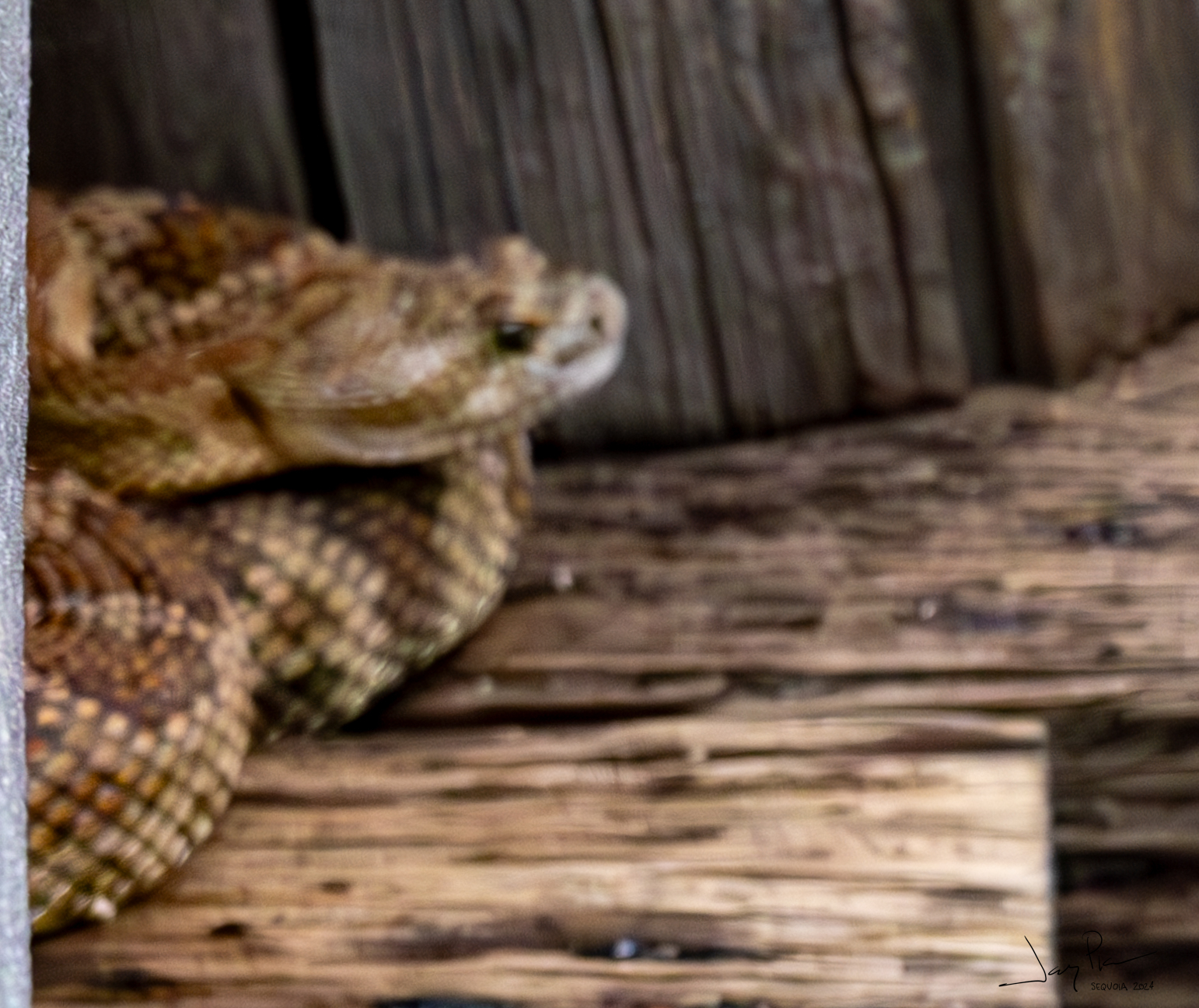
Pat and I saw a rattlesnake. He ran into the bridge and I didn’t hit focus on getting his profile shot.
THIS is the famous Kern River Hot Tub!! (With my famous head)
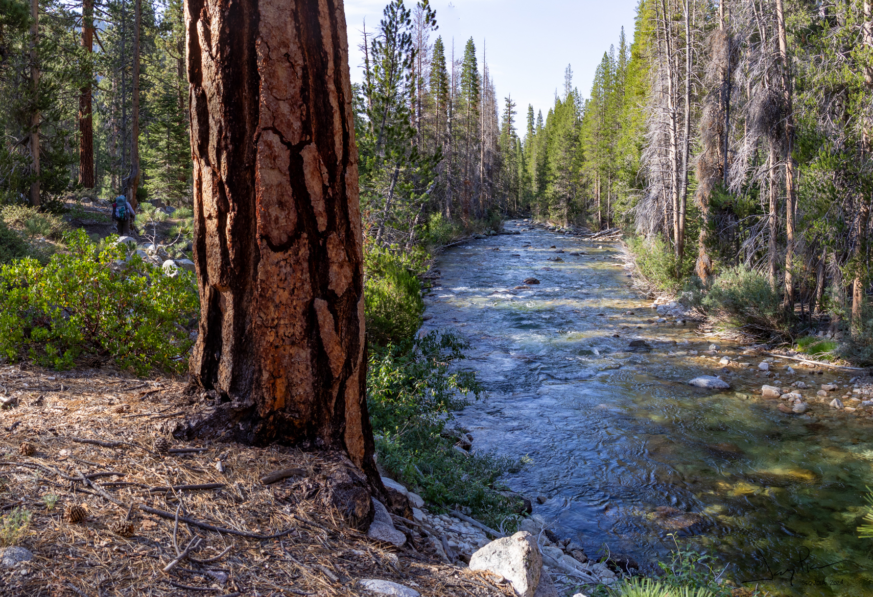
The Kern river was delightful!
Camping relatively early means we can do laundry!!
Off from the Kern river over a big hump (over 4K’ up) and 14 miles…
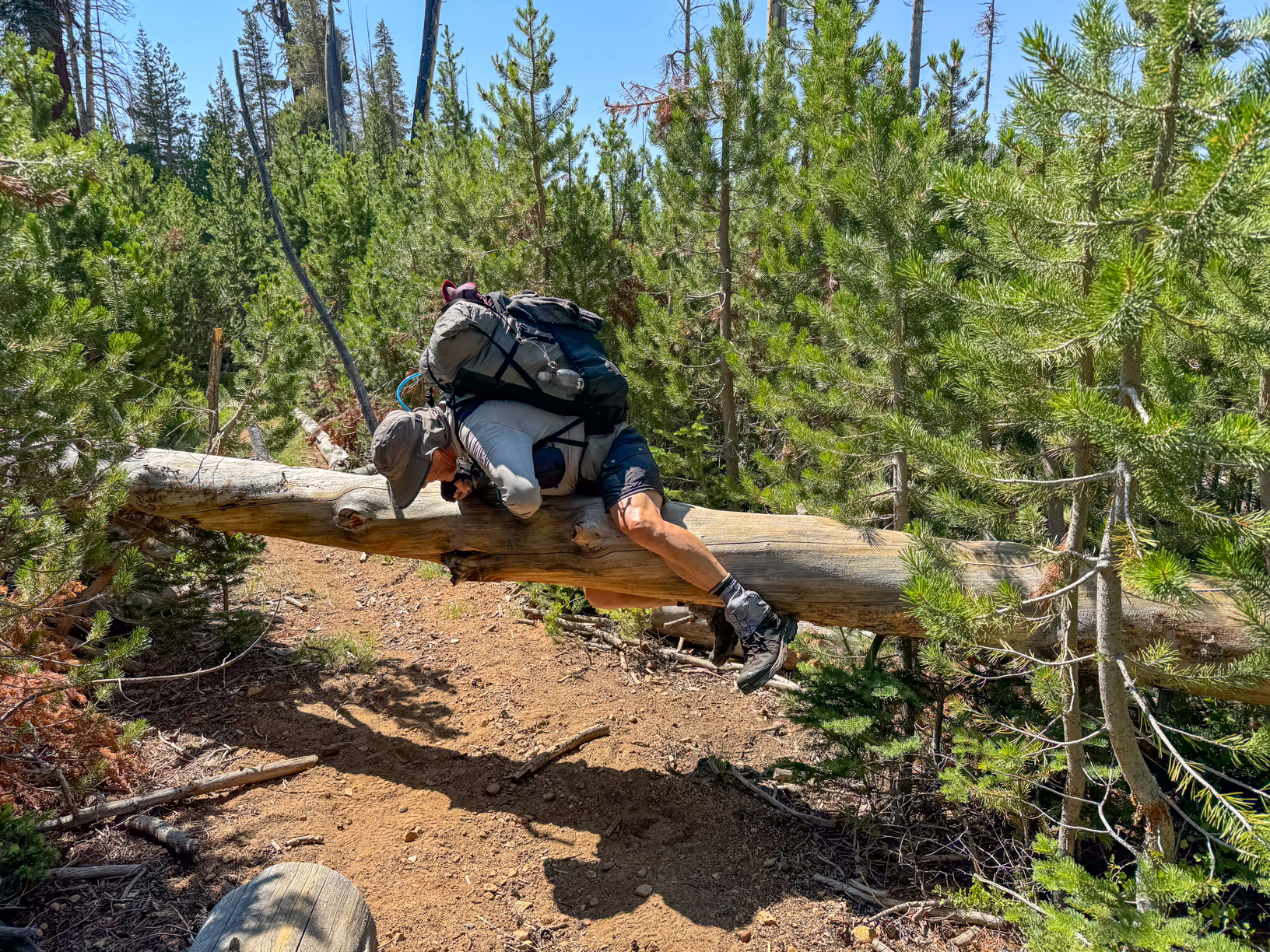
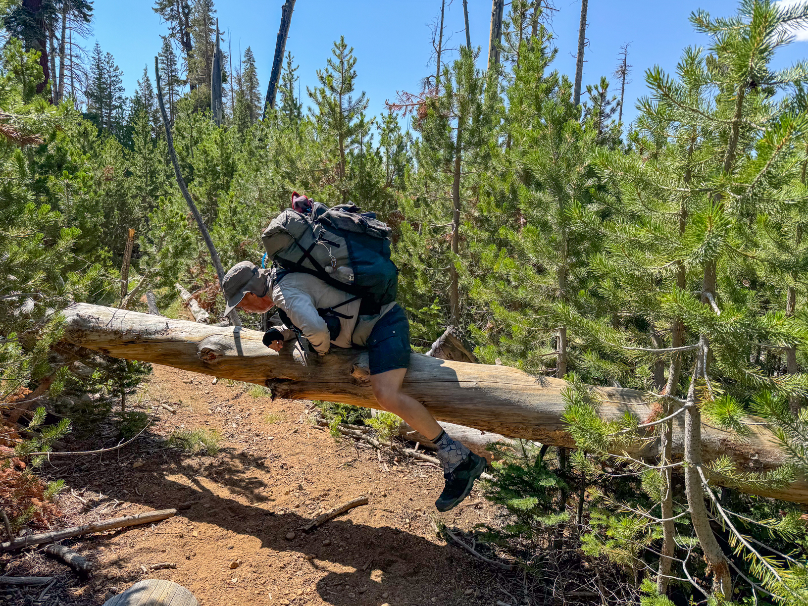
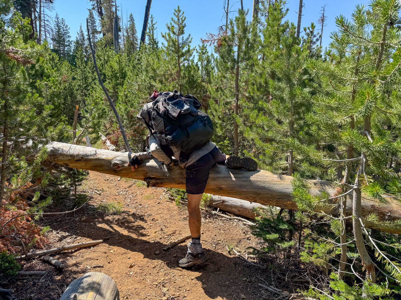
Let’s just say that sometimes going over a fallen log is not as graceful as one would like
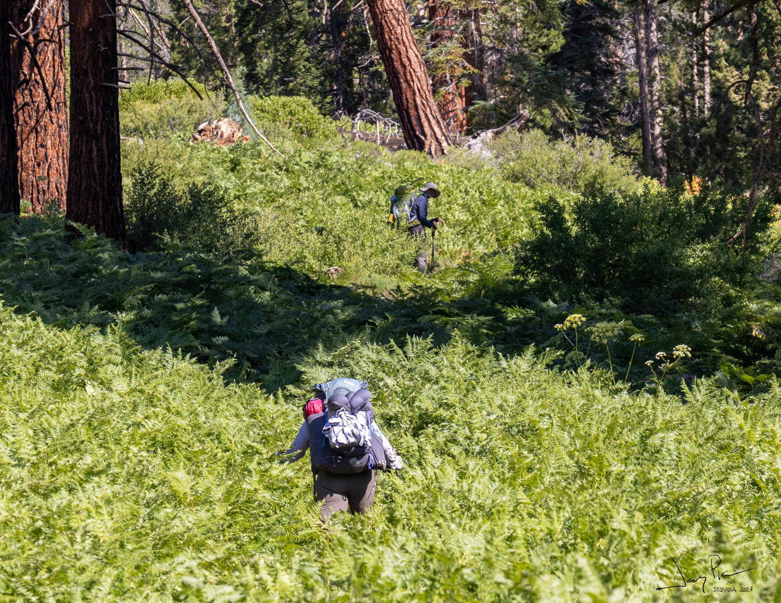
The plants are taking over the trail!
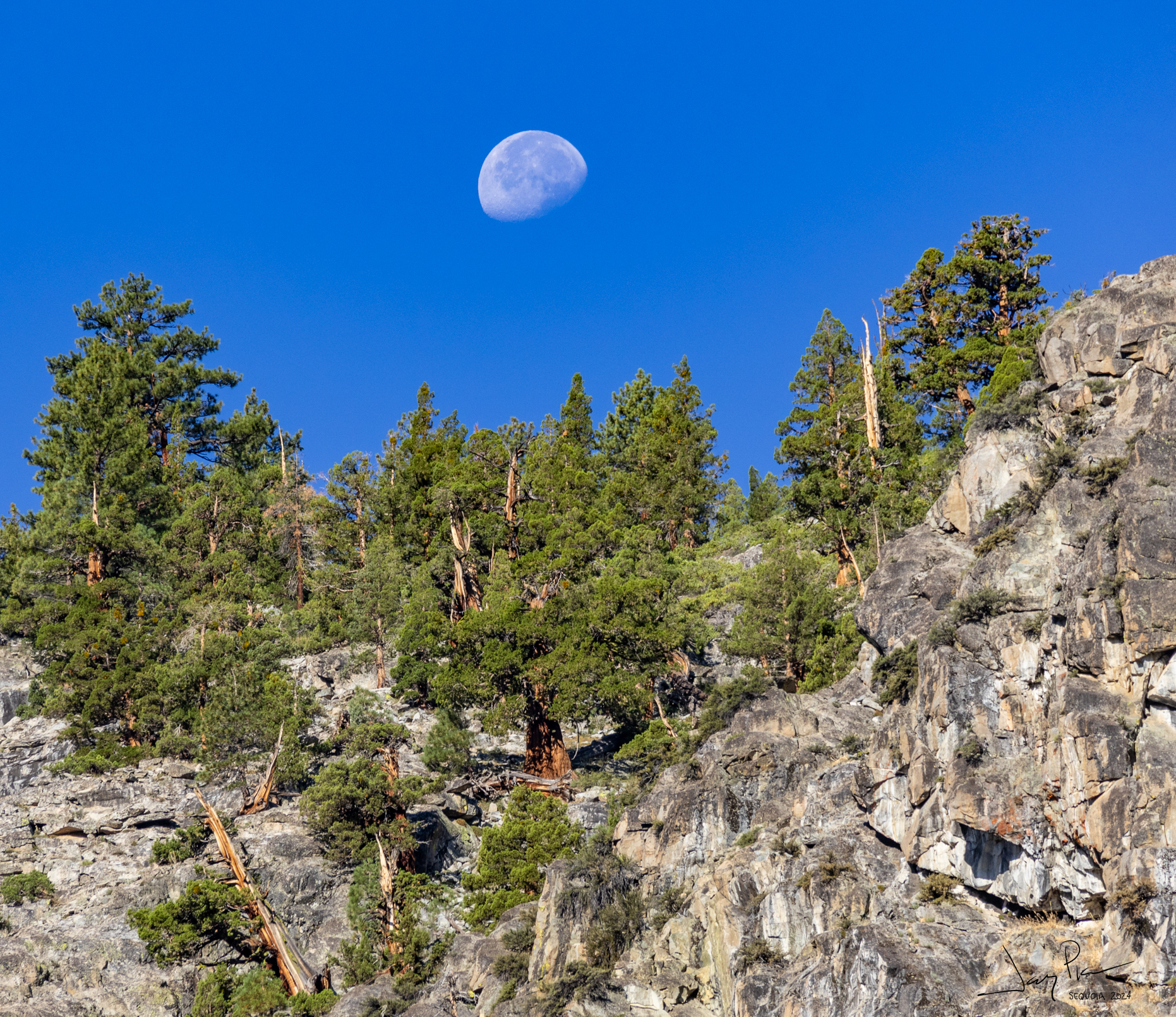
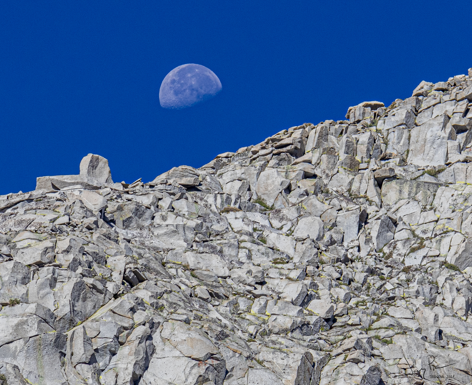
The moon would rise during the night making it very bright at night an a chance to see the moon during the morning.
Kaweah Peak at a lunch break
Headed down the other side
As we approach the campground
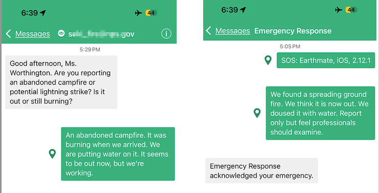
SOS Emergency!
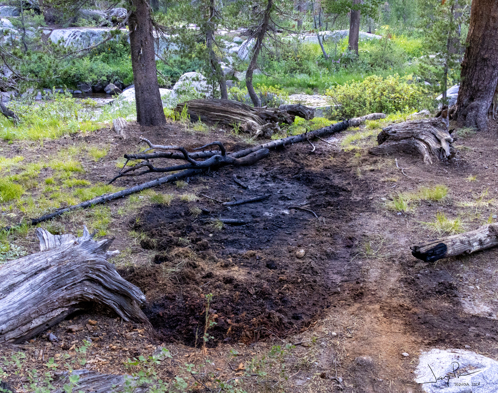
We came across a spreading campfire – not a problem (yet), but could have been a real disaster. We reported it via satellite and did a good job of putting it out. For a full description go to the write up.
After we put it out
Kaweah Peak
Headed up toward Big Arroyo
And we leave the “Fire Zone” and head up to 9 Lakes Basin and Precipice Lake
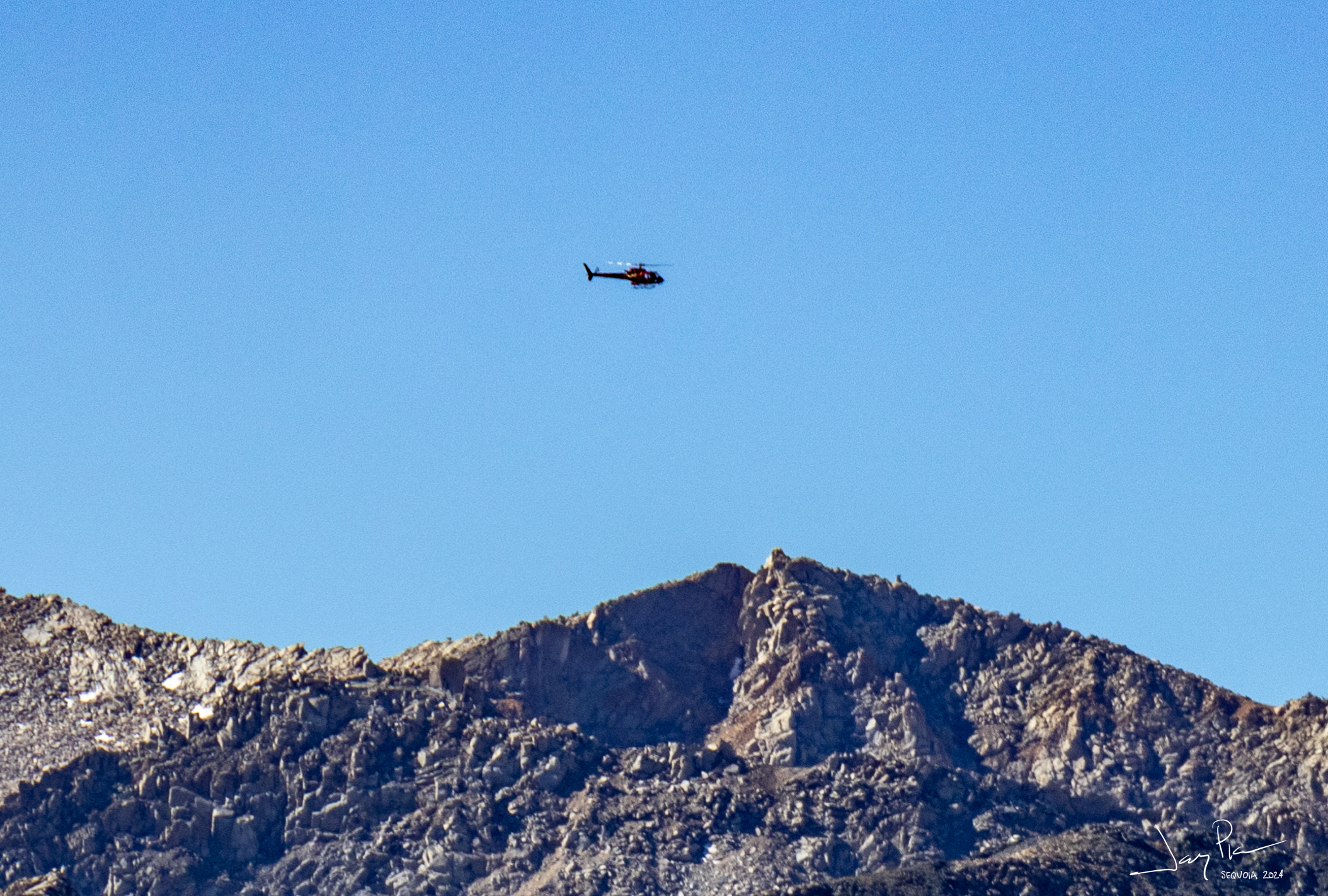
Soon after we depart the campground we see the Helicopter of CalFire come in to “mop up” the fire we found and put out!
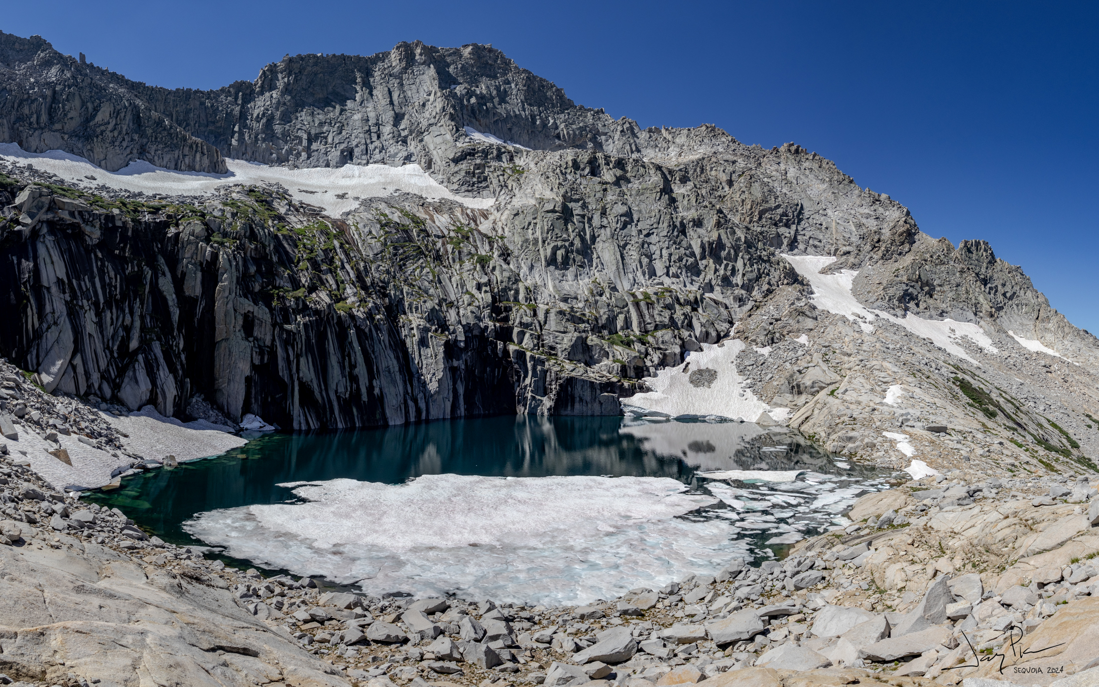
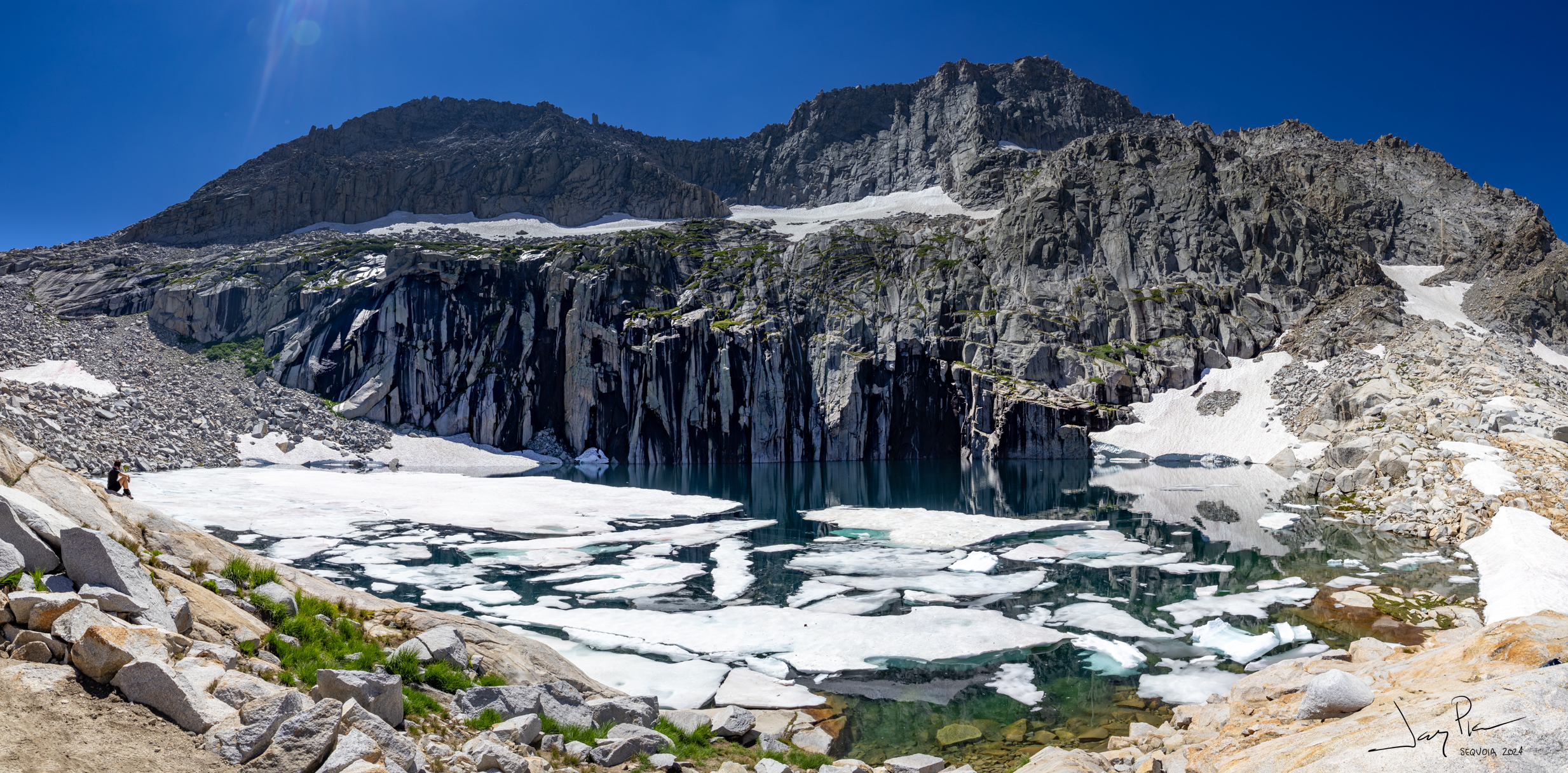
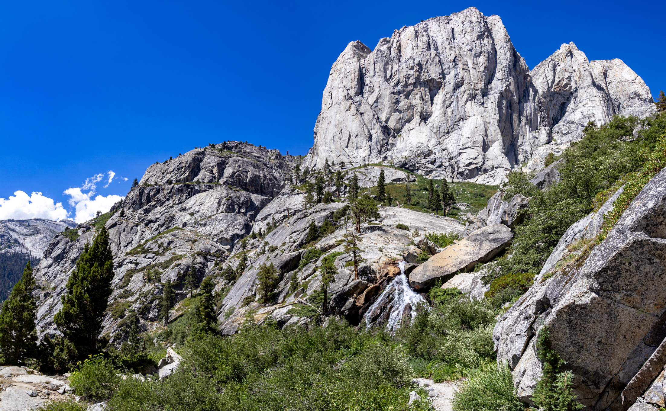
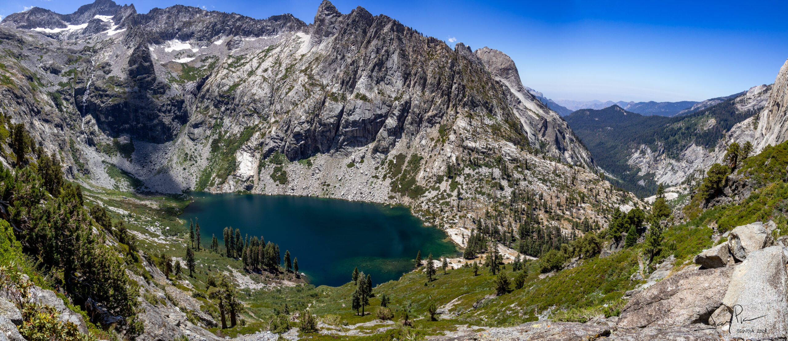
Our first look at Precipice Lake (one of my favorites of the sierras)
The moon comes up again!
Precipice Lake
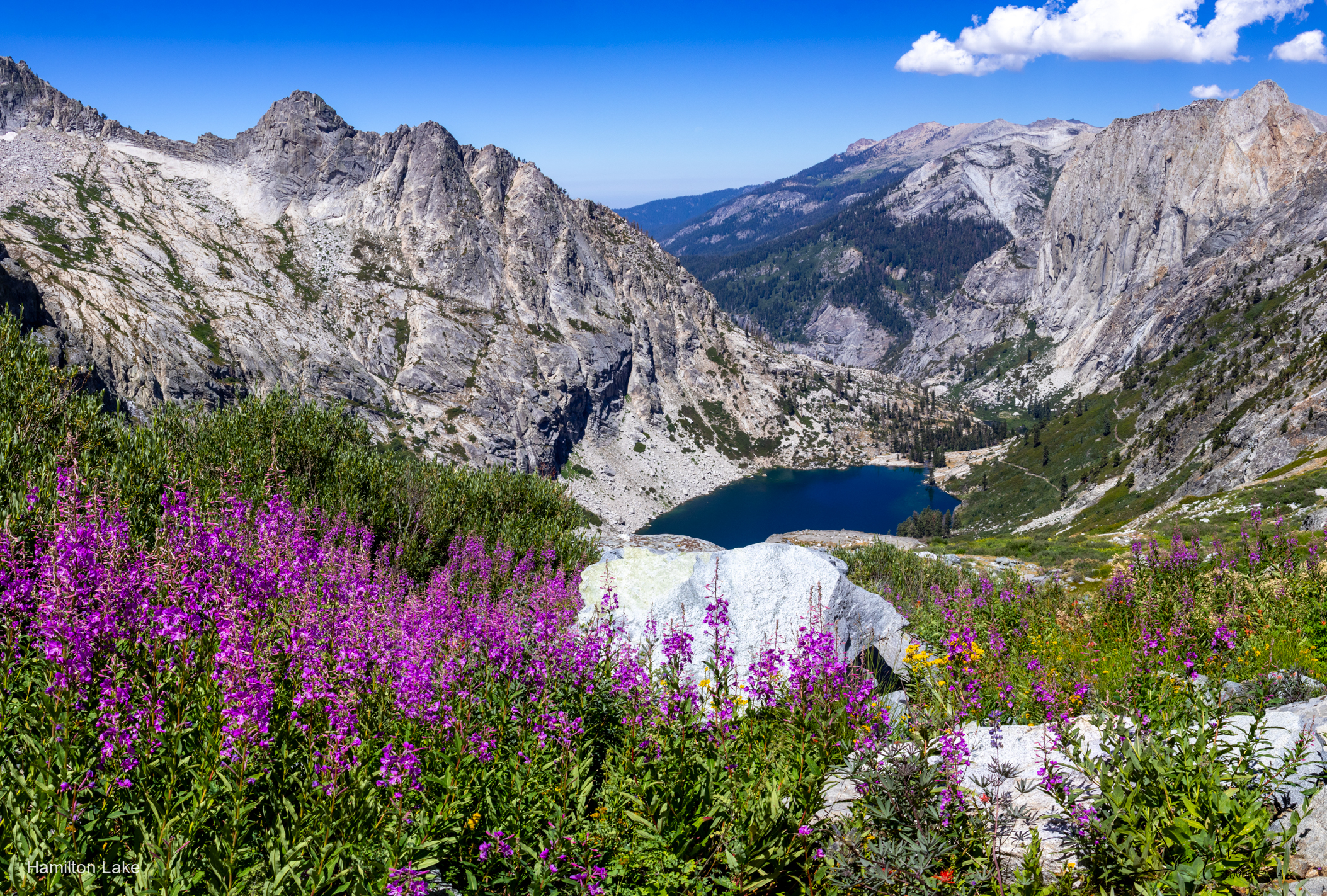
Hamilton Lake
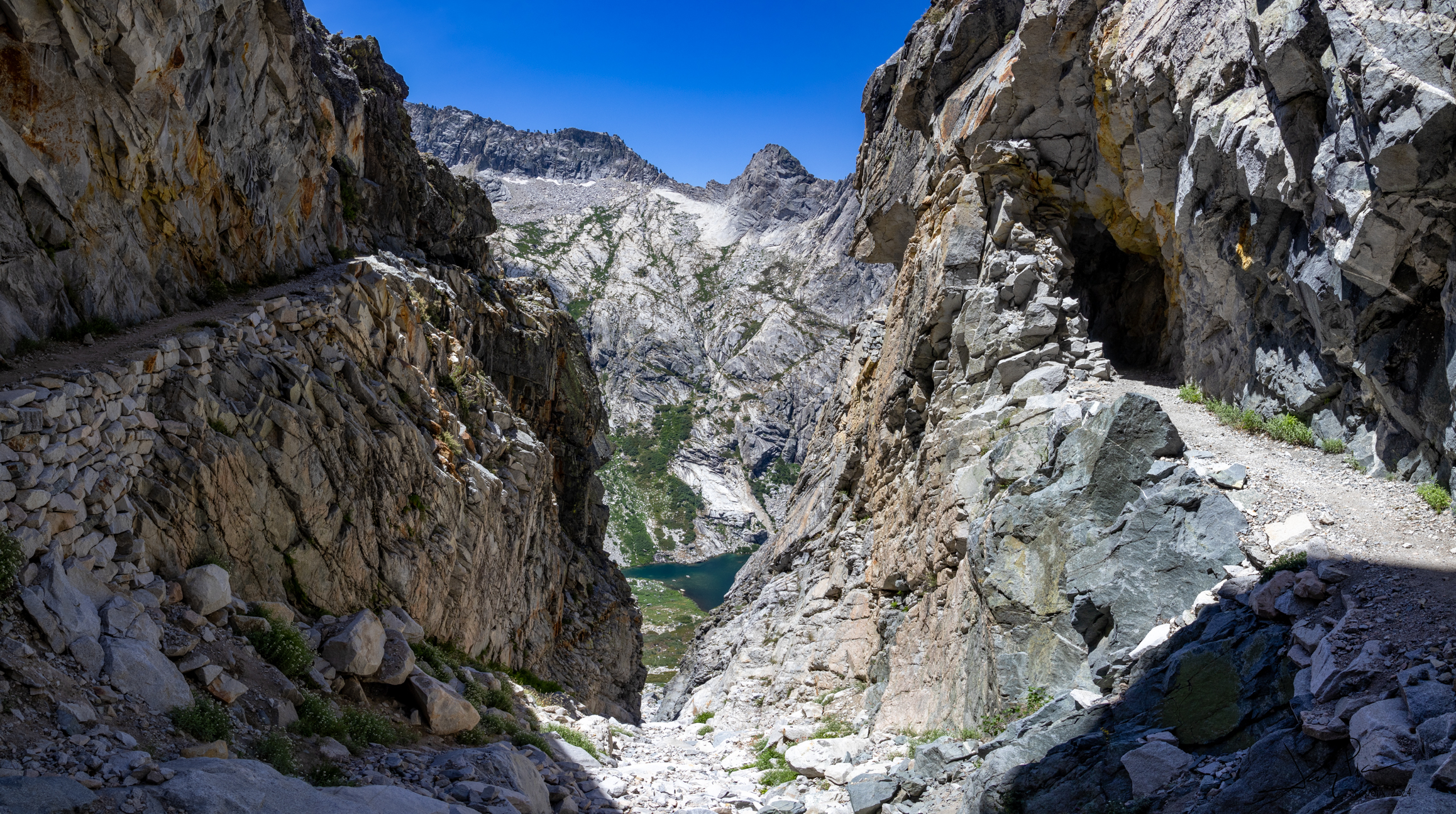
The hike from Precipice Lake down to Bear Paw (past Hamilton lake) must have been challenging to build. This section has a tunnel and the remnants of an old bridge.
The crossing under Elizabeth Pass
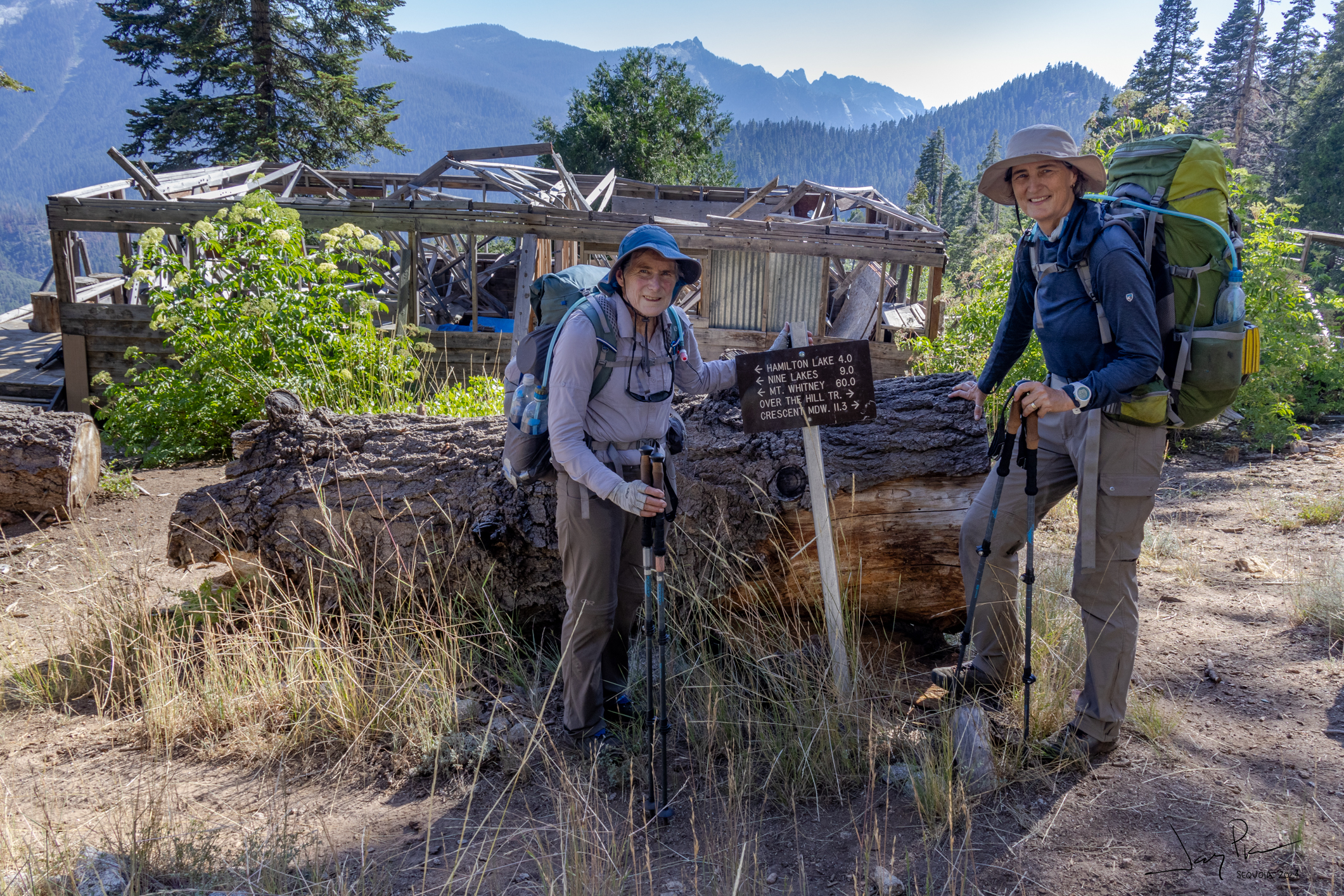
The old Bear Paw dining hall. In years back it was an active destination for hikers.
Hamilton Lake
Looking up the valley toward Hamilton and Precipice (Kaweah Gap)
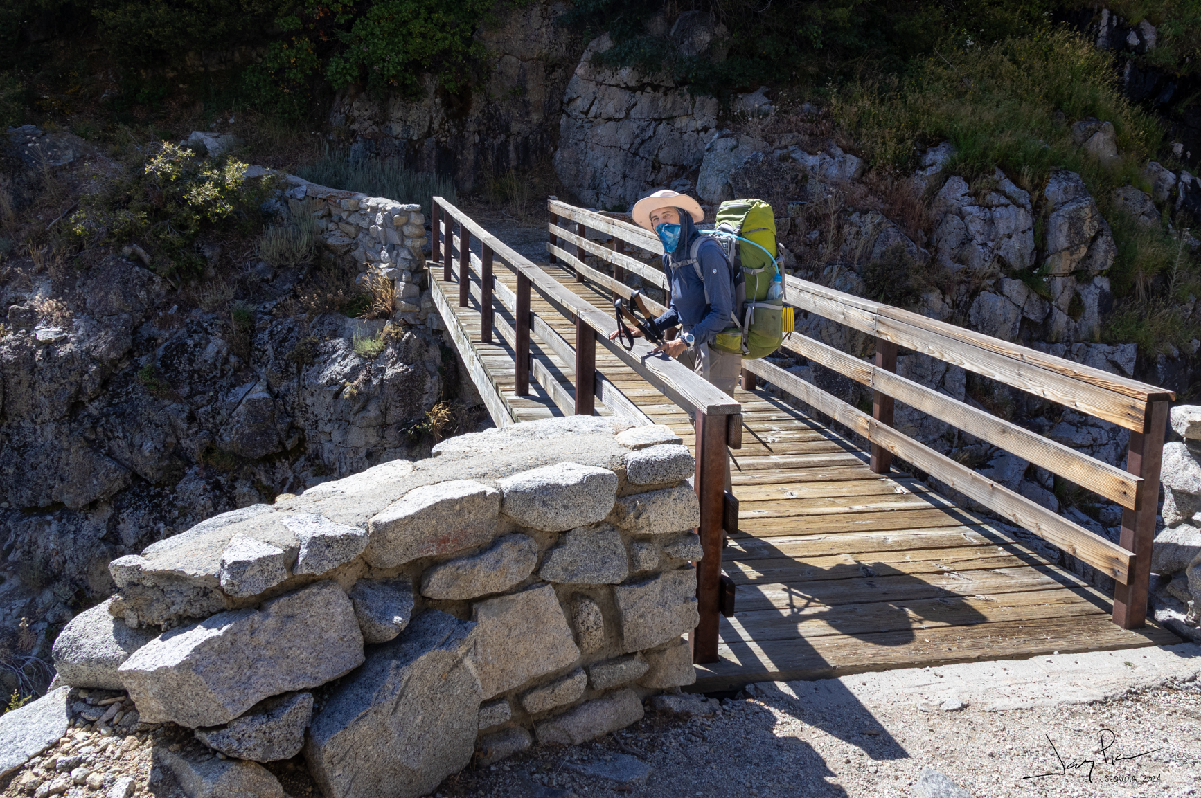
We spent the night at Buck Creek – even got a chance to wash up a bit! The final walk out to Wolverton.
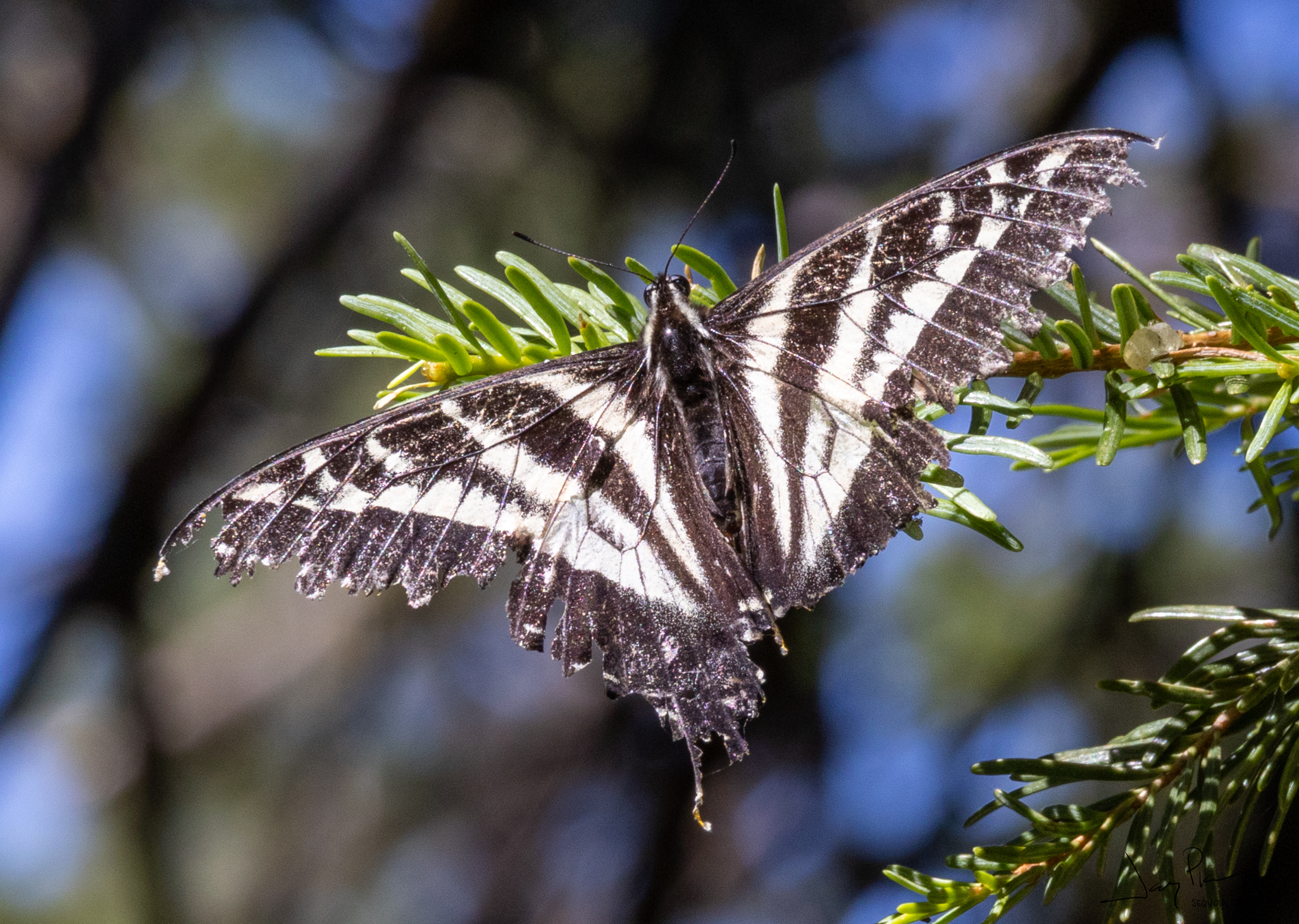
These “bees” or flies just hovered in the air nearby. Didn’t bother us and we couldn’t figure out what they were doing!
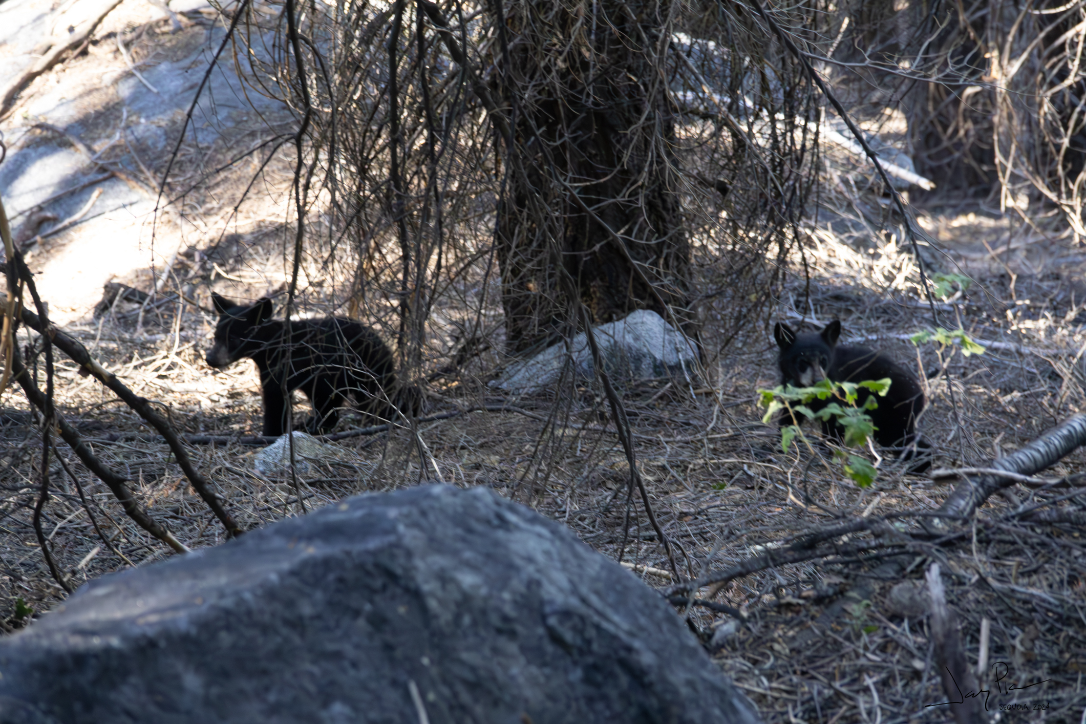
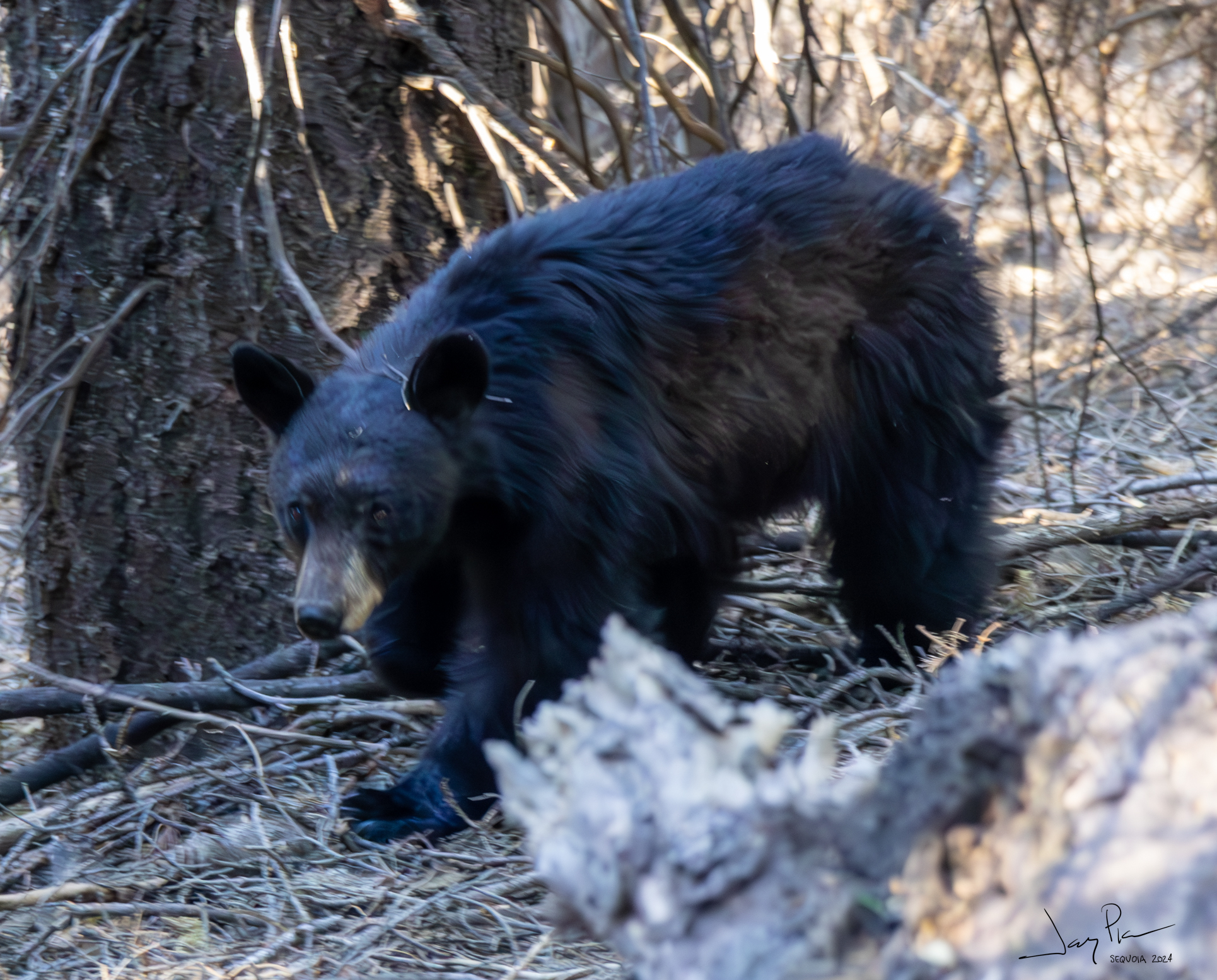
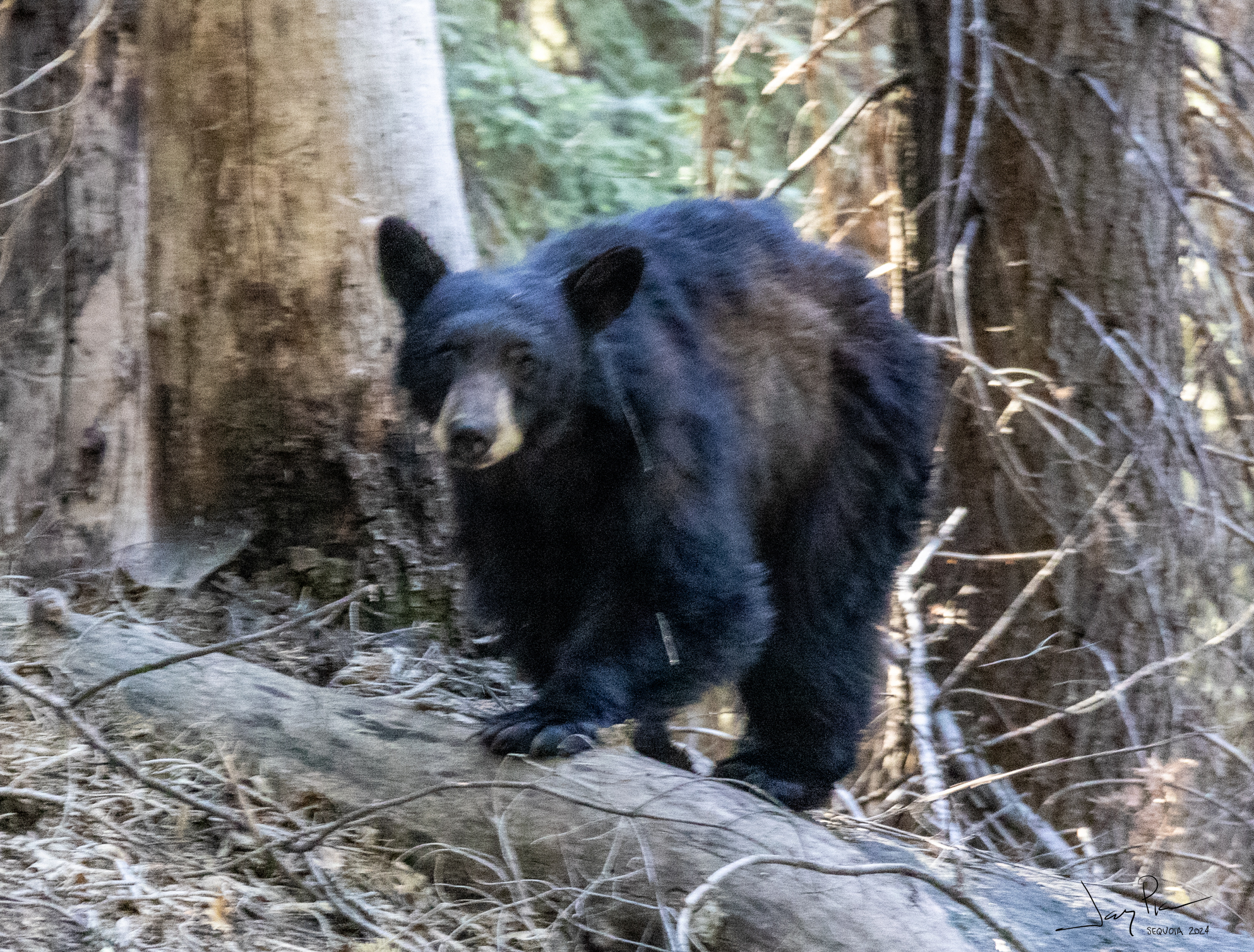
Da Bear
She seems to be molting. The two cubs are SO cute. They were on the trail when we approached, then dropped down, but seemed to be headed back to the trail as we moved on.
As we got lower, the trees filled in. NO SMOKE for our exit (not like last time!)
As we got lower, even MORE flowers
A pair of (stupid) Grouse didn’t know how to get out of the trail.
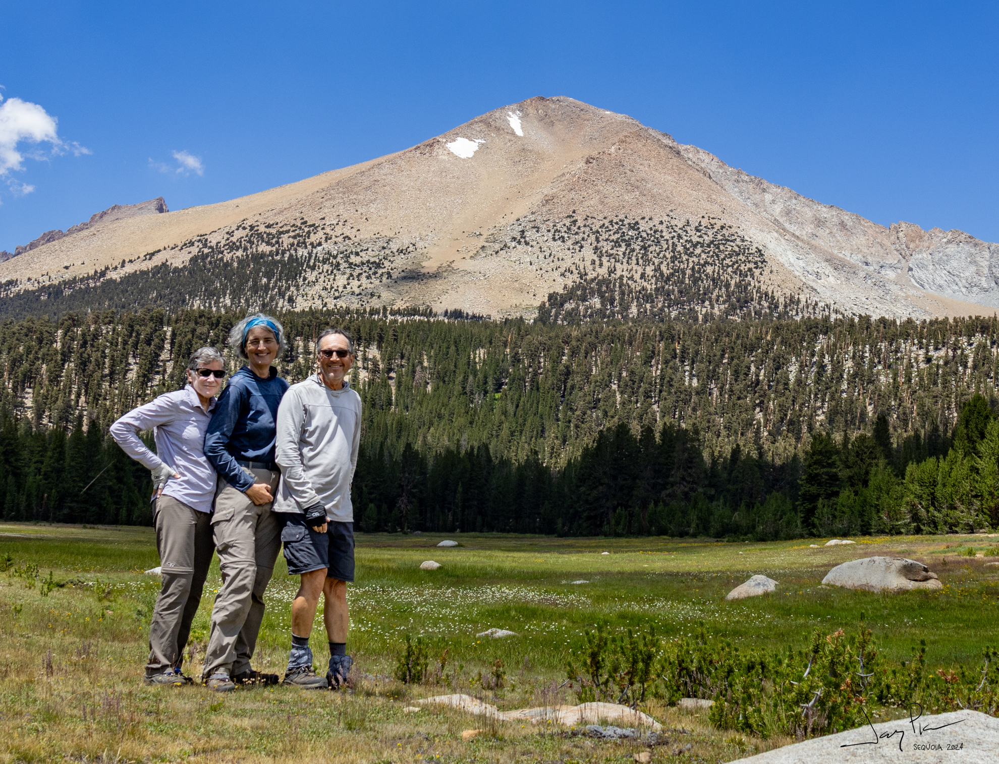
Final Selfie as we sort-of cleaned up getting ready to drive home.
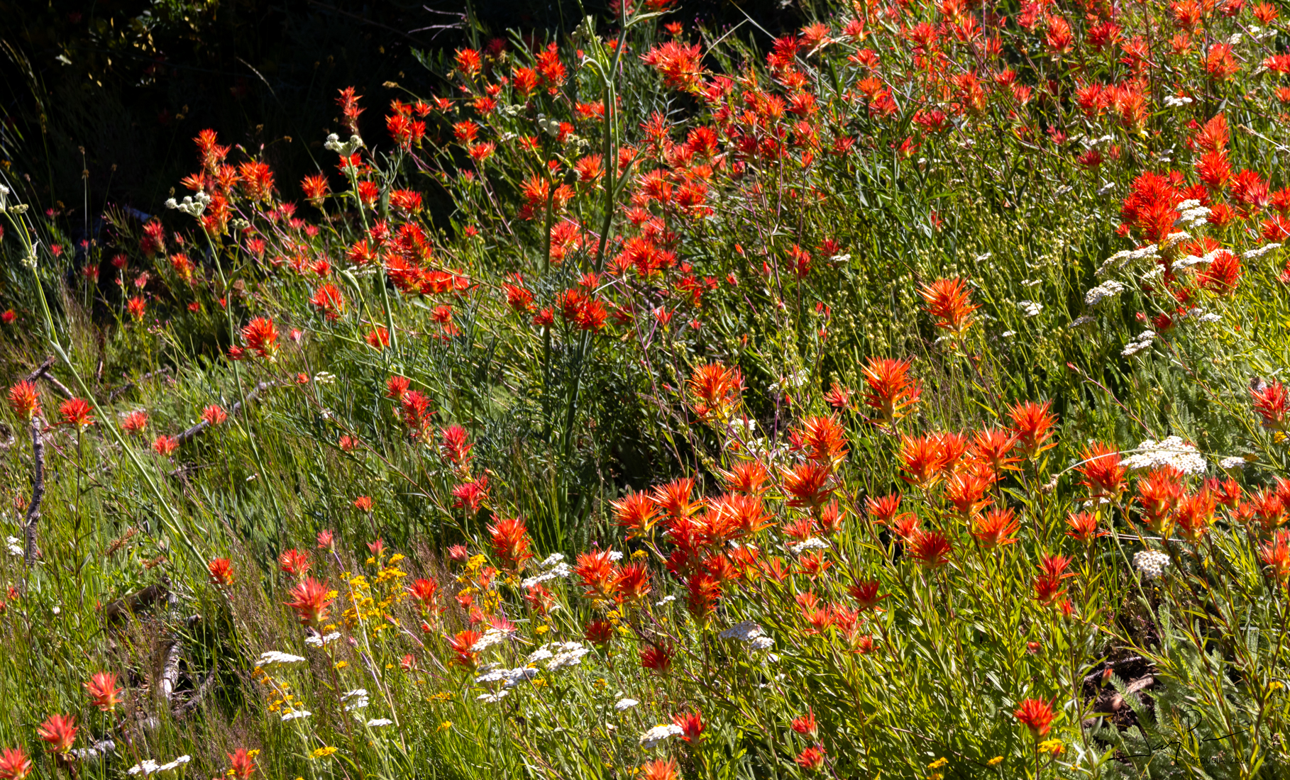
Indian Paint Brush
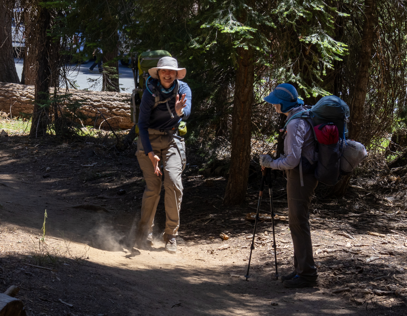
Happy Dance as we finished the trek
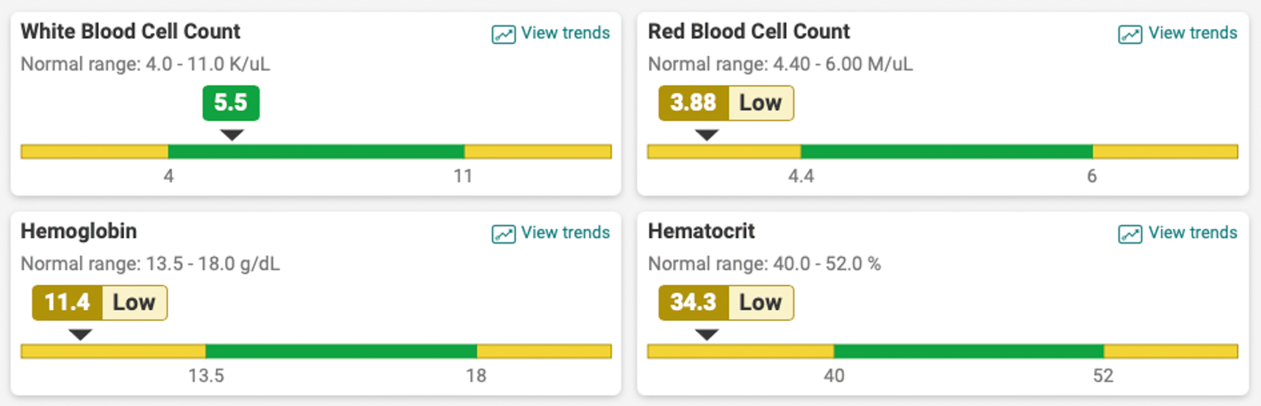
Postscript: I was really fatigued during the last 4 or 5 days of the trip. My tummy was upset and I was taking meds to try and calm it down. My heart rate didn’t want to get above 115 or so, even on the uphills (which was way slower than normal). So I went in to seek care. It *might* have been Giardia – they treated for it. But the blood test showed what I felt – really anemic. My iron was also low. Now can I get it back before the next hike?