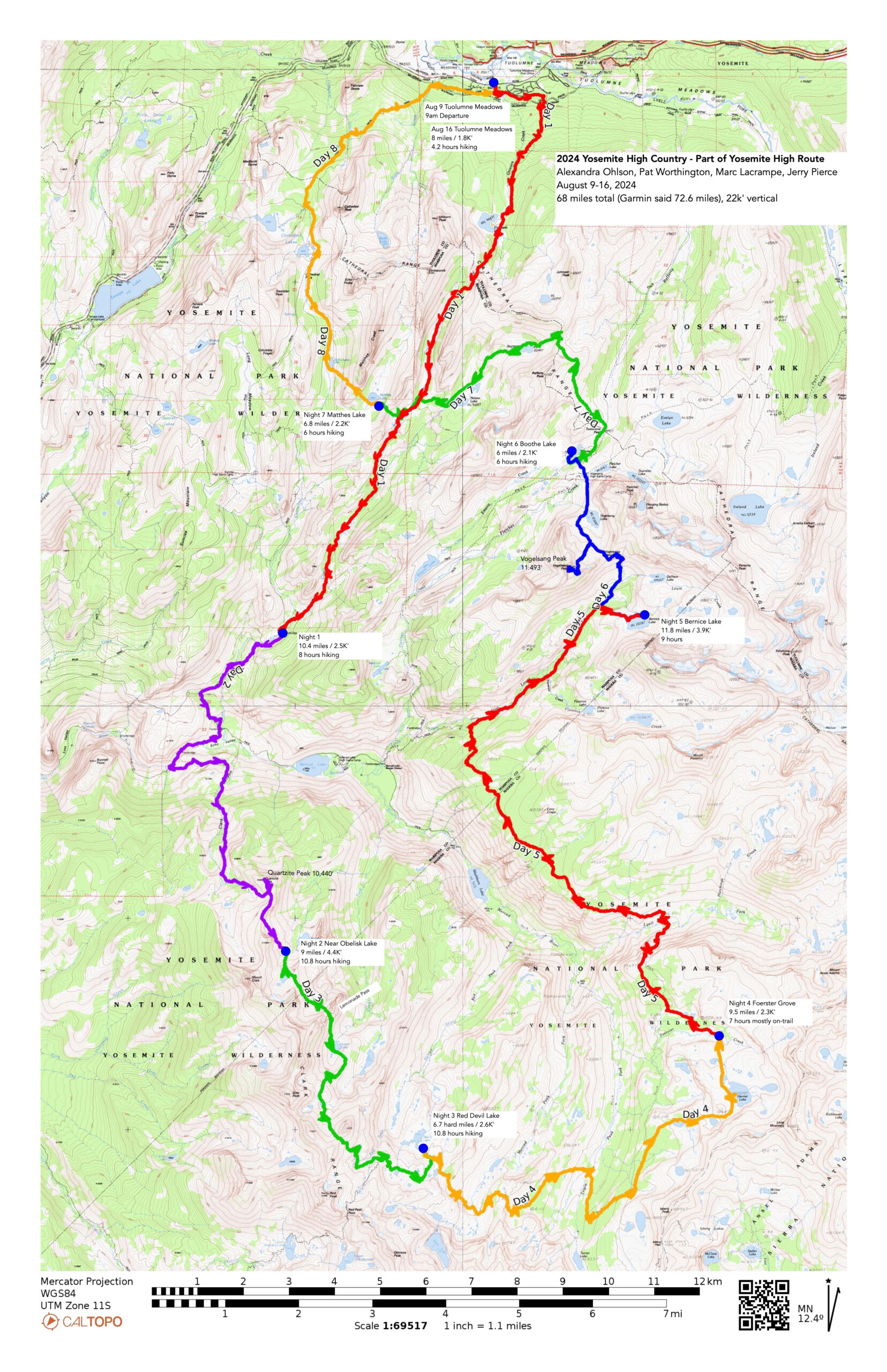
Off to do the Yosemite High Route! Well, maybe not. To say the least we (I) was under qualified for the distances and challenges that was the YHR. We did the first two days then made it into an incredible tour of the Yosemite High Country! Map on CalTopo: https://caltopo.com/m/1HA09SQ Here is the .gpx of the trek: https:/files.jerrypierce.org/gpx/2024-Yosemite.GPX
Our hope was to do the YHR (Yosemite High Route) southern section as planned by Andrew Skurka (AndrewSkurka.com/YHR). We were planning on spending two days to hike in Nelson Lake entry to get to the base of the start of the YHR (counter clockwise).
Getting a permit for Yosemite wilderness is a challenge. We entered the lottery and selected 8 options – from trailheads to dates. I “won” the lottery and was assigned Friday start to the Nelson cross-country trailhead (past Elizabeth lake). It was the least desirable of my lottery input. Oh well, it actually worked out MUCH better and I would do it again!
The logistics of our trip included Marc flying into SFO and meeting up with Pat on Thursday. We left at 3-ish and drove up to Yosemite and did car camping at Crane Flat campground arriving just before dark. We set up our tents (well except for Alexandra who slept in her luxury vehicle) and enjoyed the last day of close quarters with family campers.
The next morning off we went to drive up to Tuolumne Meadows Wilderness center to pick up our hiking permit and get the lecture. FINALLY around 9am we unloaded at the trailhead and off we went.
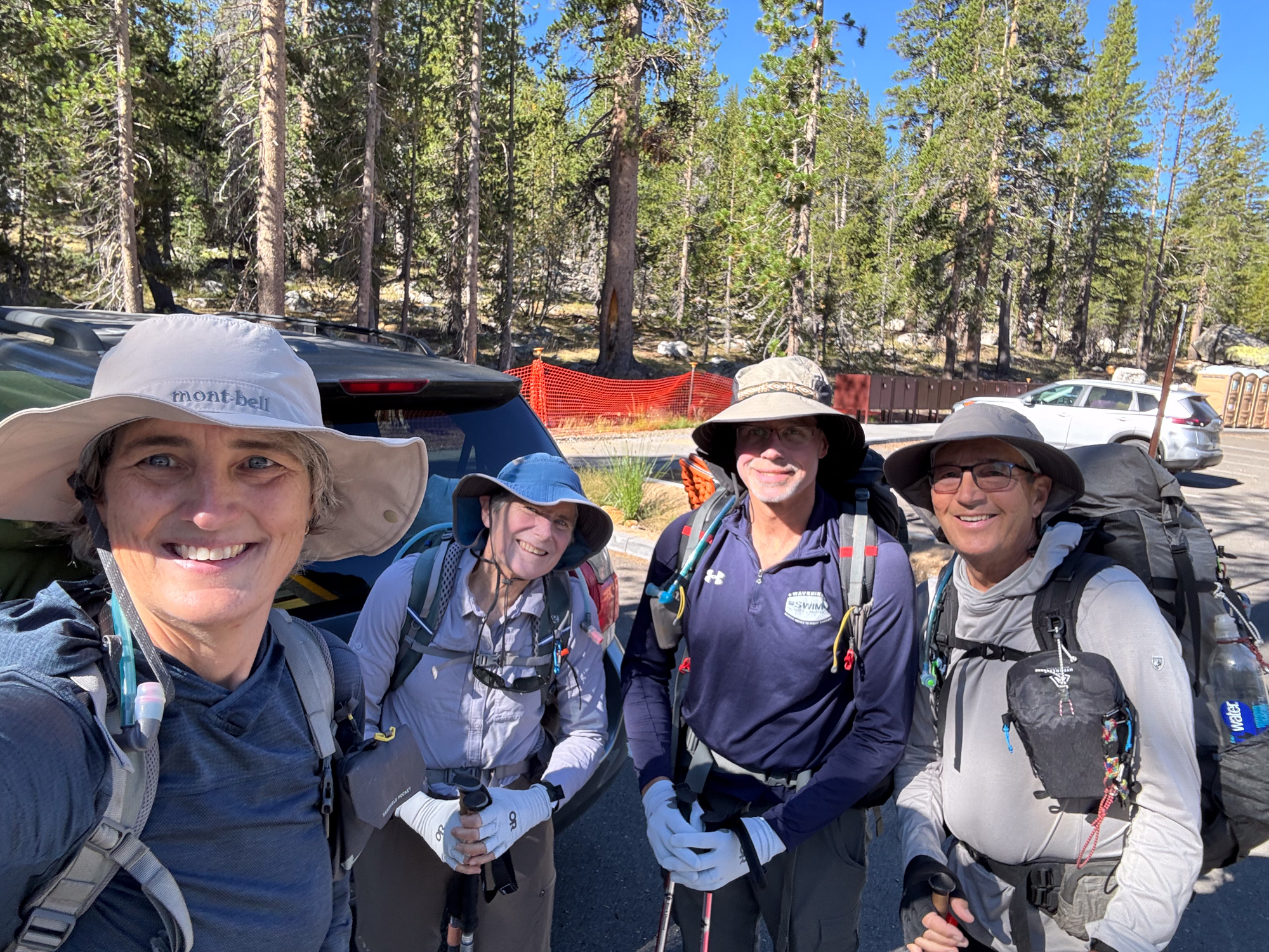
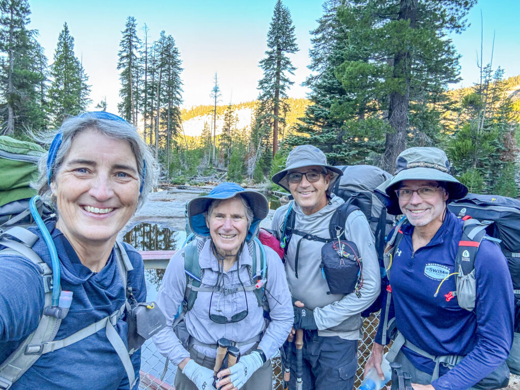
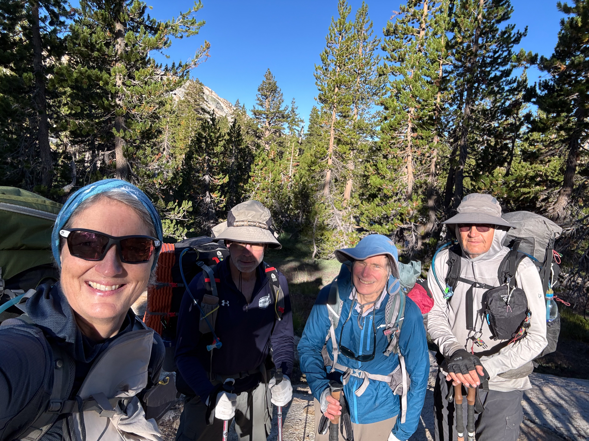
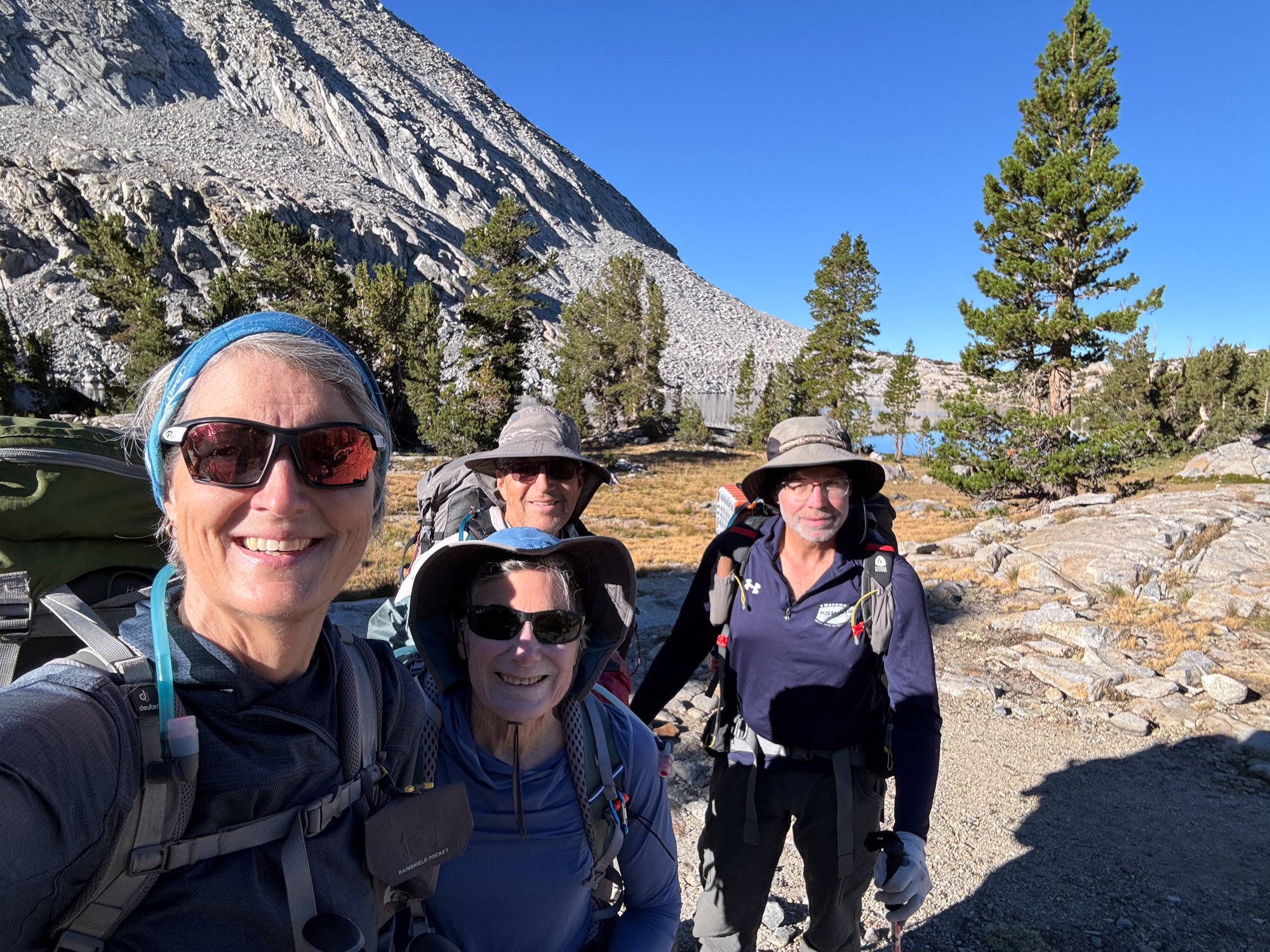
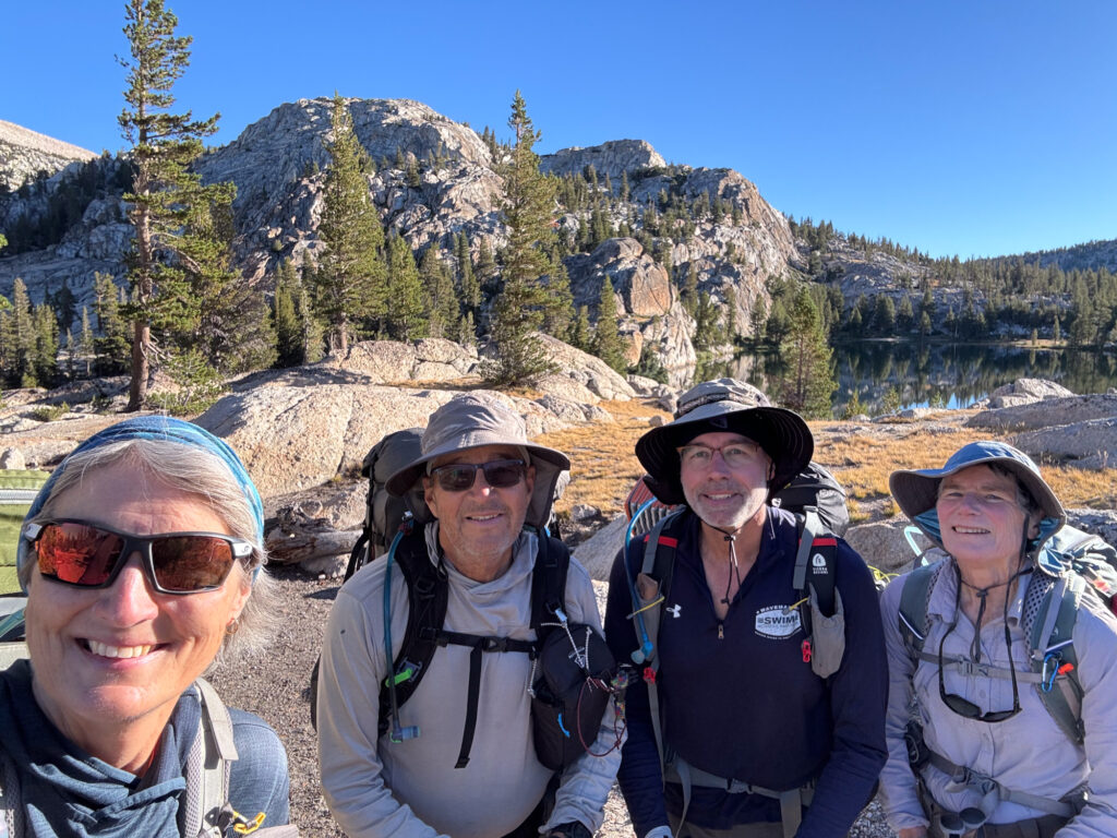
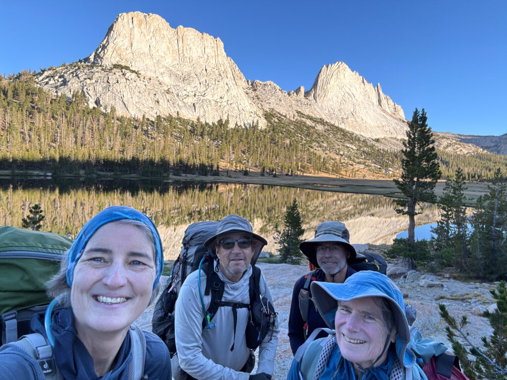
Alexandra takes a selfie at the start of each day. I’m sure it’s to monitor how we all change during the hike 😉
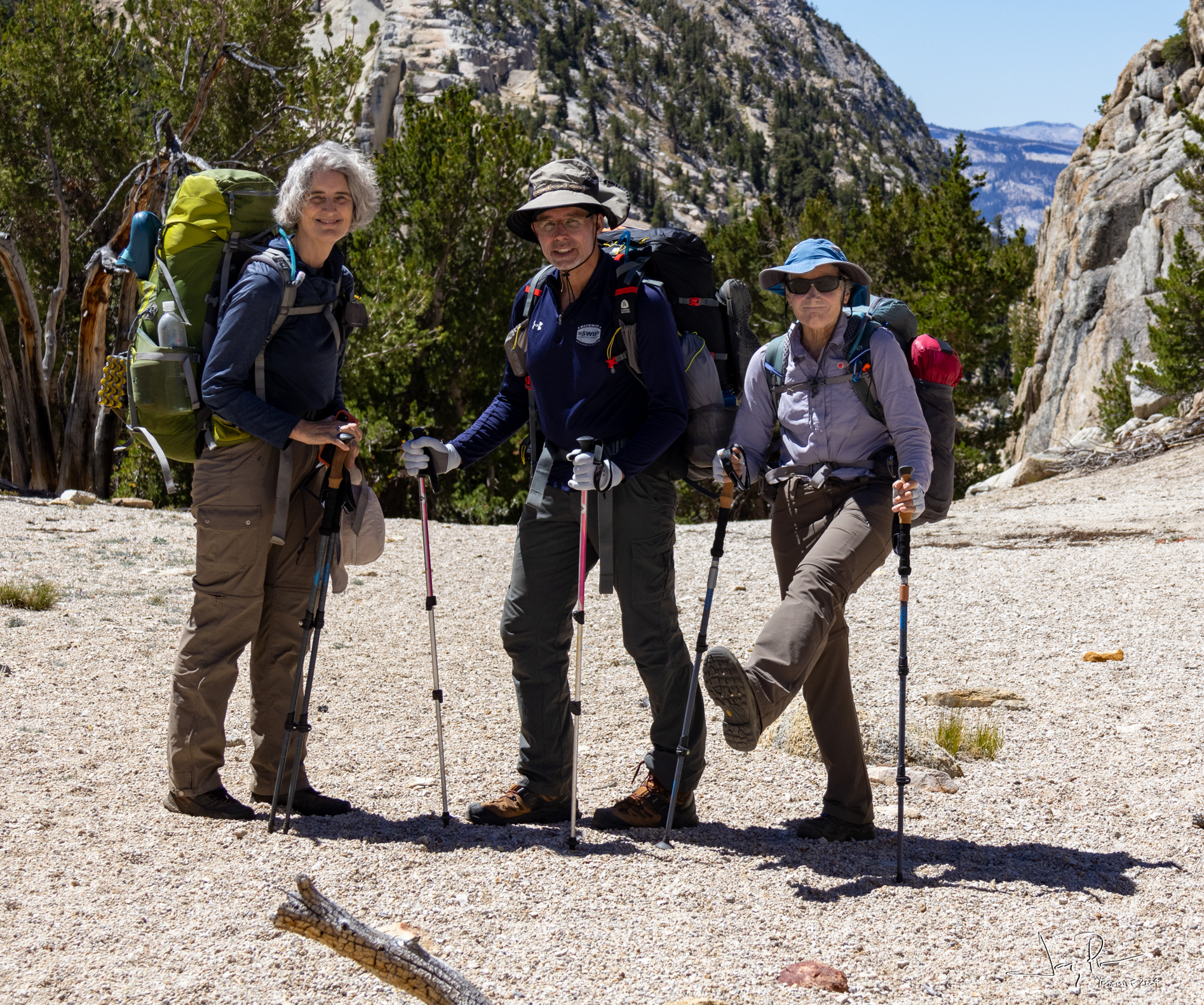
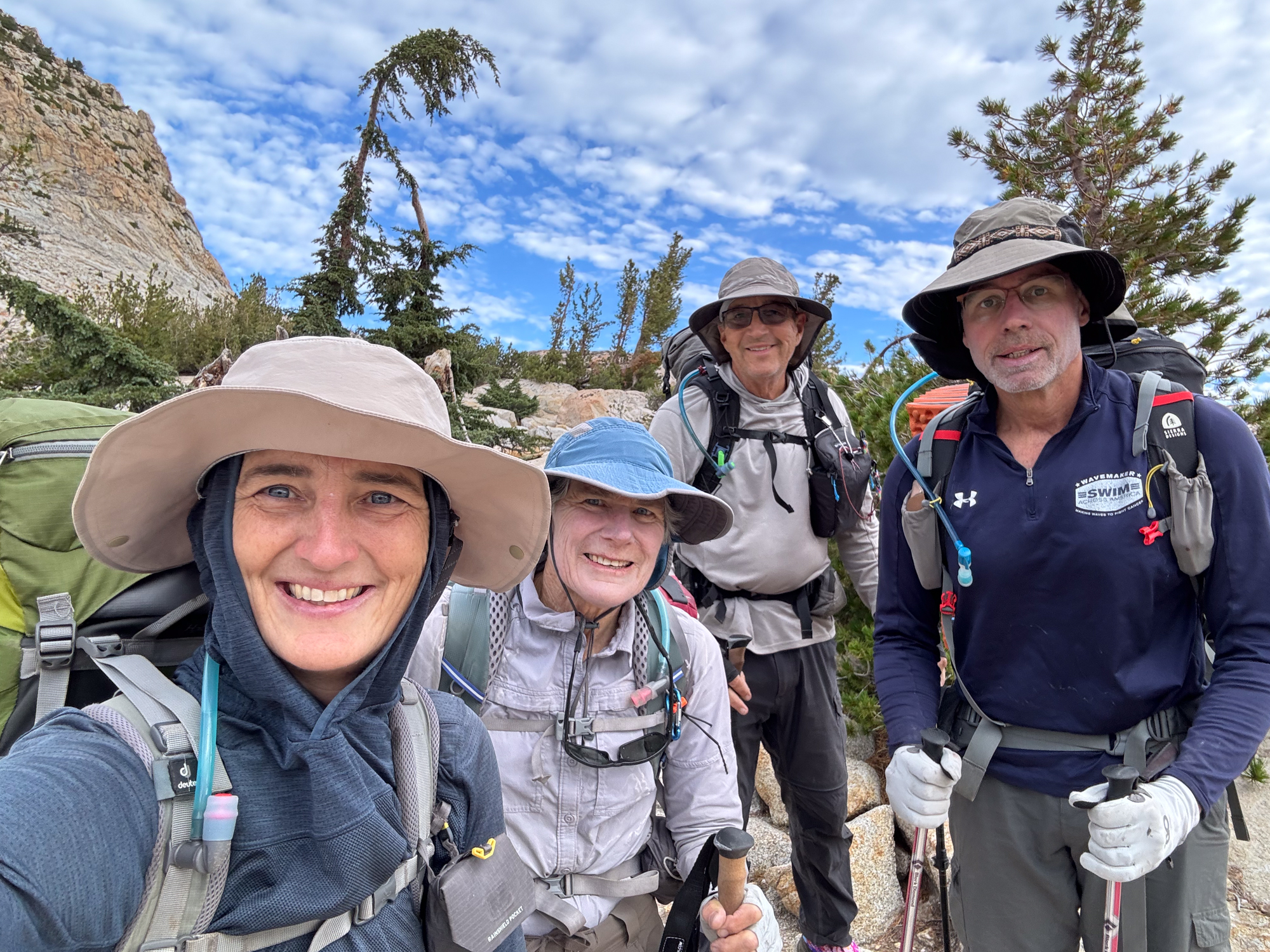
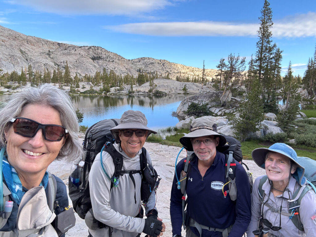
And we are four…
Pat had gone on the Sierra Club trek around Mt. Rainer and met Marc, a delightful hiker and he was willing to join us!! Little did he know what he was getting into… (I hope he joins us again!)
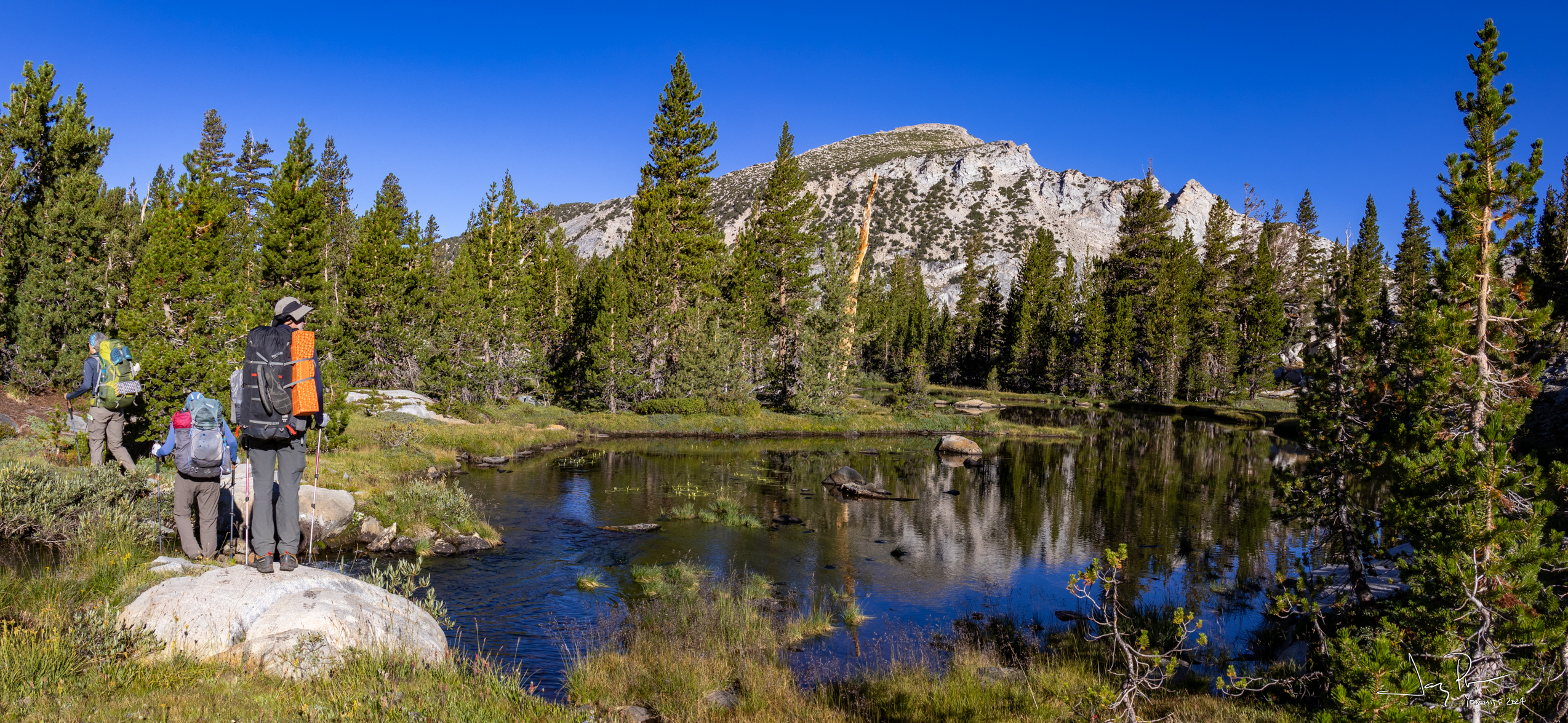
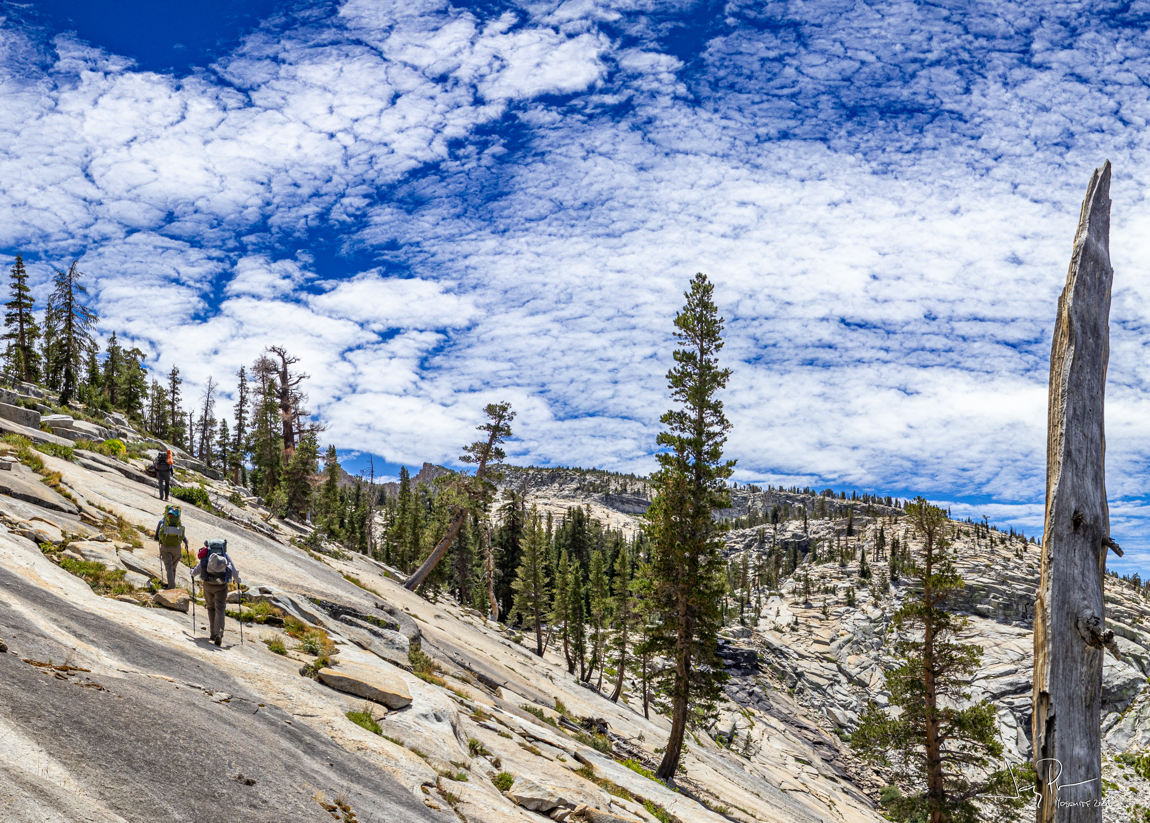
Walking past Elizabeth Lake (which, BTW, we never saw)
The pass above Elizabeth and the “headwaters” of Echo Creek.
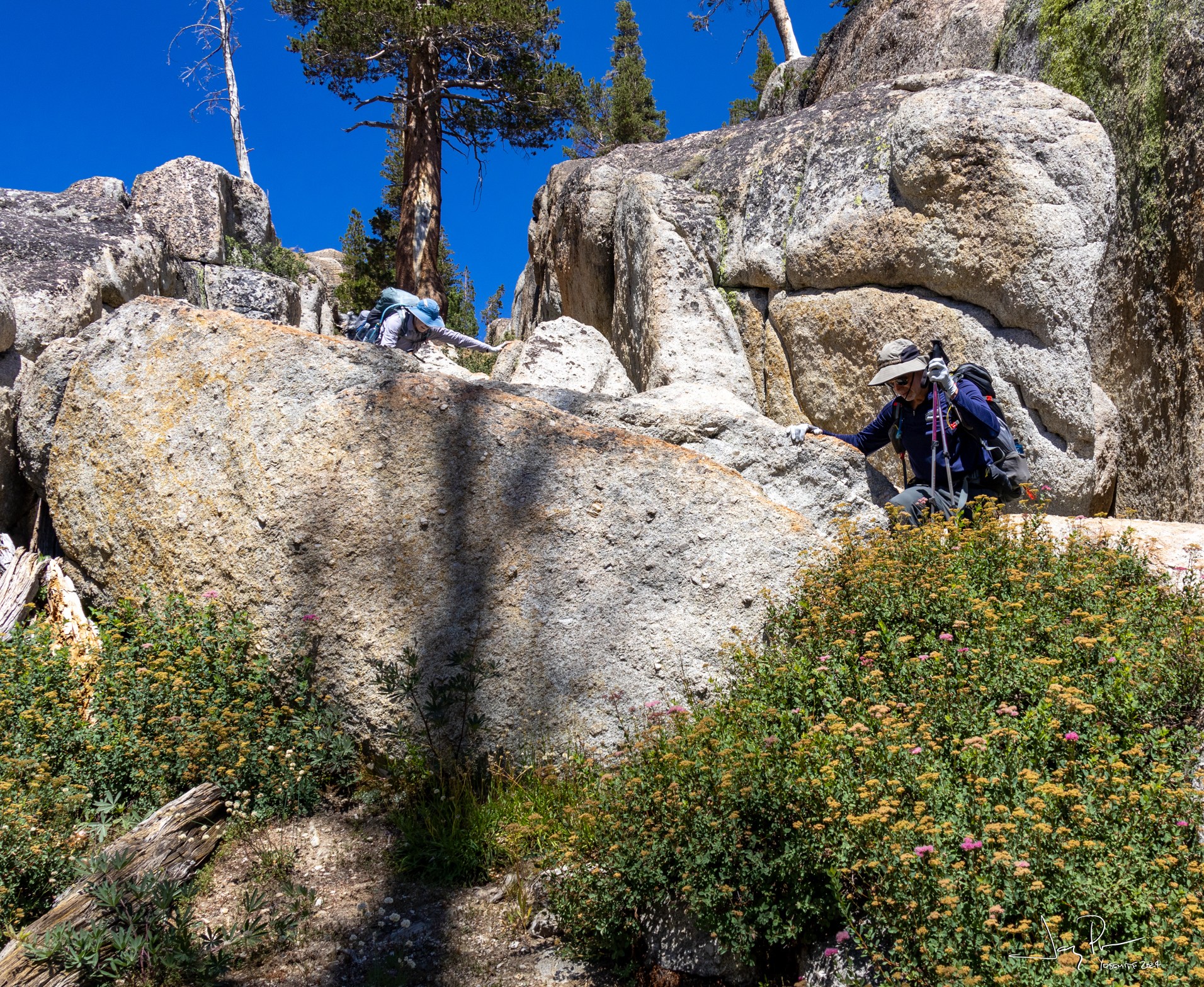
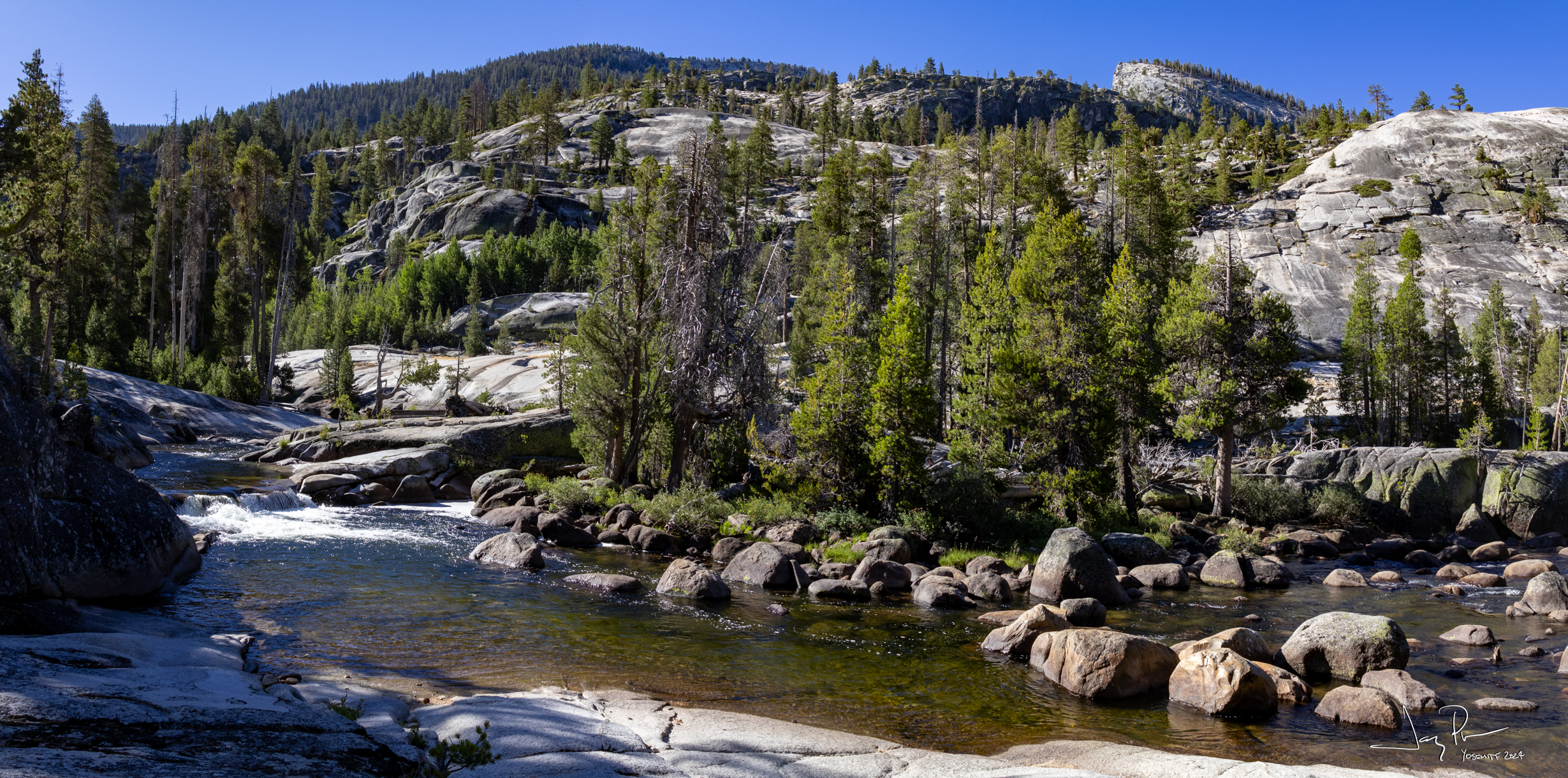
After leaving the use trail we head down Echo Creek, past Nelson Lake and head as far as possible toward the start of the YHR. We meet up with the High Sierra Loop and find a nice campsite near the footbridge.
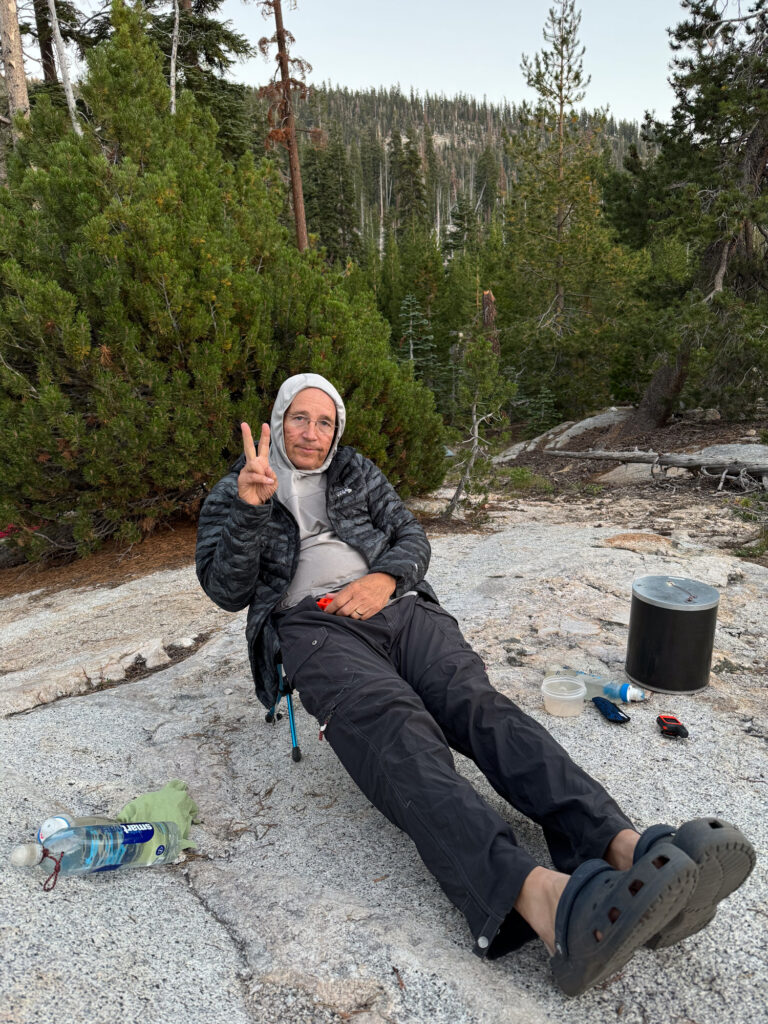
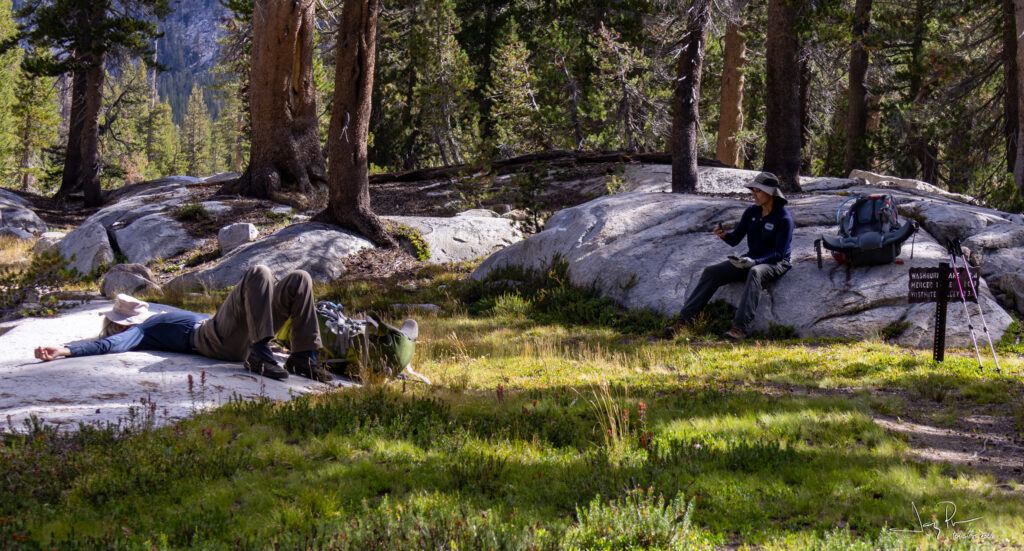
SOME of us bring our own chairs on the trek…
And off we go for Day 2 – headed to the start of the YHR!
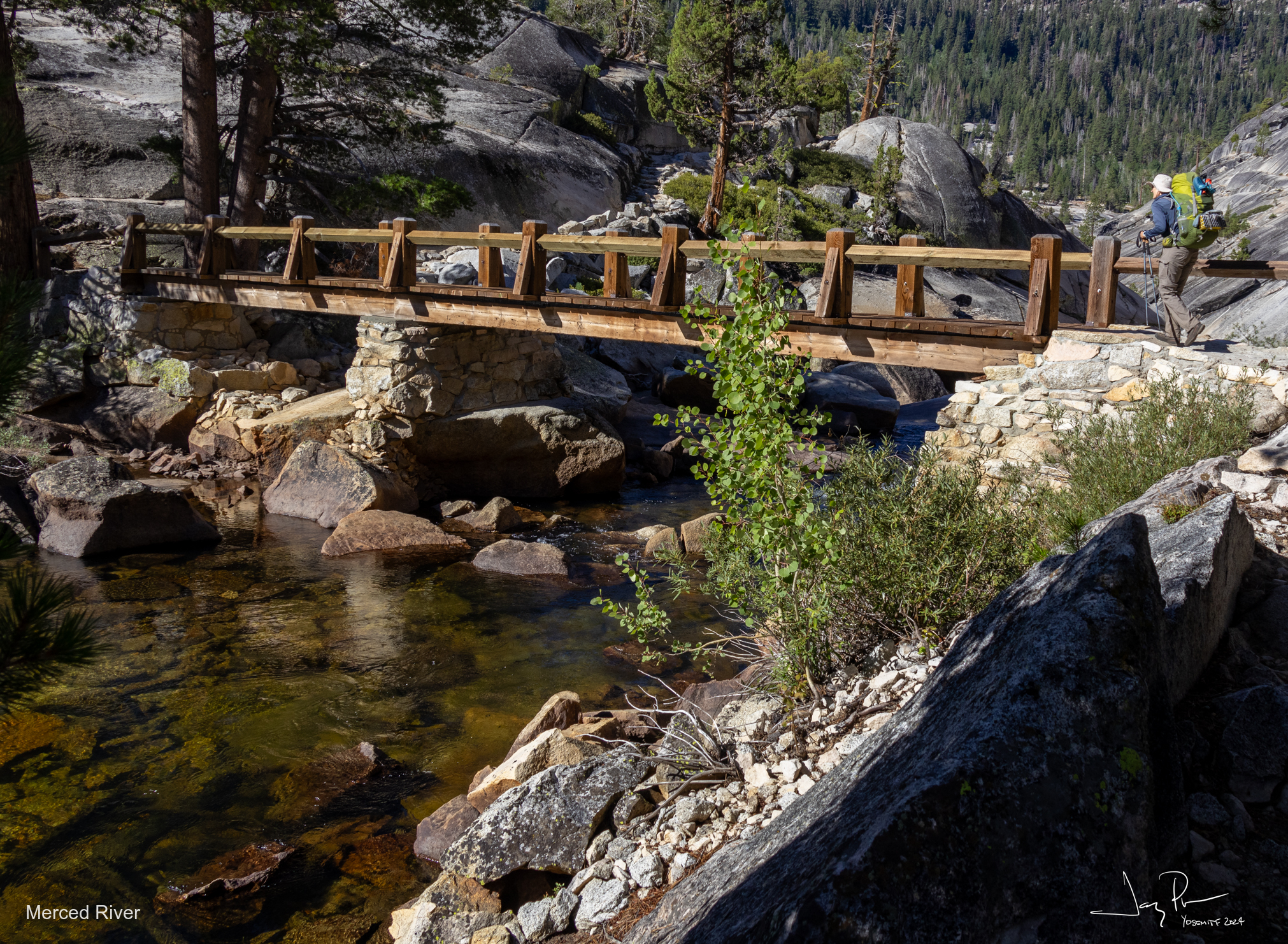
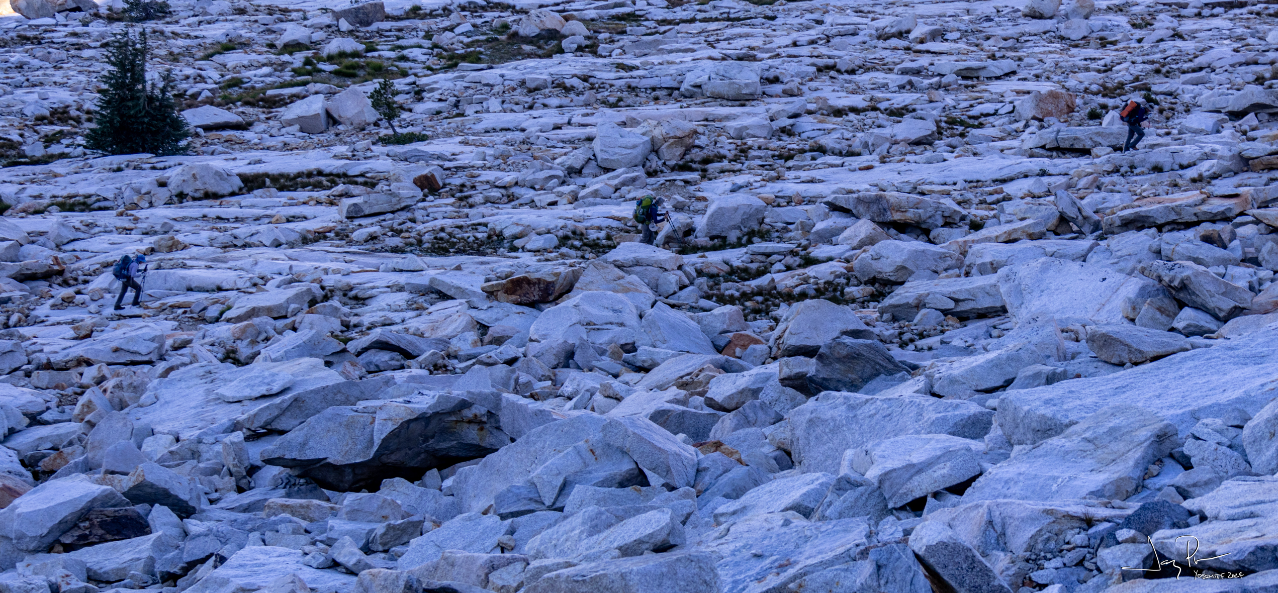
We go a short distance (a few miles) down Echo Creek, over to Merced River and cross this bridge. It brings us DOWN (to about 7,000′ altitude). Now that wouldn’t be a big deal, except that we are going to the TOP of Quartzite Peak (elevation 10,400′) in a few miles!
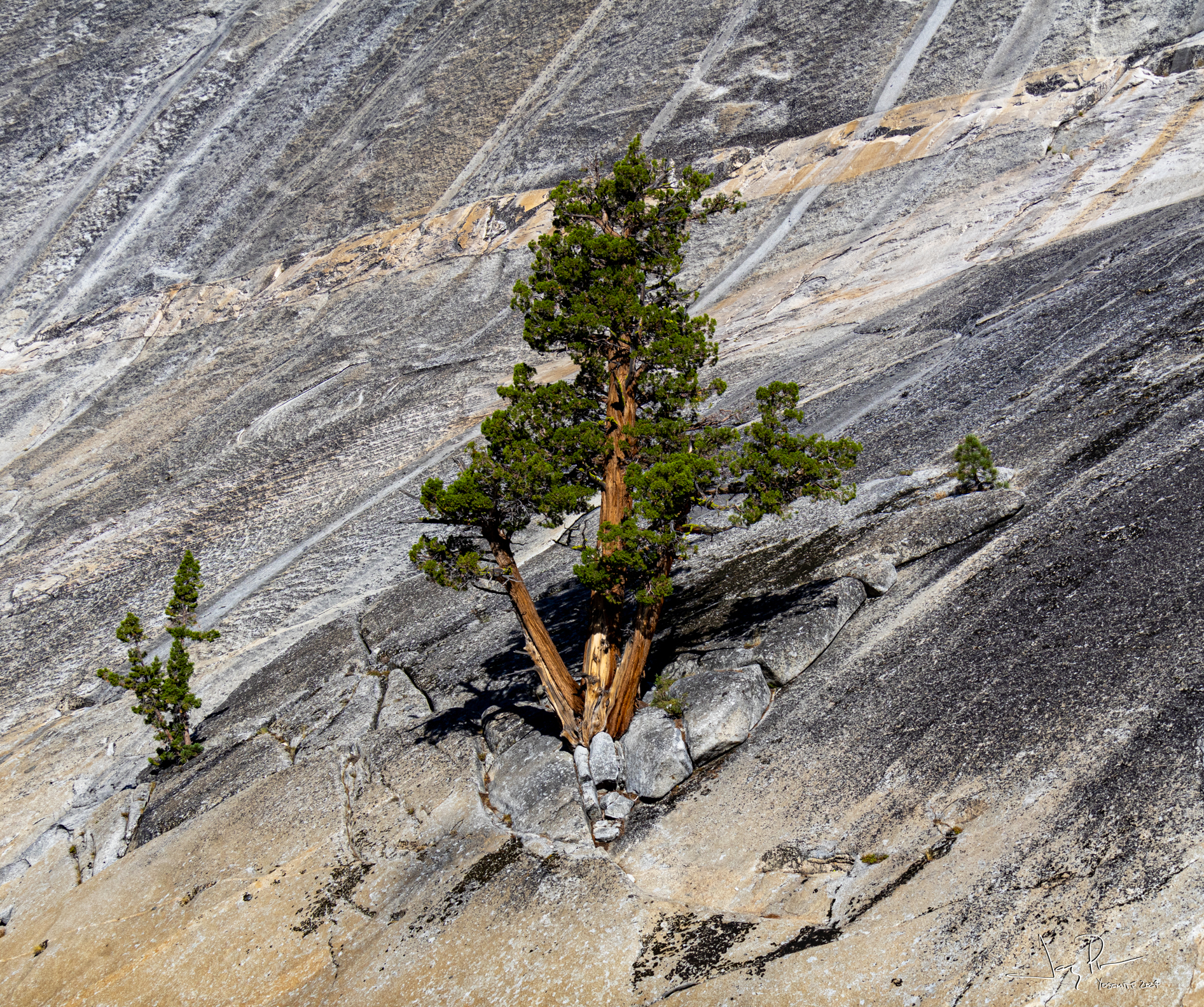
Some trees will do ANYTHING to survive..
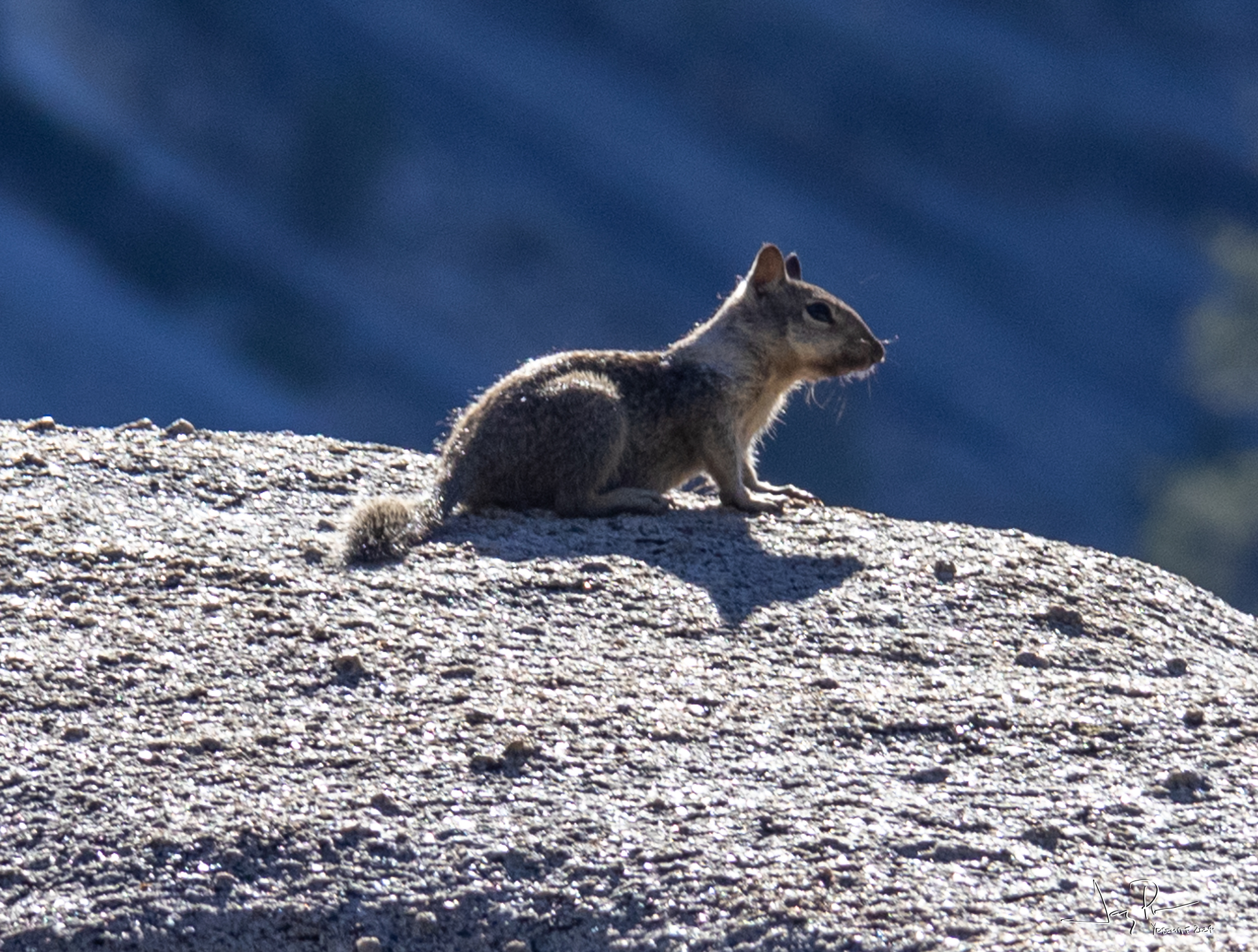
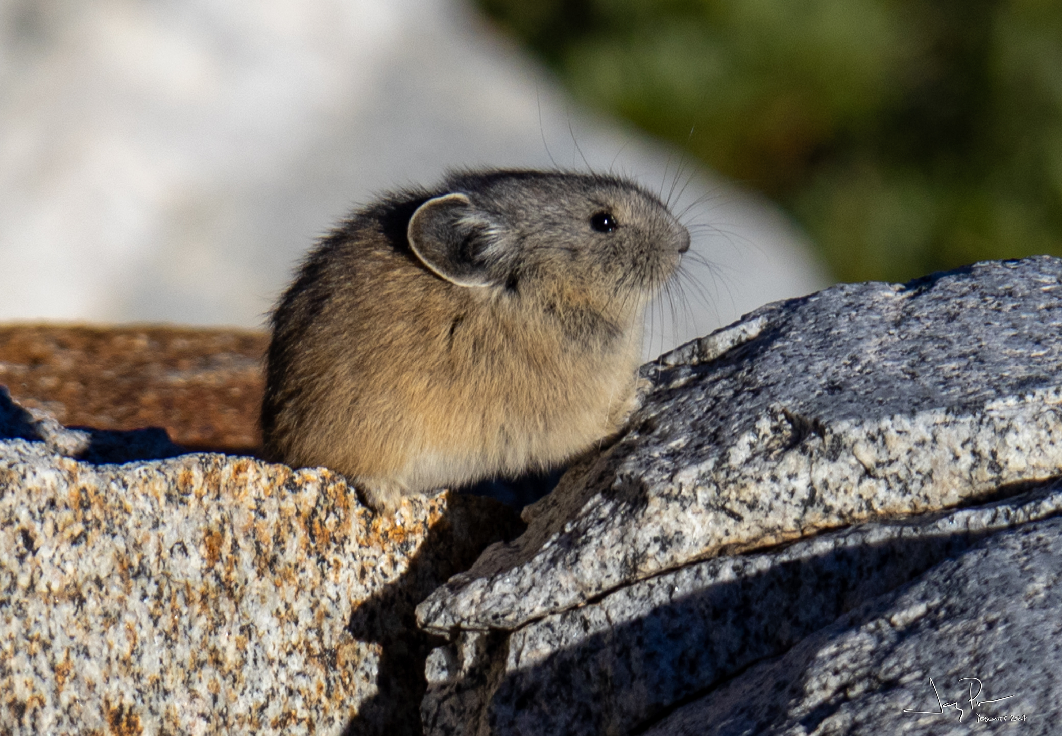
Always time to stop and appreciate a good rodent
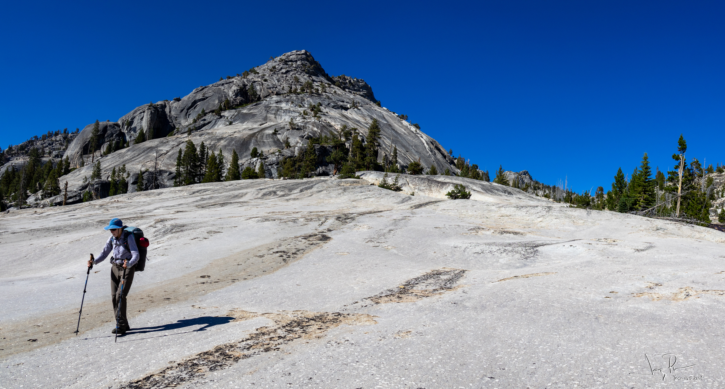
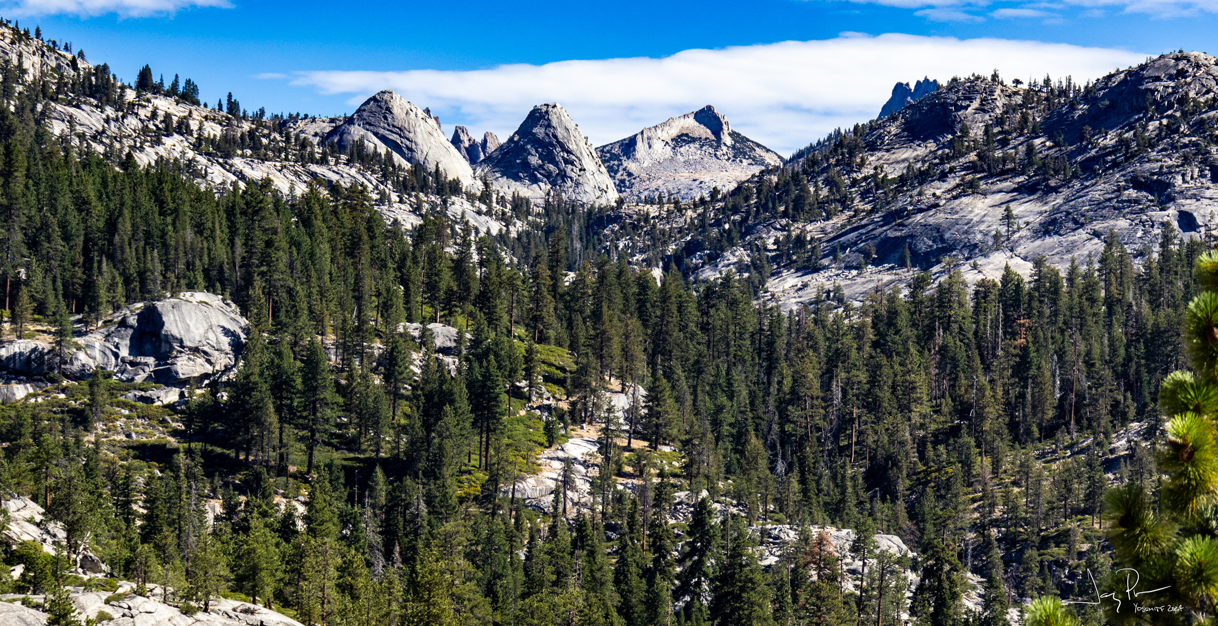
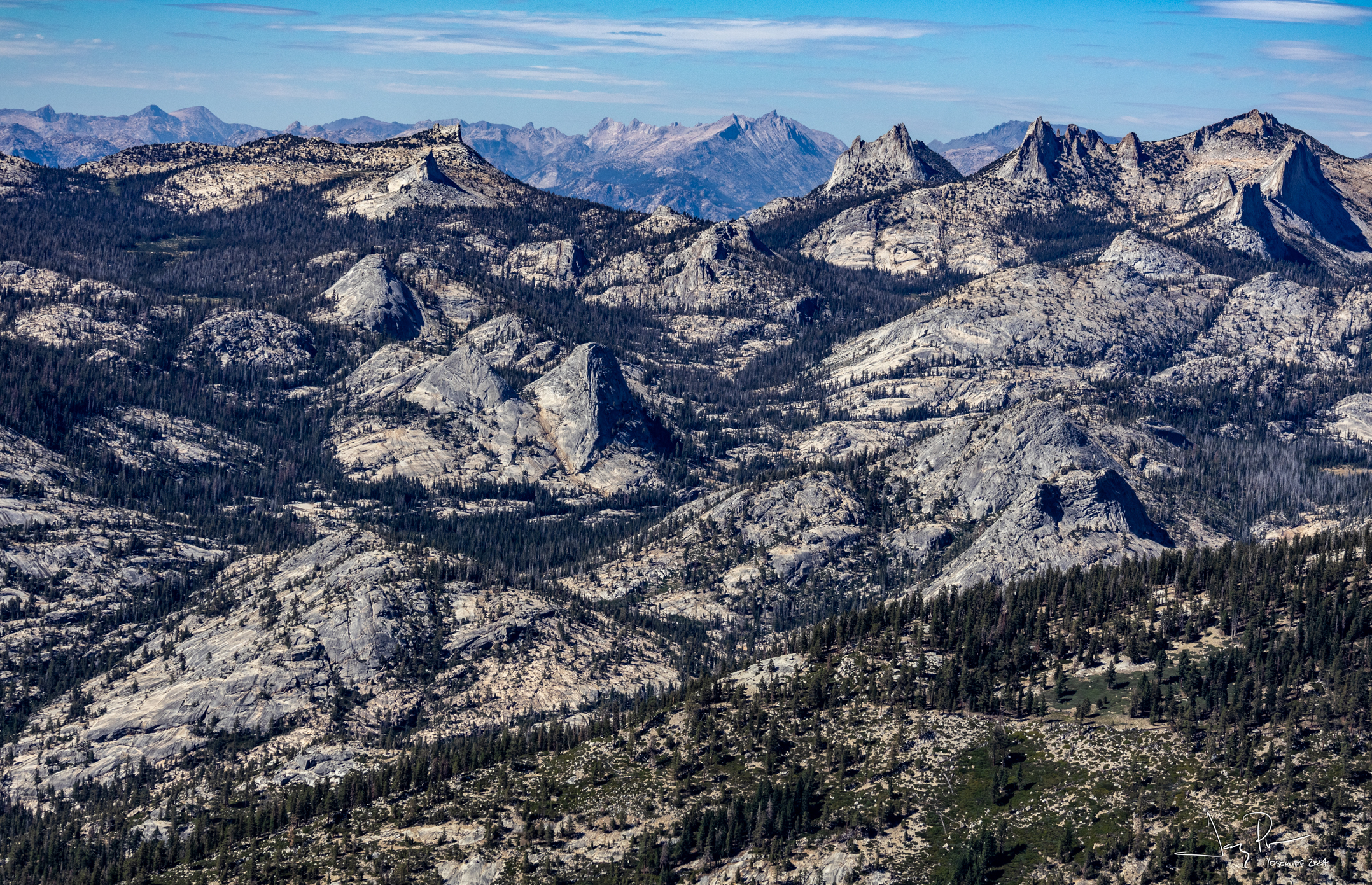
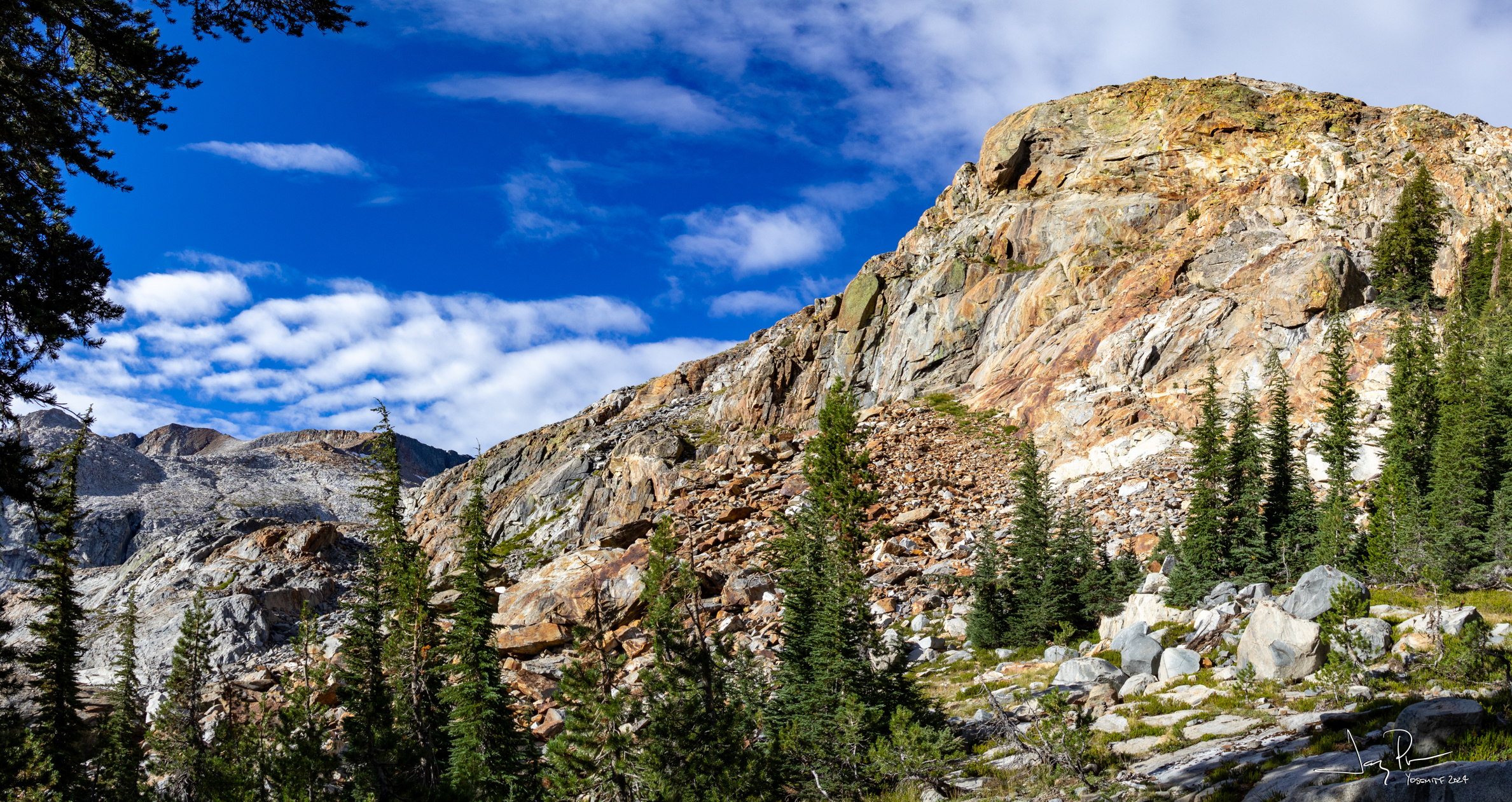
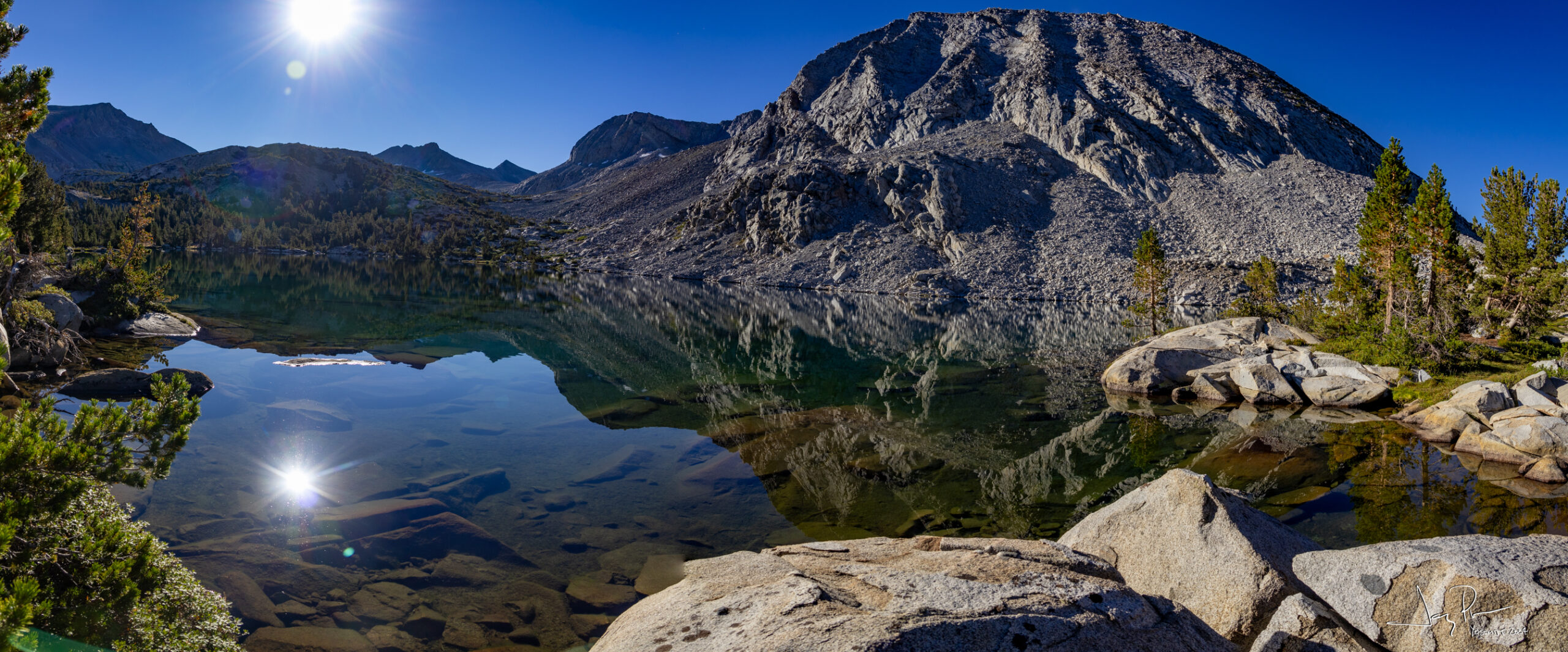
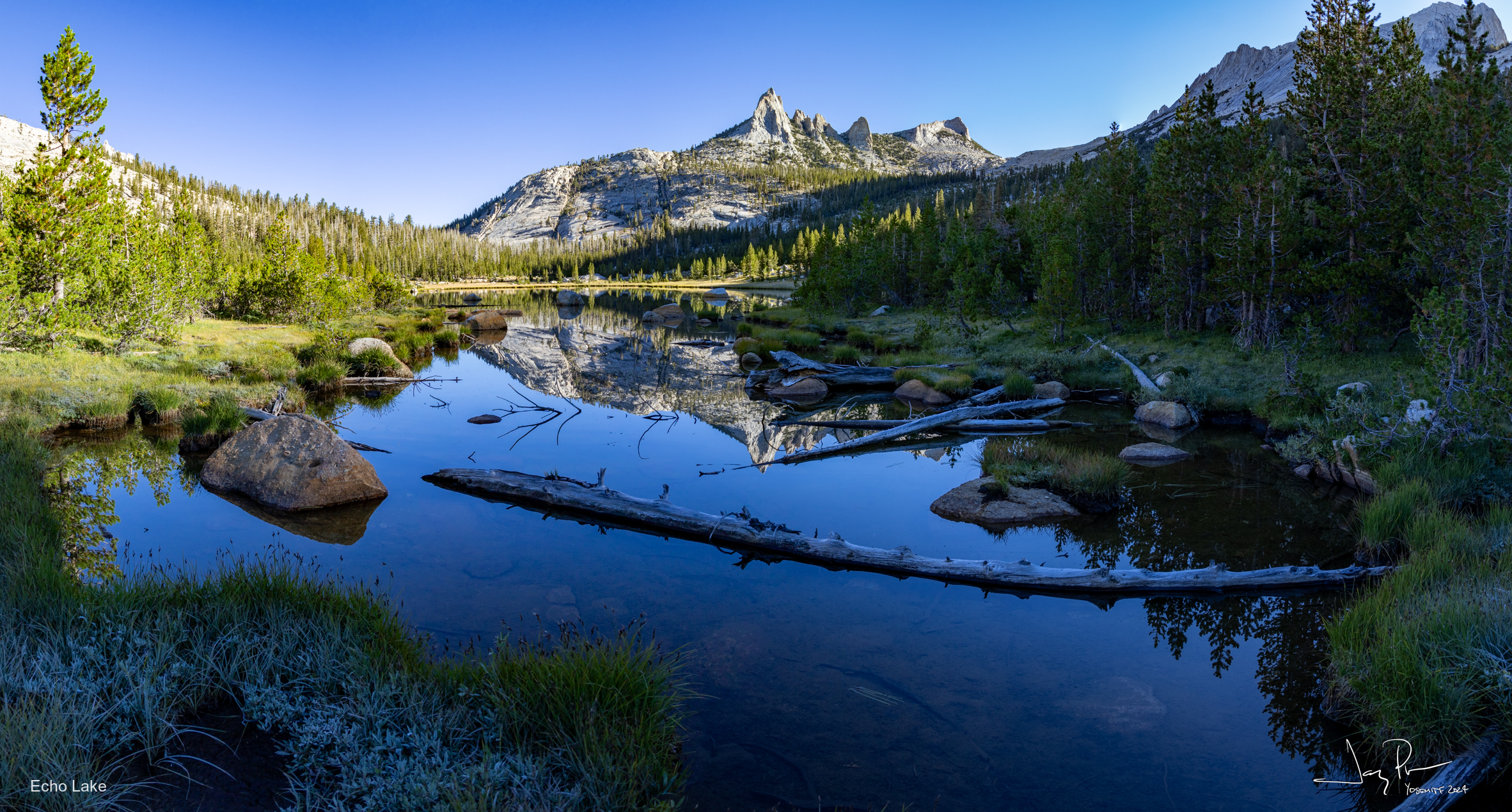
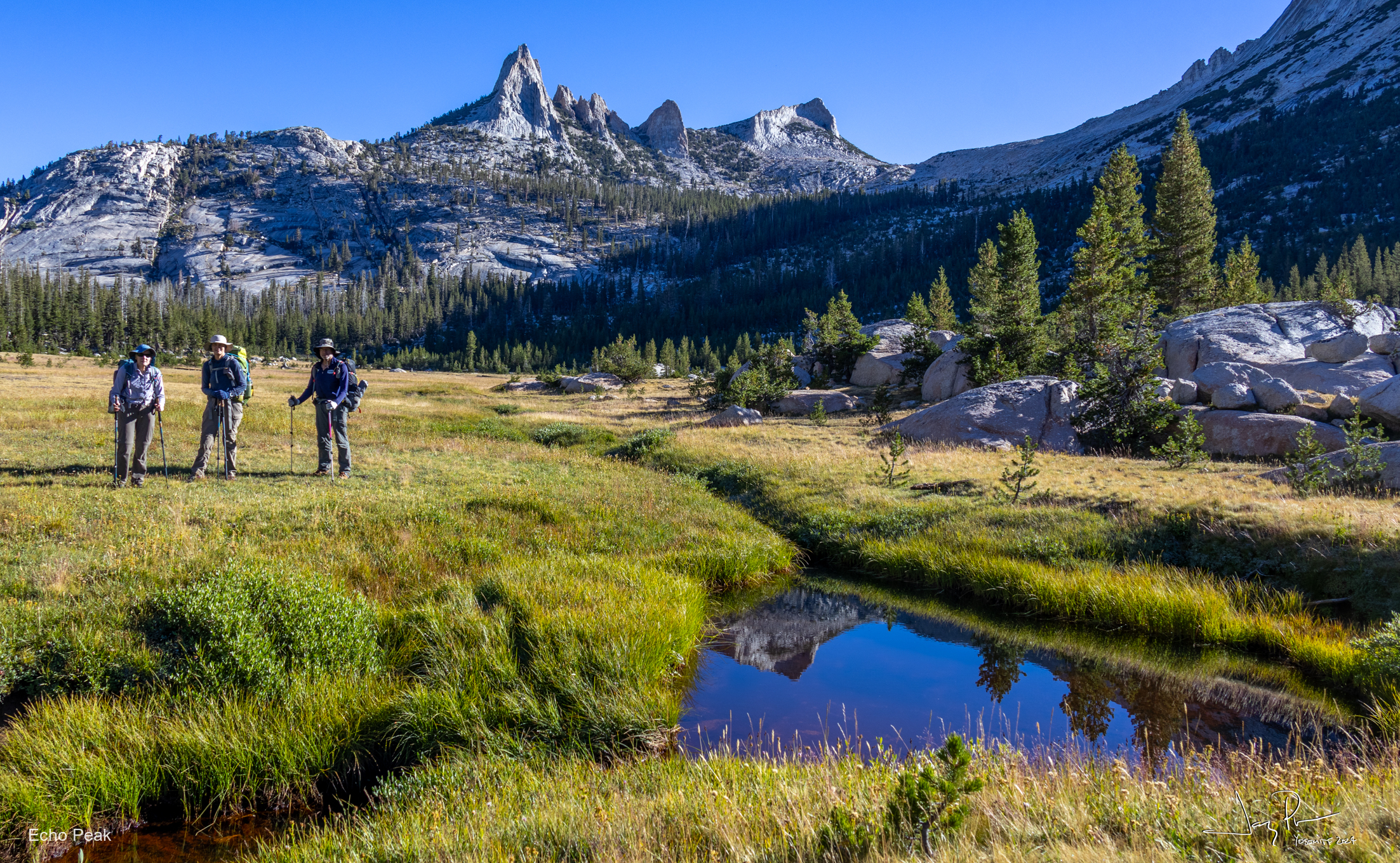
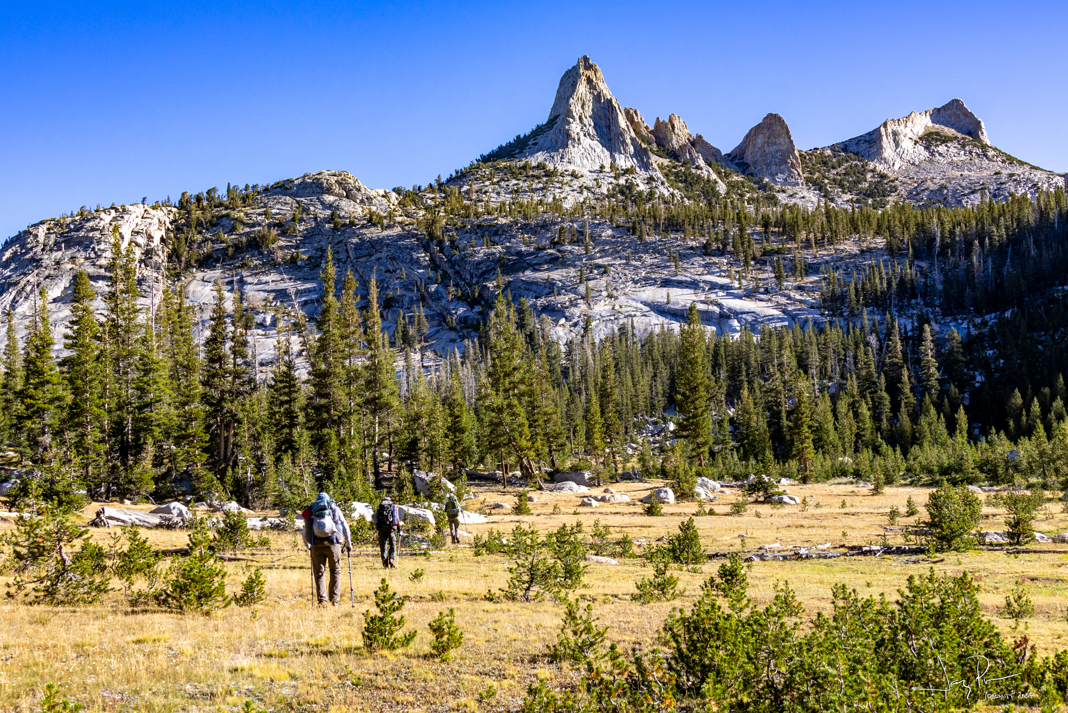
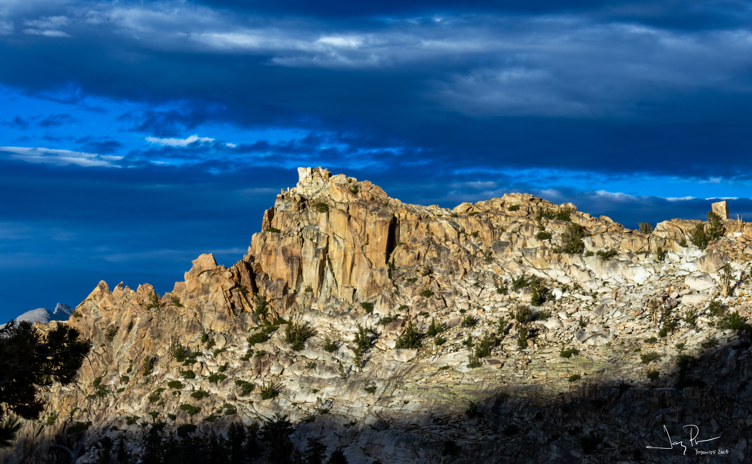
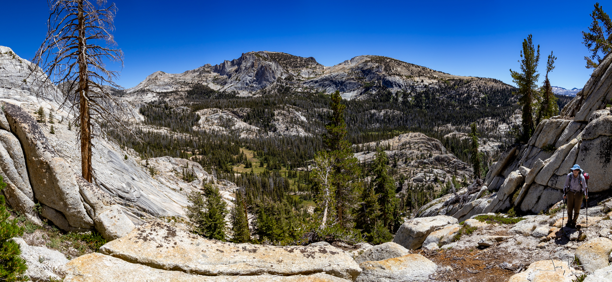
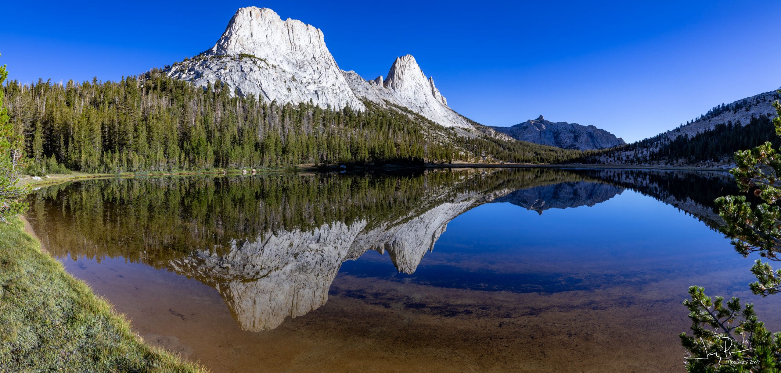
Looking up Echo Creek – we camped near the base of those two “cones”. Almost twin peaks :o)
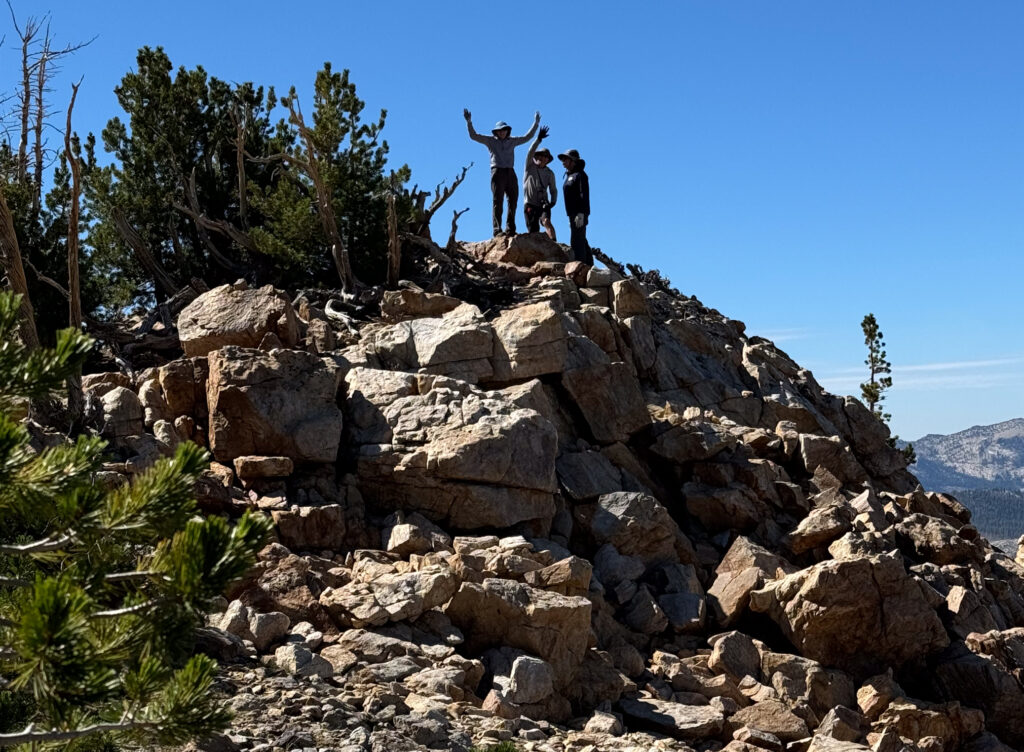
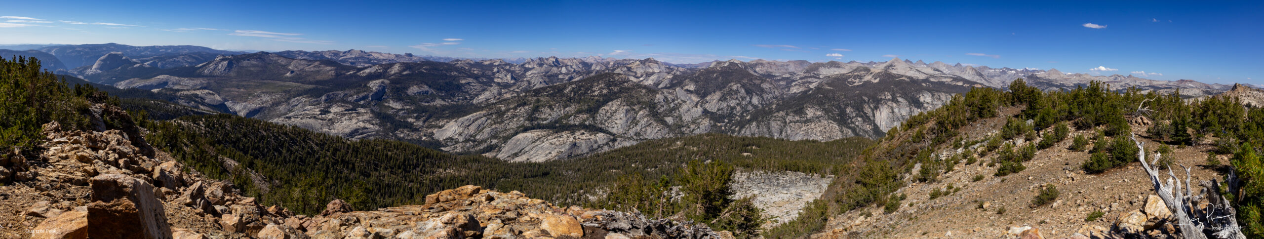
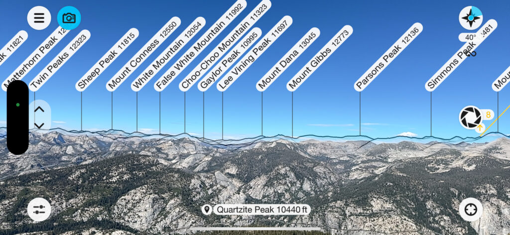
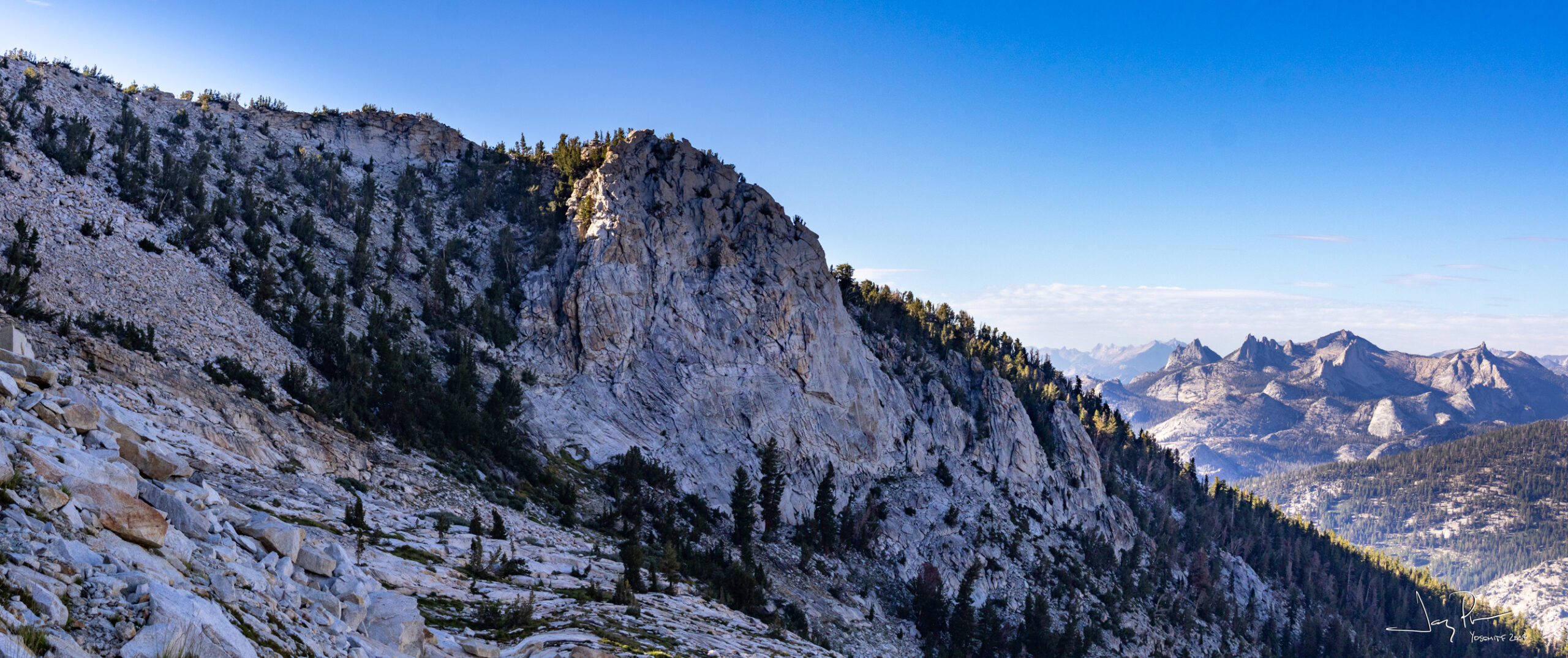
And we make it to the top of Quartzite Peak
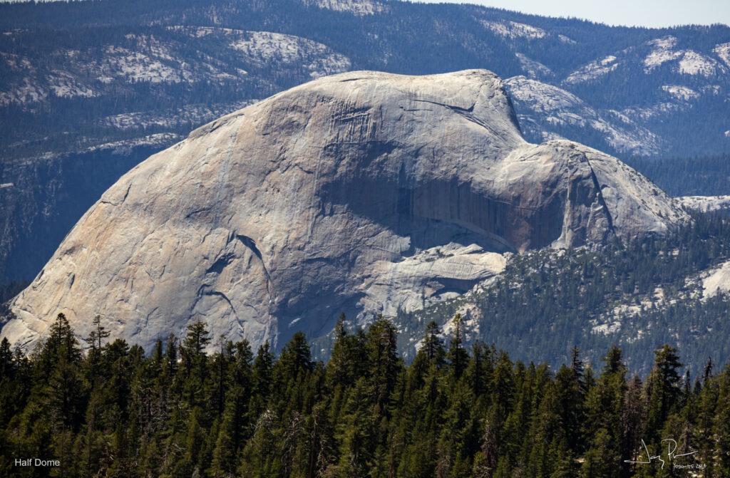
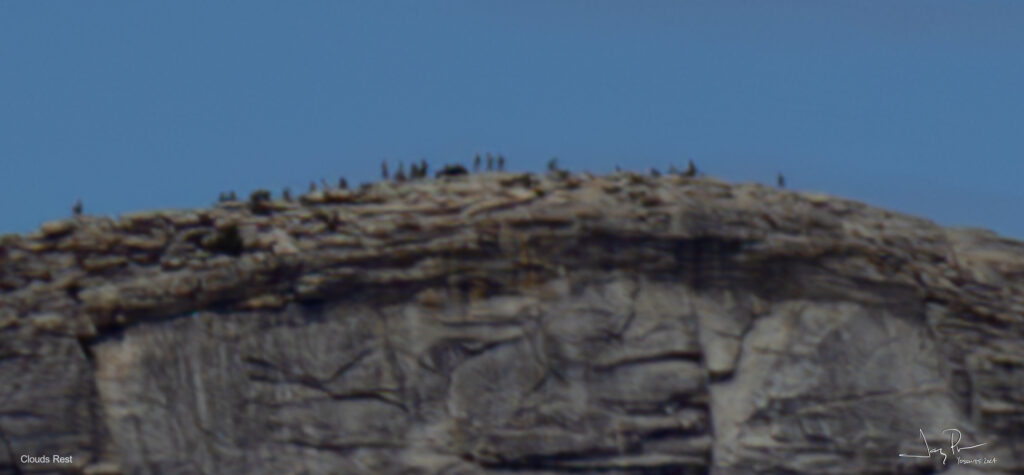
From the hike up we could look back and see half dome’s back side and Cloud’s Rest. Granted it’s a long ways so the people at the top were just dots.
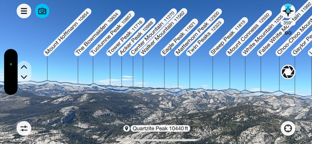
View from the top with the peaks identified using “Peak Finder” on the smartphone.
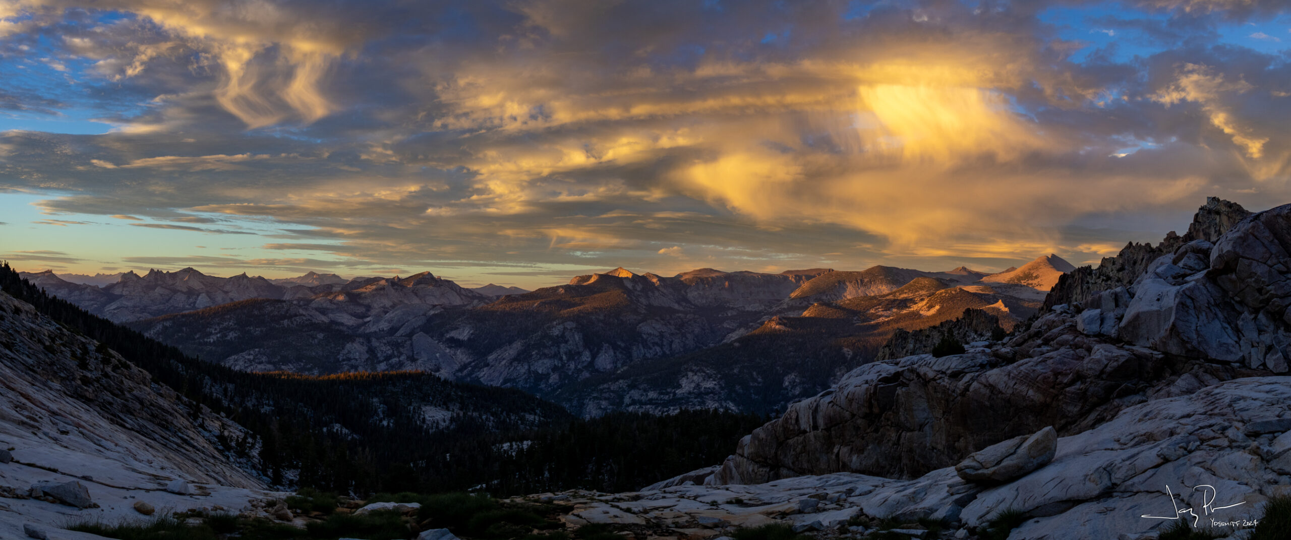
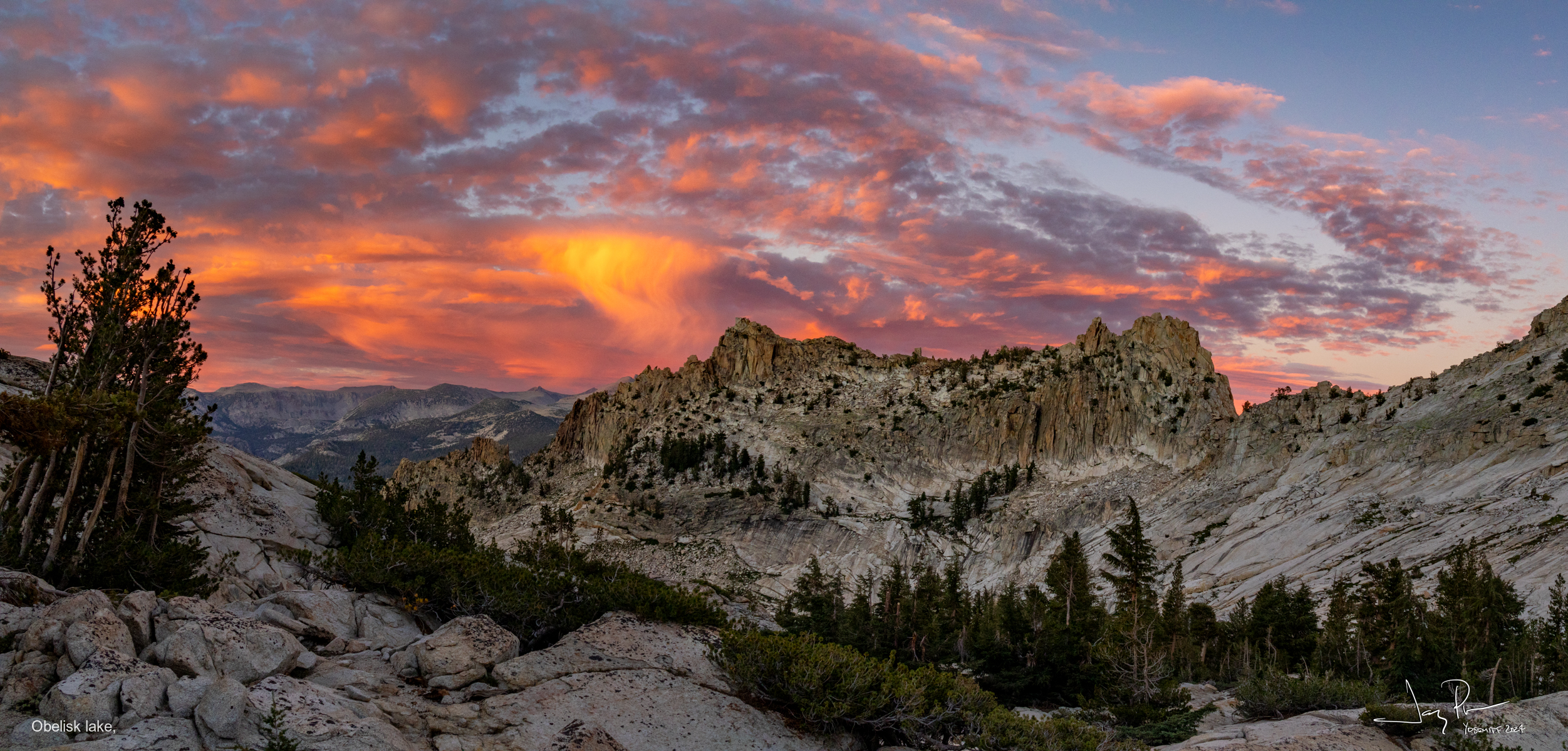
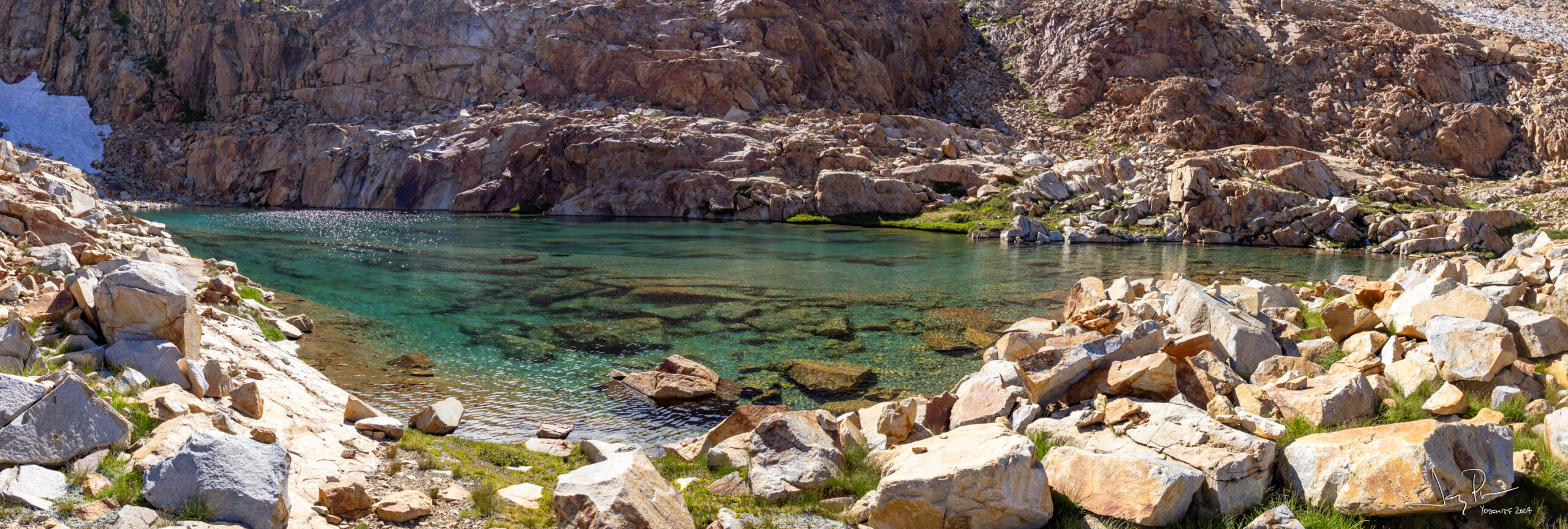
We follow the ridge for a while then head down THIS wall (the “green” section above). It was pretty steep! Then it was across a long set of rock hopping to make it to the tarn above Obelisk Lake
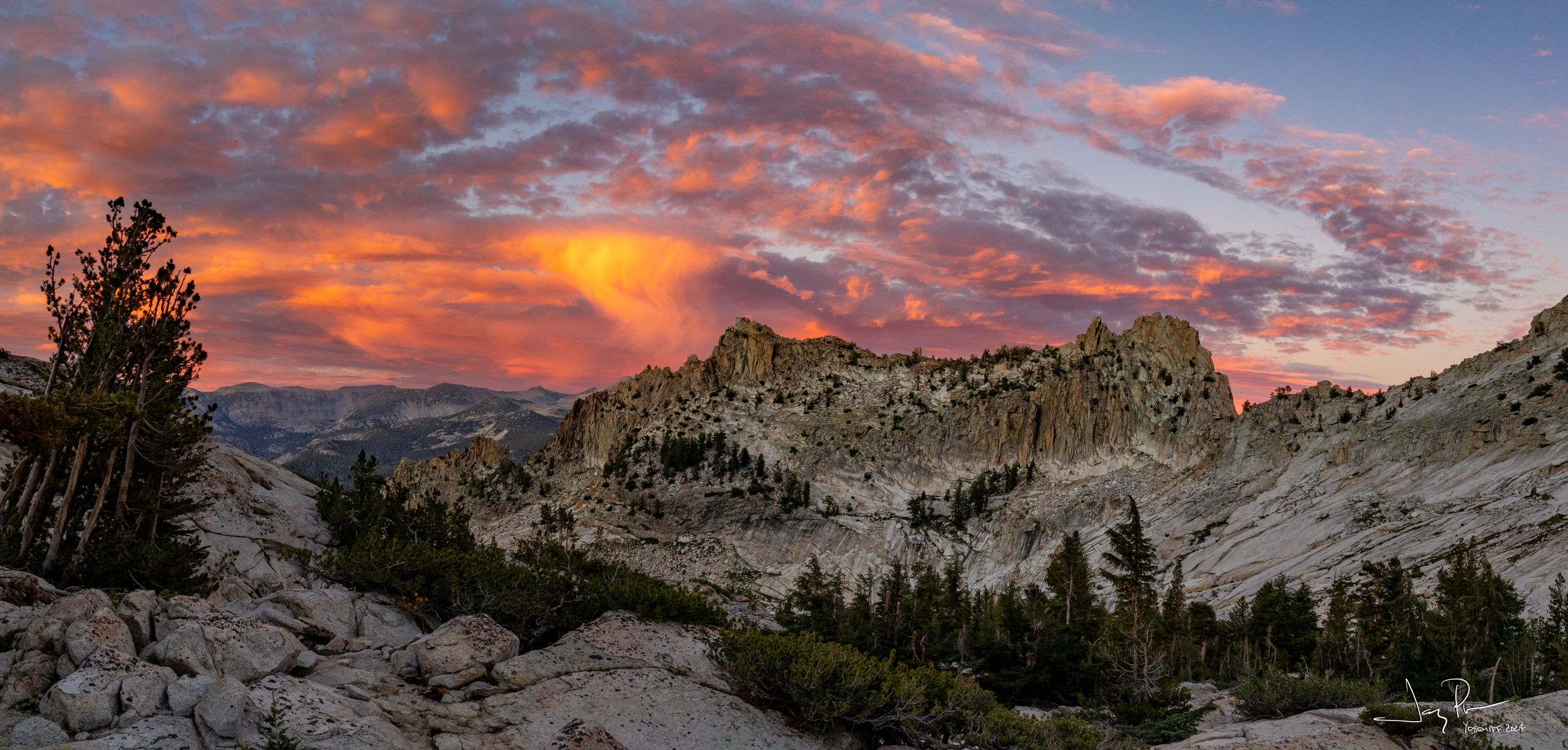
And we were treated to a wonderful sunset over Obelisk Lake!
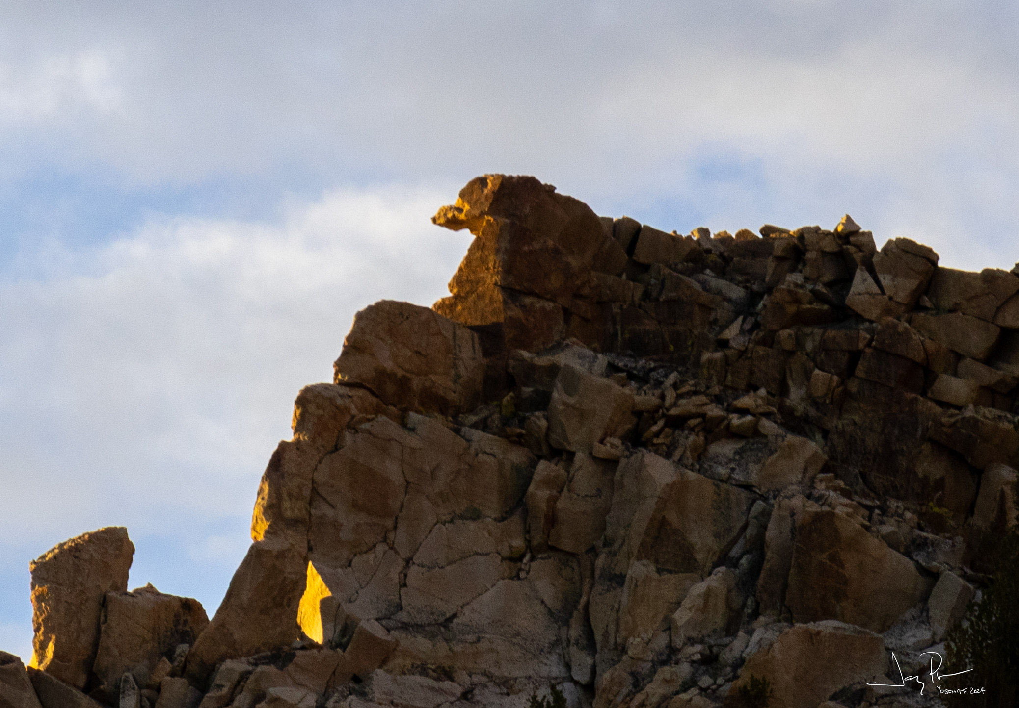
And the watchful eye of a dachshund. Or was it Wiley coyote?
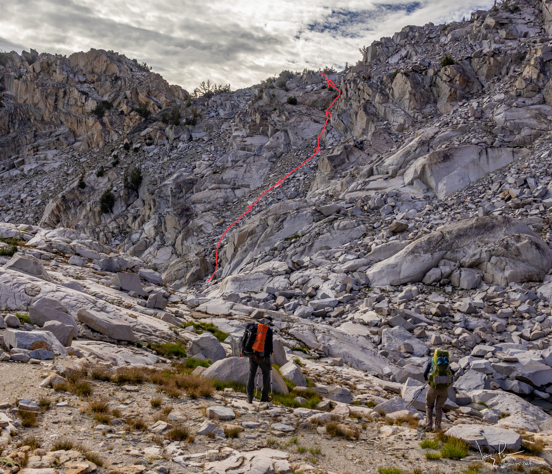
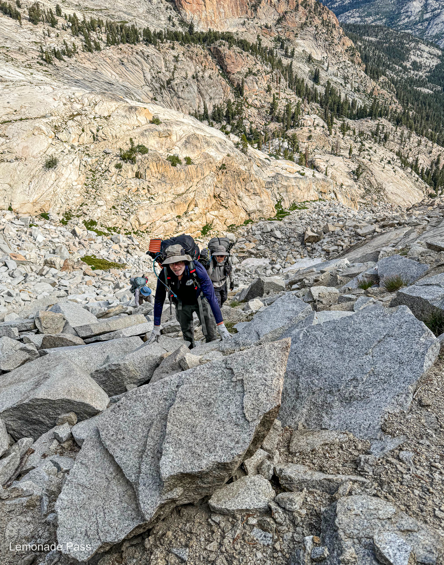
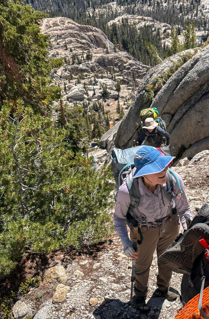
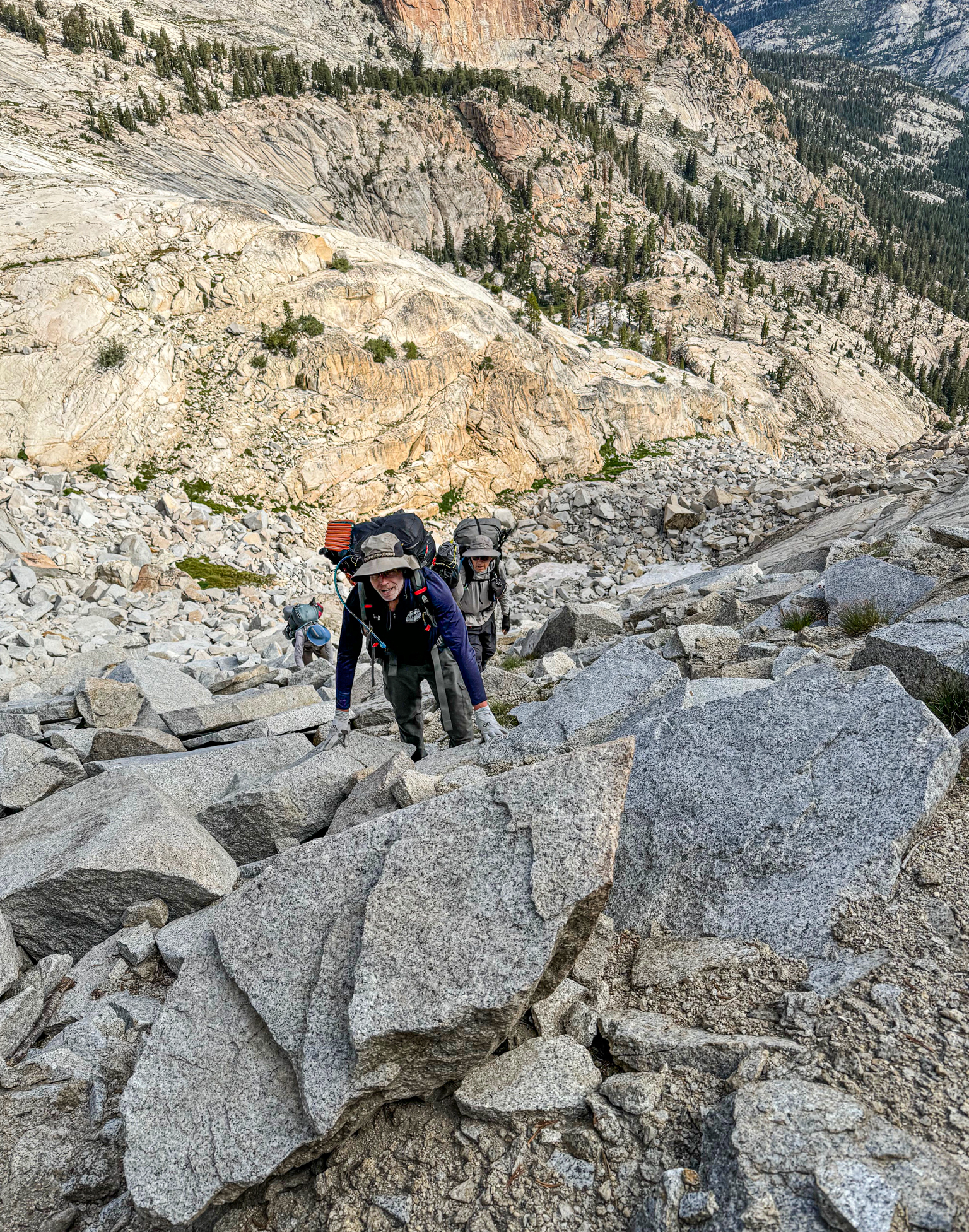
Day 3 – Lemonade Pass plus. We knew this was going to be a hard day. First up was Lemonade Pass – we had good descriptions of “take the right chute,” but the reality was a bit more scary? See the route in red below. And the getting down the other side was different, but just as challenging! Is this above my pay grade?
It wasn’t as bad as the looking, but still it was steep. We all made it up without any problems. At the top we had a good look at our NEXT pass (just to the right of that cone peak). It would be a long day.
From the lake on the above picture looking back at Lemonade Pass (back side).
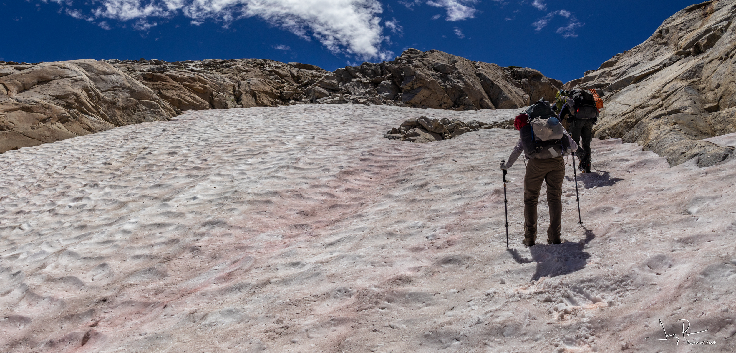
Why not have some snow to cross to make things more interesting?
Crossing the second pass…
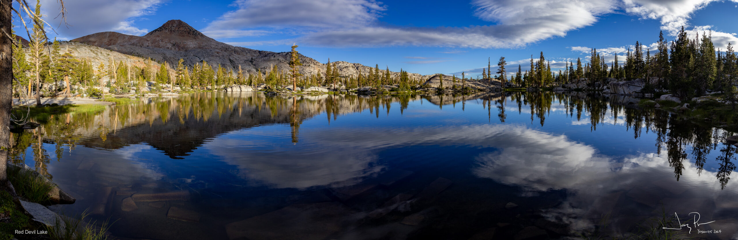
But then we make it to Red Devil Lake and such a pretty place… But it was late and we were really tired. A lot of re-thinking going on.
Day 4 – departing Red Devil Lake – mostly on-trail on our way to Harriet Lake area.
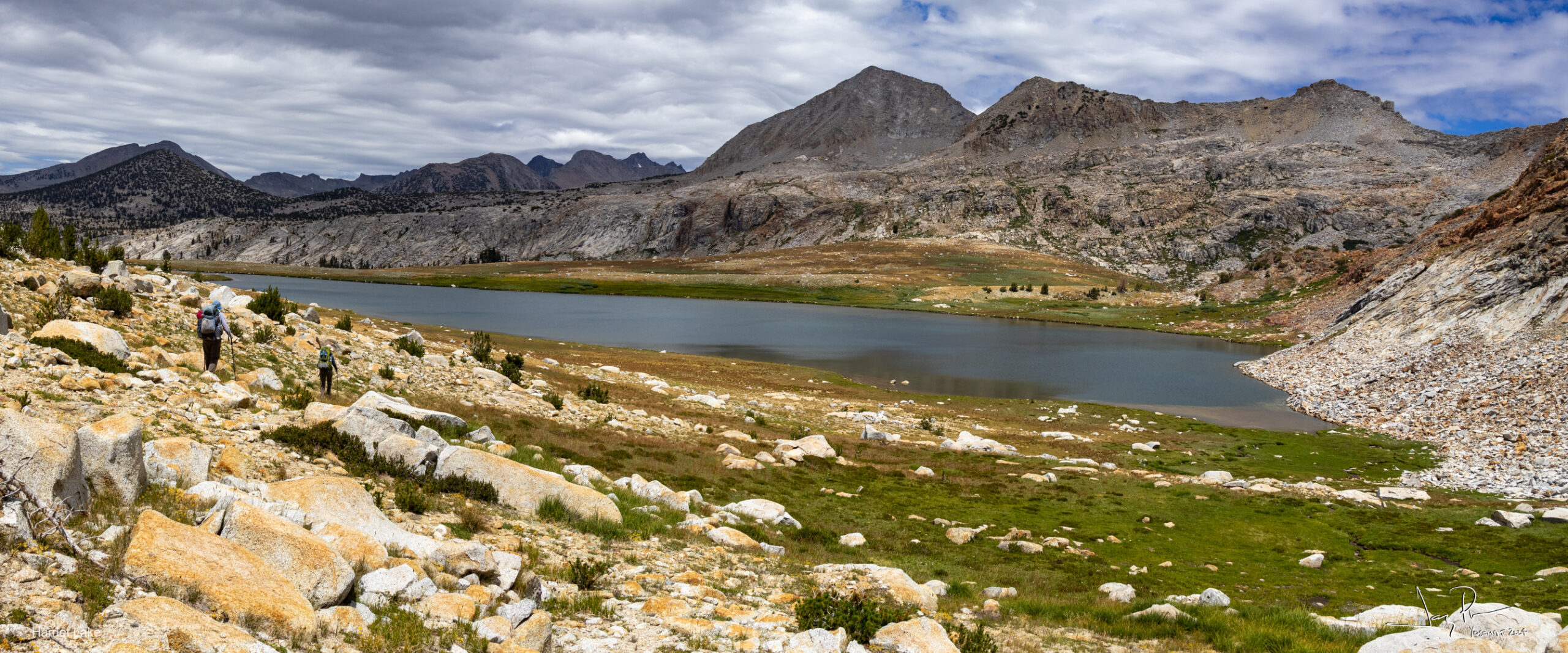
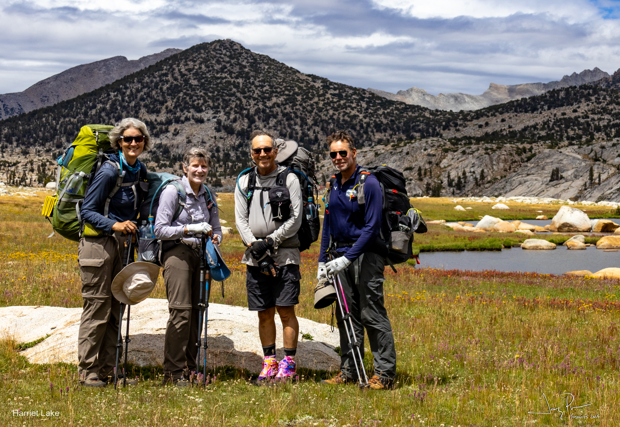
Harriet Lake
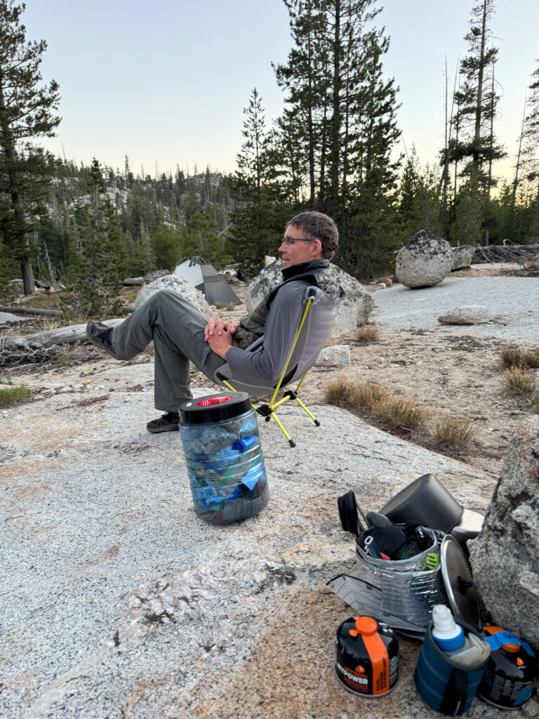
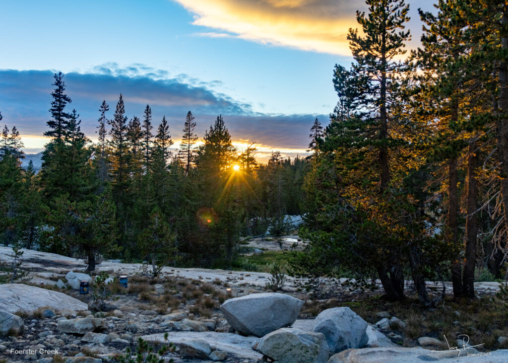
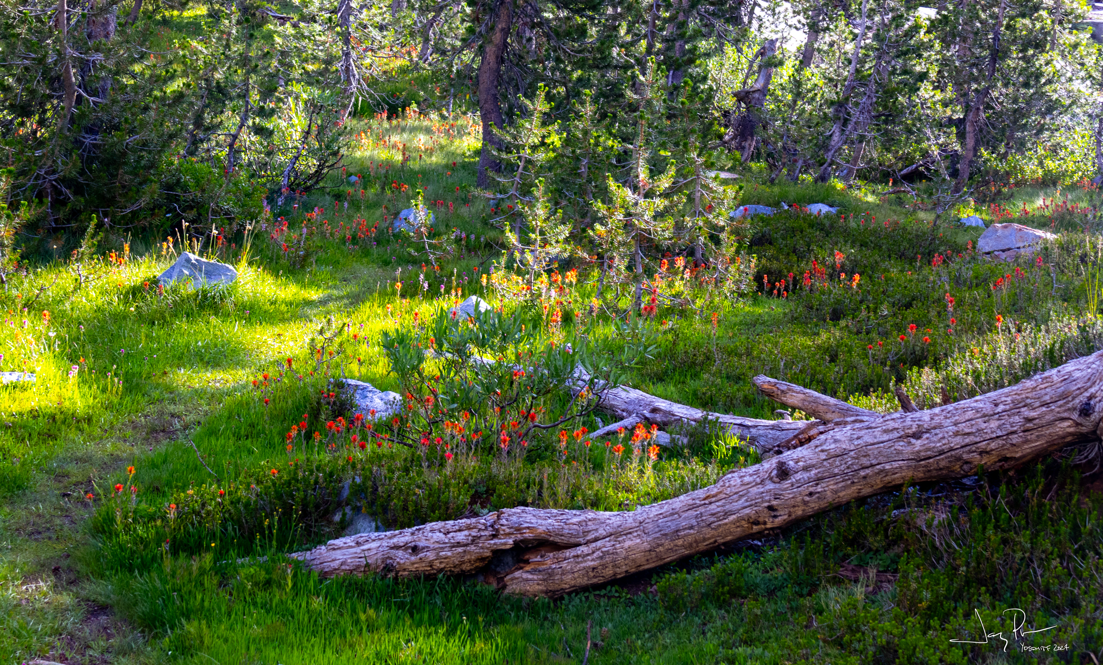
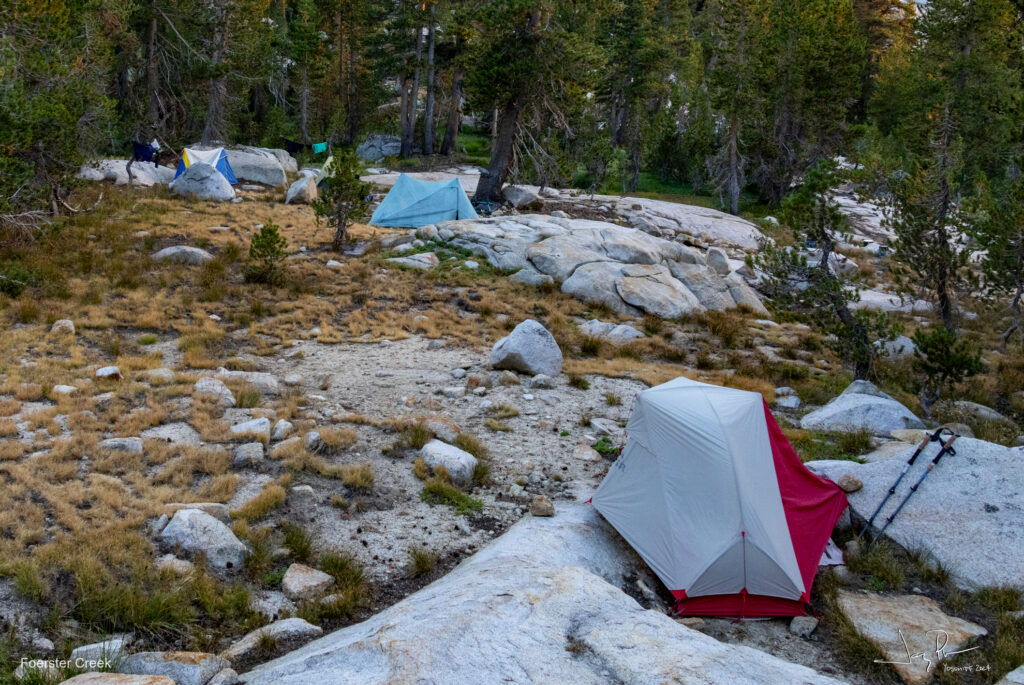
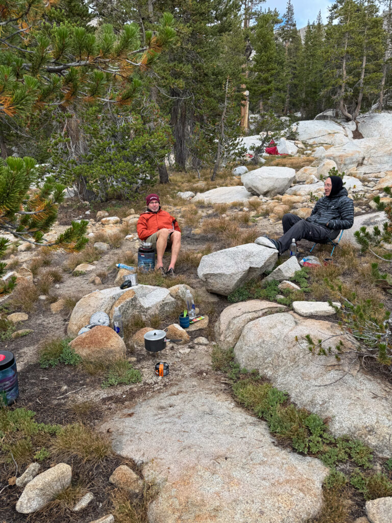
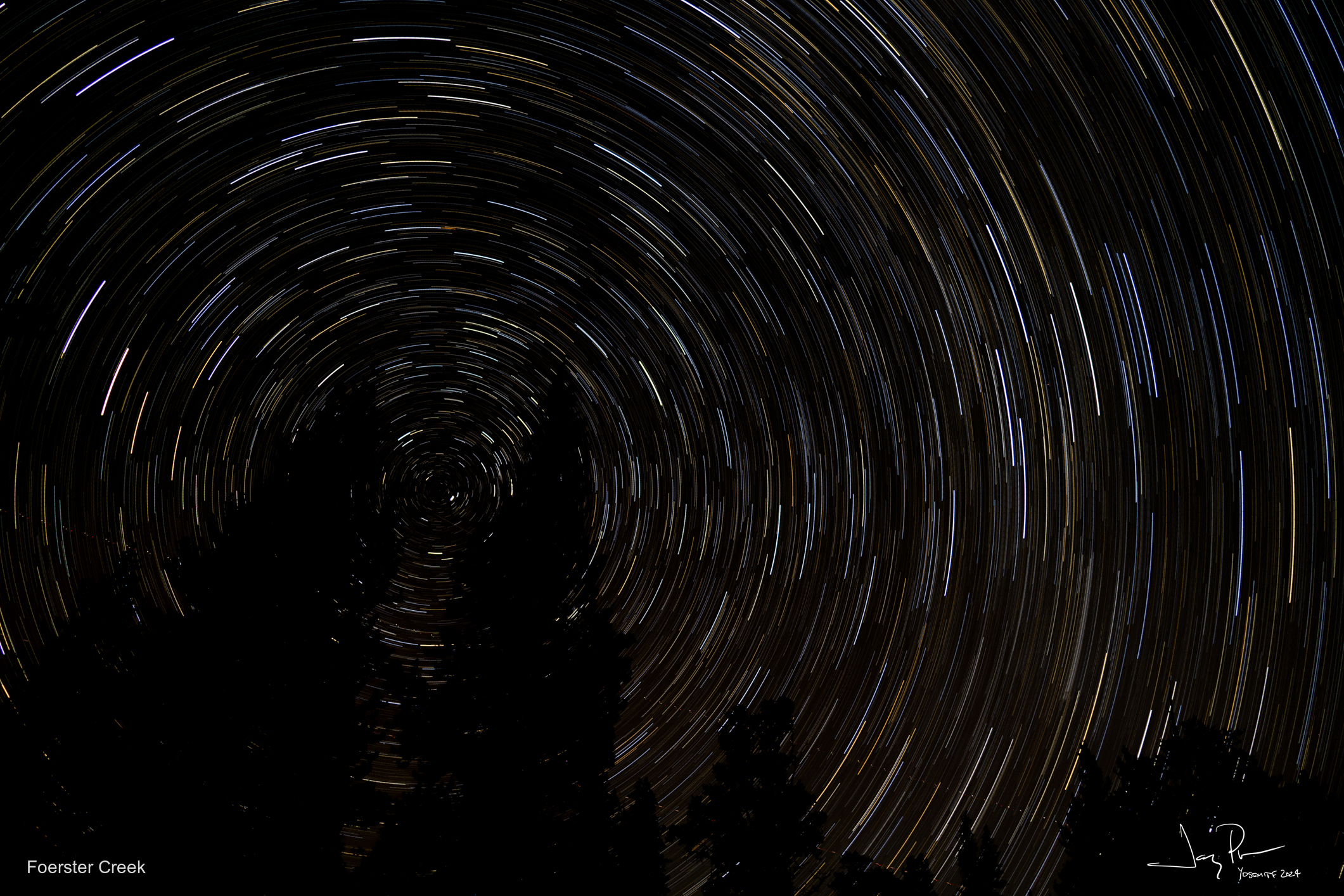
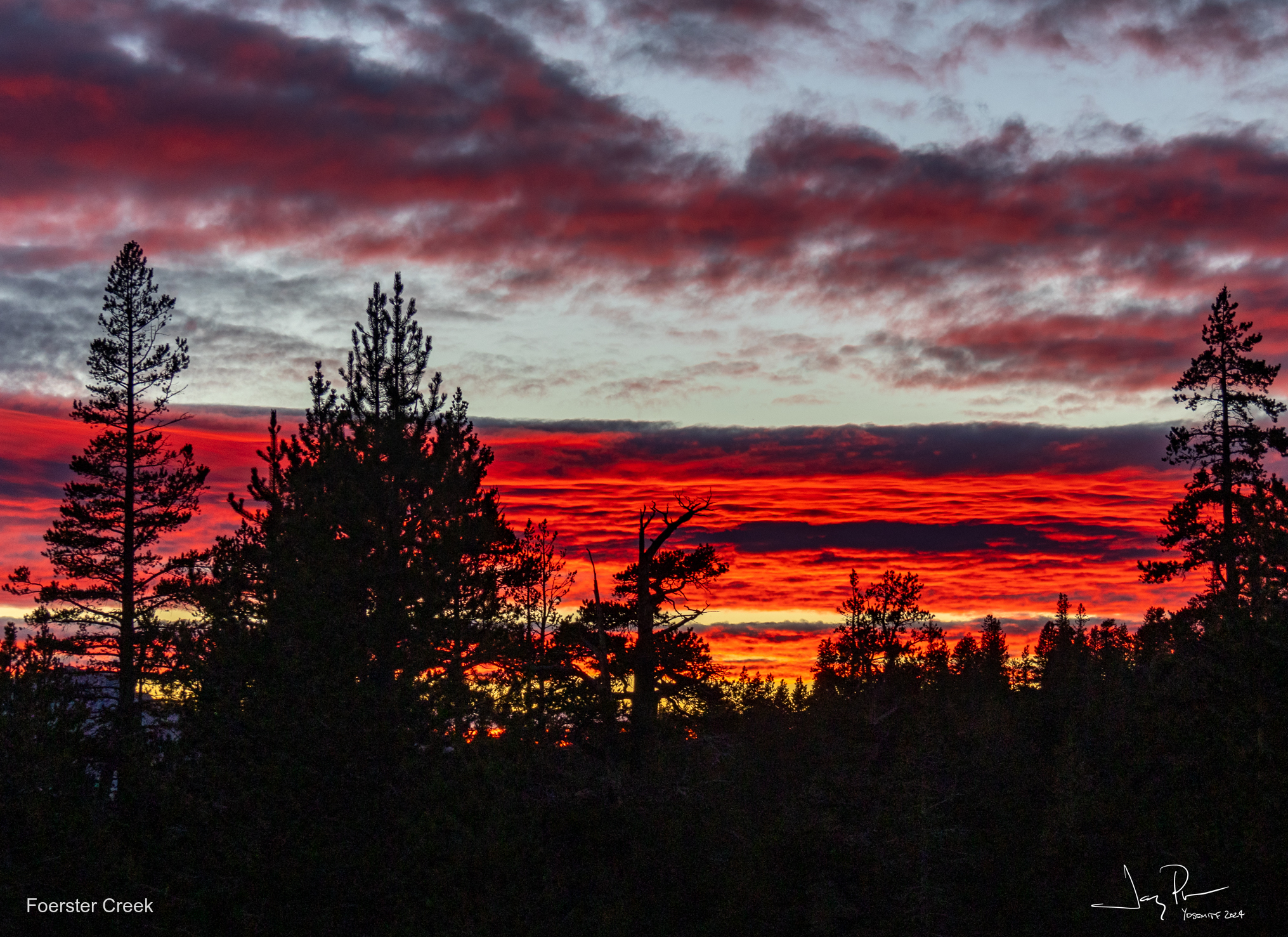
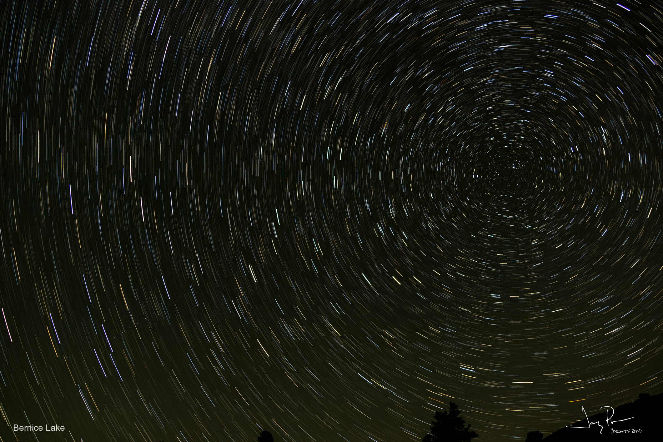
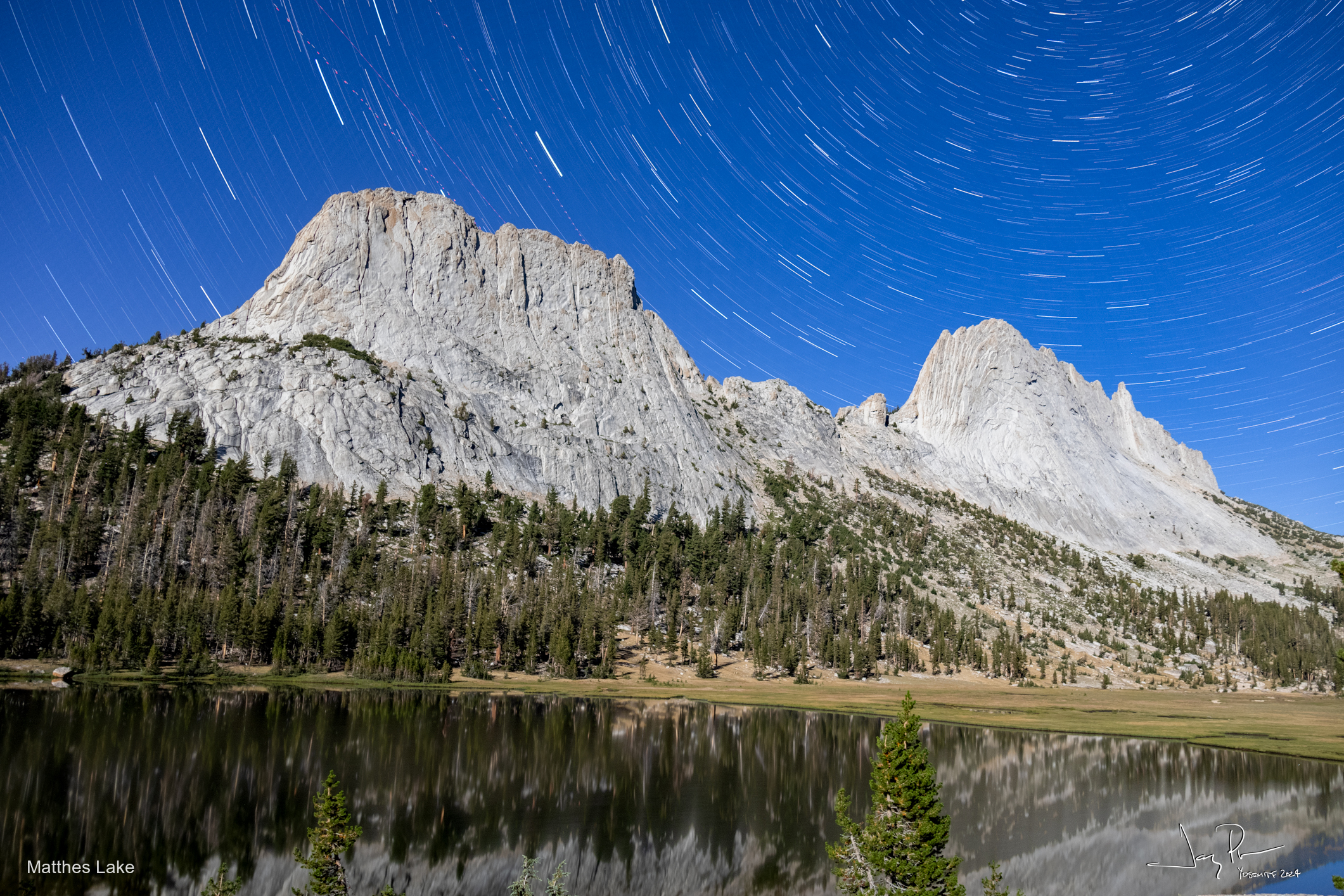
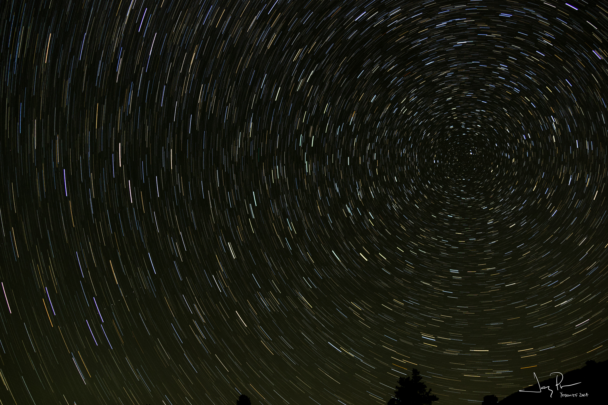
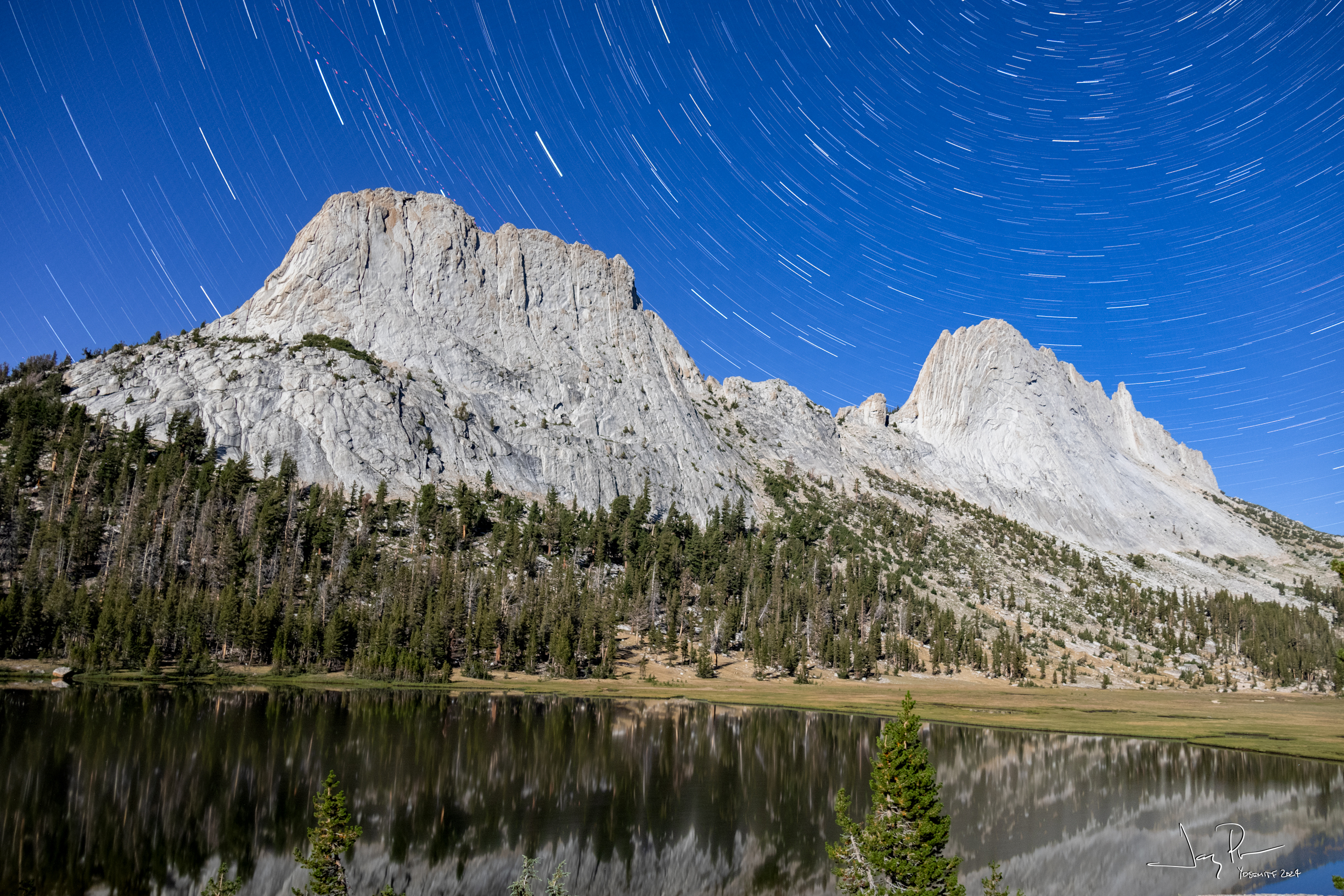
We camped in a forested area near Foerster Creek. It gave us a time to clean up a bit and chill out. I finally got a change to try out the new camera doing star tracks.
I love unsettled weather for pictures!! Quick note: the weather was perfect for our full week out! One night it went below freezing, but daytime temps couldn’t be better!
Day 5 – we officially stopped trying to do the YHR! We decided that the challenge of the next section would not be fun. Long days, two passes that are challenging and we could find other fun things to do!! So we did.
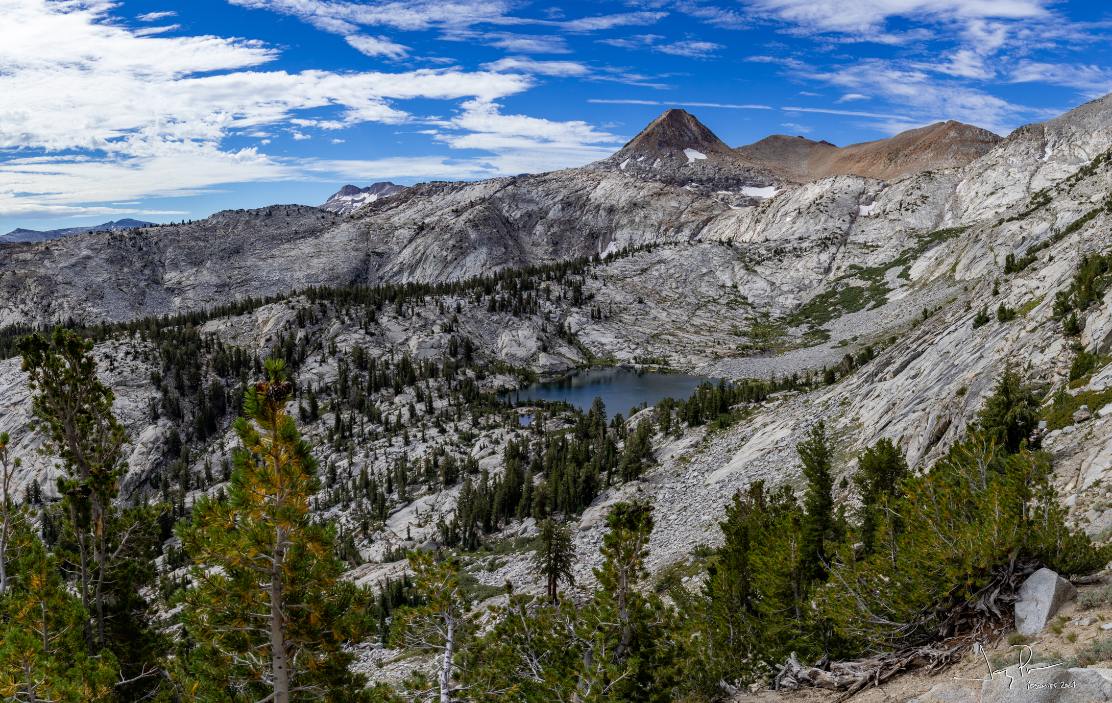
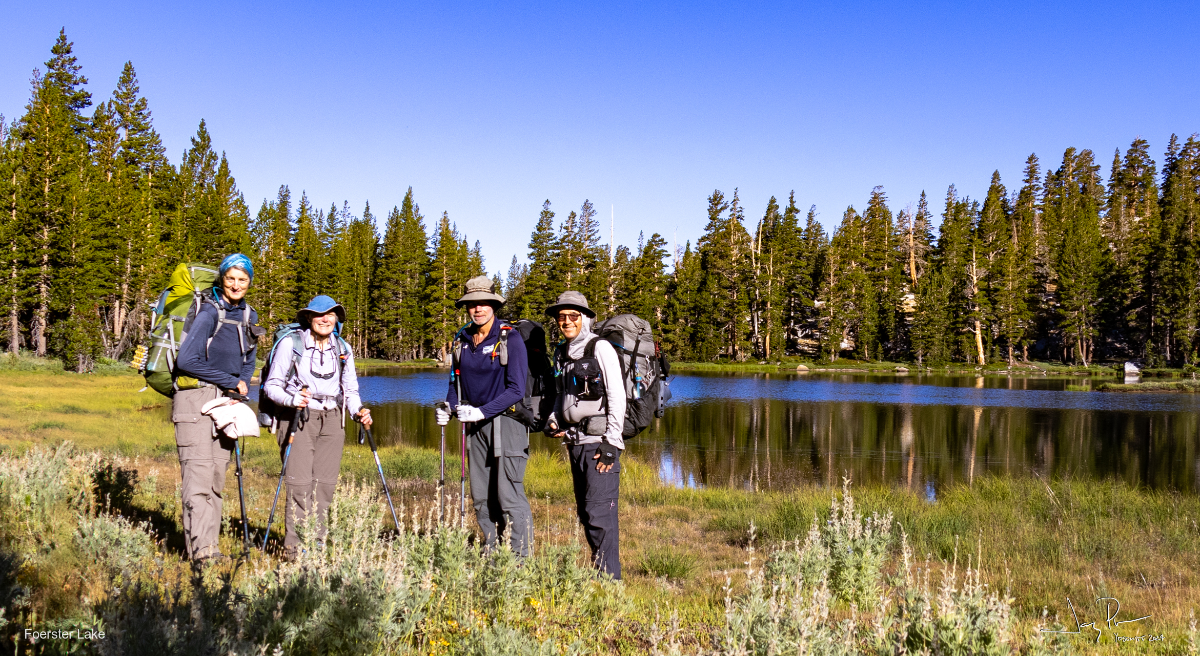
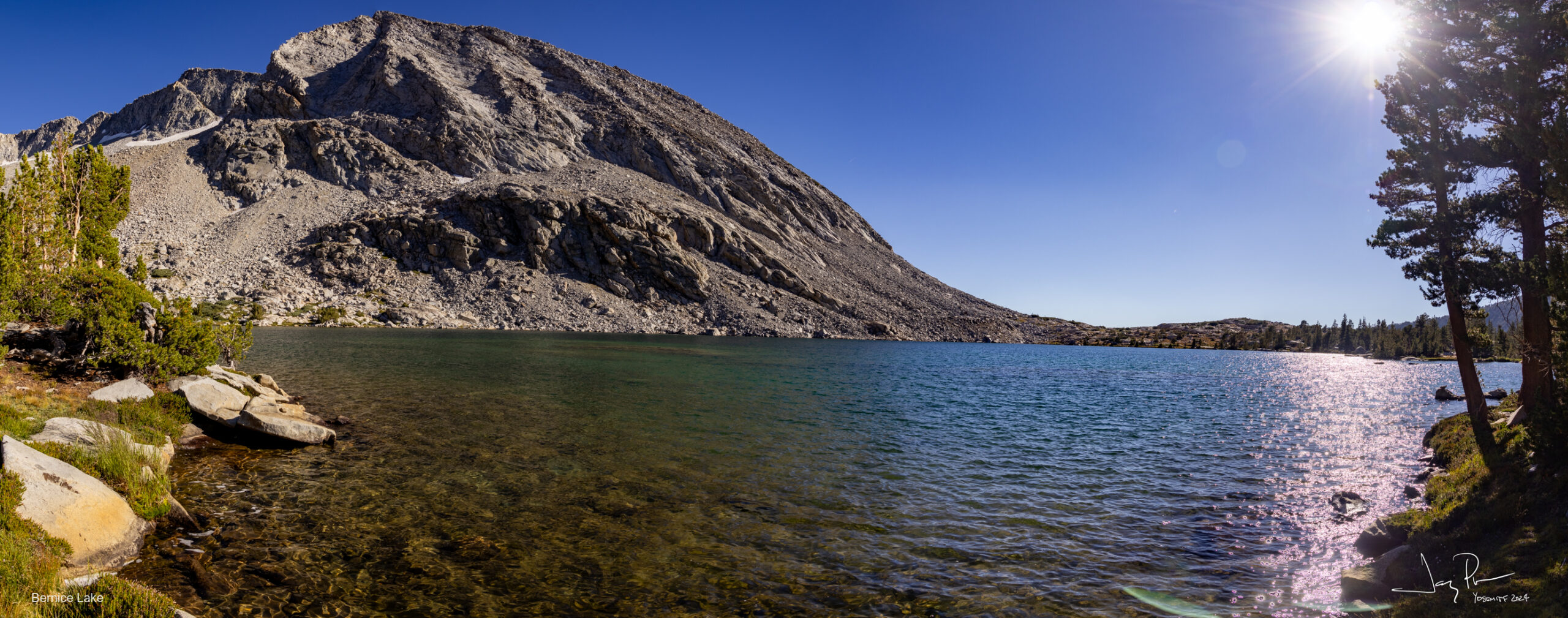
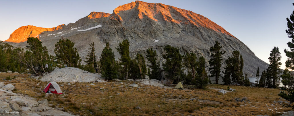
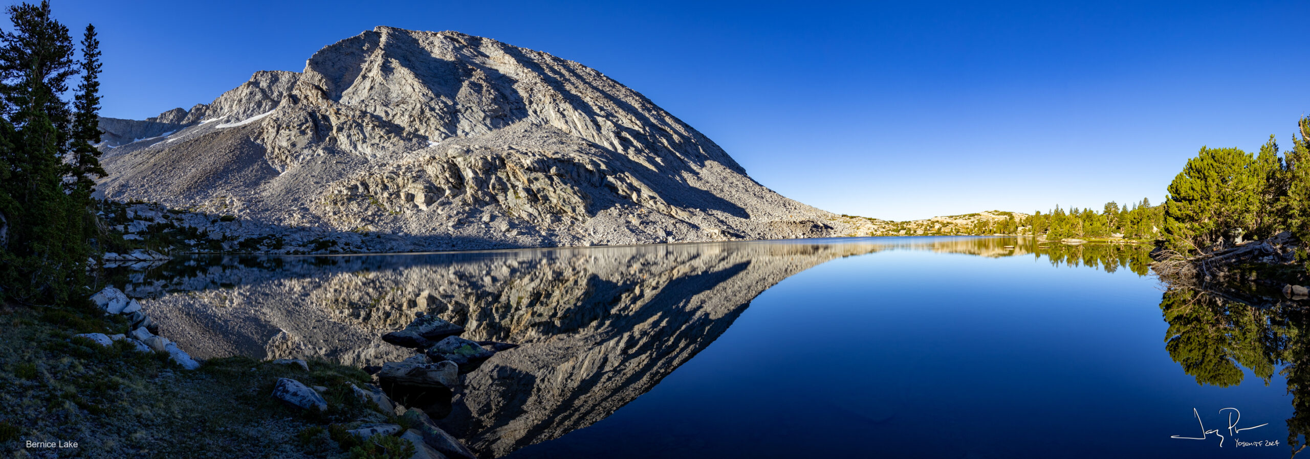
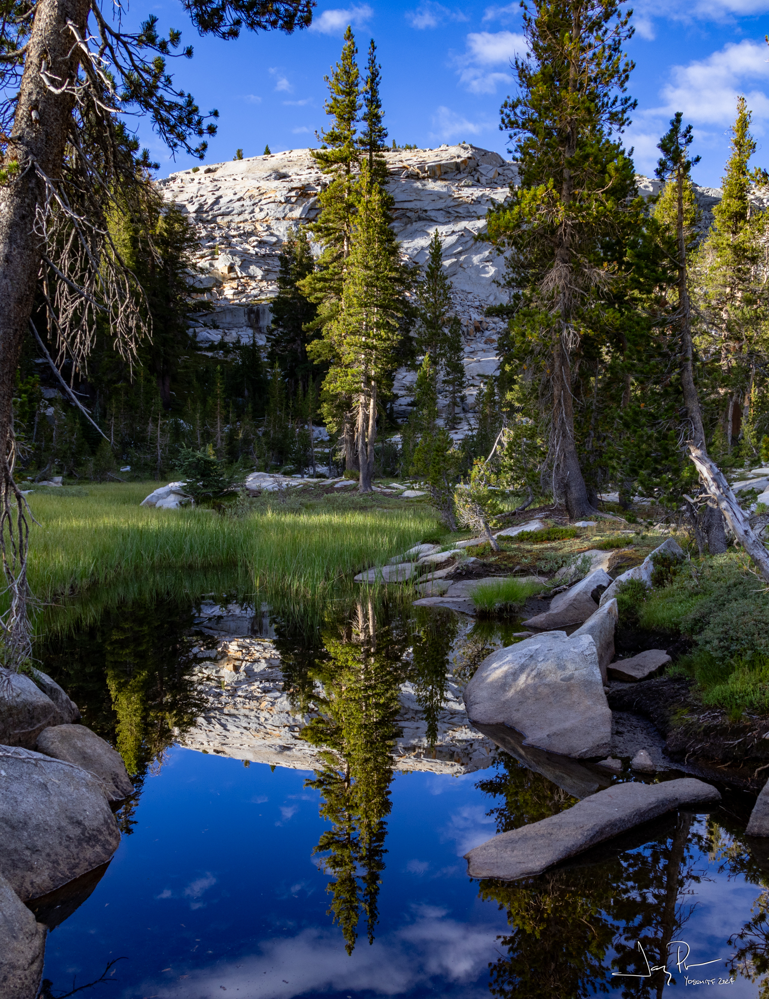
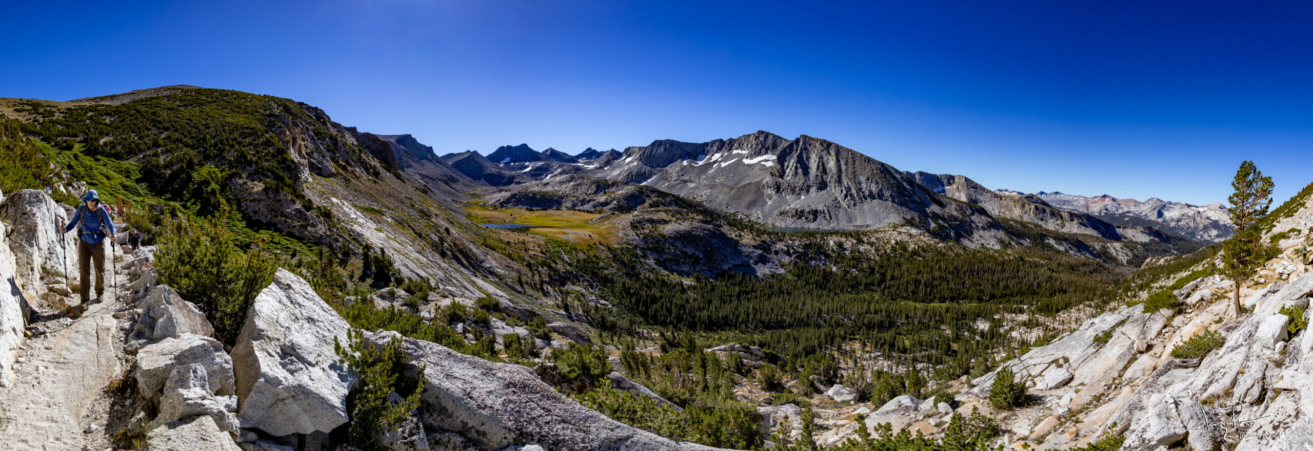
We left Foerster lake region, headed down to the main trail, and off to Bernice Lake. A delightful place! If we were to come back here, we would stay two days here and go exploring this area – including Gallison Lake and the set of little lakes over the hill. Very nice.
Our campsite
Our host
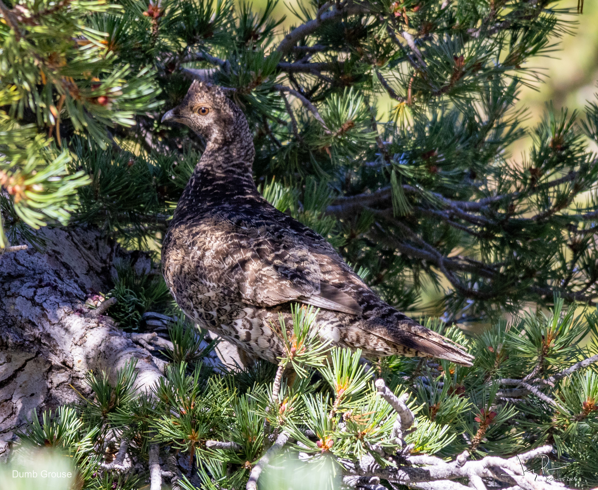
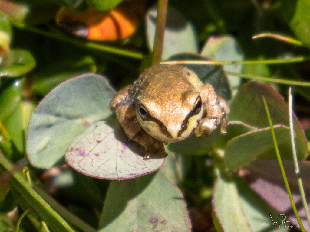
One of two stupid Grouse birds. At least we understand they taste good.
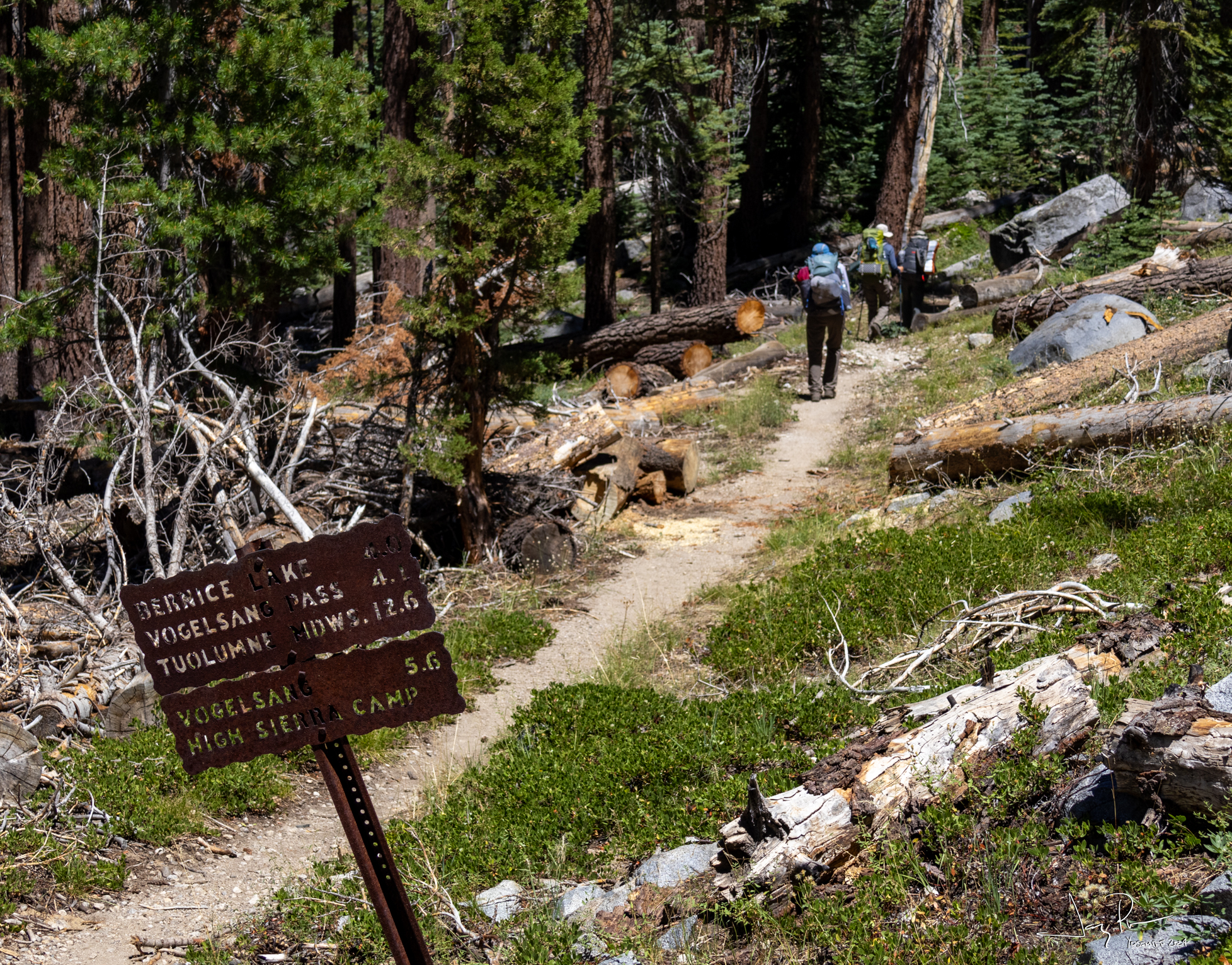
Day 6 – Departure from Bernice Lake – Headed to see LOTS of people! To the heart of Yosemite High Country
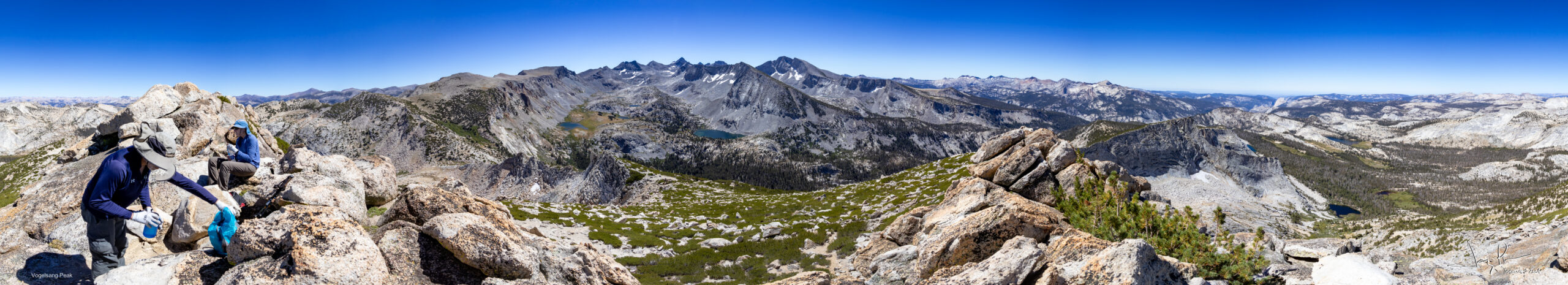
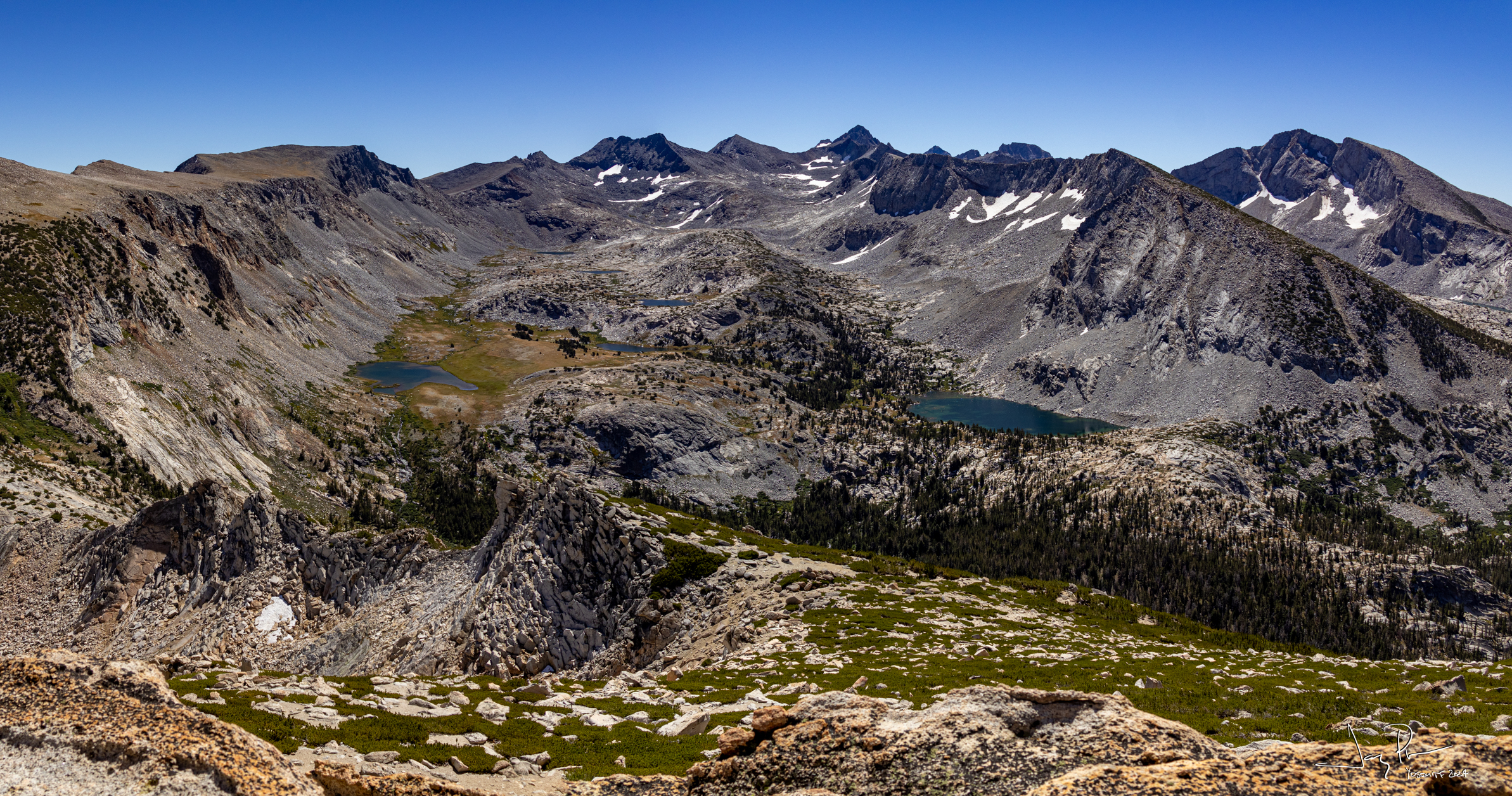
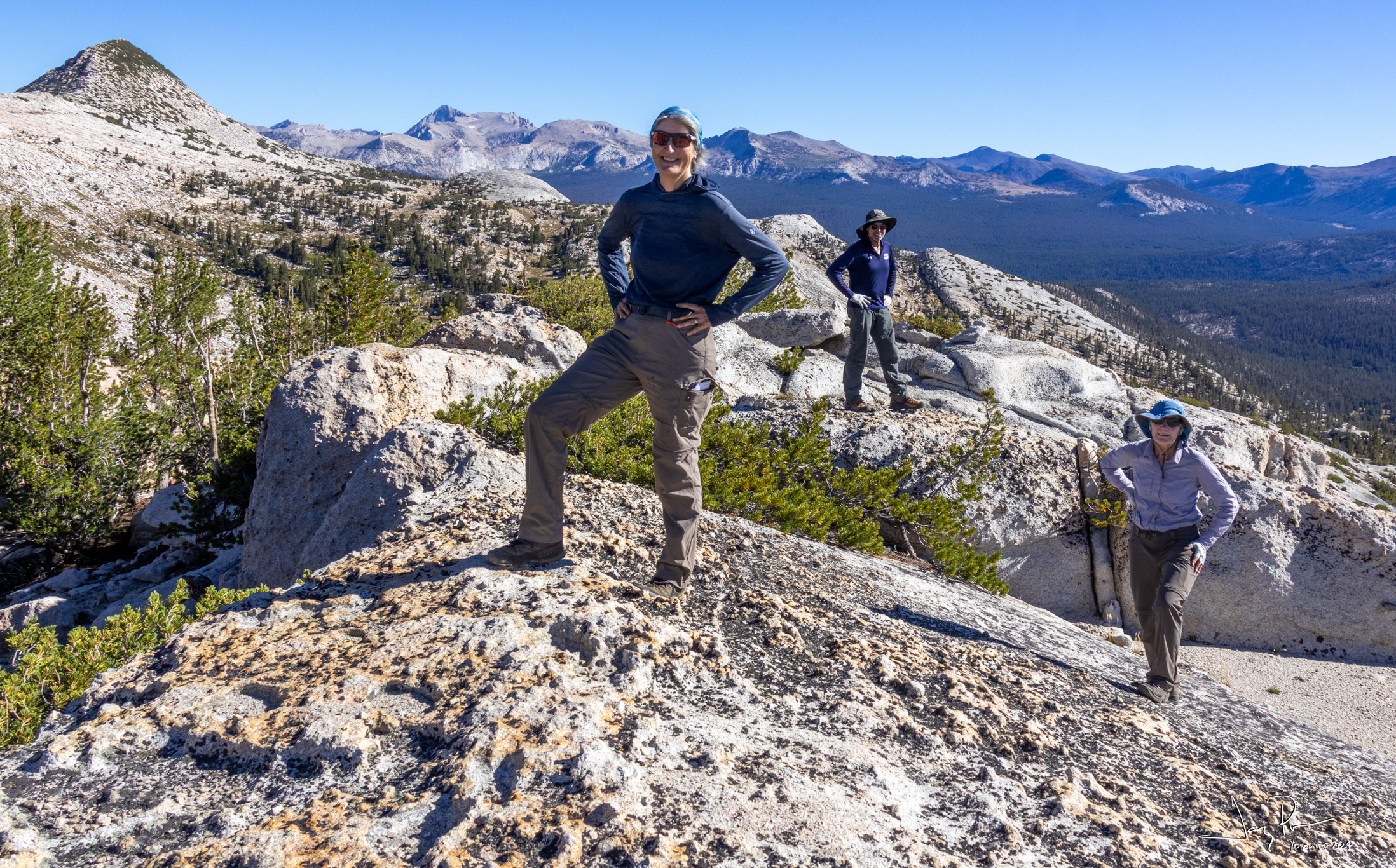
Three of us hiked to the top of Vogelsang Peak. Mostly a class 2 hike, but the final scramble to the top was a bit more.
Looking back at Bernice Lake and the region you can see how a day hike in the area would be delightful!
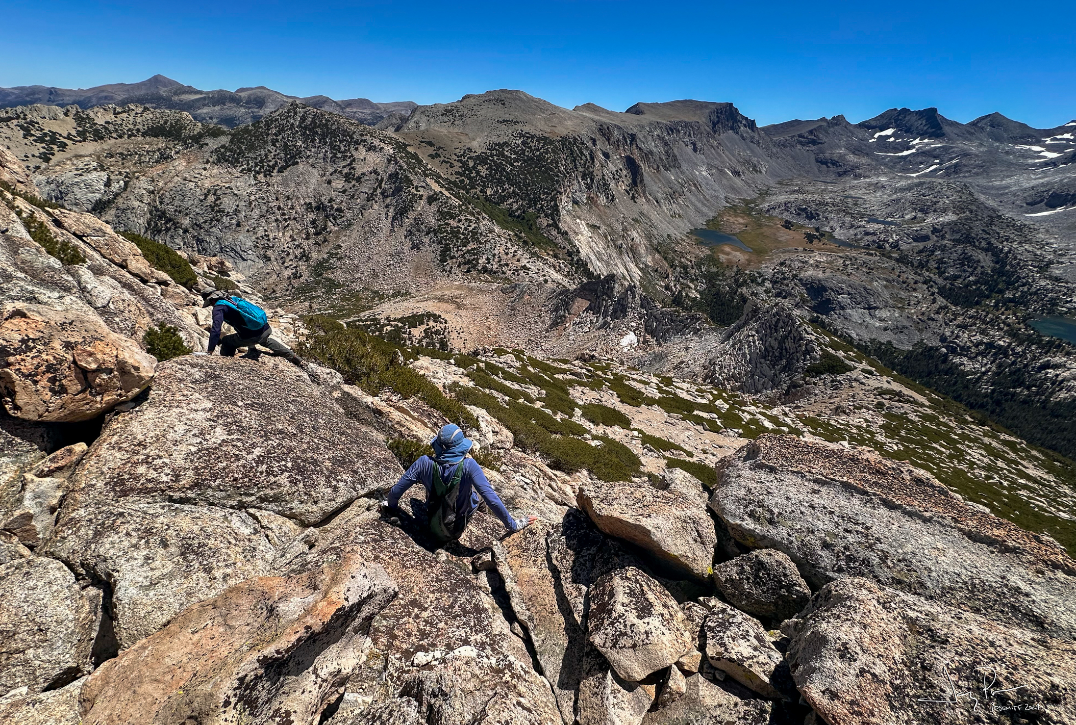
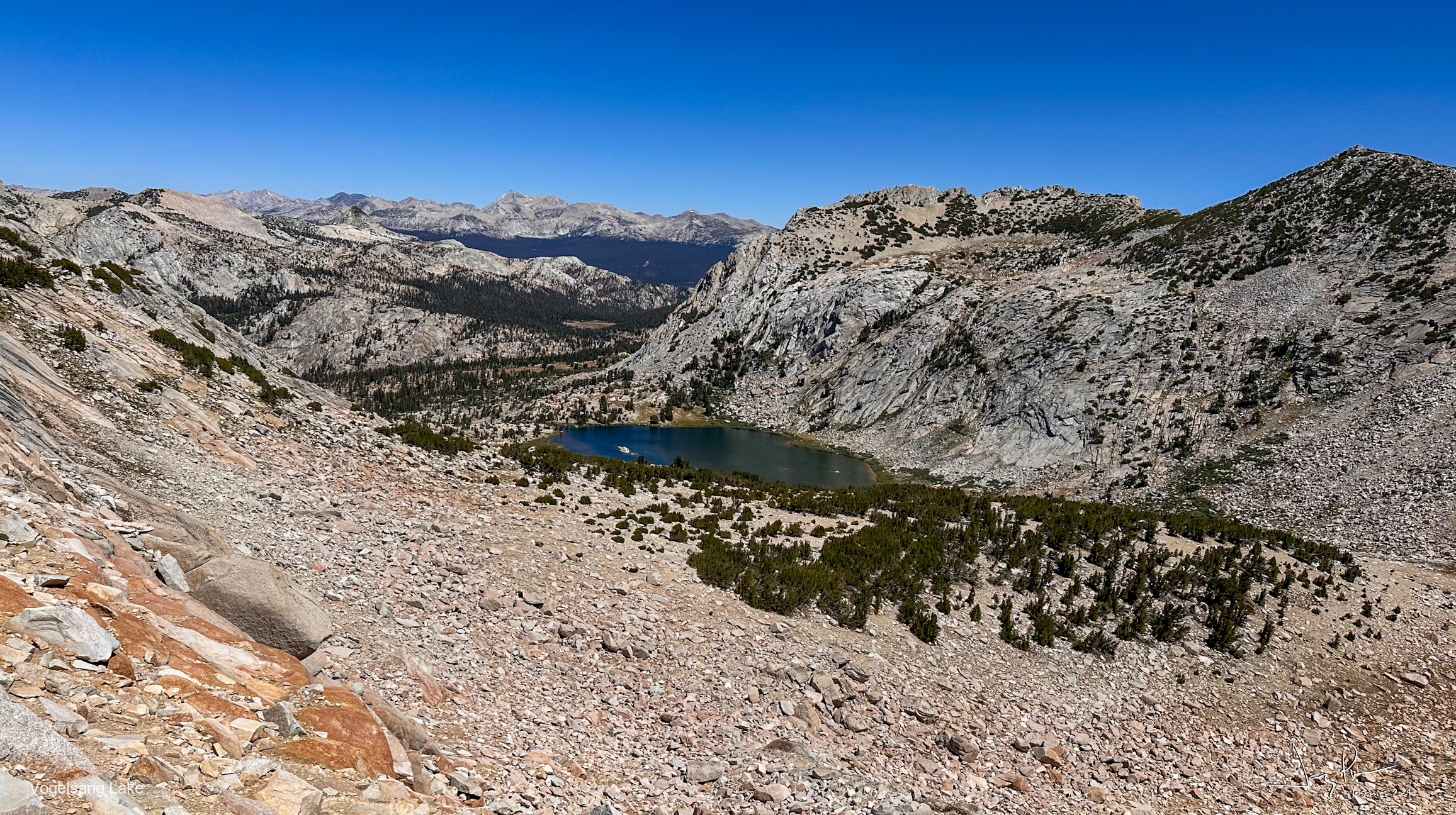
Hiking down from Vogelsang Peak to meet up with Alexandra. That’s Vogelsang lake and beyond is Vogelsang camp (currently not open)
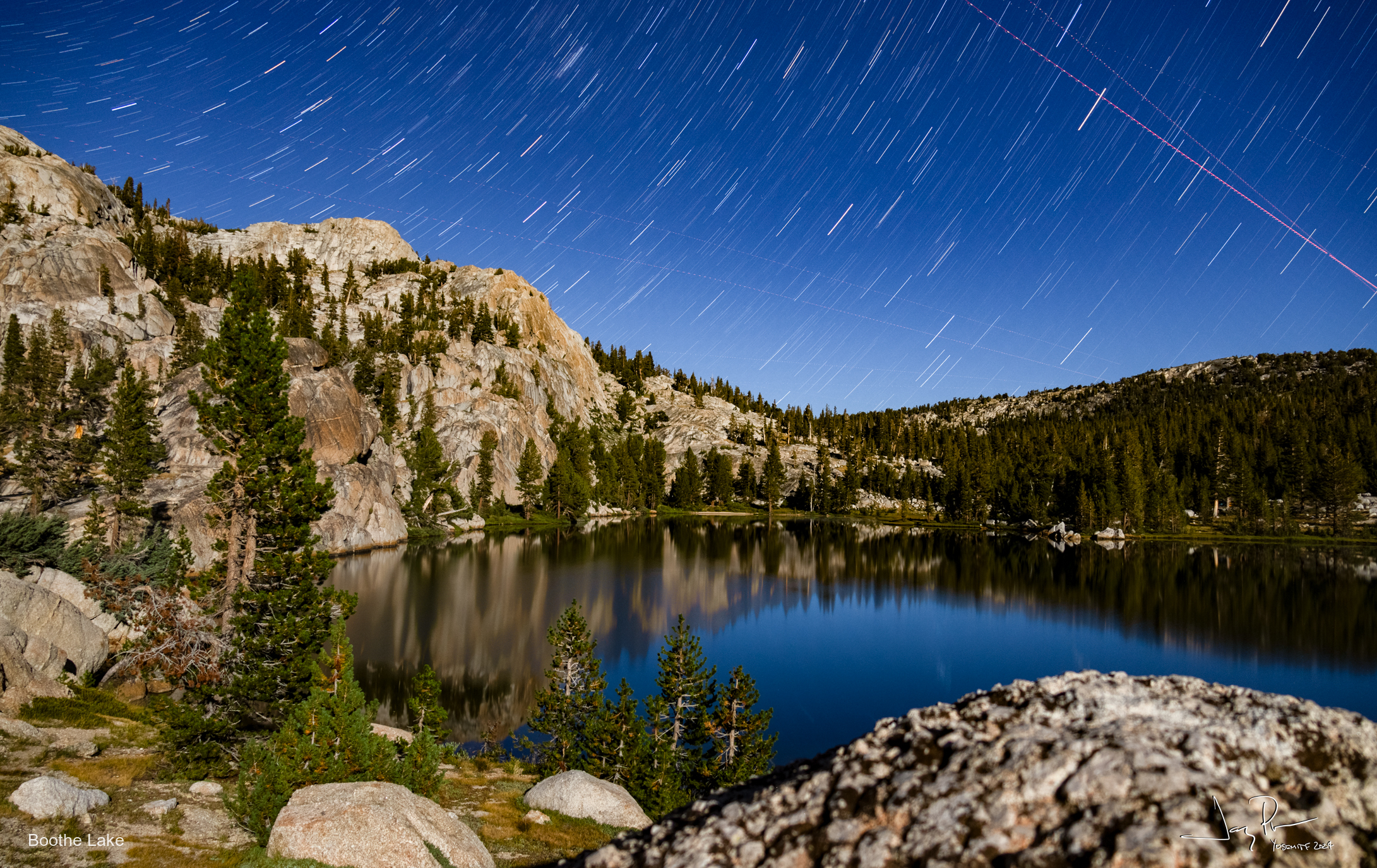
We went to Boothe Lake. I actually went “swimming” (Well my version of total immersion – more a religious thing than exercise) The moon is lighting up the hills in the star streak picture.
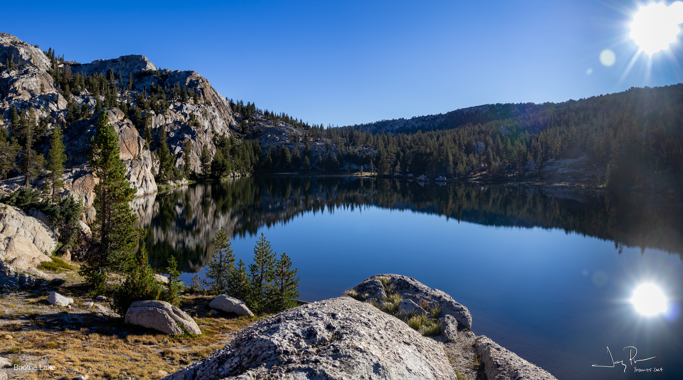
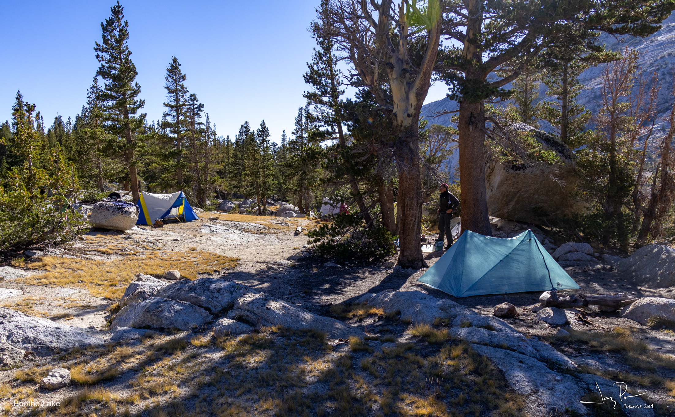
Boothe Lake campsite (really nice place!!) There were many others camping on the lake.
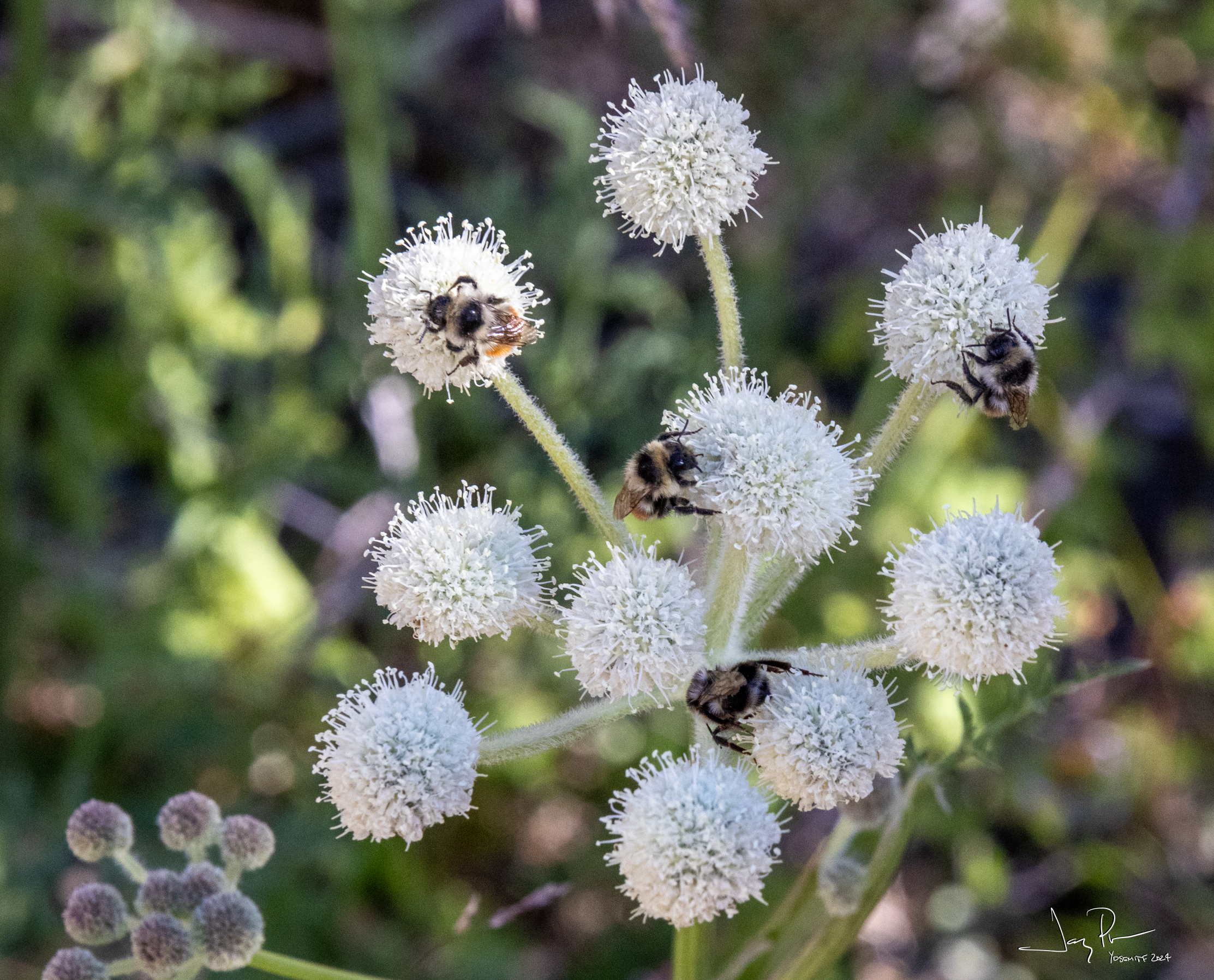
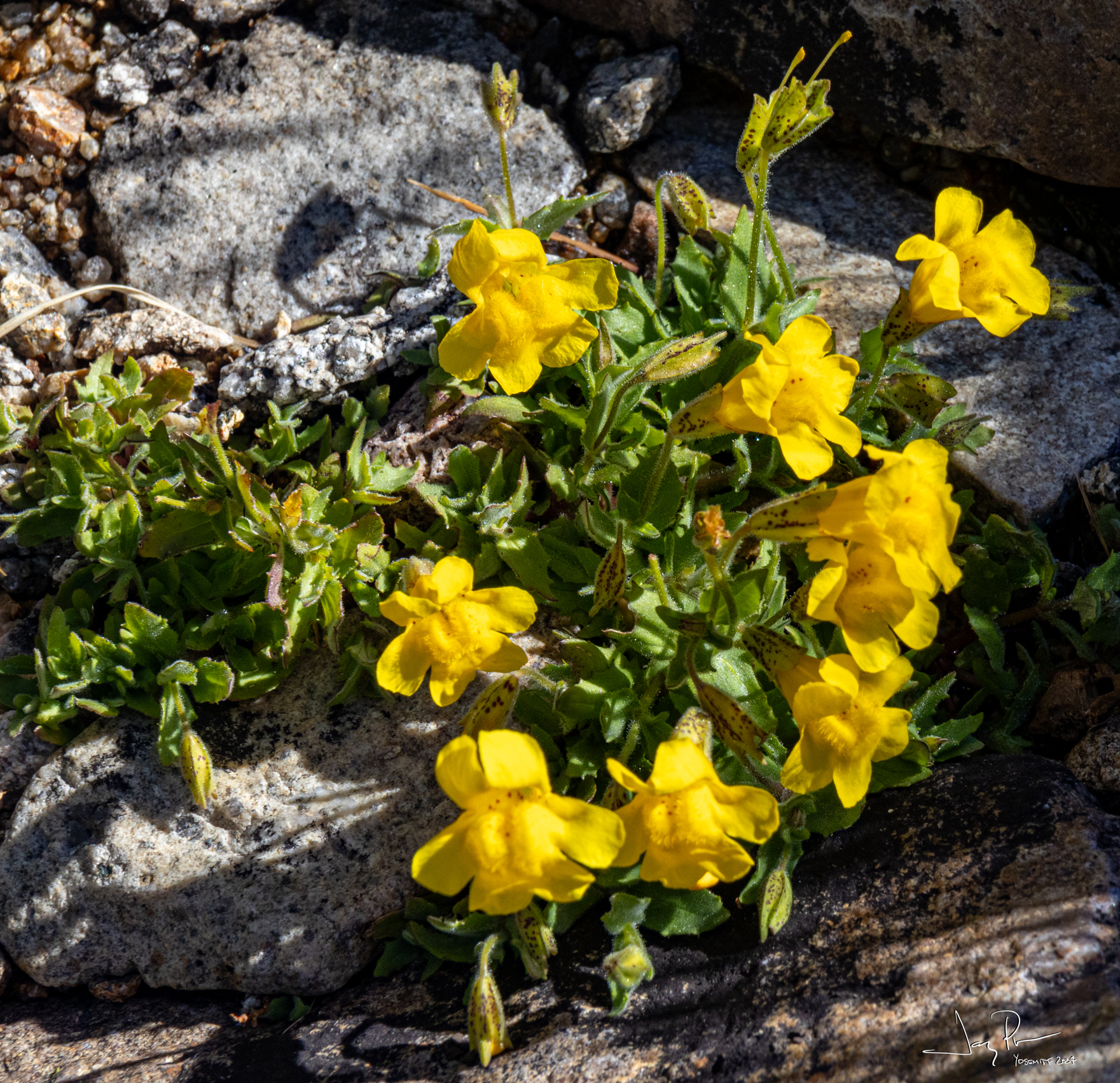
I think the bees are sleeping. Very slow moving. A number of these “ranger buttons” with bees attached!
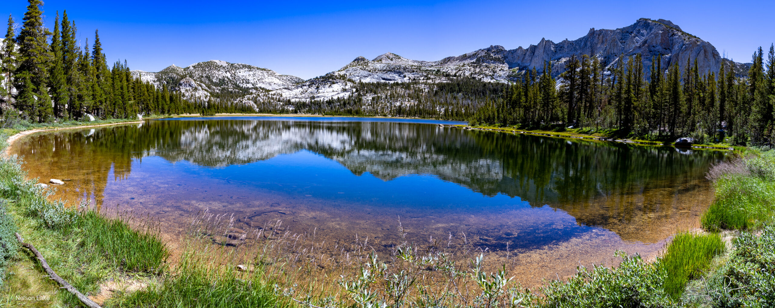
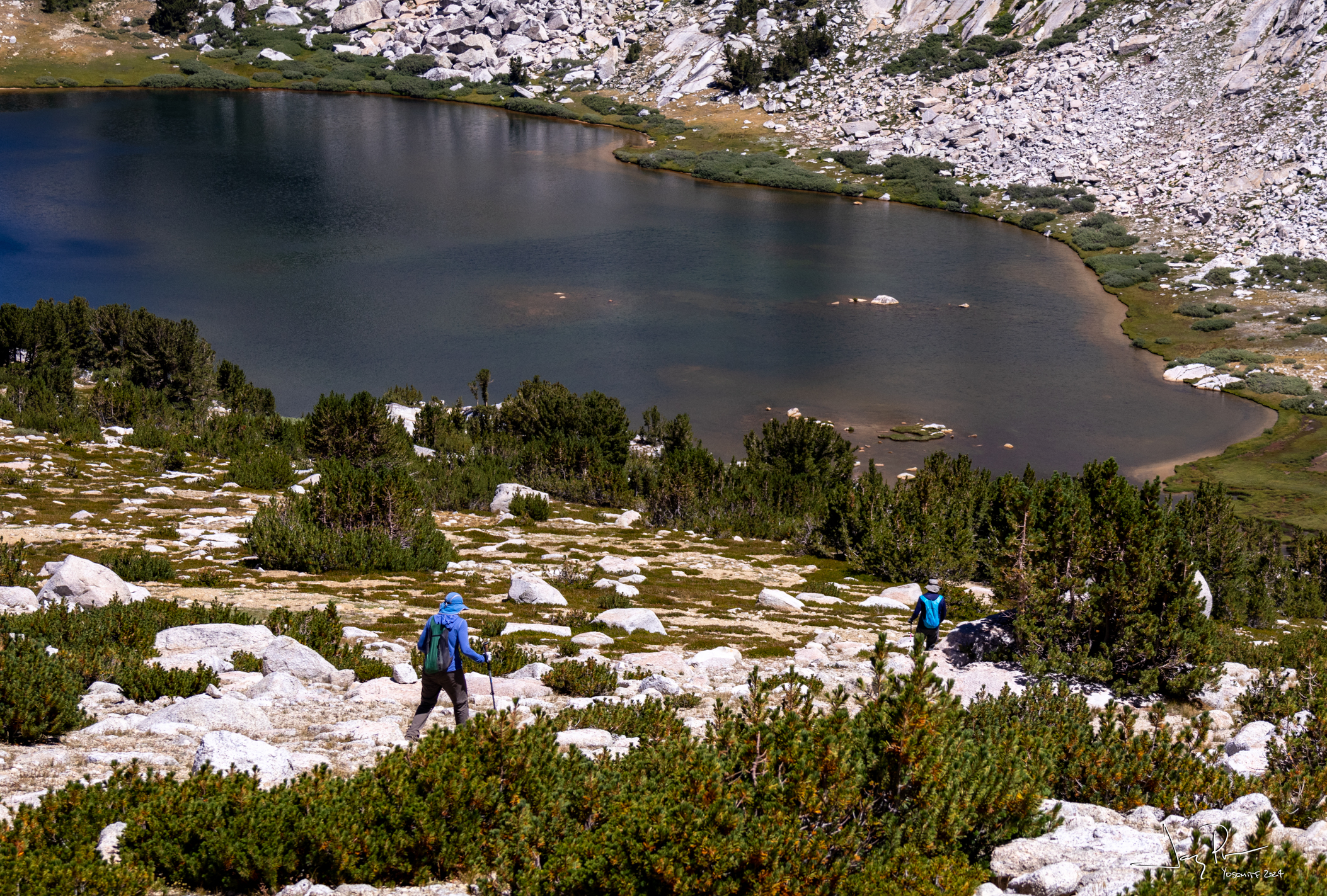
Day 7 – Headed over a few passes (off trail) and past Nelson Lake.
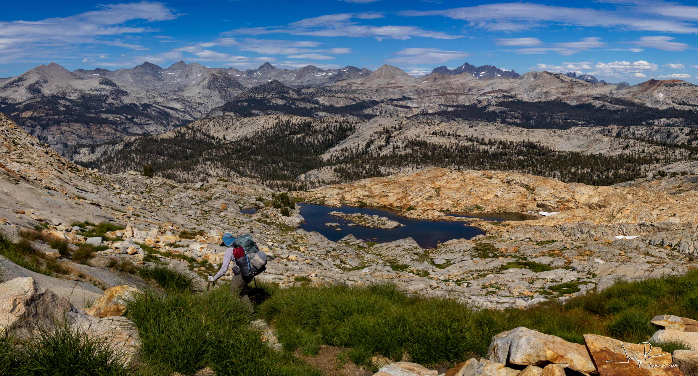
We head up to a pass near Rafferty Peak and go to the top of a little lump. What a great view!
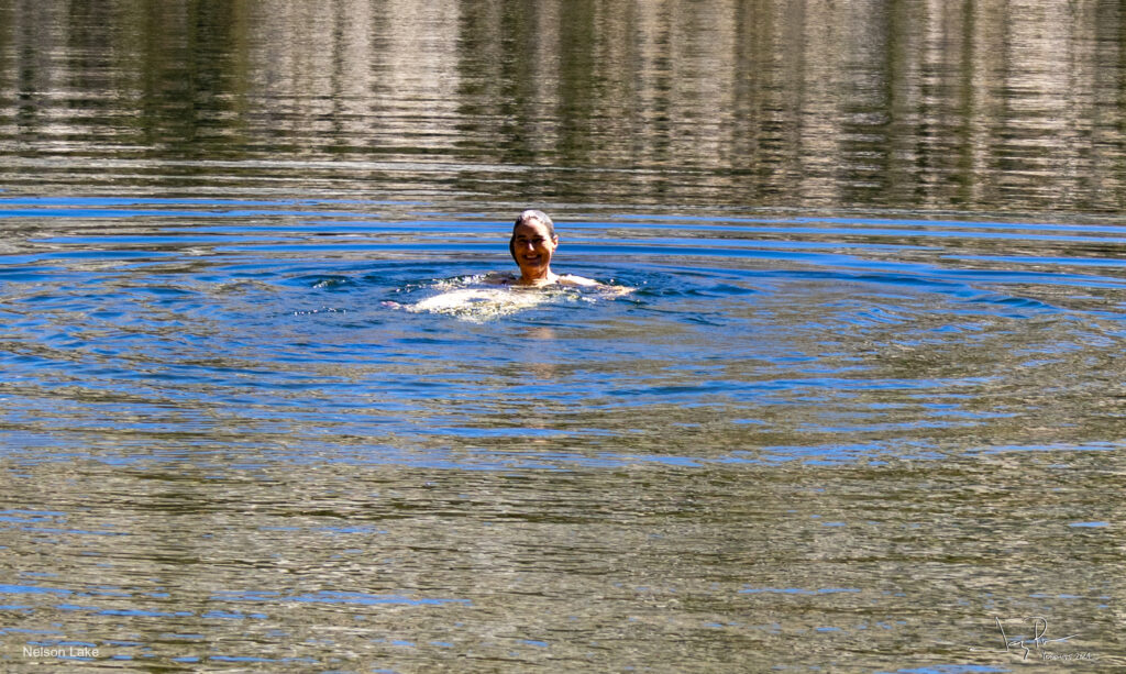
Nelson Lake with bathing beauty
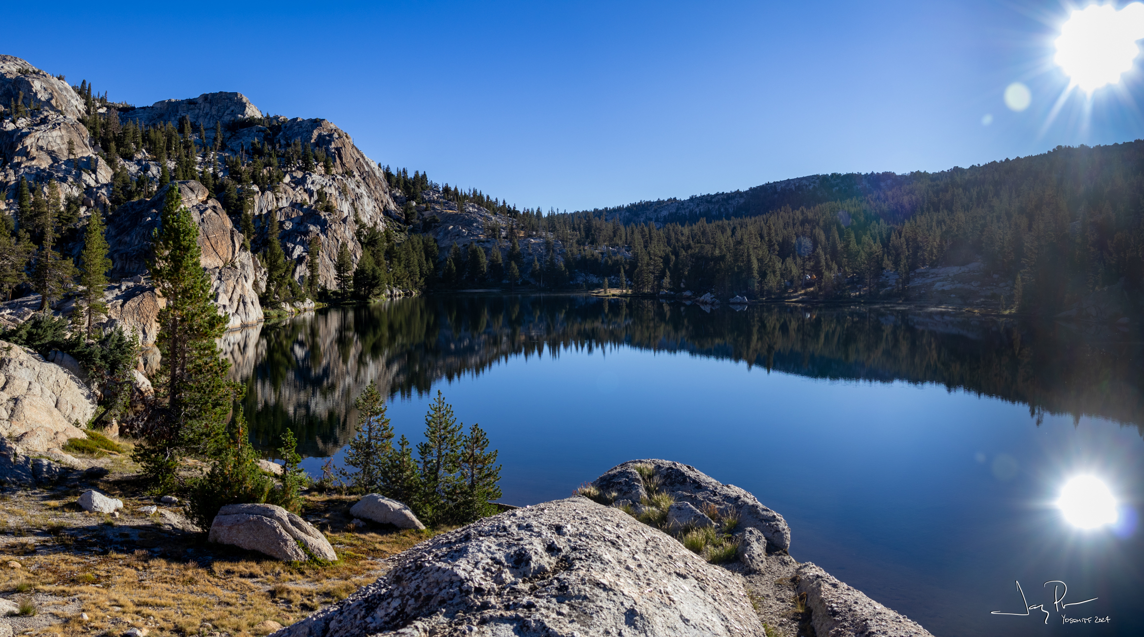
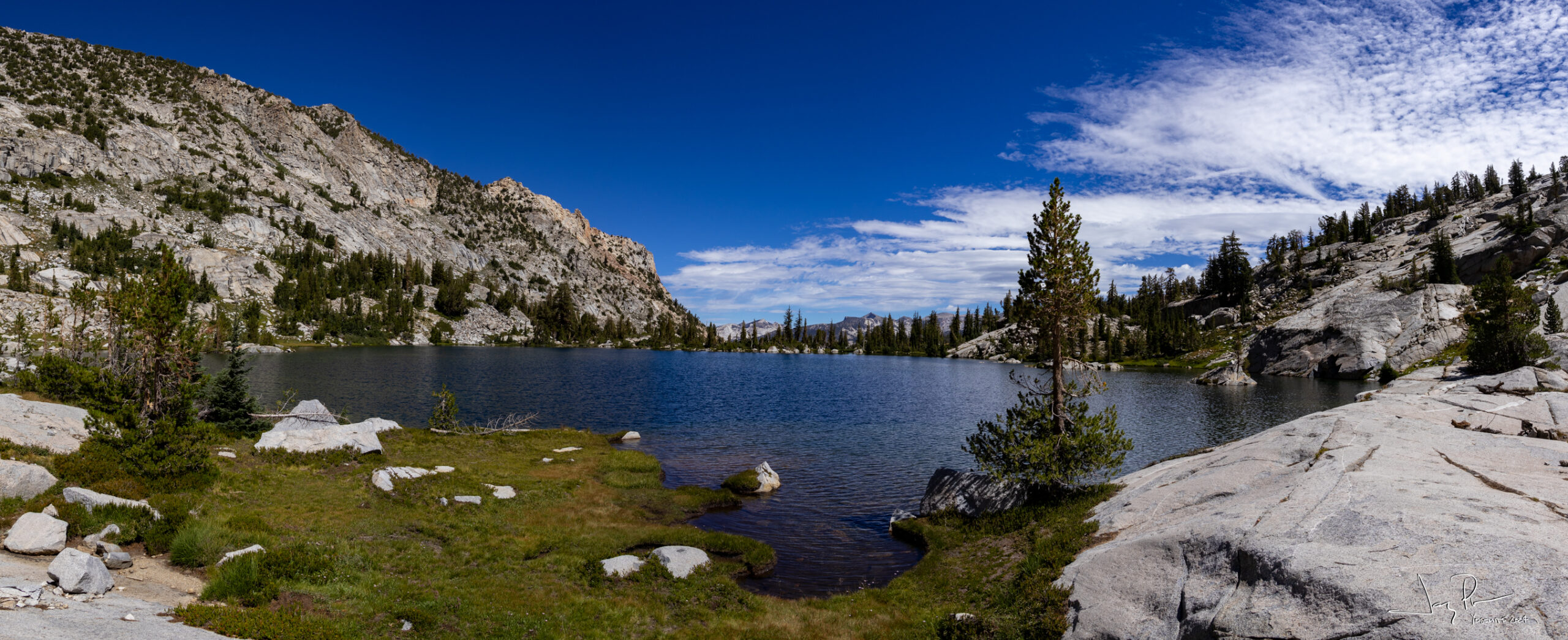
Nelson Lake.
After Nelson Lake we had to cross another pass – a challenging up and down on the way to Matthes Lake
From the pass
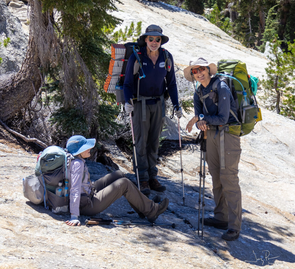
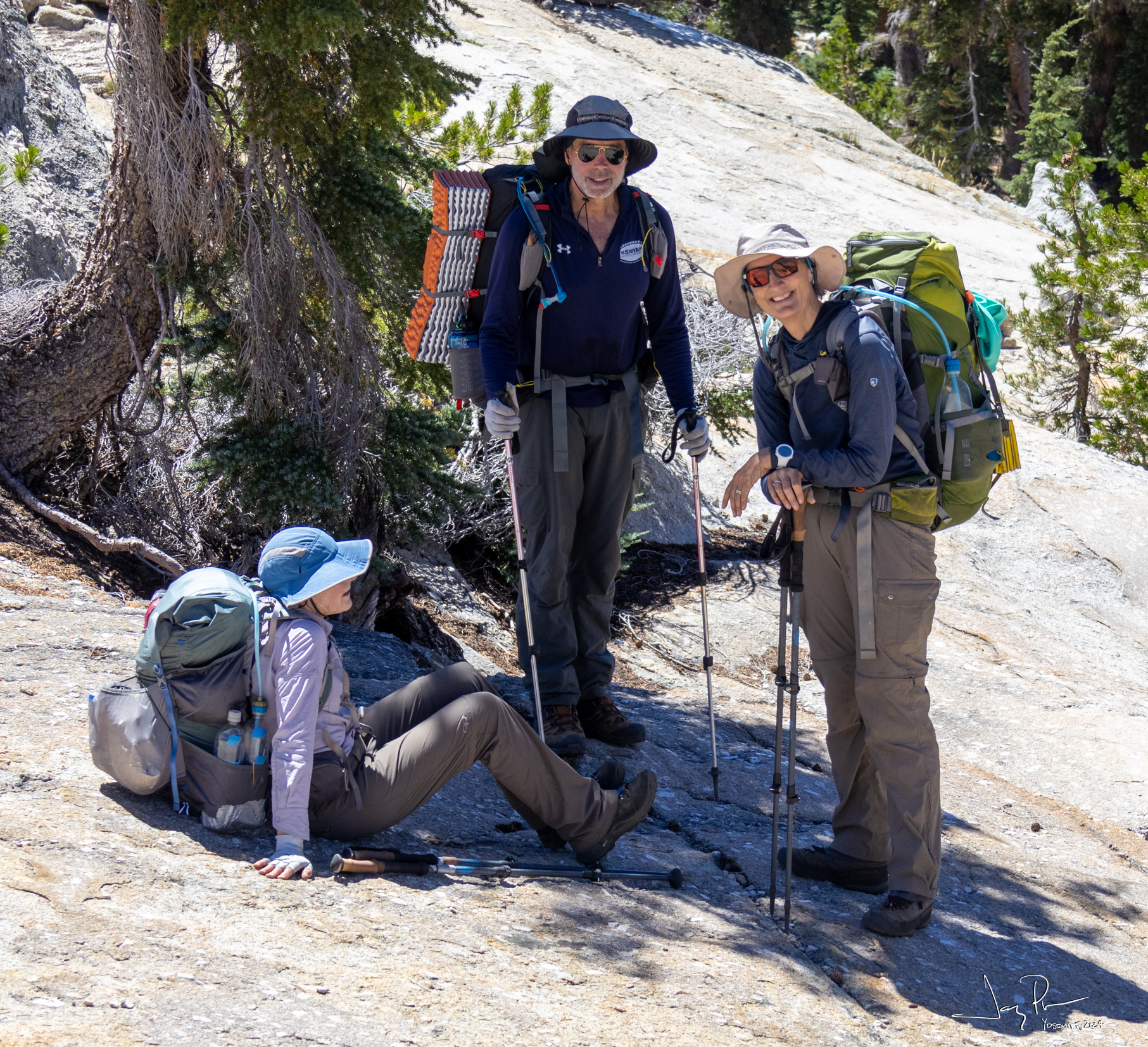
Resting AFTER the pass
Camp Host
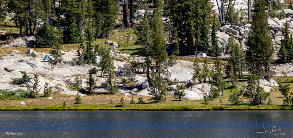
Campsite on Matthes Lake
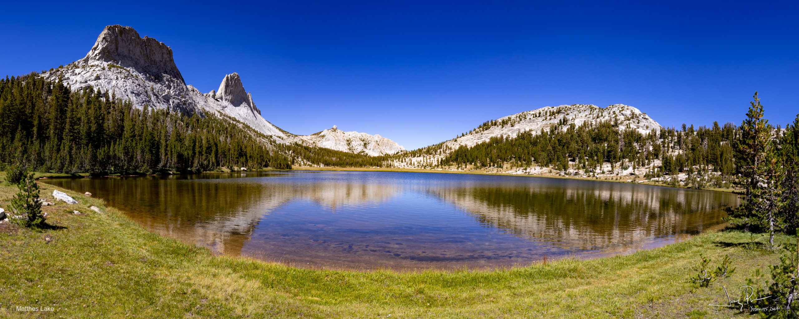
Matthes Lake
More moonlight hills with stars (and those pesky airplanes!)
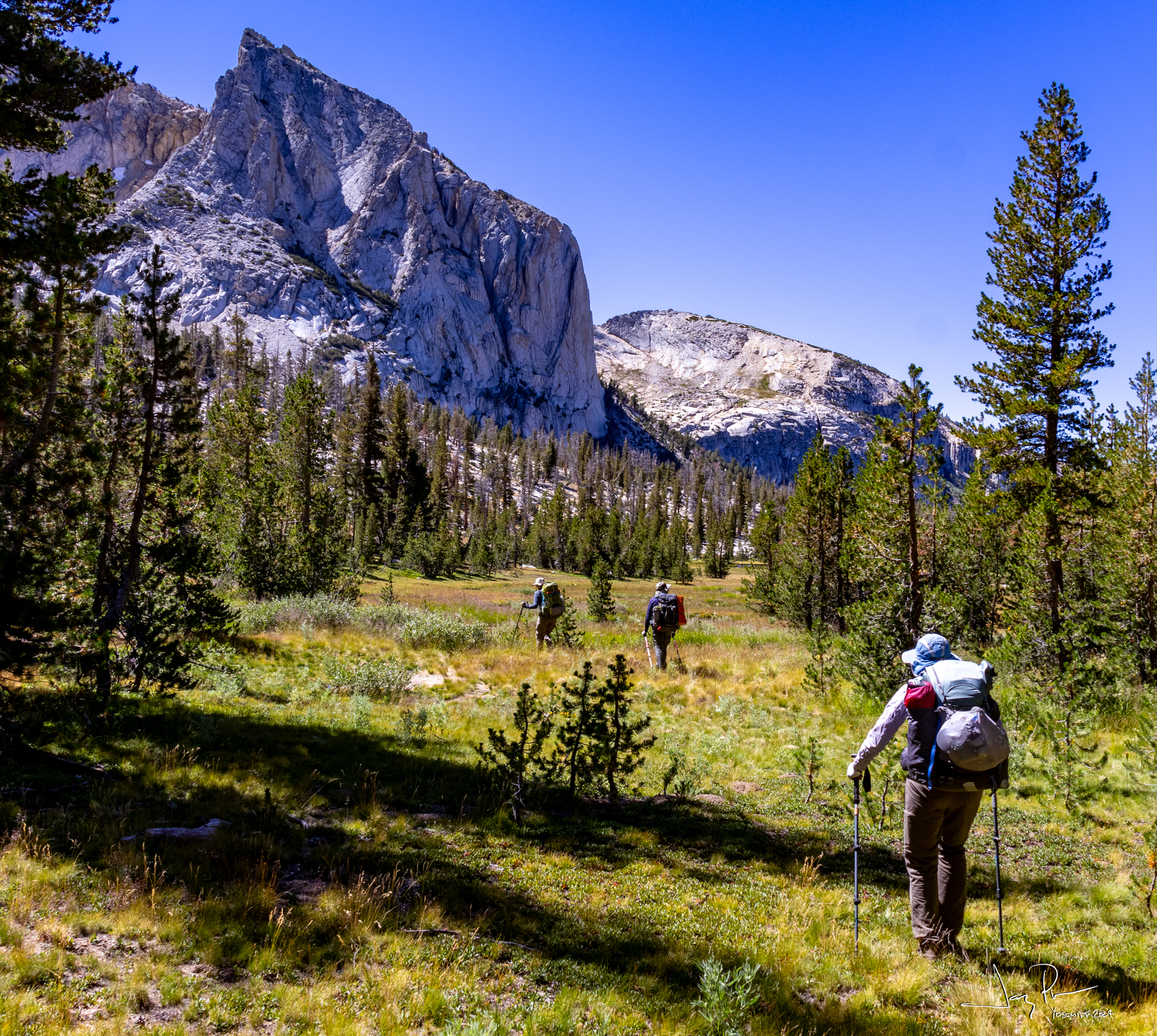
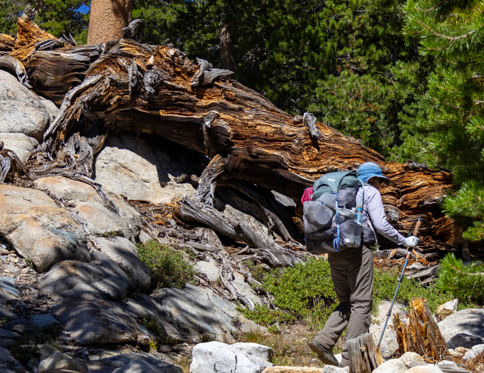
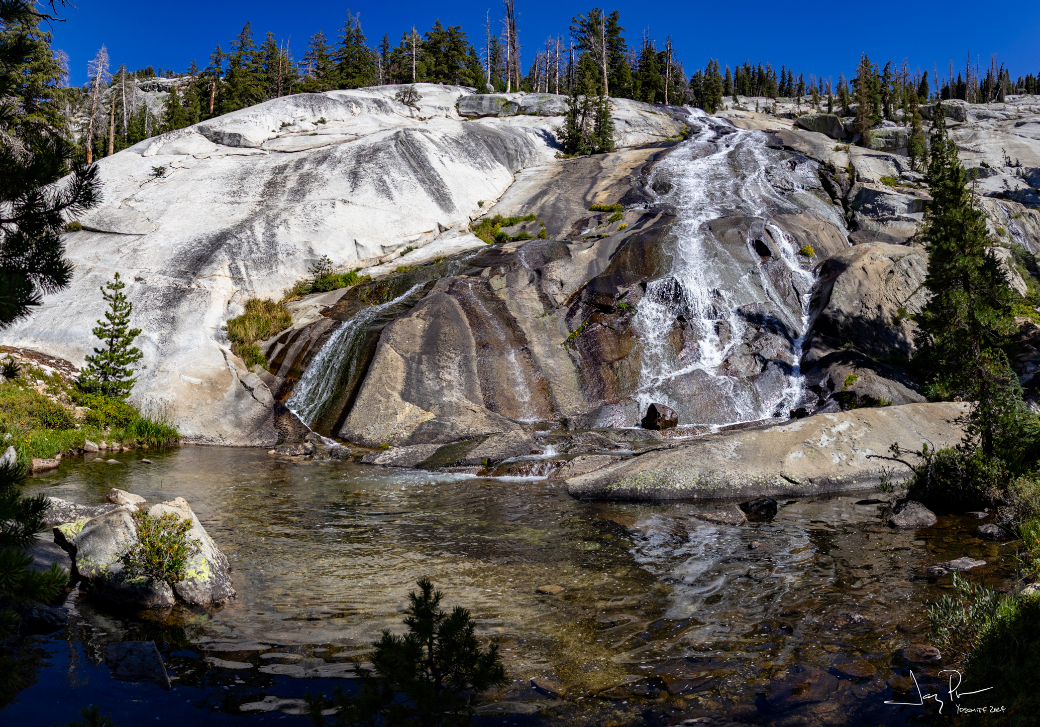
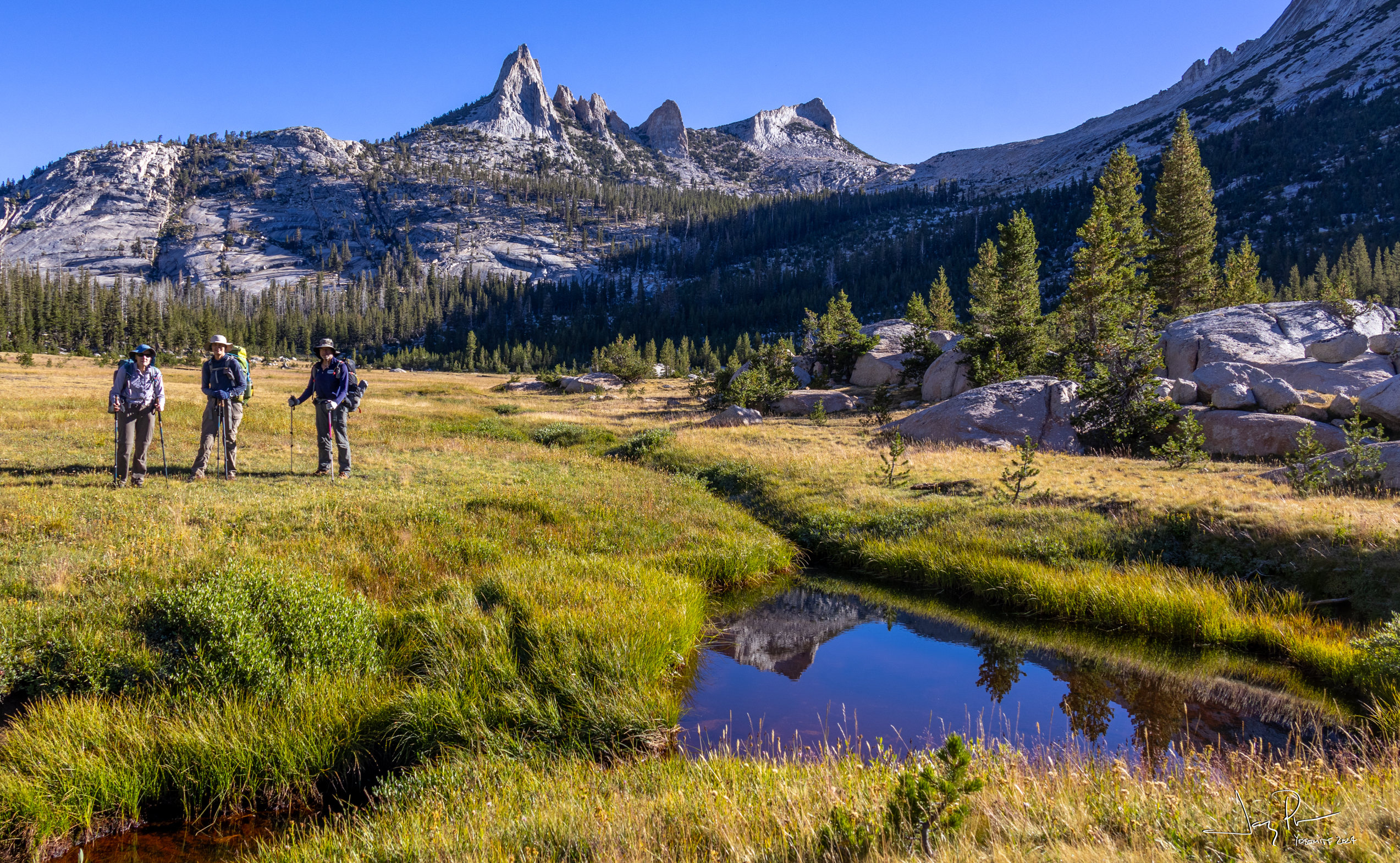
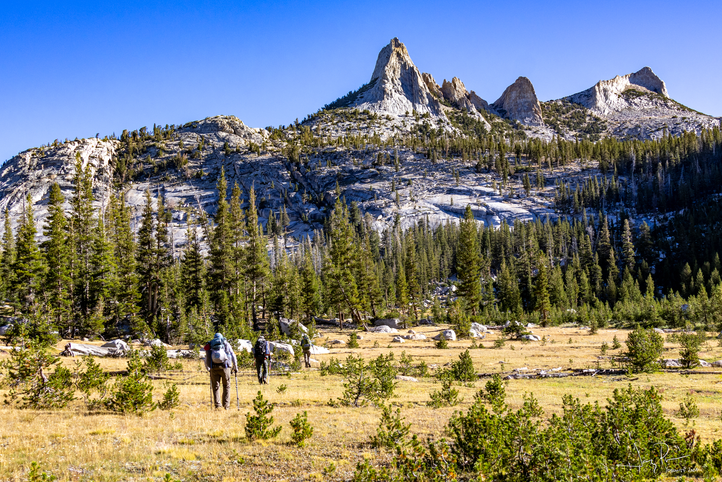
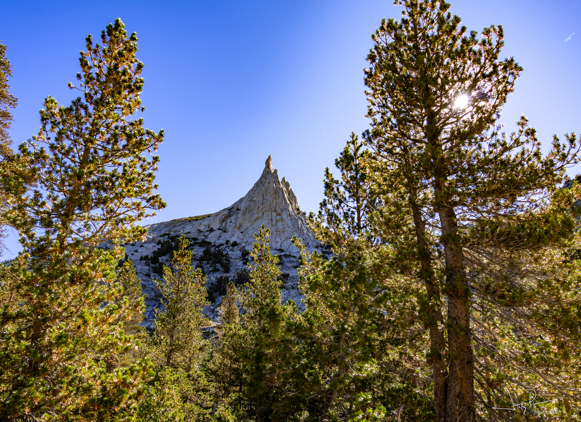
The hike out via Cathedral Fork was very picturesque
Day 8 – Headed Home!
Matthes Lake in reflection
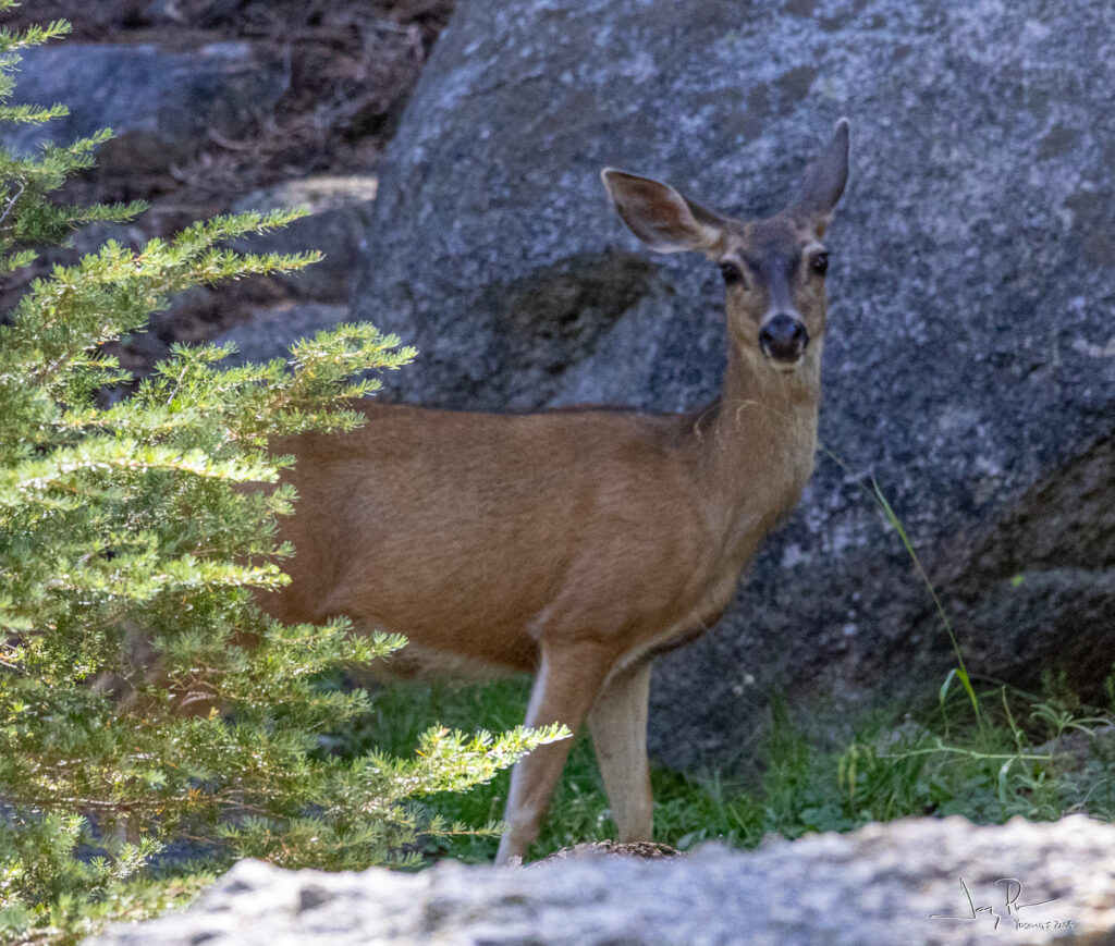
Finally, we saw a deer. Lots of footprints, but never a big animal (until we were almost at the car!)
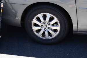
NO SLASHED TIRES!! (Inside joke)
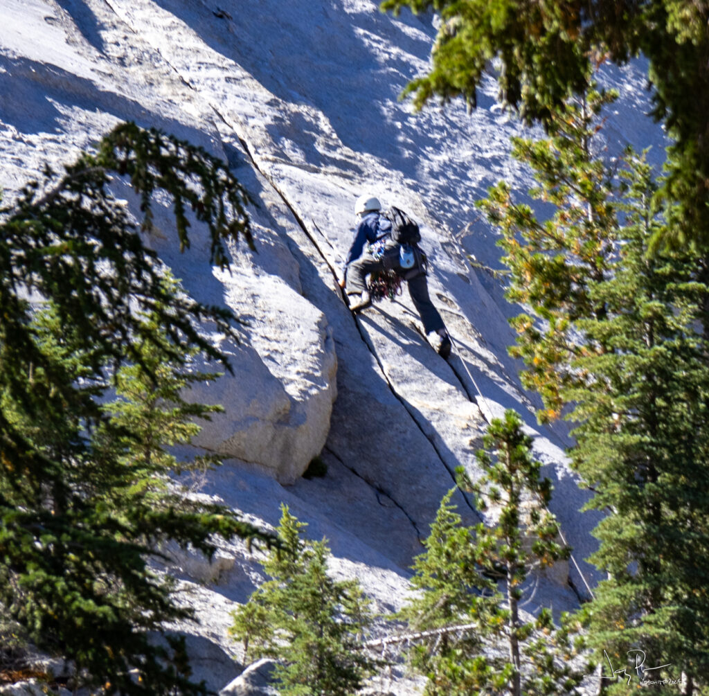
This area is known for climbers. We think we heard some on the mountain, but this was the only sighting.